Brazil · Federal District · Brasília
Vicente Pires, Brasília — Area Guide & Where to Stay
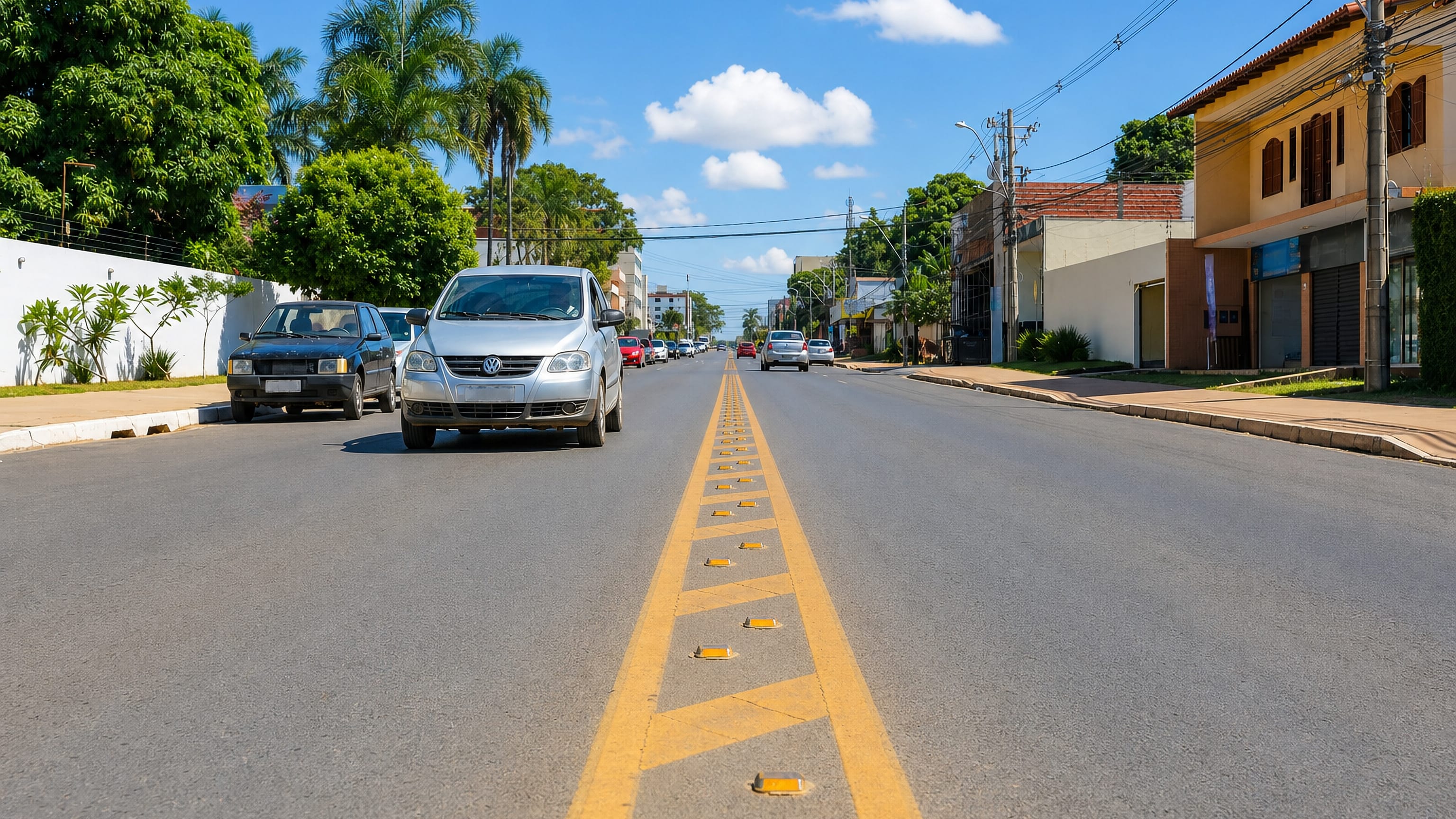
Vicente Pires is an administrative region of the Federal District in Brazil, grown from the farm plots of the old Colônia Agrícola Vicente Pires.
Hotel links are affiliate links: booking through them may earn us a commission, at no extra cost to you. It never affects how places are ranked. How this works


Where to stay in Vicente Pires
Where the beds are, and what that means for the visit.
No lodging is recorded for Vicente Pires. Much of the region is low-rise residential condominiums on former farm plots, the chácaras of the old agricultural colony.
About Vicente Pires
What are the main landmarks in Vicente Pires?
No single sight inside Vicente Pires is named. The region lies in the Cerrado biome, and the Vicente Pires and Samambaia streams cut through it within the Riacho Fundo sub-basin of Lake Paranoá, with the TaguaPark urban park close by.
What is the history of Vicente Pires?
Farmers worked this land from the 1970s. In 1989 about 360 smallholders signed 30-year land-use contracts under a Fundação Zoobotânica scheme covering the Colônia Agrícola Vicente Pires, then part of the Taguatinga region, and two neighbouring colonies. Demand for middle-class housing in the Federal District led to illegal subdivision and sale of the plots, and the farmland became an urban area.
A law of 26 May 2009 made Vicente Pires an administrative region.
Where is Vicente Pires?
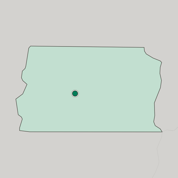
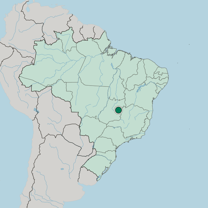
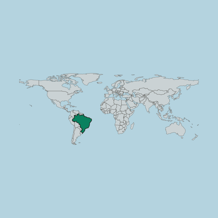
Vicente Pires is bordered by Taguatinga to the west, Águas Claras to the south, Guará to the southeast and the Plano Piloto to the north, and Brazlândia also shares its edge. The ground is chapada, flat-topped with gentle undulations.
Another area in Brasília
Updated October 2026