Eritrea: Regions, Cities & Travel Guide
Eritrea is a country in the Horn of Africa, climbing from the Red Sea coast to the highland plateau around Asmara.
Hotel links are affiliate links: booking through them may earn us a commission, at no extra cost to you. It never affects how places are ranked. How this works


Top destinations in Eritrea
Cities to start from, then drill into areas and hotels.
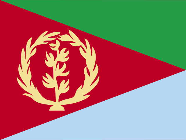 Eritrea
Asmara
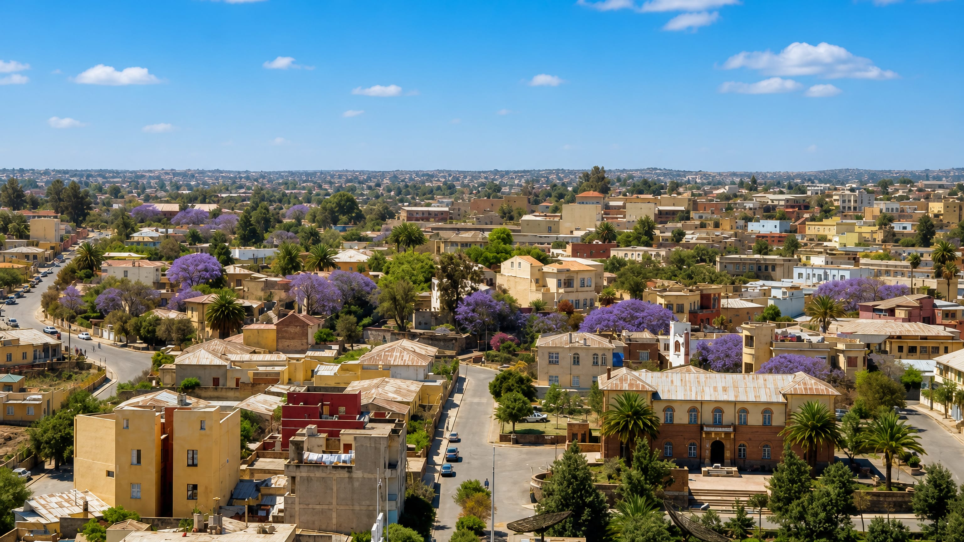
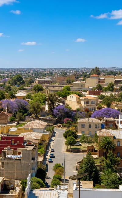
Modernist facades line the boulevards of Asmara, the capital of Eritrea, set high on the escarpment of the Eritrean Highlands in Maekel Region.Where to stay →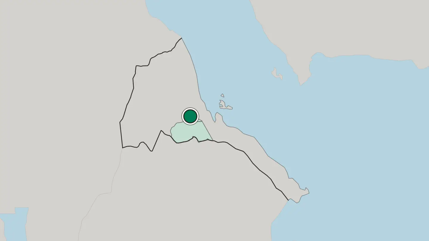
 Eritrea
Keren
Keren, historically Sanhit, is Eritrea's second city: a basin closed by granite, with Italian-era streets and the Debre Sina pilgrimage in the hills east.Where to stay →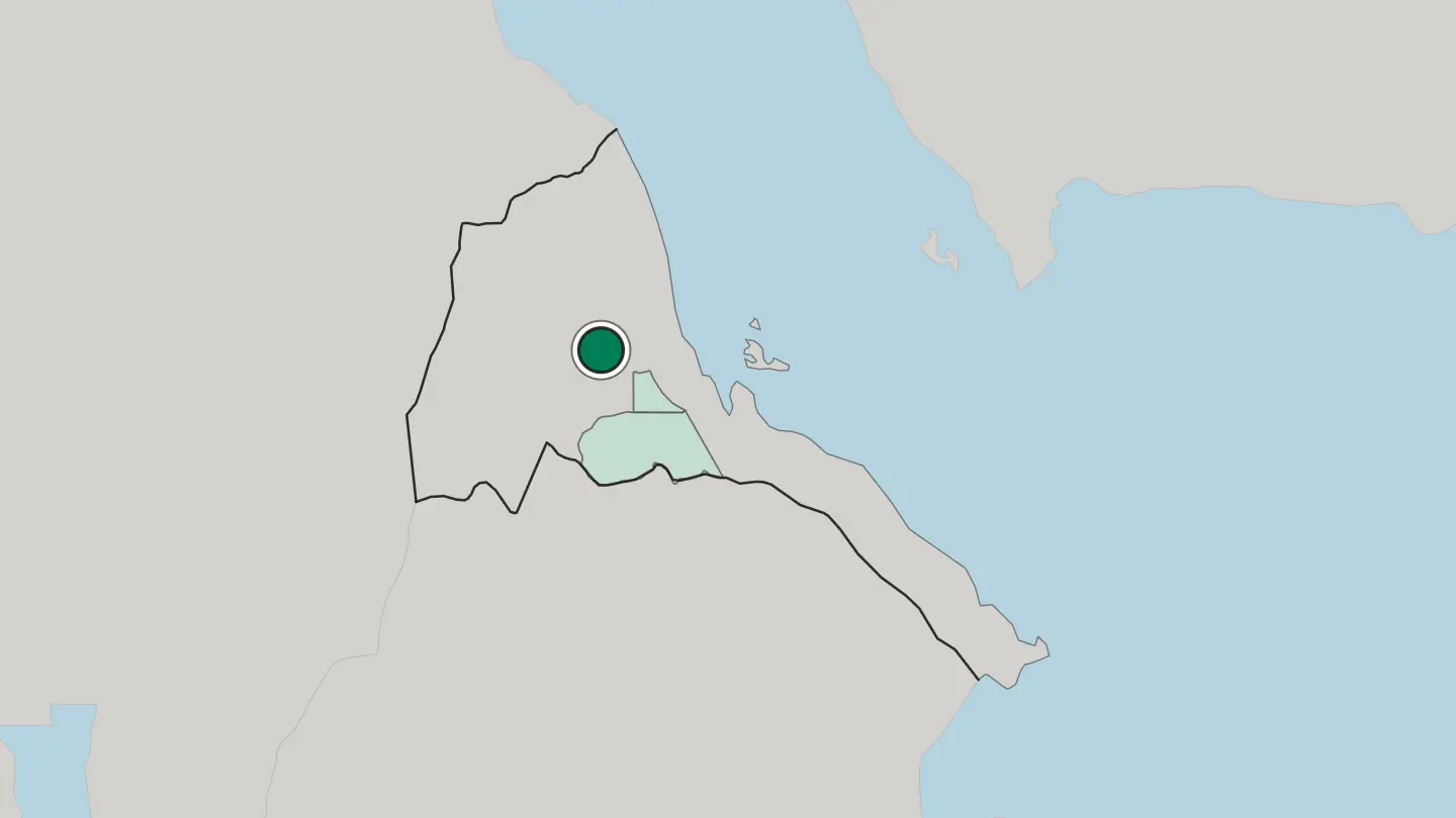
Hotel links are affiliate links: booking through them may earn us a commission, at no extra cost to you. It never affects how places are ranked. How this works
Regions of Eritrea
Eritrea
Anseba Region
Anseba Region covers highland country in northern Eritrea, named for the Anseba River and administered from Keren, its largest city.Towns & cities →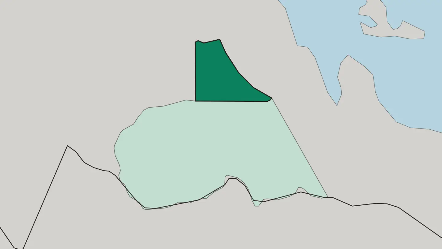 Eritrea
Maekel Region
High on the central plateau of Eritrea, Maekel Region wraps the capital of Asmara, the old highland province once known as Hamasien.Towns & cities →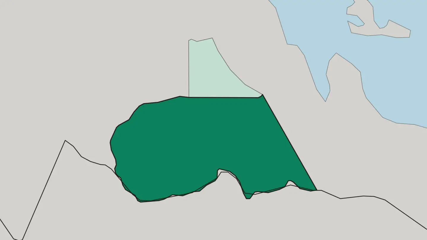
About Eritrea
What is Eritrea known for?
Eritrea is known above all for Asmara, its highland capital, whose Art Deco and Rationalist streets earned the whole historic core a place on the UNESCO World Heritage list in 2017. Down on the Red Sea sits Massawa, a port of coral-stone houses and Ottoman balconies. Offshore lie the Dahlak islands.
West of the capital, the walled town of Keren guards the road into the lowlands, while the Eritrean Highlands roll south toward the peak of Emba Soira.
Where is Eritrea?
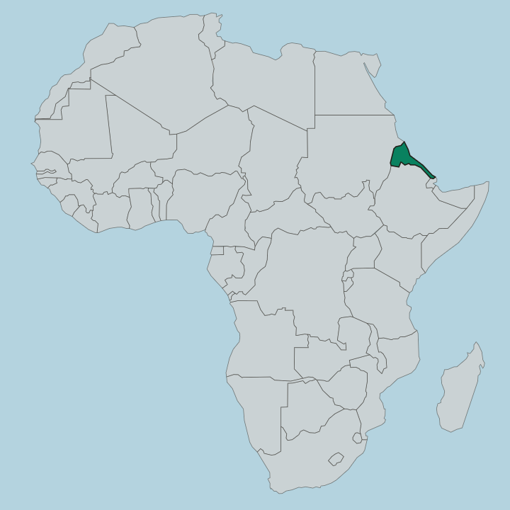
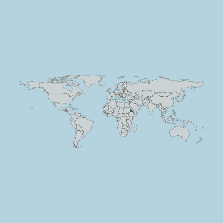
Eritrea occupies the northern corner of the Horn of Africa, and its land is defined by a steep drop from plateau to sea. The Eritrean Highlands run down the spine of the country, a continuation of the Ethiopian plateau, holding the capital, Asmara, at roughly 2,325 metres above the coast. This is the cool, farmed heart of Eritrea.
From the escarpment the ground falls away sharply eastward to a hot coastal strip along the Red Sea, where the port of Massawa bakes at sea level and the Dahlak Archipelago scatters more than 200 islands across shallow water offshore. West and north of the highlands the country flattens into the lowlands of the Gash-Barka region, drained by the Gash and Baraka rivers that run toward Sudan rather than the sea. Rivers here are seasonal.
They fill in the summer rains and shrink to sand for much of the year. To the far south-east the land sinks into the Danakil, part of one of the hottest depressions on earth, while the highest ground rises at Emba Soira, above 3,000 metres. The country's total area is close to that of England.
From coral coast to highland peak, the vertical range is what shapes everything.
What is the history of Eritrea?
Eritrea's modern shape was drawn by Italy. Italian colonisers gathered the Red Sea ports and the highland districts into a single colony in the late nineteenth century, declaring Asmara the capital in 1897 and rebuilding it, in the following decades, as a laboratory for European modernist architecture. Italian rule ended in 1941.
British forces took the territory during the Second World War, and after the war Eritrea was federated with Ethiopia and then annexed outright, a move that erased the federation and set the stage for what followed. A long armed struggle for independence began. It ran for three decades, fought across the highlands and the lowlands alike, and became one of the defining wars of the Horn of Africa.
In a UN-supervised referendum in April 1993 Eritreans voted overwhelmingly for separation, and on 24 May 1993 Eritrea became a sovereign state, one of Africa's youngest. The scars and the pride of that war run through public life. Massawa, shelled during the fighting, still carries damaged facades among its coral houses, while the capital's colonial-era buildings survived largely intact.
Independence is not an abstraction here. It is the founding fact of the country.
What is Eritrea like?
Eritrea holds nine recognised ethnic groups within its borders, each with its own language and traditions, and the country works in Tigrinya and Arabic rather than a single national tongue. The Tigrinya-speaking people of the highlands form the largest group, while Tigre is widely spoken in Keren and across the northern lowlands, and the Afar and Kunama carry their own distinct cultures on the coast and in the west. Daily meals turn on injera, the sour, spongy flatbread of teff, torn by hand and eaten with fiery stews scooped straight from the platter.
Zigni, a berbere-spiced meat stew, is the dish most tied to the table here. Coffee sets the social rhythm. Green beans are roasted, ground, and brewed slowly in a clay jebena while incense burns, and the ritual can stretch across an unhurried afternoon of talk.
Faith is mixed here. Orthodox Christianity holds strong across the highlands, while Islam dominates the lowlands and the Red Sea coast, and the two have long shared the same towns. Asmara adds a Mediterranean layer all its own, with espresso bars, pastry shops, and Italian loanwords folded into everyday speech.
Cinema Impero, an Art Deco picture house on the capital's main avenue, still stands as a monument to that fusion. The mix reads as African, Semitic, and Mediterranean at once.
What is the climate of Eritrea?
Eritrea's climate splits sharply by elevation. Asmara and the highlands stay mild and temperate all year, cool enough for a jacket after dark, with the main rains arriving in the summer months. The Red Sea coast around Massawa is a different world, hot and humid, with midday temperatures that climb past those of the plateau by a wide margin.
Hottest of all is the Danakil in the south-east. Rainfall is scarce in the lowlands and generous on the heights.
How do you get to Eritrea?
Nearly all visitors arrive by air at Asmara International Airport, the country's sole international gateway, which links the highland capital to hubs in Africa and the Middle East. From Asmara a spectacular mountain road drops down the escarpment to Massawa on the coast, one of the finest descents in the region. Travel within Eritrea runs mostly by road.
Permits are needed to leave the capital for many areas, so plans are best fixed in advance. The country rewards patience.
Good for
Updated September 2026