Equatorial Guinea: Regions, Cities & Travel Guide
Equatorial Guinea splits between the volcanic island of Bioko and the Río Muni mainland, Africa's only Spanish-speaking country.
Hotel links are affiliate links: booking through them may earn us a commission, at no extra cost to you. It never affects how places are ranked. How this works


Top destinations in Equatorial Guinea
Cities to start from, then drill into areas and hotels.
 Equatorial Guinea
Malabo
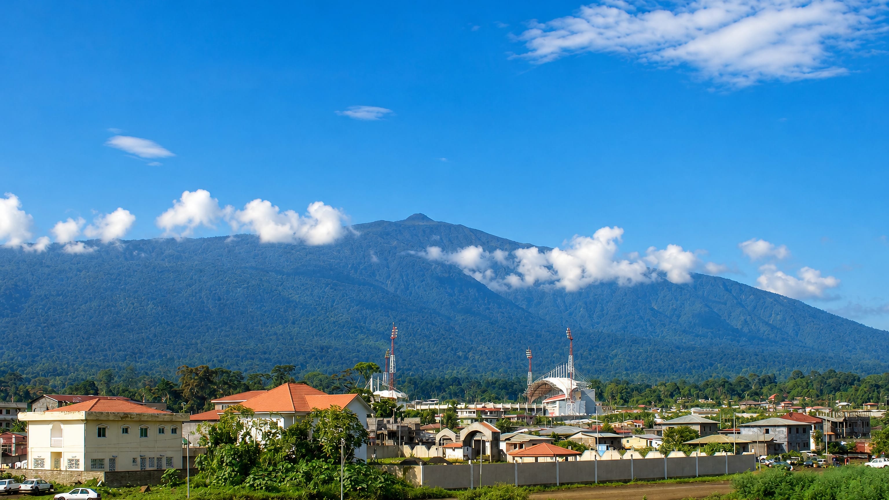
Volcanic hills rise behind Malabo, a port on the north coast of Bioko island and the former capital of Equatorial Guinea, founded in 1827.Where to stay →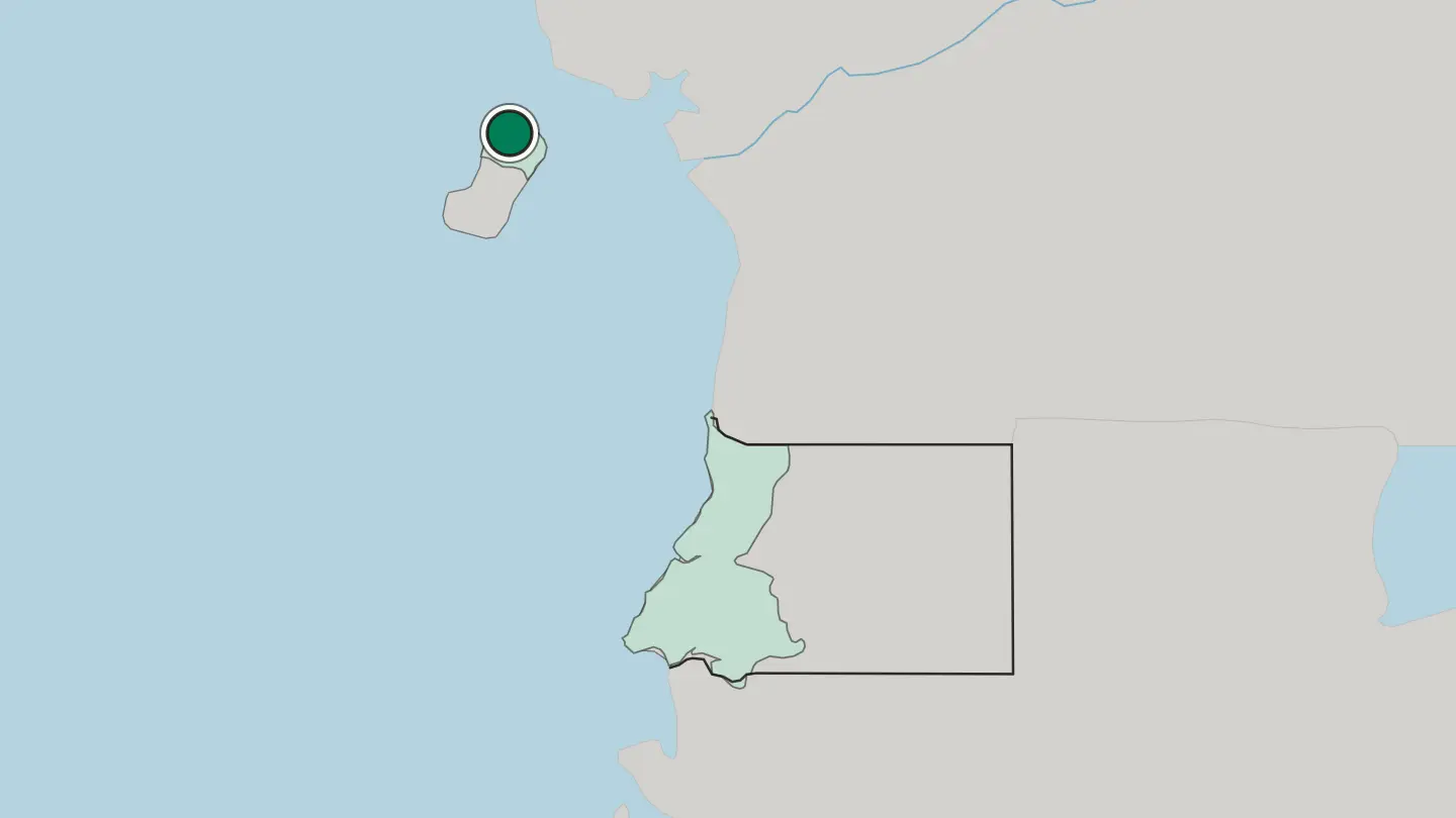 Equatorial Guinea
Bata
Bata is the port city of Río Muni, the mainland region of Equatorial Guinea, and the seat of its Litoral province.Where to stay →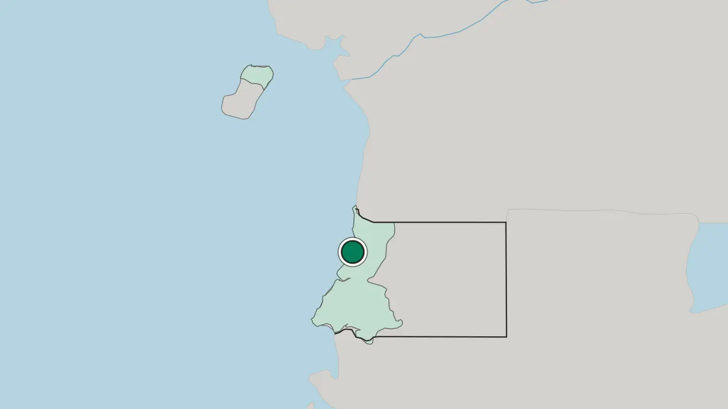
Hotel links are affiliate links: booking through them may earn us a commission, at no extra cost to you. It never affects how places are ranked. How this works
Regions of Equatorial Guinea
Equatorial Guinea
Provincia de Bioko Norte
Forest climbs Pico Basilé across Provincia de Bioko Norte, a heavily wooded province of Equatorial Guinea on the northern part of Bioko island.Towns & cities →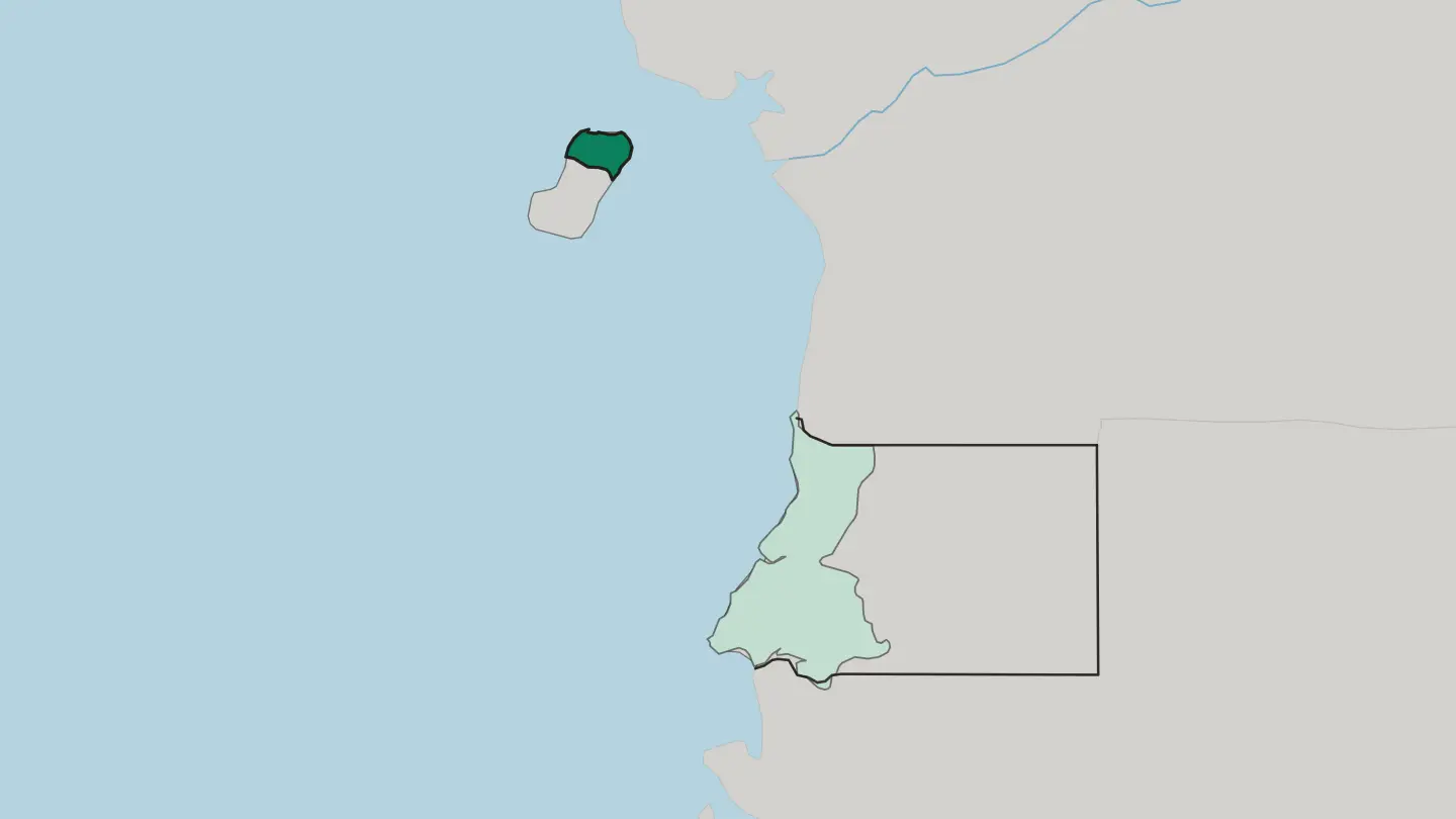 Equatorial Guinea
Provincia de Litoral
Provincia de Litoral is the coastal province on the mainland of Equatorial Guinea, the country's most populous, with Bata as its capital.Towns & cities →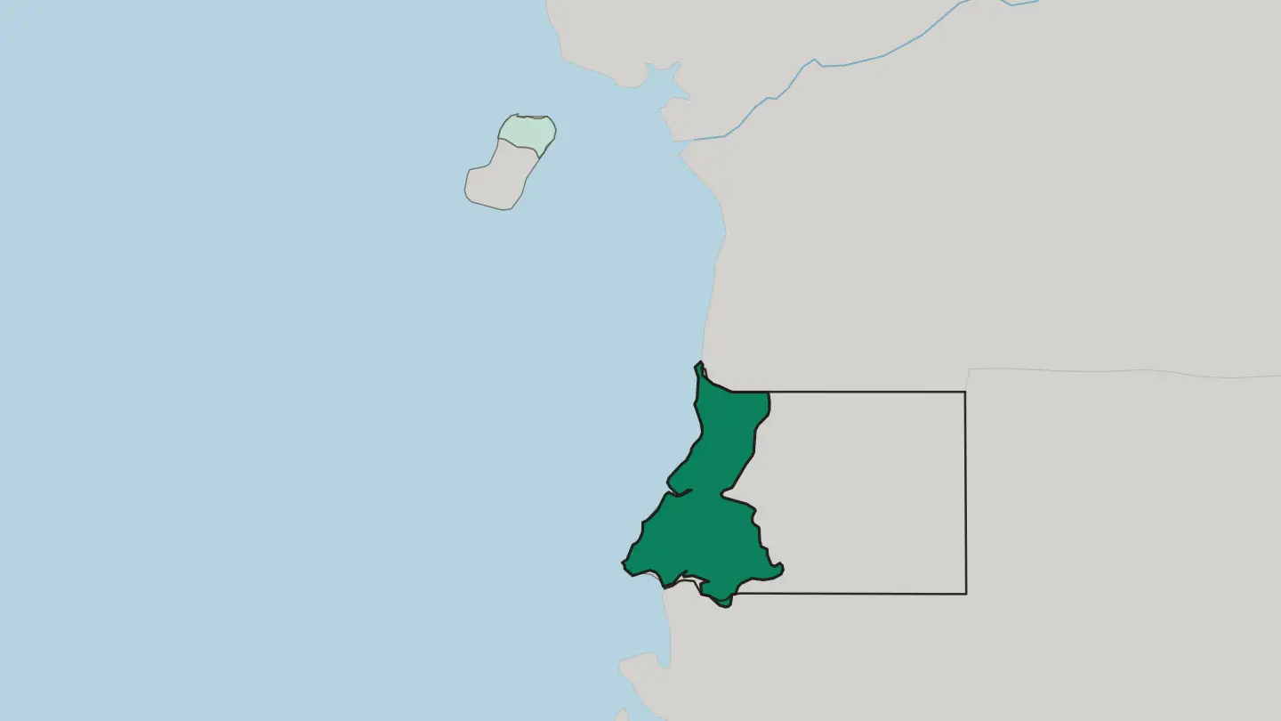
About Equatorial Guinea
What is Equatorial Guinea known for?
Oil made this small nation one of Africa's larger crude producers, yet its older fame is cocoa, grown on Bioko's rich volcanic slopes. The island rises to Pico Basilé, a shield volcano cloaked in rainforest. Bata anchors the mainland. Spanish is the working language here, a legacy no other African state shares, and the Fang and Bubi peoples give the culture its two distinct roots.
It is a country of forest and coast.
Where is Equatorial Guinea?
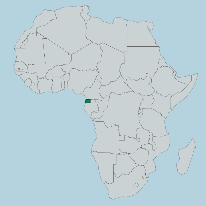
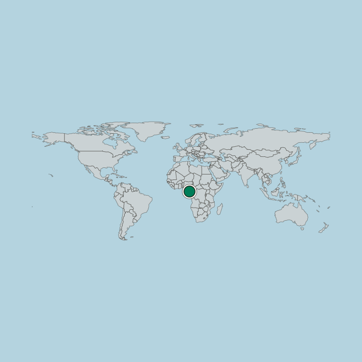
Equatorial Guinea is a country on the west coast of Central Africa, and it comes in scattered pieces. The largest is Río Muni, a block of mainland wedged between Cameroon to the north and Gabon to the south and east, fronting the Gulf of Guinea and cut across its middle by the Benito River. The land is not one thing.
Much of Río Muni is a low, forested plateau that climbs inland toward the Gabonese border, its rivers running west to a coast lined with small offshore islands such as Corisco. Then there are the islands proper. Bioko sits far to the north-west, close to Cameroon, a volcanic island whose slopes lift to Pico Basilé.
Far out in the ocean, well to the south-west, the tiny island of Annobón stands alone, volcanic and remote. This is a compact territory of great contrast. Dense equatorial forest blankets the interior, while the coasts and island shores hold the towns and the beaches.
From island volcano to mainland river the distances are short but the terrain shifts fast.
What is the history of Equatorial Guinea?
The country's borders are a colonial inheritance rather than a natural whole. Bioko came under Portuguese and then Spanish control long before the mainland, and Spain governed the whole territory as Spanish Guinea across almost two centuries. That long Spanish era set the language, the Catholic churches, and the plantation economy that still mark the place.
The Fang tell a harder story. Through the nineteenth and early twentieth centuries they pushed west toward the sea across the mainland, becoming the dominant people of Río Muni before the colonial map was fixed. Independence came in 1968, when Spanish Guinea became the Republic of Equatorial Guinea and Malabo, then called Santa Isabel, served as its capital.
The years that followed were brutal. A dictatorship under the country's first president fell in a 1979 coup, and rule has stayed within one family since. Offshore oil, found in the 1990s, transformed the state's finances and its politics alike.
In a further break with the past, the government has built an inland capital, Ciudad de la Paz, deep in the mainland forest of Río Muni. The seat of power has moved off the island. Its history is short as a nation but layered with empire, migration, and abrupt change.
What is Equatorial Guinea like?
Two peoples shape daily life, and they do not blend easily. The Fang dominate the mainland of Río Muni and much of Bioko, a Bantu-speaking people whose mvet epic poetry, sung to a bamboo harp-zither, carries their oral history through long recited nights. The Bubi are older on the island.
Indigenous to Bioko, they build a matrilineal society distinct from their neighbours, keep their own Bantu tongue, and hold ancestral rites such as the Abira. Spanish binds it all together. It runs through school, church, and government, making this the one corner of Africa where a traveller's Spanish opens every door, layered over the Fang and Bubi languages spoken at home.
The kitchen tells the same mixed tale. Peppersoup simmered with fish, succotash of beans and greens, plantain and cassava from the forest gardens, and cocoa from Bioko's old estates all sit on the table. Music leans on the mvet and the balélé dance.
Everyday culture here reads as African at its root, Spanish in its surface, and firmly its own.
What is the climate of Equatorial Guinea?
Sitting on the Equator, the country stays hot and wet the year round. Rain on Bioko runs from about 1.9 metres a year at Malabo to 10.9 metres at Ureca. Warmth barely wavers here.
Temperatures hold in a narrow warm band from lowland coast to forest interior, easing only on the higher slopes of Pico Basilé. Expect humidity everywhere.
How do you get to Equatorial Guinea?
Most arrivals land at Malabo, on Bioko, the international gateway sitting on the island in the Gulf of Guinea. Bata, the mainland's main city, has the other significant airport and handles the Río Muni side. A short domestic hop or a ferry links island to mainland, since the two halves face open sea between them.
Travellers pick the airport that fits their side of the country. The crossing is over water.
Good for
Updated October 2026