Iceland · Norðurland Vestra
Where to Stay in Sauðárkrókur, Norðurland Vestra


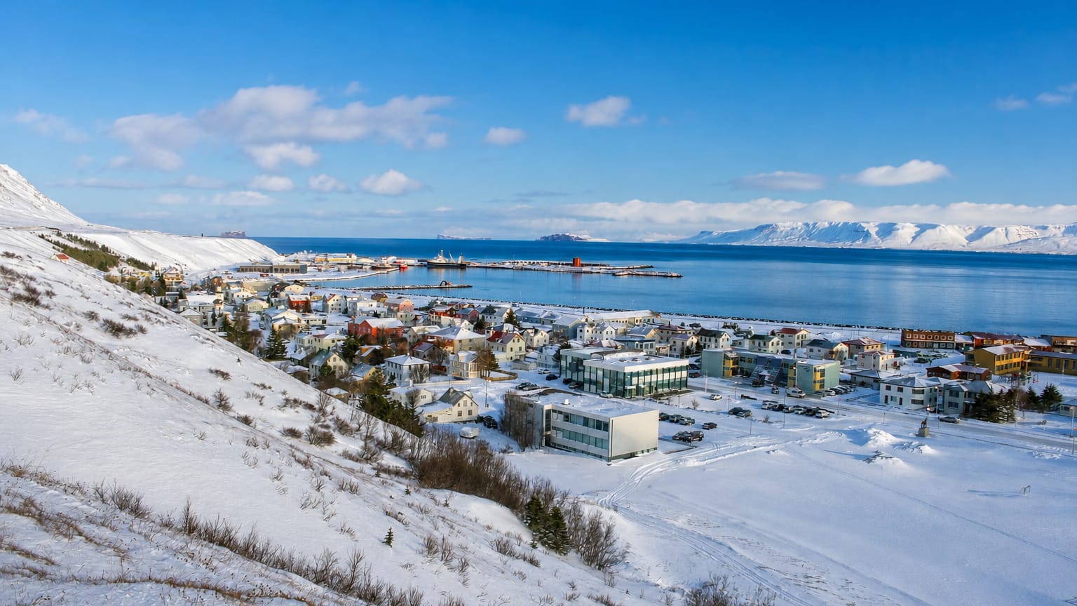
Sauðárkrókur is a fjord town on Skagafjörður, the regional seat of north-western Iceland.
Find your area →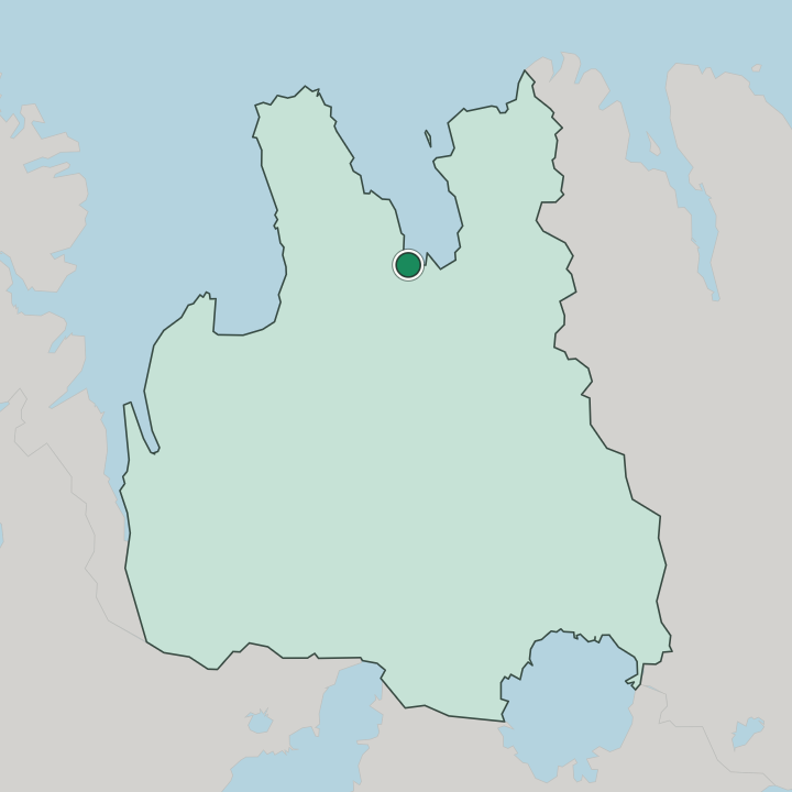
Where to stay in Sauðárkrókur
Where you base yourself shapes the visit — here's the character of each area.
Most rooms in Sauðárkrókur gather in the old centre below Sauðárkrókskirkja, where guest houses and small hotels sit within a short walk of the church, the shops and the streets running down toward the harbour on Skagafjörður. The centre suits visitors who want the town on foot. For getting around Sauðárkrókur on foot, this is the natural base.
Out toward the flat shore land by Sauðárkróksvöllur, a few rooms stand handy for travellers arriving on the coast road and wanting quick parking away from the close grid. Stock is small. Beyond the town the lodgings of Sveitarfélagið Skagafjörður spread among the farms and harbour villages of the fjord, from the trading shore of Hofsós to the inland junction at Varmahlíð, a quieter base for travellers touring this corner of north-western Iceland by car.
Rooms fill in summer. Reserve well ahead in the warm season, when the fjord and the farming valleys around Sauðárkrókur draw the bulk of the visitors.
About Sauðárkrókur
What is Sauðárkrókur known for?
Sauðárkrókur is the main town on Skagafjörður and the seat of both Sveitarfélagið Skagafjörður and the Northwestern Region. The church does the marking. Sauðárkrókskirkja stands over the old grid of streets and gives the town its fixed point, while the football ground at Sauðárkróksvöllur draws the local sporting life on the flat shore land.
As the service centre for a wide farming and fishing district, Sauðárkrókur gathers the shops, schools and trades that the scattered valleys behind the fjord depend on.
What are the main landmarks in Sauðárkrókur?
Sauðárkrókskirkja stands at the heart of Sauðárkrókur. The church rises over the old grid of streets and gives the town its chief landmark, a fixed point above the shore of Skagafjörður. Sport, too, has its own ground in Sauðárkrókur.
The football pitch at Sauðárkróksvöllur sits on the flat coastal land, the home turf of the town's clubs and the gathering place for match days through the short northern season.
What is the history of Sauðárkrókur?
Sauðárkrókur grew from a trading and fishing point on the shore of Skagafjörður. The flat land at the head of the fjord gave boats a landing and the farms behind a market, and the small settlement drew together the trade of a district that had long looked inland to the old cathedral seat of Hólar for its authority. Hólar held the church power.
Sauðárkrókskirkja rose later in the growing town below the slopes, marking the spot where the streets gathered into a proper grid. The town took on the work of a seat. As fishing, trade and farming services built up along the coast, Sauðárkrókur became the centre of its district and then the seat of both Sveitarfélagið Skagafjörður and the Northwestern Region, the largest place on this stretch of fjord coast.
Sport and schooling followed the growth, and the ground at Sauðárkróksvöllur joined the church among the fixed marks of a town that now serves the farms and harbour villages of the whole Skagafjörður country in north-western Iceland.
Where is Sauðárkrókur?
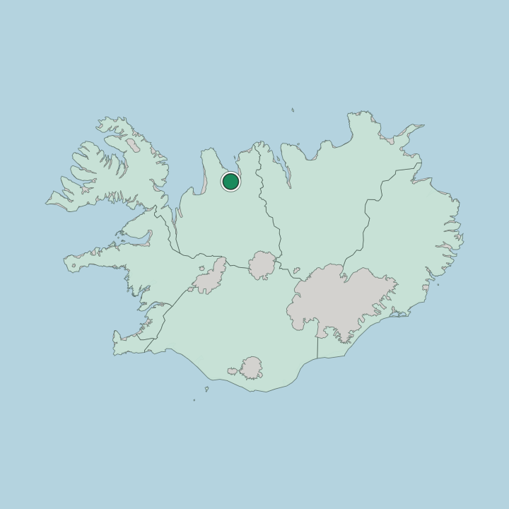
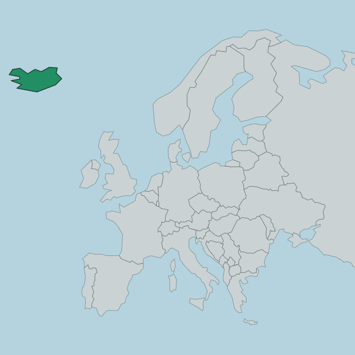
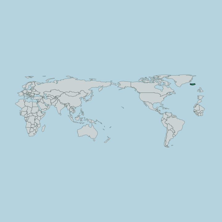
Sauðárkrókur lies on the western shore of Skagafjörður, in north-western Iceland. The town sits on flat shore land where the broad inlet reaches inland from the sea, the old grid of streets gathered below Sauðárkrókskirkja and the slopes that climb toward the interior behind it. Water and farmland frame the place.
Around it the farms and harbour villages of Sveitarfélagið Skagafjörður spread along the fjord and up the green valleys that drain off the highland behind the coast.
What is the climate of Sauðárkrókur?
The sea sets the weather. Cold air off Skagafjörður keeps summers short and cool around Sauðárkrókur, while winter brings snow, hard wind and limited daylight to the shore and the farming valleys behind it alike. Spring arrives late on this coast.
The slopes rising behind the town soften the worst of the gales that sweep in off the open fjord, yet frost and grey skies reach the streets in most months of the year.
How do you get to Sauðárkrókur?
The road carries everyone here. A branch route peels off the ring road near the inland junction of Varmahlíð and runs down to Sauðárkrókur on the shore of Skagafjörður, the practical way in for most travellers. Driving stays the rule.
Long open stretches link the town to the wider farms and harbour villages of north-western Iceland, with fuel and services thinning out fast once you leave the fjord coast behind.
Good for
Updated July 2026