New Zealand · Canterbury
Where to Stay in Christchurch, Canterbury


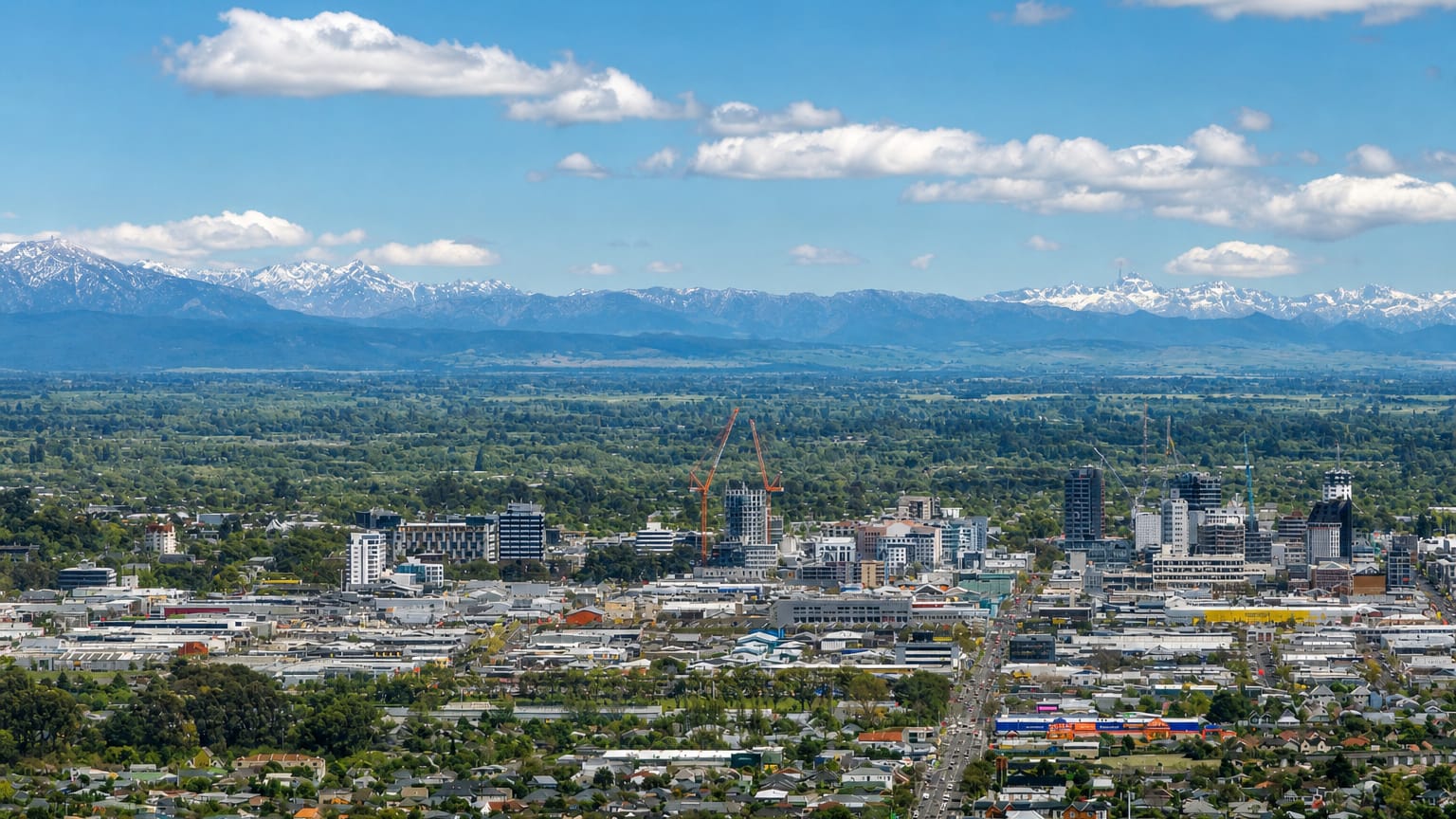
The Avon River winds through Christchurch, the largest city of the South Island of New Zealand, spread flat across the Canterbury Plains.
Find your area →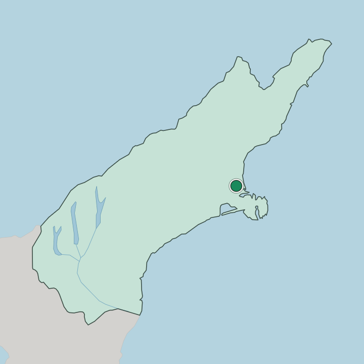
Where to stay in Christchurch
Each area has its own feel; here's who each one suits.
Christchurch spreads flat across the Canterbury Plains, so lodging tends to gather in the central grid the Avon River threads through. The city core around Cathedral Square and the Christchurch Art Gallery puts the museums, gardens, and the riverside walks within an easy stroll, and it suits a first visit best. Distances stay short on the level ground.
The blocks near the Canterbury Museum and the botanic gardens keep the green edge of the Garden City close, a quieter base within reach of the centre. Toward the Pacific Ocean the streets run out to the beaches at the eastern edge of the city. If you prefer the water to the grid, the shoreline suburbs trade the central galleries for surf and quieter nights, though they sit farther from the museums.
The Port Hills rise to the south toward the Banks Peninsula, and the slopes there offer views back over the plains for those with a car. Cycling suits the flats. Most visitors do best in the central grid, staying close to the Avon River and to the Canterbury Earthquake National Memorial that lines its banks in the heart of town.
About Christchurch
What is Christchurch known for?
Christchurch is known as the largest city of the South Island and the centre of the Canterbury region. Parks define it. Its nickname, the Garden City, comes from the tree-lined avenues and green public spaces that follow the Avon River right through the flat centre of the town.
English and Māori heritage both run deep. The Canterbury Museum, the Christchurch Art Gallery, and the Canterbury Earthquake National Memorial draw visitors to the riverside grid.
What are the main landmarks in Christchurch?
Christchurch keeps its landmarks close to the Avon River and the central grid. The Canterbury Museum holds the region's collections beside the botanic gardens, and the Christchurch Art Gallery stands nearby in the heart of the Garden City. Riverside memory runs deep here.
The Canterbury Earthquake National Memorial lines the water, and the 185 chairs installation answers it a short way off, while the Cathedral of the Blessed Sacrament and Christ's College Chapel mark the older architectural fabric alongside Riccarton House and Ravenscar House Museum.
What is the history of Christchurch?
Christchurch was founded in 1848 as a planned Church of England settlement on the flat land west of the Pacific coast. The Canterbury Plains gave it room. Surveyors laid out a formal grid astride the Avon River, and the settlers modelled the young town on English precedent, planting the parks and avenues that later earned it the name Garden City.
The land had long been Māori country before the ships arrived, and that heritage runs beneath the English street plan. The city grew as the market and port town of the Canterbury region, its wealth drawn from the plains and shipped out past the Port Hills to the sea. Stone churches rose.
Through the Victorian decades came the Cathedral of the Blessed Sacrament and the chapel at Christ's College, among the civic halls of a prospering town. Earthquakes struck the Canterbury region in the early twenty-first century and brought down much of the old centre. The Canterbury Earthquake National Memorial and the 185 chairs installation beside the Avon River now stand for that loss, and the rebuilding reshaped the very grid the founders had first drawn.
Where is Christchurch?
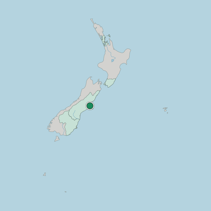
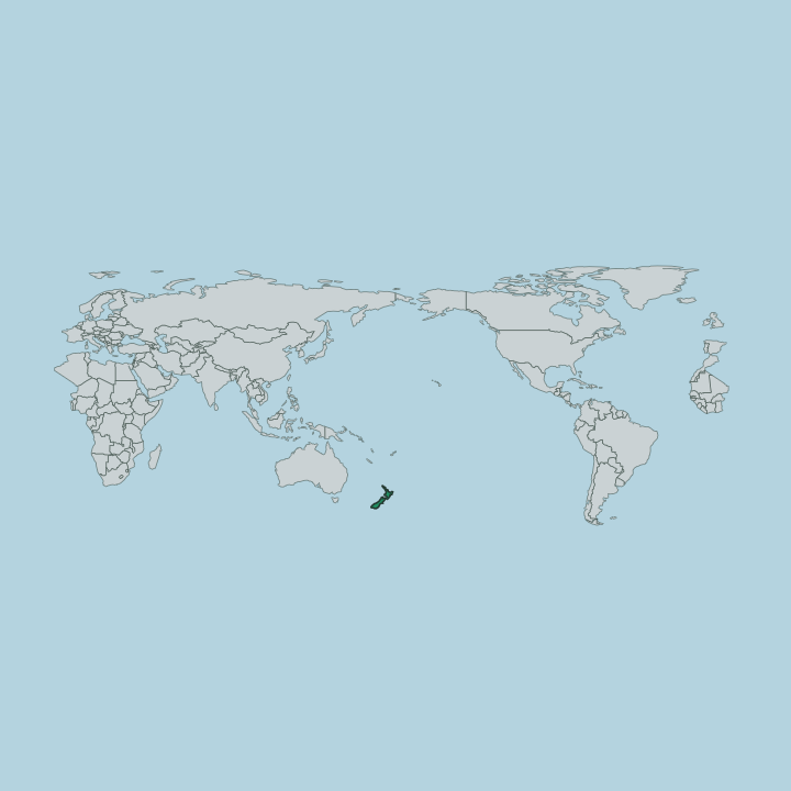
Christchurch lies on the east coast of the South Island of New Zealand, near the centre of the Canterbury region. The city sits on the flat Canterbury Plains, just above sea level, with the Avon River winding through its centre. To the east the Pacific Ocean edges the city near the southern end of Pegasus Bay, and to the south the Port Hills rise toward the ancient volcanic ground of the Banks Peninsula.
The plains keep it flat. Only those southern hills break the level ground the city is built on.
What is the climate of Christchurch?
Christchurch has a temperate oceanic climate with regular, moderate rainfall spread through the year. Sheltered from the west by the high country of the South Island, the city sees warm and settled summers and cool, sometimes frosty winters on the open Canterbury Plains. Rain comes evenly.
The Pacific Ocean off the eastern edge moderates the extremes, so the seasons on the plains stay gentler than the inland ranges to the west.
How do you get to Christchurch?
Christchurch is the main entry point to the South Island of New Zealand. Its international airport on the western edge of the Canterbury Plains carries the bulk of the island's arriving traffic, and rail and highway routes fan out from the city across the plains and over the ranges to the west coast. The flat land makes travel easy.
Roads climb the Port Hills to the south toward the Banks Peninsula and its harbours, while the coastal route runs north along Pegasus Bay.
Good for
Updated July 2026