Puerto Rico
Bayamón Municipio, Puerto Rico — Towns & Travel Guide
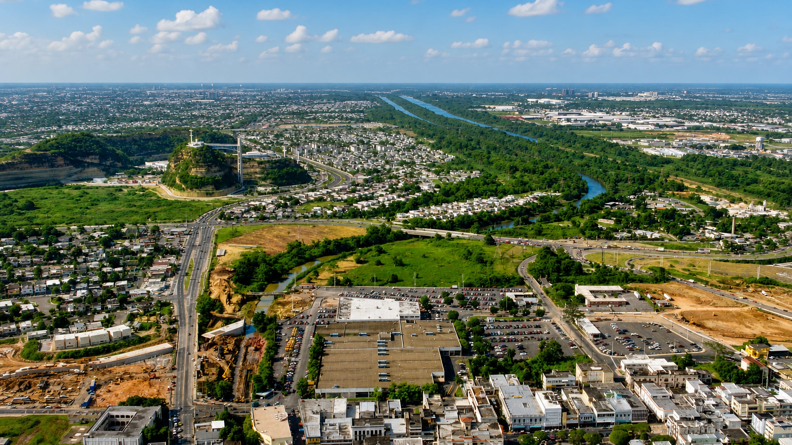
Bayamón is the second largest city in Puerto Rico, a municipality of the San Juan metropolitan area with a small historic downtown at its core.
Hotel links are affiliate links: booking through them may earn us a commission, at no extra cost to you. It never affects how places are ranked. How this works


Towns & cities in Bayamón Municipio
One town here has its own guide — it links to where to stay.

 Puerto Rico

Bayamón
Bayamón, founded in 1772, is the second largest city in Puerto Rico, a San Juan metropolitan municipality whose small historic downtown holds its museums.Where to stay →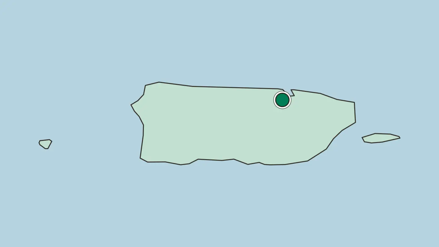
Hotel links are affiliate links: booking through them may earn us a commission, at no extra cost to you. It never affects how places are ranked. How this works
About Bayamón Municipio
Scale is the thing to know first.
What is Bayamón Municipio known for?
Bayamón ranks as the second largest city in Puerto Rico, one of the municipalities of the Northern Coast region. The downtown is small. What Bayamón carries in bulk is parks, malls and family attractions, the everyday infrastructure of a large municipality rather than a set of monuments.
It dates from 1772.
Where is Bayamón Municipio?
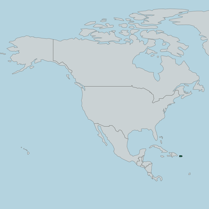
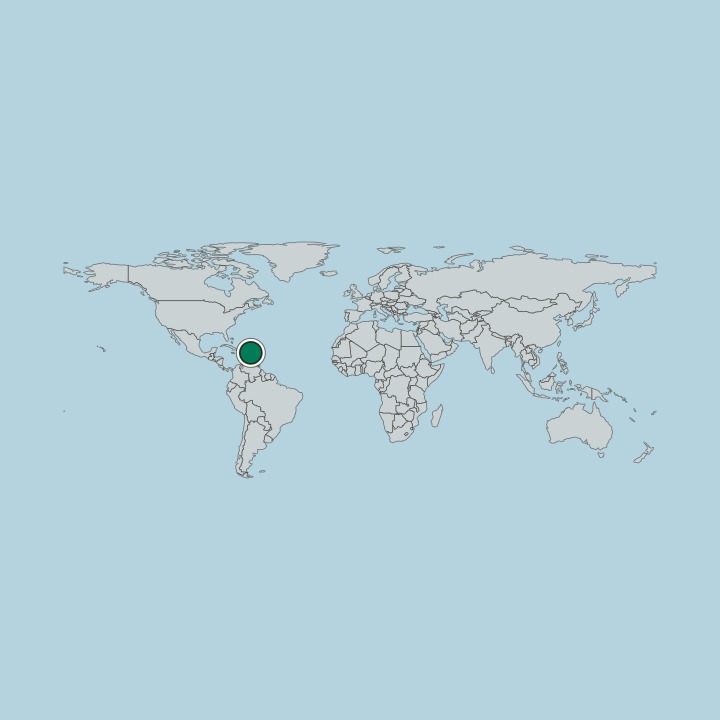
The Northern Coast region holds it. Bayamón covers about 113 square kilometres of the northern coastal valley, with Toa Baja and Cataño to the north, Guaynabo to the east, Aguas Buenas and Comerío to the south and Toa Alta and Naranjito to the west, and its twelve districts take in far more than its old centre. It shares the metropolitan area with six other municipalities, among them San Juan, Guaynabo and Carolina.
That is the frame that matters more than any physical boundary, because Bayamón is not a separate town on the map so much as one of the large municipalities that the metropolitan area is built from. The band is tropical, and the hemisphere is northern. Inside that area the pattern is uneven.
A small historic downtown sits at one end, in the Pueblo de Bayamón, the administrative centre and main population core of the municipality. San Juan is next door. The capital gives Bayamón its metropolitan context, and the Northern Coast region gives it the wider one, so the municipality reads as part of two larger units rather than as an isolated place.
Nothing about the municipality is remote.
What is Bayamón Municipio like?
Spanish is spoken here, and the municipality's official name is Bayamón. Bayamón dates from 1772, and the small historic downtown is the part of the municipality where that date still means something, since the rest of the built area belongs to a much later period of growth. The scale of the place changed its character.
Growth left Bayamón with parks, malls and family attractions in quantity rather than with a dense old quarter. The capital is the other half. Bayamón shares an everyday life with the capital, and the cultural weight of that area is spread across the several municipalities that make it up.
The Northern Coast region is the wider setting. Family attractions are the local specialism the record names, which puts Bayamón closer to the everyday side of Puerto Rico than to the heritage circuit, and the historic downtown is small enough to be walked in an afternoon. The date of 1772 stays on the record.
What is the history of Bayamón Municipio?
Juan Ramírez de Arrellano founded Bayamón on 22 May 1772. Before the town had streets, people reached San Juan by river, and a military engineer drew its first plan in 1791. The small historic downtown is what remains of that founding on the ground.
Its boundaries moved in 1878. The barrio of Ascencio passed to Aguas Buenas and Palo Seco to Toa Baja. The eighteenth-century municipality survives as a name and a downtown inside a much larger urban unit.
What is the climate of Bayamón Municipio?
A tropical climate governs the year. Bayamón lies in the tropical band of the northern hemisphere within the Northern Coast region of Puerto Rico, so the weather it gets is the weather of that whole stretch of the Northern Coast region rather than anything particular to the municipality. San Juan shares it.
Conditions across Bayamón track those of the neighbouring capital closely. Parks fill much of that ground.
How do you get to Bayamón Municipio?
San Juan is the arrival point. Getting to Bayamón is a matter of crossing the metropolitan area from the capital rather than making a journey between separate towns. The Northern Coast region carries the traffic.
Bayamón has no airport of its own because San Juan is so close, and its 113 or so square kilometres take some crossing themselves. The downtown is the compact part.
Common questions
What is the best area to stay in Bayamón Municipio?
Bayamón historic downtown: the small old core of Bayamón. San Juan: the capital end of the San Juan metropolitan area. Outer Bayamón: the parks, malls and family attractions of Bayamón.
Good for
More regions in Puerto Rico
Updated October 2026