United States · California · San Diego
Mira Mesa, San Diego — Area Guide & Where to Stay
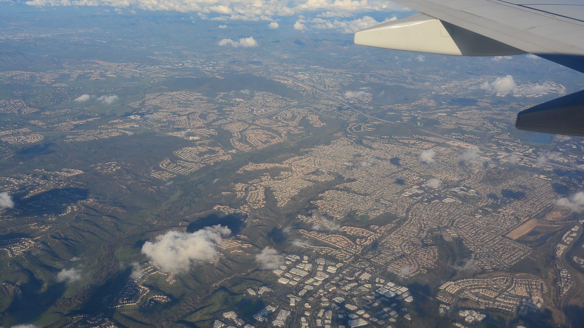
Mira Mesa is a community of San Diego, California, laid out from the late 1960s between Interstate 15, Interstate 805, and Los Peñasquitos Canyon.
Hotel links are affiliate links: booking through them may earn us a commission, at no extra cost to you. It never affects how places are ranked. How this works


Where to stay in Mira Mesa
The practical side of choosing where to sleep.
Freeway access decides this one. Mira Mesa lies between Interstate 15 and Interstate 805, which makes it a practical base for anyone driving around San Diego, and the rooms are the roadside kind rather than anything looking onto Los Peñasquitos Canyon. Sorrento Valley and Sorrento Mesa suit work trips best. Beaches lie elsewhere.
Travellers whose days run on the freeways and the business parks save real time by sleeping here, while anyone who came for the San Diego coast should book nearer the water.
Find hotels in Mira Mesa
Direct booking searches for these neighbourhoods.
Mira Mesa
Roadside rooms on the mesa between the two freeways, with Los Peñasquitos Canyon closing the far end. Few places to stay nearby — book ahead.Find hotels in Mira Mesawork trips inside the Mira Mesa Community Plan AreaSorrento Valley
Office ground sharing the plan boundary with Sorrento Mesa, built for weekday business rather than sightseeing.Find hotels in Sorrento ValleyHotel links are affiliate links: booking through them may earn us a commission, at no extra cost to you. It never affects how places are ranked. How this works
About Mira Mesa
What are the main landmarks in Mira Mesa?
Open ground survives along one edge. Los Peñasquitos Canyon cuts the northern boundary of Mira Mesa and gives the community its one stretch of unbuilt floor and slope, reached from streets that simply end against it. Marine Corps Air Station Miramar holds the southern side.
Between the two the plan area runs flat across the mesa, and Sorrento Valley and Sorrento Mesa sit inside the same boundary as working ground rather than as places to sightsee. Shopping frontage along the main roads carries the community's public life.
What is the history of Mira Mesa?
Mira Mesa was established in the late 1960s. That date carries more weight here than any older layer, because the community was planned whole rather than grown outward from a village core, and its street pattern still shows the single design behind it. San Diego recognises the result as the Mira Mesa Community Plan Area.
The name covers more than the houses. Sorrento Valley and Sorrento Mesa were drawn into the same plan, so a boundary set by Interstate 15, Interstate 805, Los Peñasquitos Canyon, and Marine Corps Air Station Miramar describes a piece of California wider than most people mean.
Where is Mira Mesa?
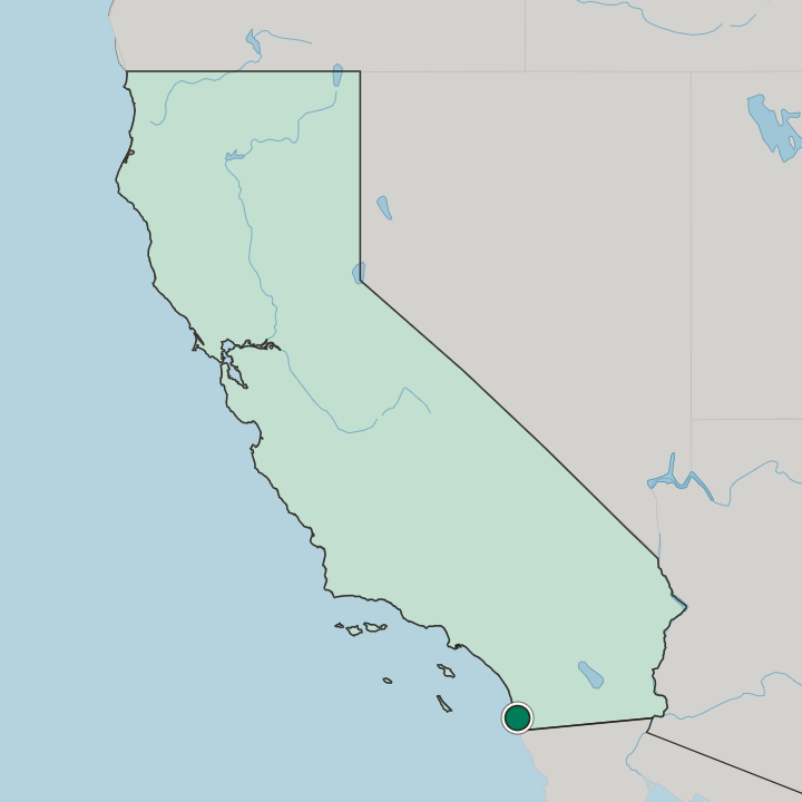
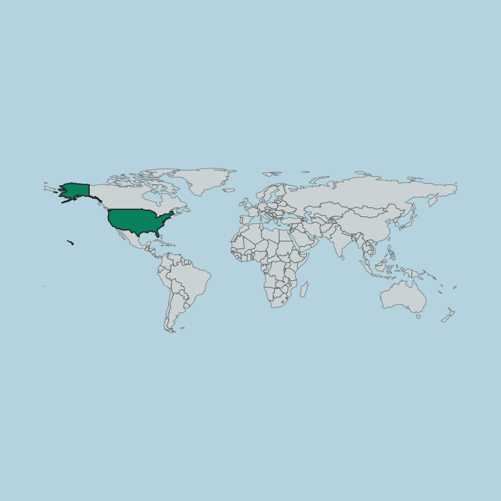
Interstate 15 closes the east and Interstate 805 the west, with Los Peñasquitos Canyon on the north and Marine Corps Air Station Miramar on the south.
Common questions
What is the best area to stay in Mira Mesa?
Mira Mesa: drivers working the Interstate 15 and Interstate 805 corridor. Sorrento Valley: work trips inside the Mira Mesa Community Plan Area.
More areas in San Diego
Updated September 2026