Zambia: Regions, Cities & Travel Guide
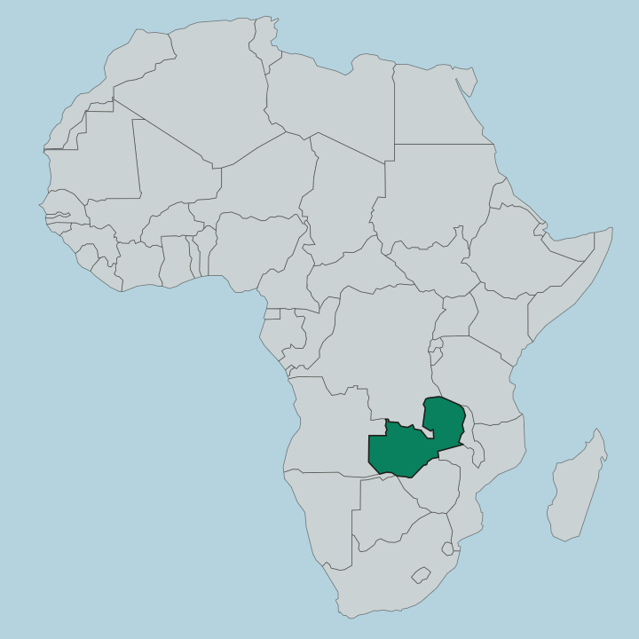
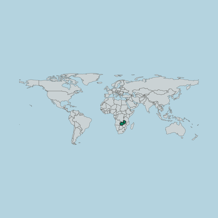
Zambia is a landlocked country in Southern Africa, shaped by the Zambezi River and the safari valleys of the Luangwa, with Lusaka as its capital.
Hotel links are affiliate links: booking through them may earn us a commission, at no extra cost to you. It never affects how places are ranked. How this works


Top destinations in Zambia
Cities to start from, then drill into areas and hotels.
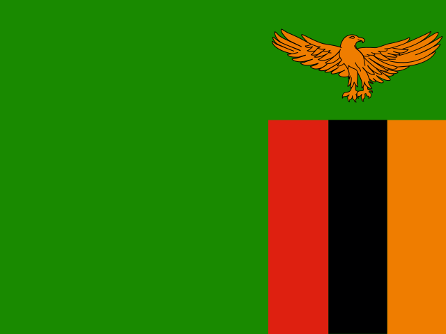 Zambia
Lusaka
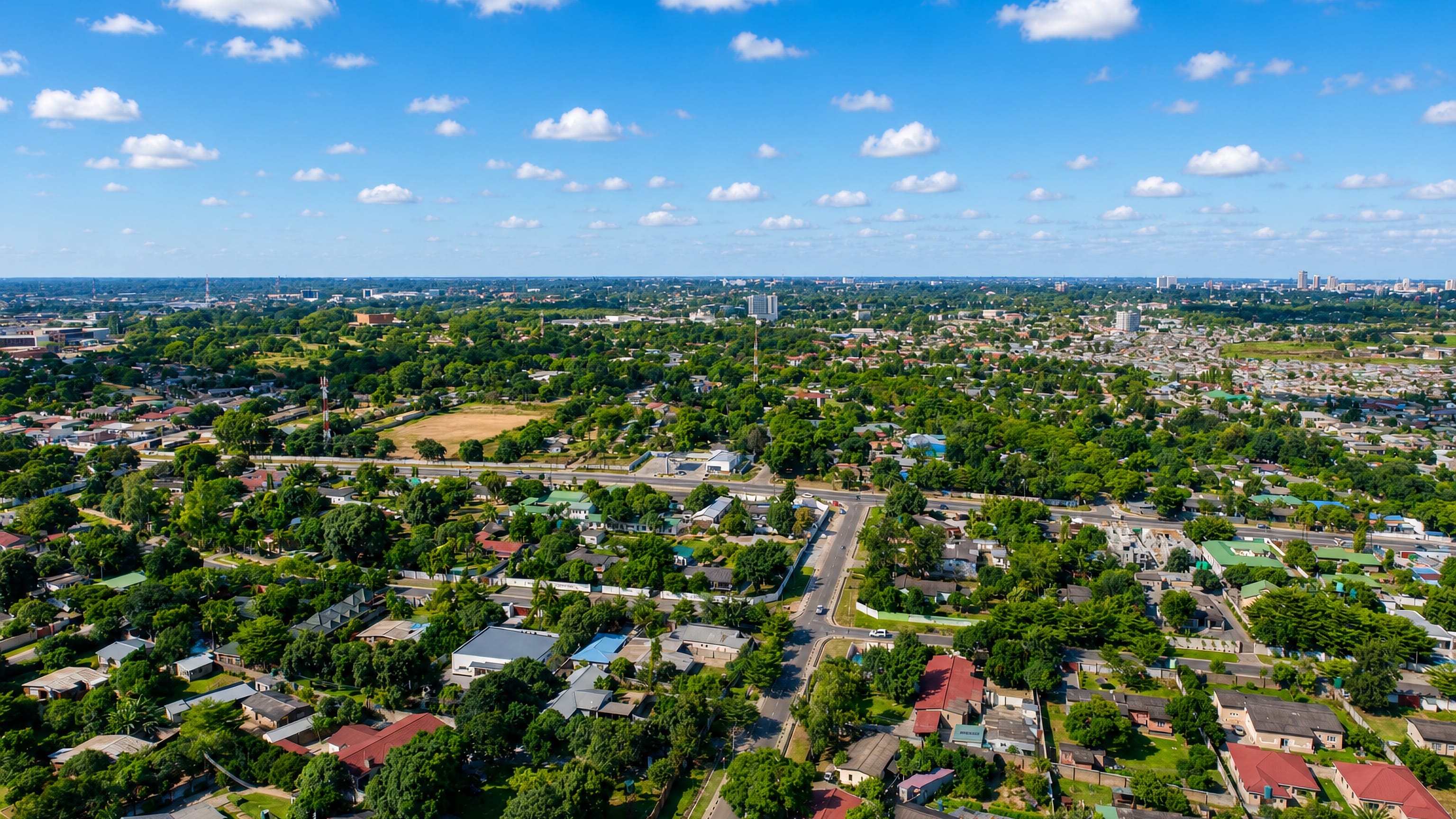
High on Zambia's central plateau, Lusaka is the capital and largest city, the country's centre of commerce and government.Where to stay →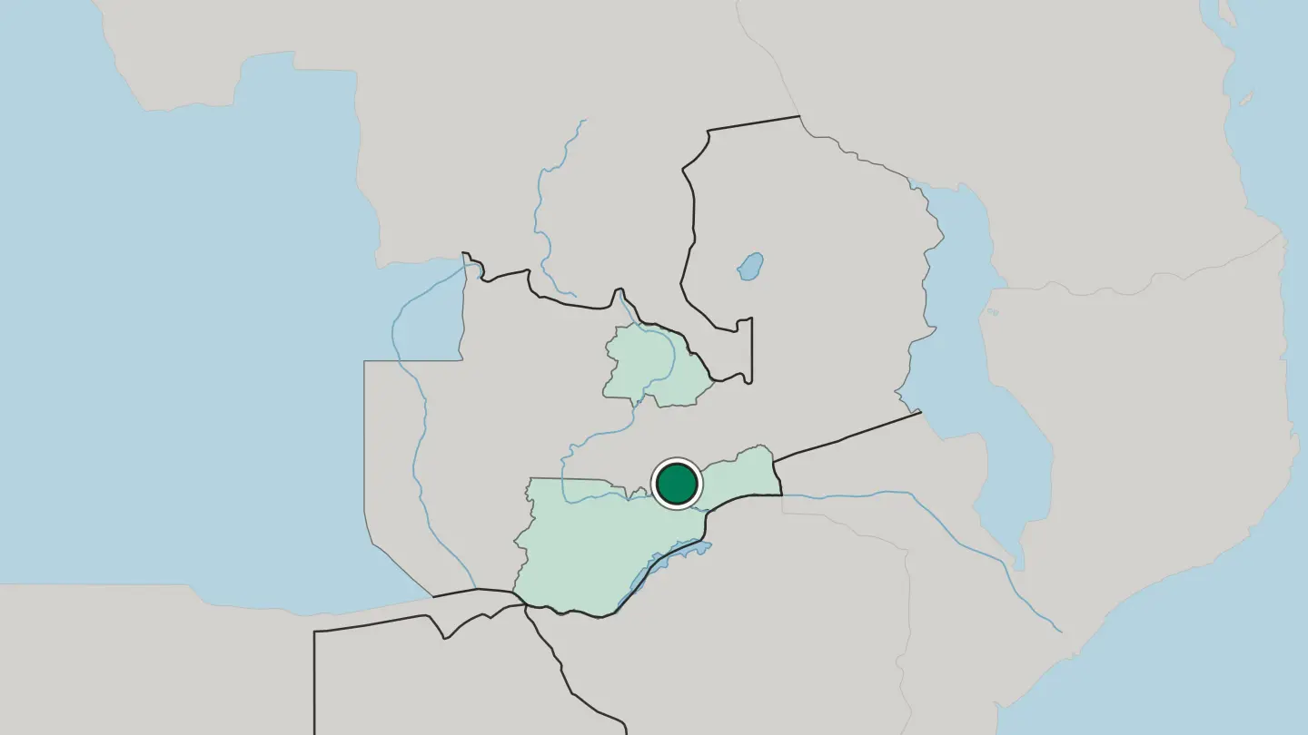
 Zambia
Livingstone
Livingstone is a city of south Zambia on the Zambezi, the town at the great Victoria Falls, named for the explorer who first made it known to the world.Where to stay →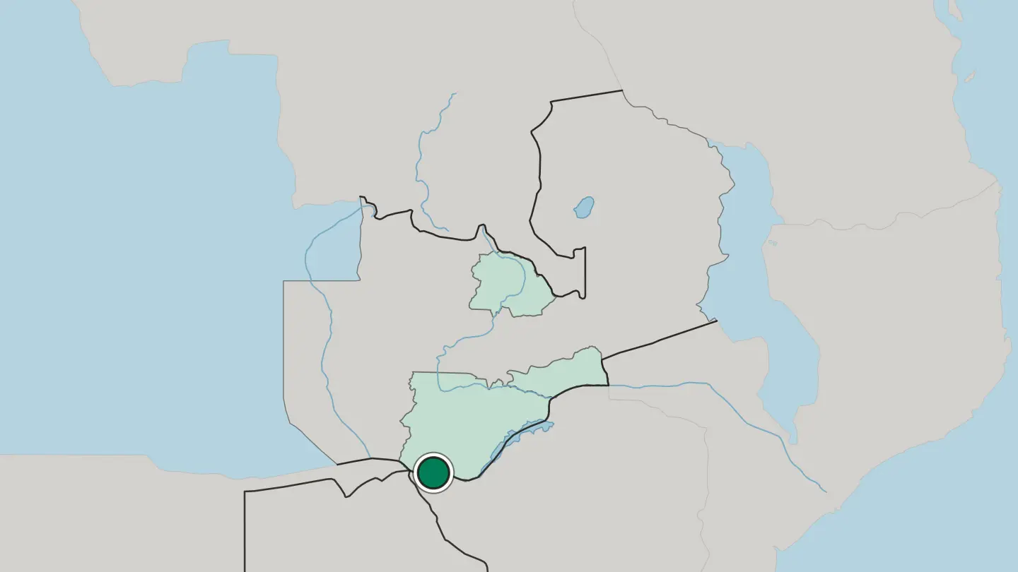
 Zambia
Ndola
Ndola is a city of the Copperbelt in northern Zambia, the industrial heart of the copper country, a plateau town near the mines and the Congo border.Where to stay →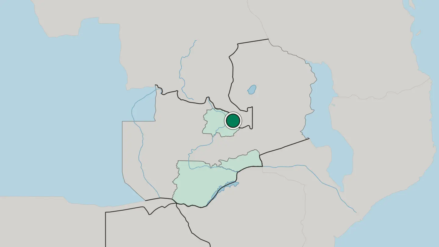
Hotel links are affiliate links: booking through them may earn us a commission, at no extra cost to you. It never affects how places are ranked. How this works
Regions of Zambia
Zambia
Copperbelt Province
Copperbelt Province covers the mineral-rich Copperbelt of Zambia, with farming and bush country to the south and Haut-Katanga across the border.Towns & cities →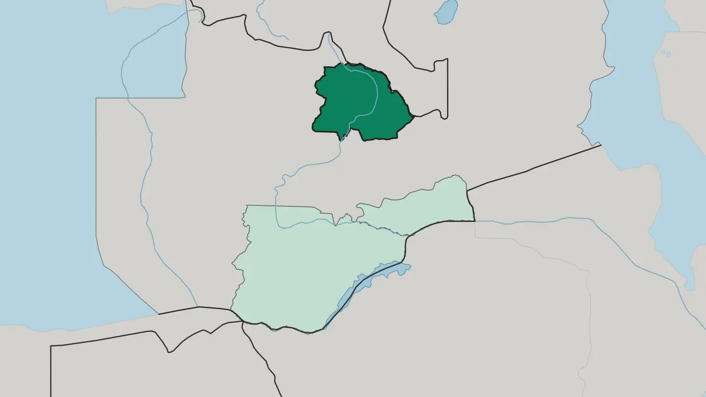 Zambia
Lusaka Province
On Zambia's central plateau, Lusaka Province is the smallest of the country's ten provinces, built around the capital city of Lusaka.Towns & cities →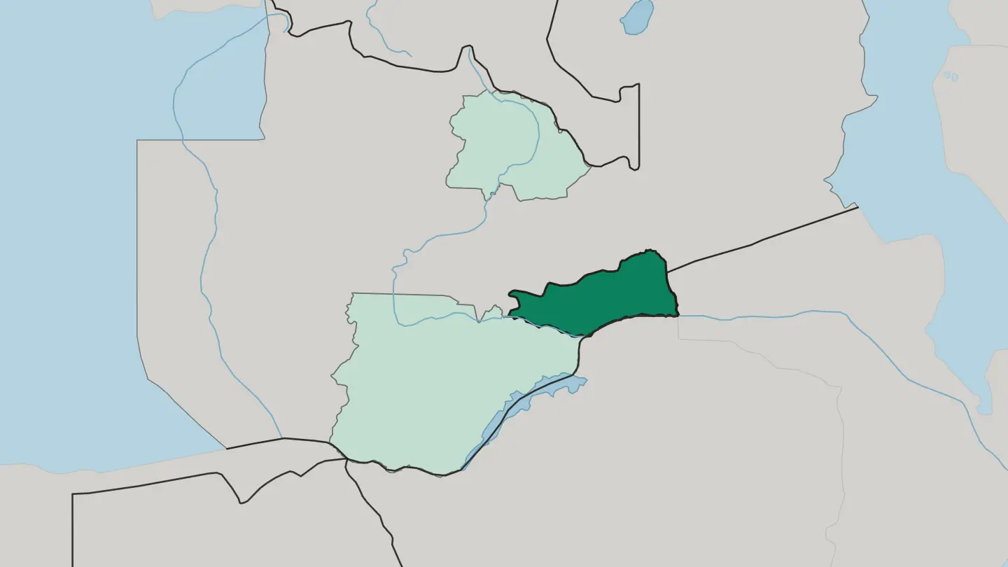 Zambia
Southern Province
Mosi-oa-Tunya anchors Southern Province, one of Zambia's ten provinces, whose Southern Plateau grows most of the national maize crop.Towns & cities →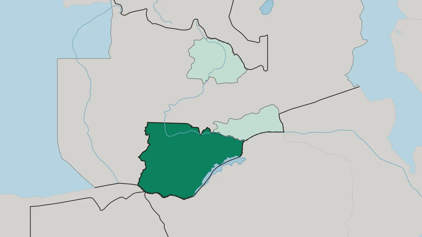
About Zambia
Zambia is safari country.
What is Zambia known for?
The Zambezi plunges over Victoria Falls, known locally as Mosi-oa-Tunya, and the walking safari was invented in the bush of the Luangwa Valley. South Luangwa National Park draws travellers for its leopards, while Kafue National Park spreads across a wilderness larger than Wales. Copper built the cities of the north.
Rivers, wildlife, and mines define the country.
Where is Zambia?
Zambia is a landlocked country in Southern Africa, hemmed by eight neighbours and lifted onto a high plateau that averages roughly a thousand metres above the sea. The country takes its name from the Zambezi River, which rises in the marshy north-west corner near Angola, swings south, and then forms the entire southern border before dropping over Victoria Falls into a mile-wide gorge that feeds Lake Kariba downstream. The plateau does the shaping.
Its broad, gently rolling surface is broken by the deep troughs of the Zambezi's great tributaries, the Kafue and the Luangwa, whose valleys hold the country's richest wildlife and its best-known parks. Water is everywhere in the wet months. In the far west the land flattens into the Barotse floodplain, sandy Kalahari country that vanishes under the flooding Zambezi each year, while the eastern edge climbs toward the Muchinga escarpment.
The Copperbelt sits in the north, a mineral-rich belt of low hills against the border with the Democratic Republic of the Congo. Elsewhere the plateau rolls on in miombo woodland, dry forest that carpets much of the interior. From floodplain to escarpment, the relief is subtle but decisive.
Rivers, not mountains, carve this country.
What is the history of Zambia?
Zambia's story runs through its rivers and its rock. Bantu-speaking peoples moved into the plateau over many centuries, and by the time Europeans arrived several kingdoms held sway, none more organised than the Lozi realm of Barotseland on the upper Zambezi floodplain, ruled by a king called the Litunga. The colonial century changed the map.
From the 1890s the British South Africa Company pushed north under Cecil Rhodes, and the territory was carved into two protectorates that merged in 1911 as Northern Rhodesia. Then copper transformed everything. The discovery of vast ore bodies along the northern border drew miners, railways, and towns, and the Copperbelt became one of the great mining regions of the continent.
Independence came on 24 October 1964, when Northern Rhodesia became the Republic of Zambia under its first president, Kenneth Kaunda, who held office for twenty-seven years. Copper prices climbed, then crashed. The one-party era gave way to multiparty elections at the start of the 1990s, and the country has changed governments peacefully at the ballot box since.
Kaunda's long shadow still marks the nation. The valleys that fed old kingdoms now feed its parks.
What is Zambia like?
Zambia holds more than seventy ethnic groups, and their languages braid together in daily life across the plateau. English carries government and school, but Bemba dominates the Copperbelt and the north, Nyanja the streets of Lusaka, Tonga the south, and Lozi the western floodplains. Food anchors the day.
The staple is nshima, a stiff maize porridge eaten by hand and pressed into a relish of greens, fish from the rivers, or meat, and no gathering feels complete without a shared plate of it. Ceremony carries the deepest tradition. Each year the Lozi stage the Kuomboka, when the rising Zambezi floods the Barotse plain and the Litunga is paddled in a great black-and-white barge from his lowland palace to higher ground, drums beating the whole way.
Music runs modern too, from the guitar-driven kalindula that grew out of Bemba and Tonga rhythms to the gospel choirs that fill Sunday. Copper mining shaped an urban culture in the north unlike the farming villages elsewhere. Football stirs the whole country.
Faith, kin, and language bind it together. The result feels like one nation speaking many tongues at once.
What is the climate of Zambia?
Zambia sits in the tropics, but its high plateau tempers the heat into something mild and comfortable for much of the year. The country runs on three seasons. A warm wet season from November to April brings nearly all the rain and turns the bush green, the cool dry season from May to August delivers bright days and cold nights that can near freezing on the plateau, and a short hot dry season in September and October bakes the valleys before the rains return.
Safari-goers favour the dry months, when thinning water draws animals to the rivers. The seasons run to the water, not the calendar.
How do you get to Zambia?
For Zambia, the plane is the usual way in. Kenneth Kaunda International Airport, northeast of Lusaka, is the main gateway and the hub for onward flights into the parks. Livingstone has its own airport, Harry Mwanga Nkumbula International, for travellers heading straight to Victoria Falls in the south.
From either city, small Proflight planes hop out to bush airstrips like Mfuwe, the door to South Luangwa National Park, since the distances between reserves are long and the roads slow. Overland routes cross from every neighbour. Fly in, then fly on.
Good for
Updated September 2026