Bangladesh · Rajshahi
Where to Stay in Sirajganj, Rajshahi
Sirajganj stands on the right bank of the Jamuna River in Rajshahi Division, a former jute mart and the seat of Sirajganj District.
Hotel links are affiliate links: booking through them may earn us a commission, at no extra cost to you. It never affects how places are ranked. How this works


Where to stay in Sirajganj
Where visitors usually base themselves, and why.
The choice runs between Sirajganj Bazar and the embankment at Sirajganj Hard Point. Sirajganj Bazar is the trading half, laid out around the ground the jute presses once worked, and the Elliott Bridge, the Jamidar Bari, and the Jame Mosque all sit within a walk of it. Errands and offices are all on that side.
Take it for business with the offices of Sirajganj District, or for a night broken on the long run between Dhaka and the north. The other side faces the channel. Sirajganj Hard Point and the China Barrages armour the bank of the Jamuna River, and the embankment they make, Jamuna Eco Park at its near end, is where the evening crowd goes, so a room here trades errand-running convenience for the width of the water.
Inland, Munshi Meherullah Road runs through the older residential grain of the town, between the district headquarters and Sirajganj Government College. It suits a longer and quieter stay. North along the line, Bahirgola keeps the Bahirgola Rail Bridge and a station of the same name, near enough to the railway without putting the market outside the window.
Find hotels in Sirajganj
Direct booking searches for these neighbourhoods.
Sirajganj Bazar
The bazar quarter is the trading half of Sirajganj, built around the ground the jute presses worked, and Elliott Bridge, the Jamidar Bari, and the Jame Mosque all stand within an easy walk of it.Find hotels in Sirajganj BazarEvenings on the Jamuna bank between Sirajganj Hard Point and Jamuna Eco ParkThe embankment at Sirajganj Hard Point
Sirajganj Hard Point and the China Barrages armour this stretch of the Jamuna River and make the promenade the town walks at dusk, with Jamuna Eco Park at its near end.Find hotels in The embankment at Sirajganj Hard PointQuiet nights between the Sirajganj District headquarters and Sirajganj Government CollegeMunshi Meherullah Road
Munshi Meherullah Road carries the older residential grain of Sirajganj and runs between the district headquarters and Sirajganj Government College, away from the bazar traffic.Find hotels in Munshi Meherullah RoadHotel links are affiliate links: booking through them may earn us a commission, at no extra cost to you. It never affects how places are ranked. How this works
About Sirajganj
Jute made this town.
What is Sirajganj known for?
Sirajganj worked as the chief river mart for jute in northern Bengal, with several jute presses lining the bank, until the 1897 Assam earthquake shut the mills and shifted the river away from the wharves. Weaving carries the name now. Handloom cloth from Sirajganj District travels well beyond Bangladesh, and the city's other claim is political: the House of Maulana Bhashani stands among the places it shows visitors.
What are the main landmarks in Sirajganj?
Elliott Bridge is the one everyone names. Beyond it the built list runs to the Bahirgola Rail Bridge, the Jamidar Bari, the Jame Mosque, and the Tomb of Shah Sufi Afzal Mahmud, with the Jugal Kishore Temple, the Kalibari Temple, and the Old Christian Cemetery marking the older communities. Three statues carry the war: Durjoy Bangla Statue, Muktir Songram Statue, and Mujib Dorshon Statue.
Jamuna Eco Park is the green one.
What is the history of Sirajganj?
The name comes from a landholder. Siraj Ali Chowdhury, a zamindar living at Belkuchi under Lord Cornwallis, took a share of the Boro Baju pargana in 1787 and opened a gunj, a market, inside his own estate, and the market took his name. The port came after.
It was raised on the Jamuna River between 1809 and 1830, then moved three times as the current ate its bank, settling at Bhuterdiar, where the built city stands. Sirajganj became a subdivision in 1845, and its criminal cases passed to the sessions judge at Rajshahi the year after. Jute paid for the rest of the century.
Under British rule the town belonged to the Pabna District of Eastern Bengal and Assam, six hours by steamer from the railway terminal at Goalundo, and it served as the chief river mart for jute in northern Bengal and western Mymensingh. Then the ground moved. The 1897 Assam earthquake closed the jute mills and pushed the Brahmaputra farther from the town, and Narayanganj, which had a rail connection, took the trade.
Sirajganj waited until 1915 for the Sara-Sirajganj line. One more date sticks: in 1971, during the Bangladesh Liberation War, the Pakistani brigadier Jehanzeb Arbab looted the bank here.
Where is Sirajganj?
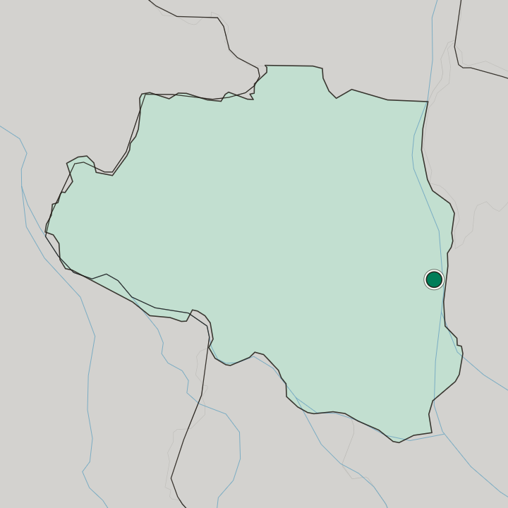
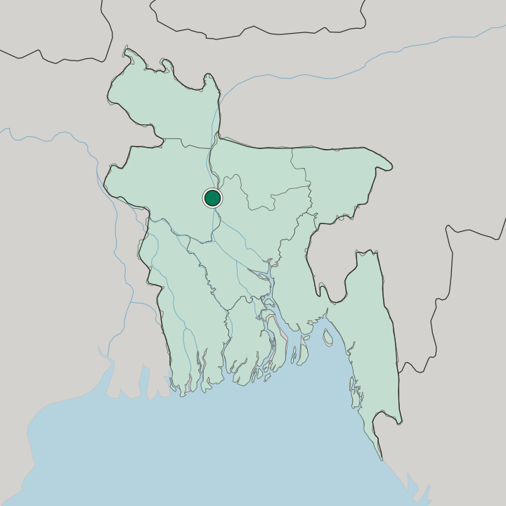
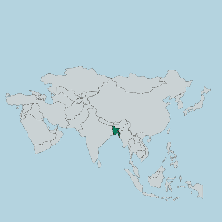
Sirajganj sits on the right bank of the Jamuna River, the main stream of the Brahmaputra, in north-western Bangladesh, about 110 kilometres north-west of Dhaka and inside Rajshahi Division. The channel keeps moving. Belkuchi, downstream, held the port before erosion carried it to Bhuterdiar, the ground the built city stands on, and Sirajganj Sadar Upazila covers that ground while Sirajganj District spreads inland behind the bank.
What is the climate of Sirajganj?
The Jamuna River sets the terms here. Sirajganj lies in the northern subtropics, so heat rather than cold shapes the year, and the pressure that actually gets engineered against is the water: the channel has changed course before and taken the port with it. That is why the Sirajganj Hard Point and the China Barrages exist.
Both hold the bank in place.
How do you get to Sirajganj?
Most arrivals come by road. The national highway N405 passes just south of the city, running east across the Jamuna Bridge to the Joydebpur-Jamalpur Highway at Elenga and west toward the Dhaka-Banglabandha Highway. Two regional roads, the Soydabad-Sirajganj Road and the Nalka-Sirajganj Road, tie the town into it.
Rail came late. An intercity train works the Dhaka route six days a week on the old Sara-Sirajganj line, whose first stops here were Sirajganj Bazar, Sirajganj Ghat, and Bahirgola.
Common questions
What is the best area to stay in Sirajganj?
Sirajganj Bazar: Walking to Elliott Bridge, the Jamidar Bari, and the market streets left by the jute presses. The embankment at Sirajganj Hard Point: Evenings on the Jamuna bank between Sirajganj Hard Point and Jamuna Eco Park. Munshi Meherullah Road: Quiet nights between the Sirajganj District headquarters and Sirajganj Government College.
More cities in Rajshahi
Updated September 2026