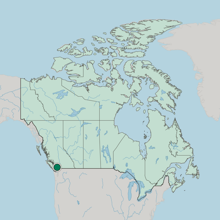
Canada · British Columbia · Burnaby
Brentwood Park, Burnaby — Area Guide & Where to Stay
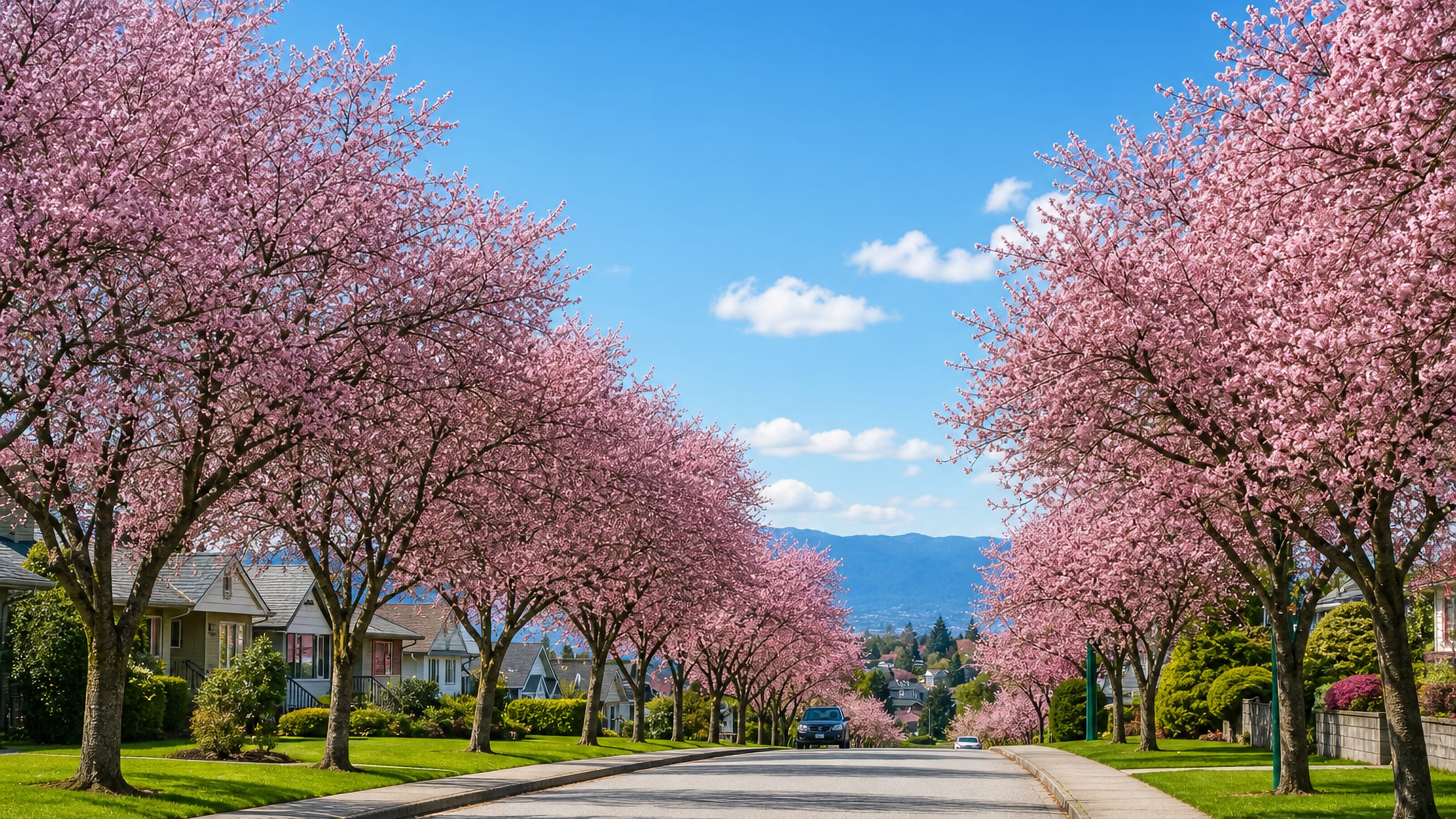
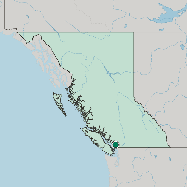
A residential neighbourhood of North Burnaby, British Columbia, Brentwood Park lies between Willingdon Avenue and Springer Avenue.
Hotel links are affiliate links: booking through them may earn us a commission, at no extra cost to you. It never affects how places are ranked. How this works


Map data © OpenStreetMap contributors
Where to stay in Brentwood Park
The practical side of choosing where to sleep.
The question is Lougheed Highway. Brentwood Park itself is residential ground, so the commercial and industrial land that serves a visitor sits on the far side of that highway rather than among the houses between Willingdon Avenue and Springer Avenue. Rooms north of Hastings Street belong to Capitol Hill instead.
Choosing a bed here means choosing North Burnaby, British Columbia, with quiet streets and a drive to anything else, and it suits you if the car matters more than the walk.
Find hotels in Brentwood Park
Direct booking searches for these neighbourhoods.
The Willingdon Avenue side
The Willingdon Avenue edge of Brentwood Park sits nearest the commercial and industrial land that begins south of Lougheed Highway. Beds are limited here, so book early.Find hotels in The Willingdon Avenue sideSplitting a stay between Brentwood Park and Capitol HillThe Hastings Street edge
Hastings Street is the line to Capitol Hill, so a room along it reaches both North Burnaby neighbourhoods without a car. Lodging is scarce in this area; reserve in advance.Find hotels in The Hastings Street edgeHotel links are affiliate links: booking through them may earn us a commission, at no extra cost to you. It never affects how places are ranked. How this works
About Brentwood Park
What are the main landmarks in Brentwood Park?
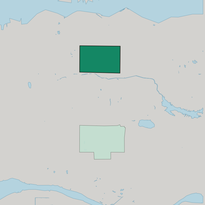
Nothing here is a monument. The named features of Brentwood Park are its own boundaries: Willingdon Avenue on the west, Springer Avenue on the east, Hastings Street closing the top and Lougheed Highway cutting the bottom away from the houses. Hastings Street doubles as the approach to Capitol Hill.
South of Lougheed Highway the land turns commercial and industrial, and that boundary rather than any building is what marks the southern limit of the residential grid.
What is the history of Brentwood Park?
This Burnaby neighbourhood answers to two names. Brentwood Park is also known simply as Brentwood, and the two names cover the same residential ground in North Burnaby, British Columbia. Its shape was drawn by roads.
Willingdon Avenue and Springer Avenue fixed the western and eastern limits, Hastings Street cut it off from Capitol Hill, and Lougheed Highway separated the houses from the commercial and industrial land below.
Where is Brentwood Park?
Four streets box Brentwood Park in. Hastings Street runs along the north, Lougheed Highway along the south, with Willingdon Avenue west and Springer Avenue east.
Common questions
What is the best area to stay in Brentwood Park?
The Willingdon Avenue side: Drivers who want the Lougheed Highway link close. The Hastings Street edge: Splitting a stay between Brentwood Park and Capitol Hill.
More areas in Burnaby
Updated September 2026