Democratic Republic of the Congo · Ituri
Where to Stay in Bunia, Ituri
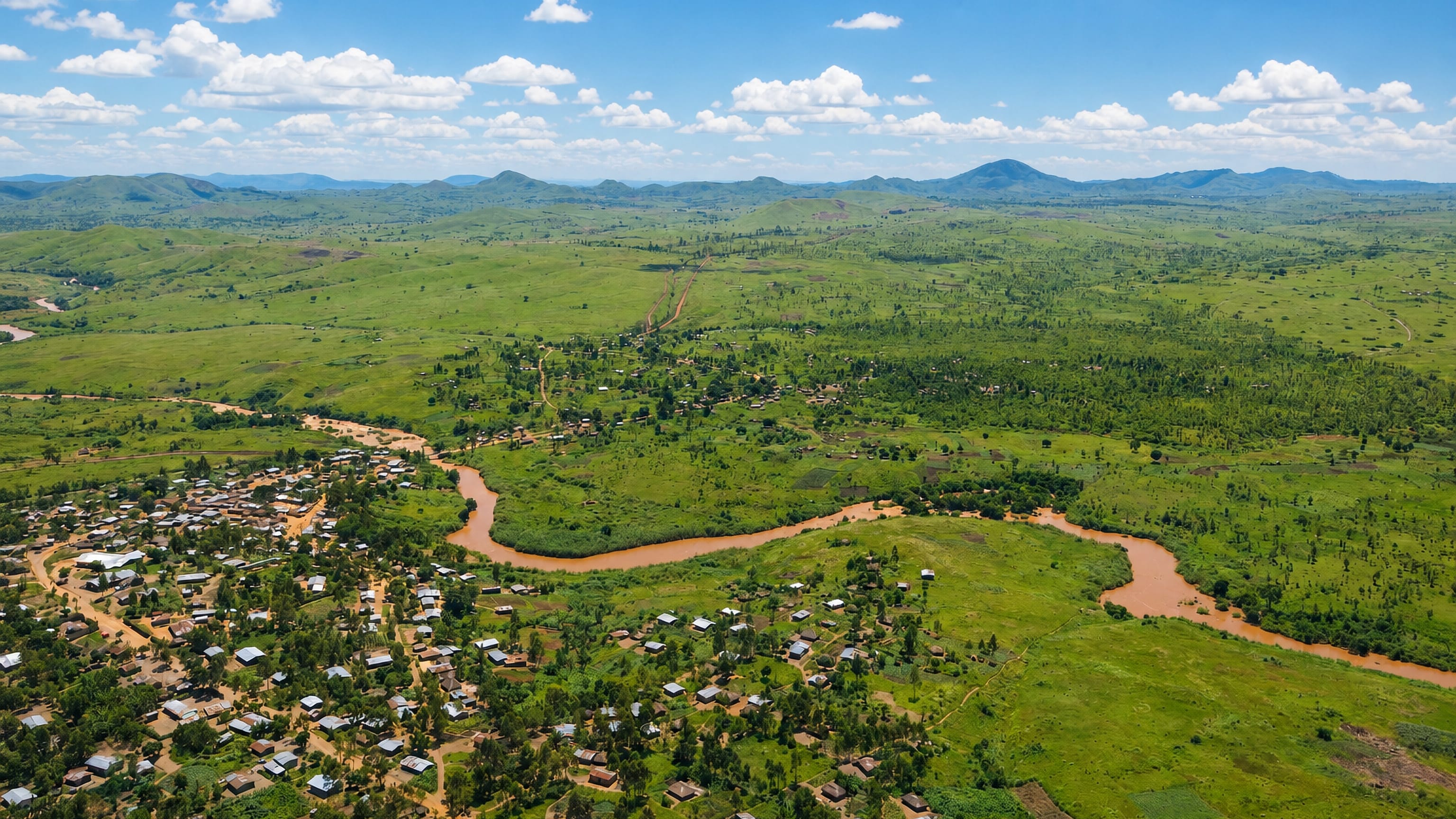
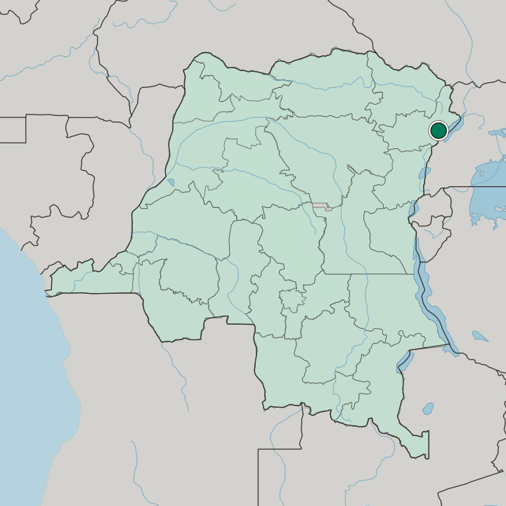
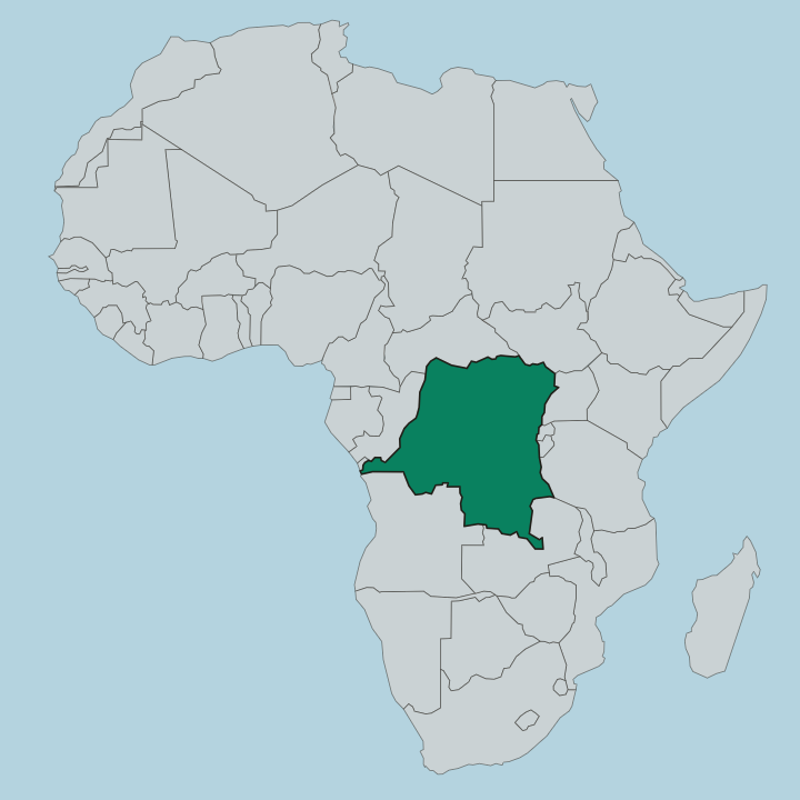
Bunia is the capital of Ituri Province in north-eastern DR Congo, on a plateau between the Ituri Rainforest and Lake Albert.
Hotel links are affiliate links: booking through them may earn us a commission, at no extra cost to you. It never affects how places are ranked. How this works


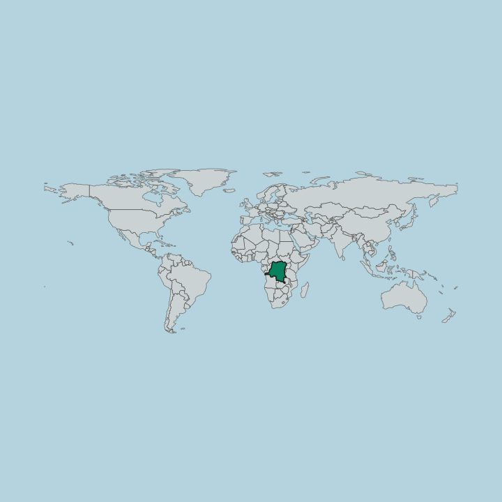
Where to stay in Bunia
Where the beds are, and what that means for the visit.
Quartier Lumumba holds nearly all of Bunia's beds. Boulevard de la Libération and Avenue Kasavubu run through it, the market beside the MONUSCO base anchors it, and the guesthouses that serve visiting officials and traders sit within a few streets of both. Three urban communes divide the city, and 25 quarters divide those, but the lodging map is far narrower than the administrative one. Ituri Province business is what fills the rooms.
You want Quartier Lumumba if meetings at the provincial offices or with the United Nations mission are the reason for the trip. Rain decides the calendar more than heat does. The wet stretch runs from March into September, the drier months are December through February, and even those average heavy rainfall, so a room that stays dry and a vehicle that can handle mud both matter more than a view.
Arrive by air. Bunia Airport carries the traffic that the dirt highways from Kisangani, Butembo, and Goma cannot, and a bed within reach of the terminal road saves the one journey every stay involves. For dinner the Okapi Hotel is counted among the better addresses for Ituri cooking, including fish from Lake Albert.
Find hotels in Bunia
Direct booking searches for these neighbourhoods.
Quartier Lumumba
Bunia's guesthouses gather along Boulevard de la Libération and Avenue Kasavubu inside Quartier Lumumba, beside the market that faces the MONUSCO base, which puts the provincial offices and the mission compound within the same handful of streets. Rooms are few around here — worth securing early.Find hotels in Quartier LumumbaShort official trips that begin and end at Bunia AirportThe Bunia Airport road
With the dirt highways to Kisangani, Butembo, and Goma near-impassable after rain, Bunia Airport carries most arrivals, so a bed on its access road removes the one journey a stay in Bunia cannot avoid. Few places to stay nearby — book ahead.Find hotels in The Bunia Airport roadHotel links are affiliate links: booking through them may earn us a commission, at no extra cost to you. It never affects how places are ranked. How this works
About Bunia
Gold and government both run through Bunia.
What is Bunia known for?
The city administers Ituri Province, and the surrounding country holds gold mines that militias and foreign forces have fought over. It carries a second role. Bunia is the base of one of the largest United Nations peace-keeping forces in Africa, and its headquarters in the far north-east of the country, a presence that follows from the Ituri conflict between the Lendu and the Hema.
Before the war closed the border routes, the city ranked as an important market for trade with Uganda.
What are the main landmarks in Bunia?
Mount Hoyo rises 35 kilometres south-west of the city, the nearest named summit. The Shari River runs along Bunia's north-western outskirts, and its confluence with the Ituri River lies some 45 kilometres south-south-west, in the country between the plateau and the rainforest. Learning marks the city too.
The University of Bunia, known as UNIBU, is the largest of several universities here, and it is the institution most often named alongside the provincial capital itself.
What is the history of Bunia?
The record starts in 1946. Bunia belonged to Orientale Province until that province was dissolved, and the city has held the capital seat of the smaller Ituri Province since. Its trade ran east.
The dirt highway north-east to Arua and Gulu was the chief route between the Democratic Republic of the Congo and Uganda, and it carried traffic on to Juba in South Sudan, which made Bunia an important market for cross-border business. Barely 40 kilometres separate the city from the Ugandan border down Lake Albert, so much of this history is border history. War undid that.
Bunia and its district saw heavy fighting in the Second Congo War, with many civilian deaths in the Ituri conflict between the Lendu and the Hema and in related clashes between militias and Uganda-based forces. The gold mines of the surrounding country were part of what the armed groups fought over. One consequence still shapes the city.
Bunia became the base of one of the largest United Nations peace-keeping deployments in Africa, and that presence was why a BBC television travel documentary, Equator, could film here in 2006, when few places near the line in this part of the country could be made safe for a crew.
Where is Bunia?
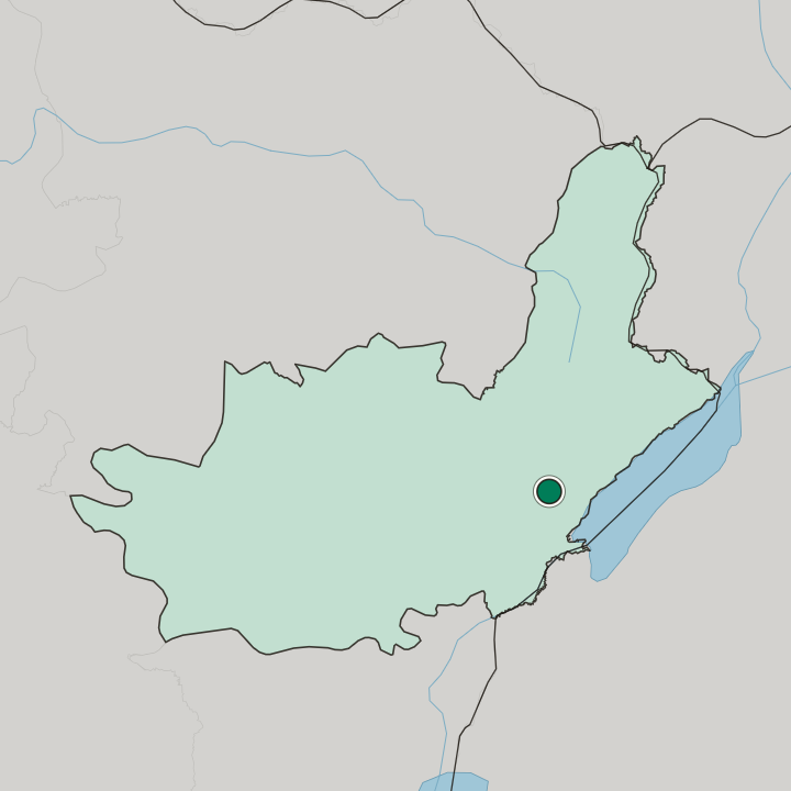
Bunia occupies a plateau in the Albertine Rift. Lake Albert lies about 30 kilometres east, the Ituri Rainforest about 25 kilometres west, and the Ituri River runs past on that same western side before its confluence with the Shari River. The equator lies about 170 kilometres south.
Eastward the ground falls away: the western escarpment of the Great Rift Valley drops some 600 metres on the track down to Kasenyi, the small port on Lake Albert. Mount Hoyo stands south-west.
What is the climate of Bunia?
Rain sets the year, not temperature. Köppen Af is the class, tropical rainforest, and warm humid conditions hold in every month. December through February is the lull, and even those months average over 130 millimetres.
Nine months of the year pass 230 millimetres, and that volume is what leaves the dirt highways around Bunia impassable after the frequent rains, which is the single fact that most shapes travel in Ituri Province.
How do you get to Bunia?
Bunia Airport does the heavy lifting. The dirt highways to Kisangani in the west and to Butembo and Goma in the south pass through the city, but disrepair and frequent rain leave them near-impassable, and there is no railway. No road crosses the Great Rift Valley to Toro or Fort Portal, so the Ugandan traffic goes north-east instead, on the dirt highway to Arua and Gulu.
Boats are the other option. A 60-kilometre dirt track runs to Kasenyi via Bogoro, where a jetty connects with Mahagi-Port, Butiaba, Ntoroko, and Pakwach on the Albert Nile.
Common questions
What is the best area to stay in Bunia?
Quartier Lumumba: Stays a few streets from Boulevard de la Libération and the market facing the MONUSCO base. The Bunia Airport road: Short official trips that begin and end at Bunia Airport.
Updated September 2026