Democratic Republic of the Congo: Regions, Cities & Travel Guide
The Democratic Republic of the Congo spreads across the Congo Basin in Central Africa, a vast rainforest country with its capital at Kinshasa.
Hotel links are affiliate links: booking through them may earn us a commission, at no extra cost to you. It never affects how places are ranked. How this works


Top destinations in Democratic Republic of the Congo
Cities to start from, then drill into areas and hotels.
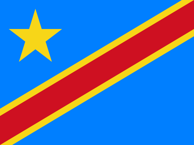 Democratic Republic of the Congo
Kinshasa
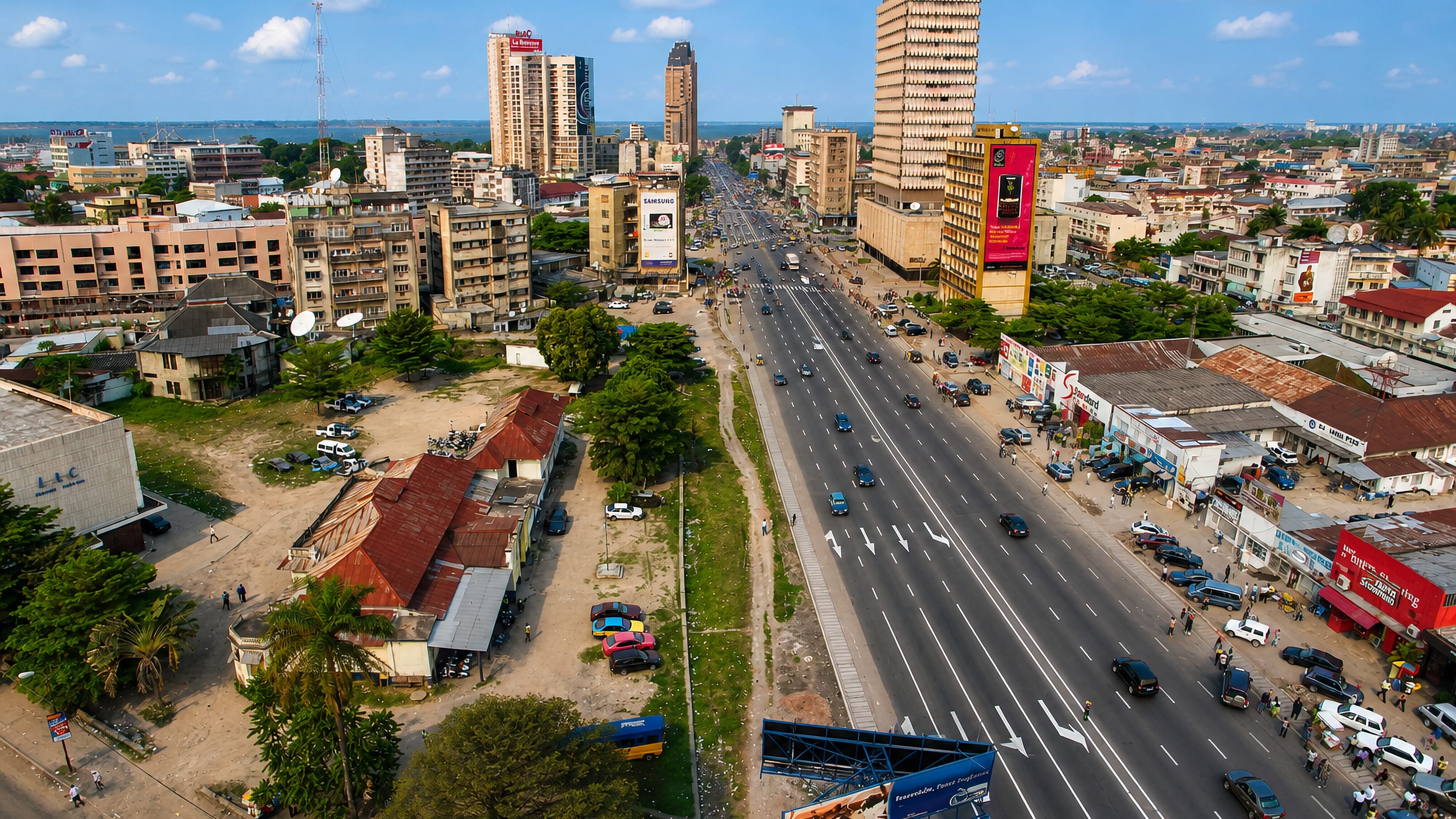
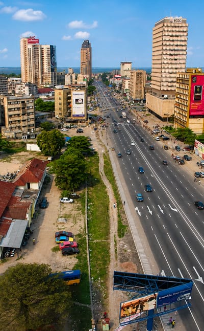
Kinshasa spreads along the south bank of the Congo River in the Democratic Republic of the Congo, the capital facing Brazzaville across the water.Where to stay →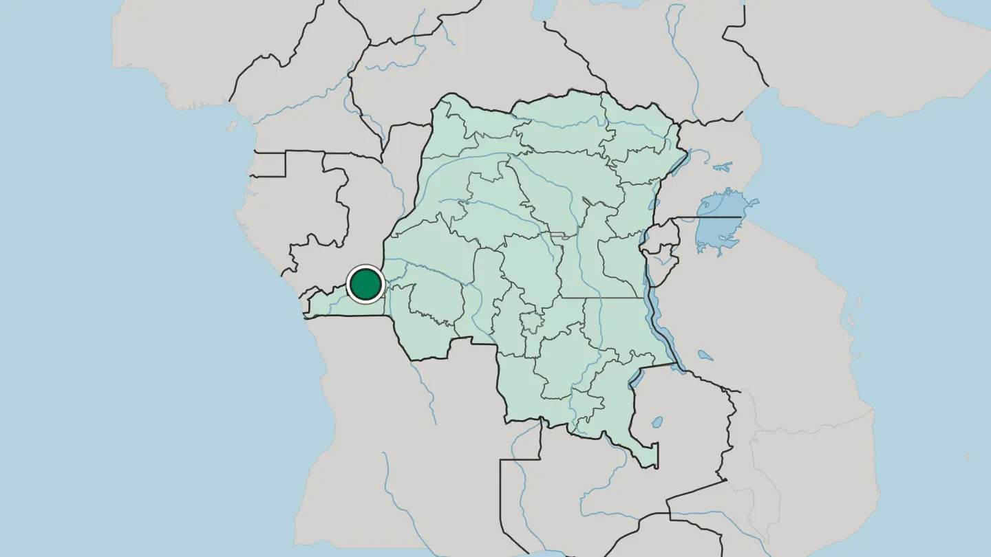
 Democratic Republic of the Congo
Lubumbashi
Lubumbashi is the second city of the Democratic Republic of the Congo, the capital of Katanga in the far south, a copper-mining city on the high plateau.Where to stay →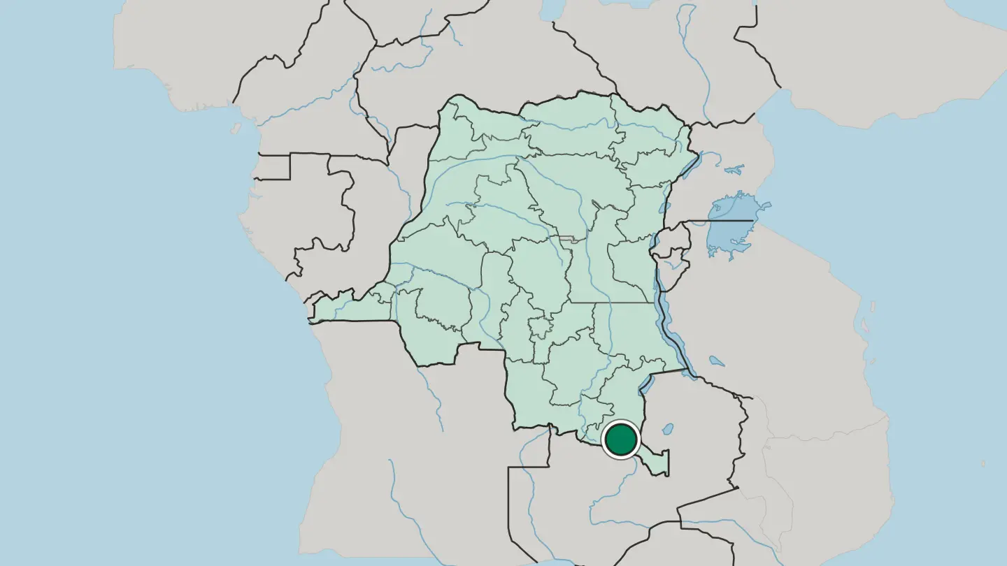
 Democratic Republic of the Congo
Goma
Goma holds the northern shore of Lake Kivu inside the Albertine Rift, with the active volcano Mount Nyiragongo rising close beyond the city.Where to stay →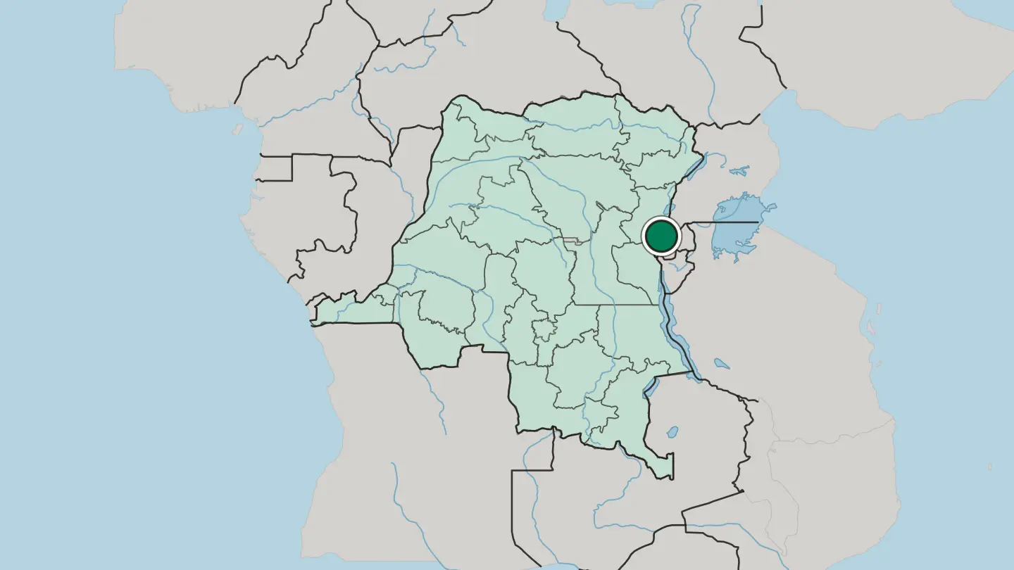
 Democratic Republic of the Congo
Kisangani
Kisangani is a city of the northeast Democratic Republic of the Congo on the Congo River, a river port deep in rainforest, at the foot of the Boyoma Falls.Where to stay →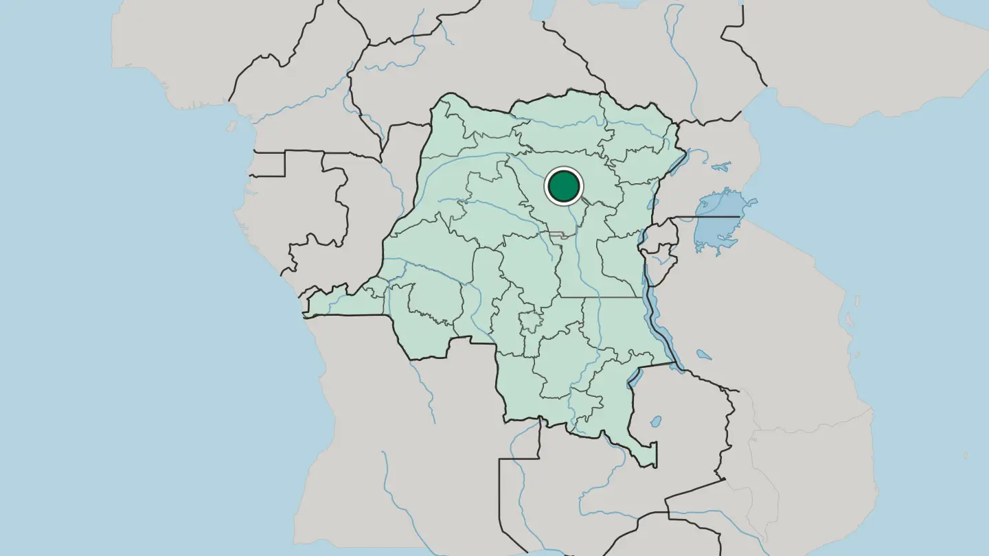
 Democratic Republic of the Congo
Bukavu
Bukavu stands at the south-western tip of Lake Kivu, where the Ruzizi River leaves the lake and the frontier with Rwanda runs.Where to stay →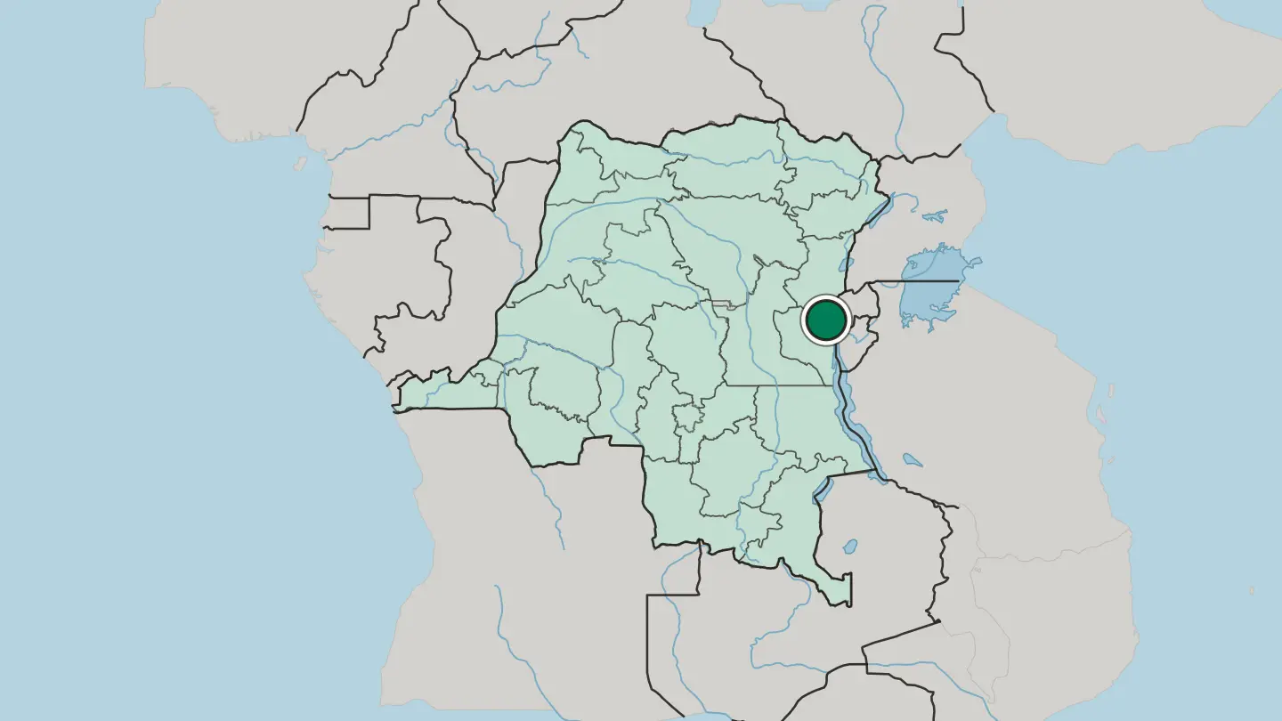
 Democratic Republic of the Congo
Matadi
Matadi is the chief sea port of the Democratic Republic of the Congo, on the left bank of the Congo River in Kongo Central province.Where to stay →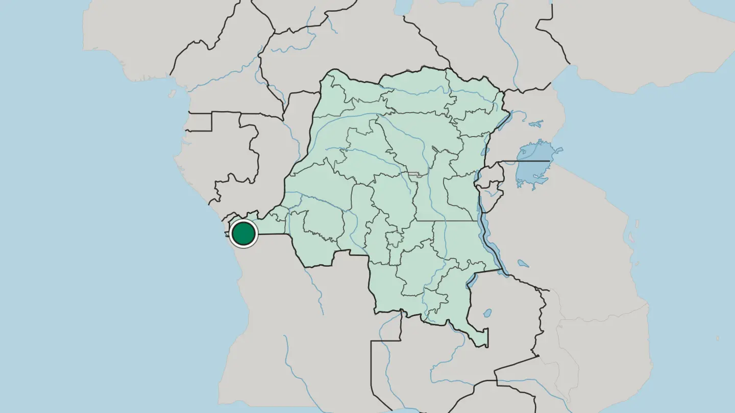 Democratic Republic of the Congo
Boma
Boma is a port town on the Congo River, some 100 kilometres up from the Atlantic Ocean, in Kongo Central Province beside the border with Angola.Where to stay →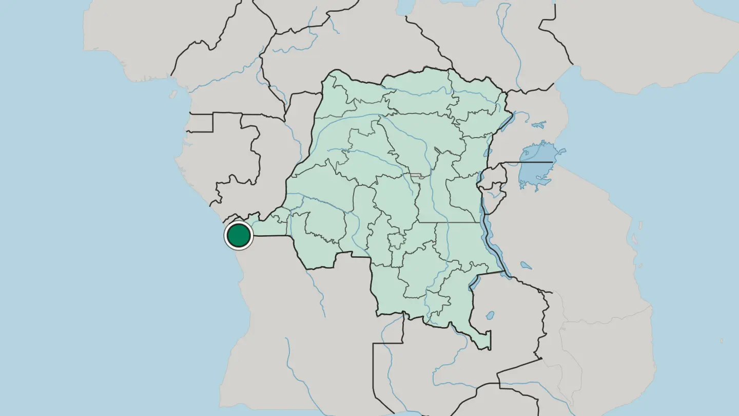 Democratic Republic of the Congo
Mbuji-Mayi
Mbuji-Mayi is the capital of Kasai-Oriental Province, a wide inland city reckoned the second largest in the Democratic Republic of the Congo.Where to stay → Democratic Republic of the Congo
Kolwezi
Kolwezi is the capital of Lualaba Province, a railway city west of Likasi with an airport of its own and the Inga-Shaba inverter plant on its edge.Where to stay →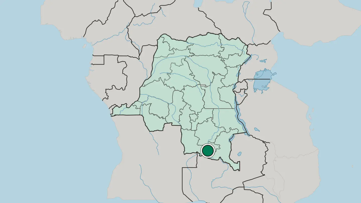
Hotel links are affiliate links: booking through them may earn us a commission, at no extra cost to you. It never affects how places are ranked. How this works
Regions of Democratic Republic of the Congo
Democratic Republic of the Congo
Bas Uele
Bas-Uélé is a forest-and-savanna province in the far north of the Democratic Republic of the Congo, named for the Uélé River that drains it.Towns & cities →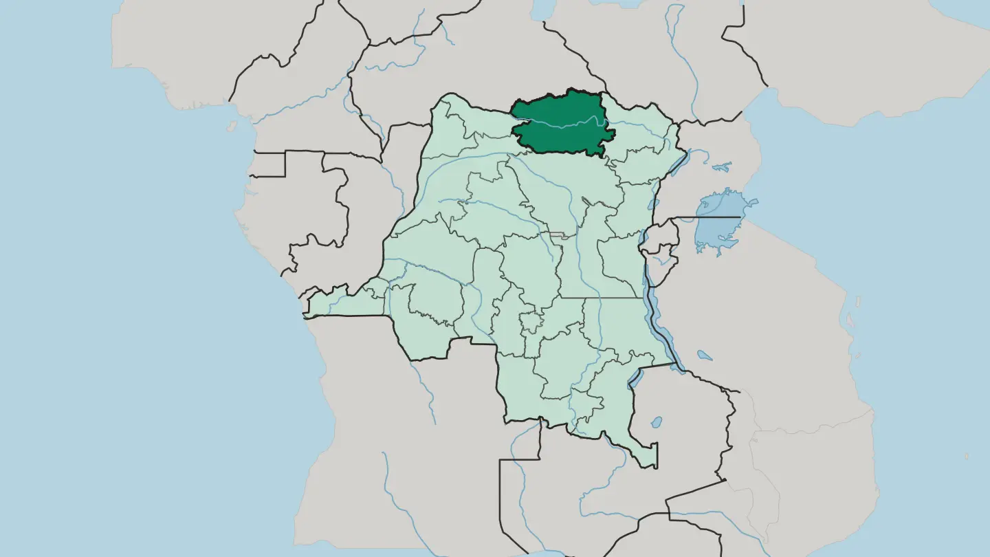 Democratic Republic of the Congo
East Kasai
East Kasai is a diamond-rich province in south-central Democratic Republic of the Congo, centred on the mining city of Mbuji-Mayi.Towns & cities →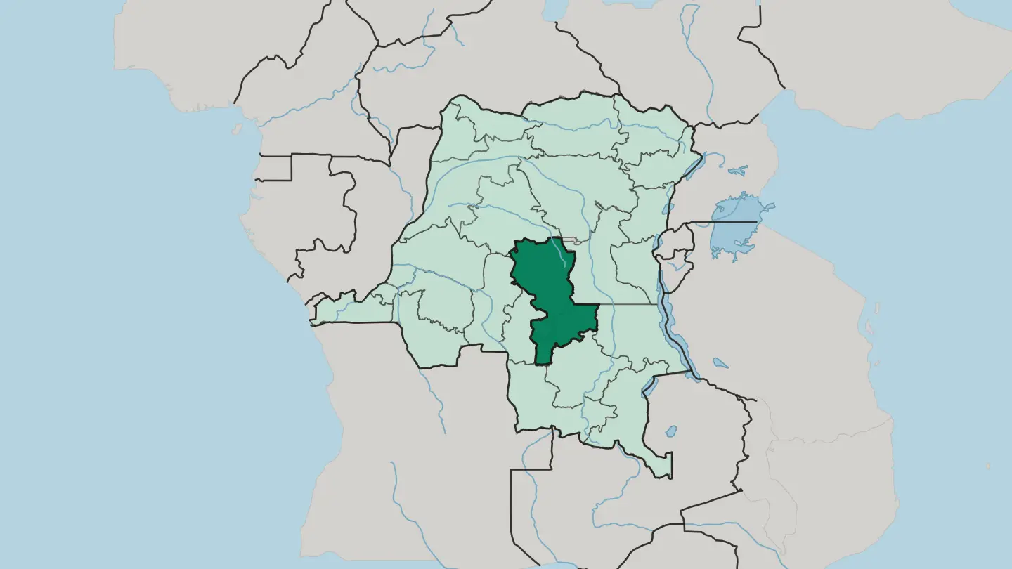 Democratic Republic of the Congo
Haut Uele
Haut-Uélé is the far north-eastern province of the Democratic Republic of the Congo, named for the Uele River and holding Garamba's savanna.Towns & cities →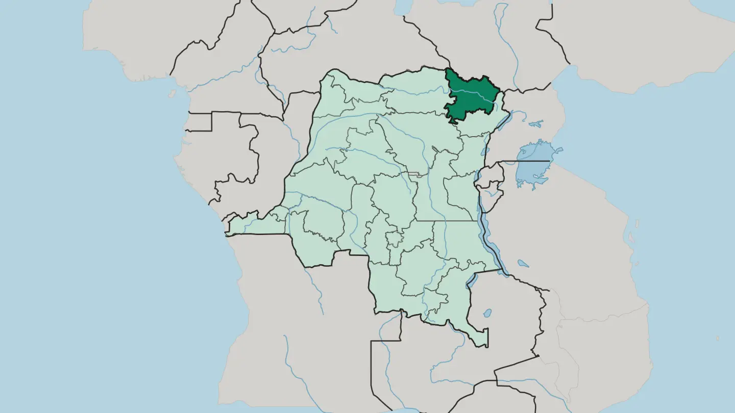 Democratic Republic of the Congo
Haut-Lomani
Haut-Lomani is a savanna region of southeastern Democratic Republic of the Congo, cut by the Lomami River and centred on Kamina.Towns & cities →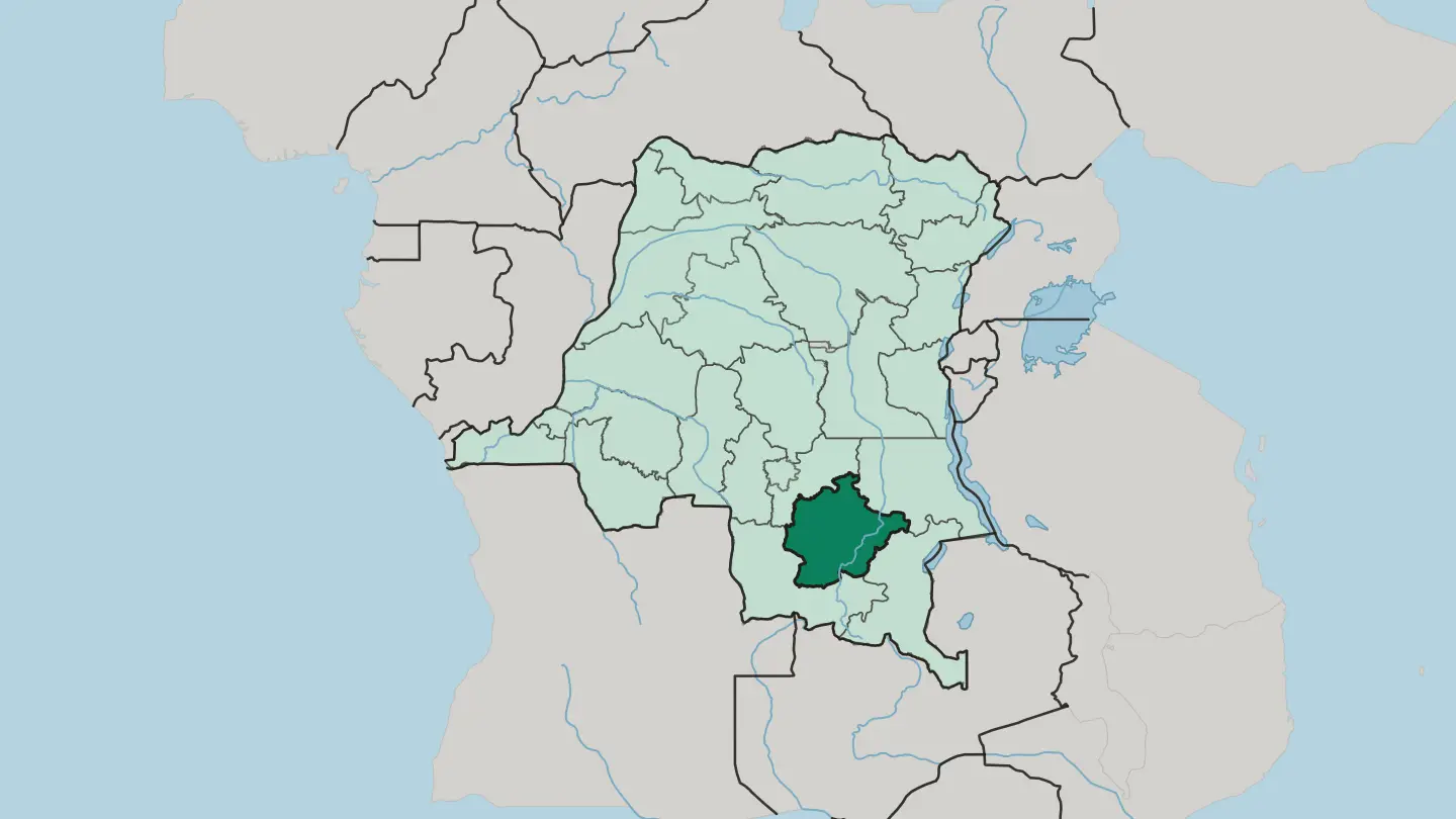
 Democratic Republic of the Congo
Ituri
Ituri is the far north-eastern corner of the Democratic Republic of the Congo, holding rainforest, the Blue Mountains and the shore of Lake Albert.Towns & cities →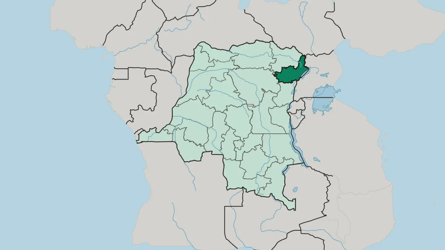 Democratic Republic of the Congo
Kasai Province
Kasaï Province is a diamond-rich region of the Democratic Republic of the Congo, built around Tshikapa and the Kasai River.Towns & cities →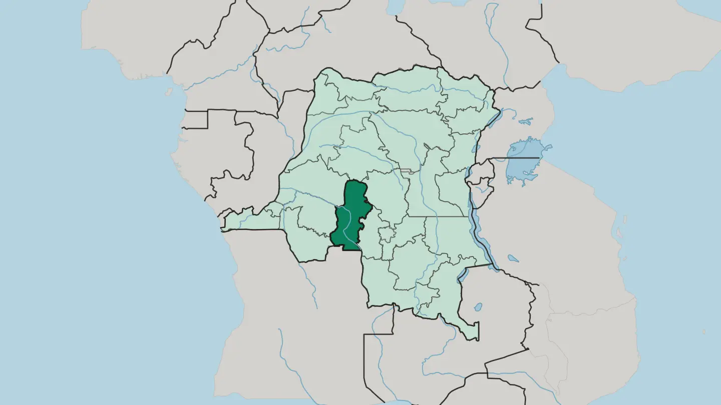
 Democratic Republic of the Congo
Kasaï-Central
Kasaï-Central is a province of the Democratic Republic of the Congo, centred on Kananga on the Lulua River.Towns & cities →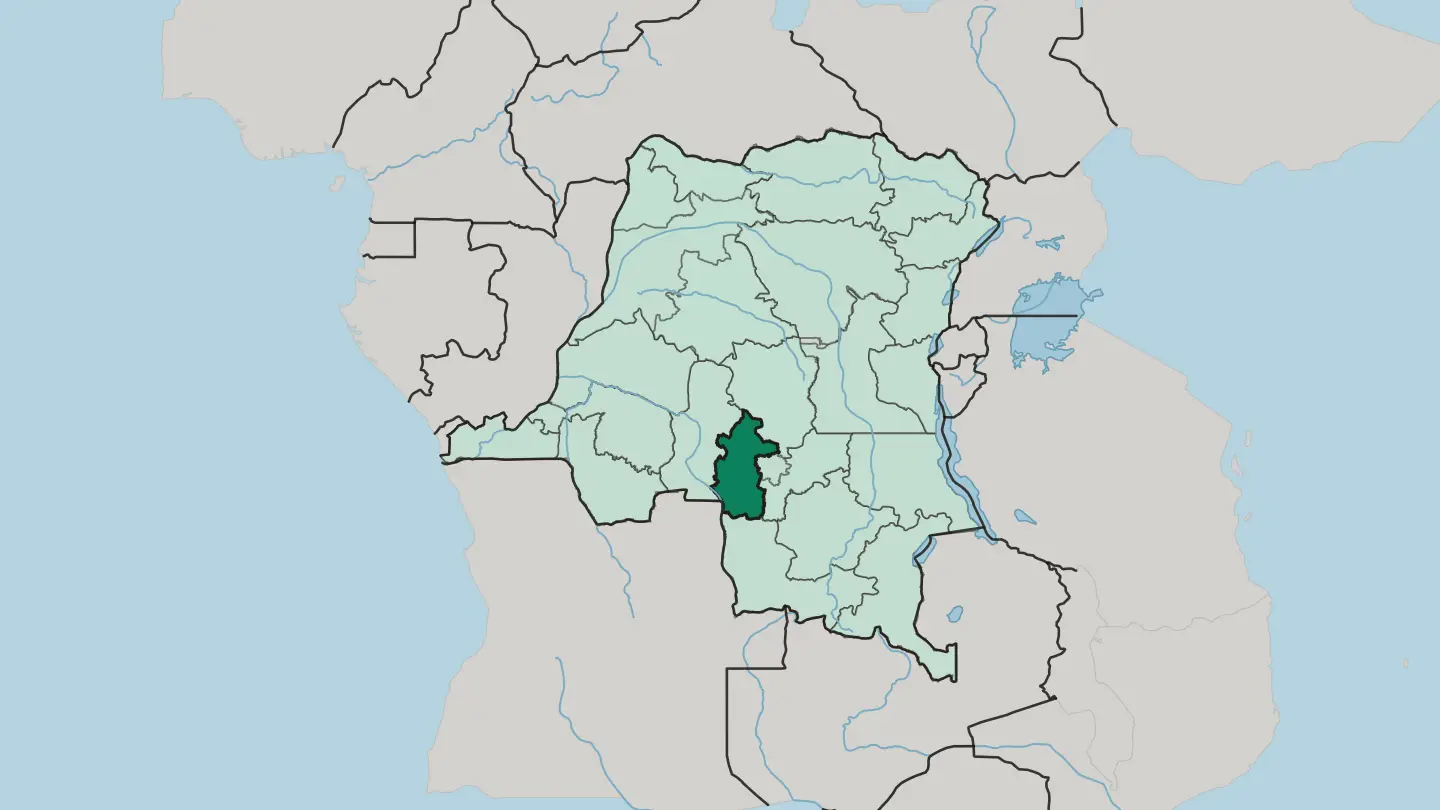 Democratic Republic of the Congo
Kinshasa City
Kinshasa City is a commune in the Lukunga District of Kinshasa, in the Democratic Republic of the Congo, bordering Gombe and Kinshasa Zoological Garden.Towns & cities →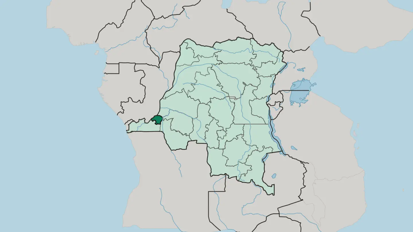 Democratic Republic of the Congo
Kwango
Kwango is a savanna province of the Democratic Republic of the Congo, named for the river that marks its border with Angola.Towns & cities →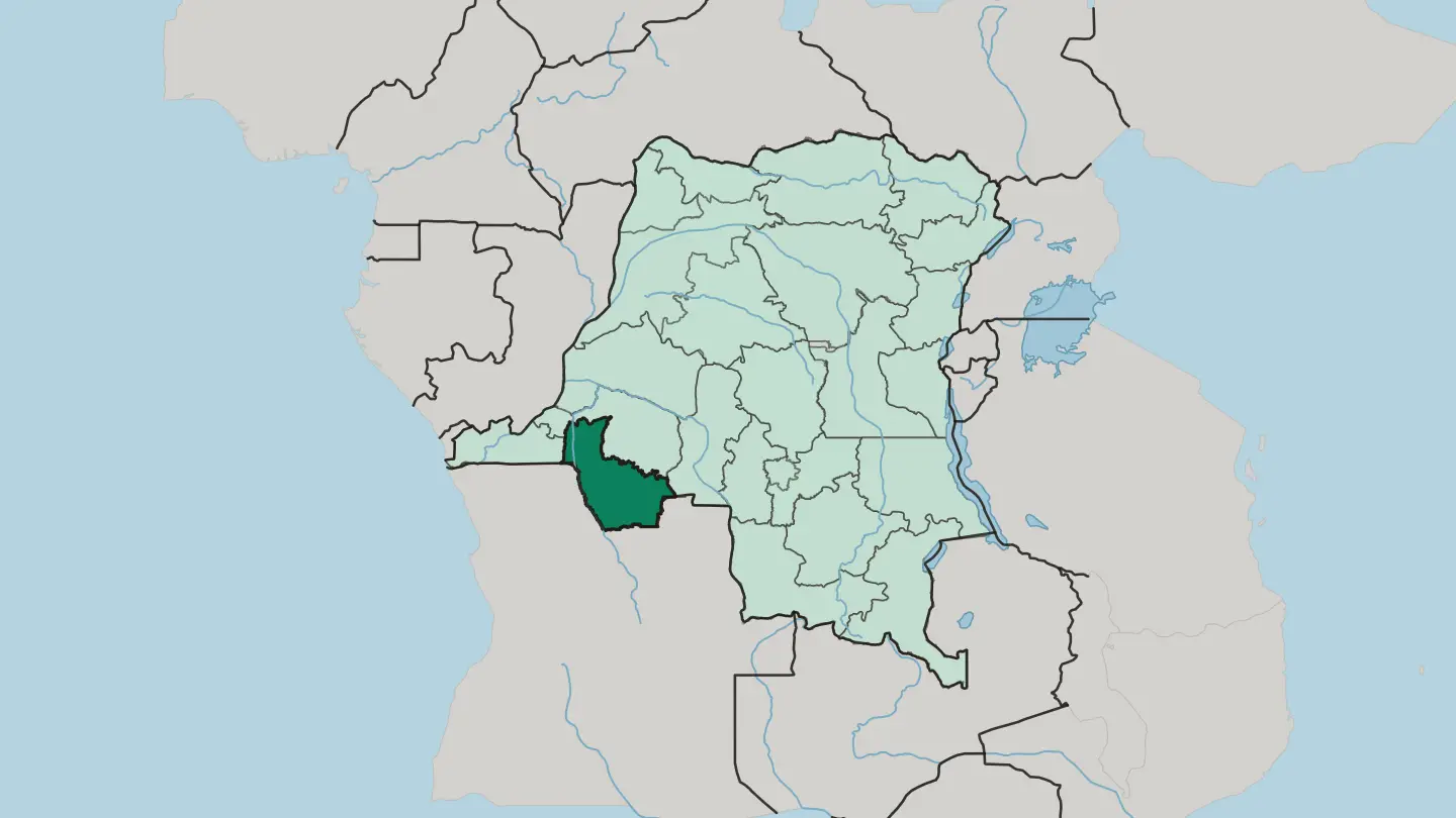 Democratic Republic of the Congo
Kwilu
Kwilu is a province of western Democratic Republic of the Congo, named for the river that crosses it and centred on the palm-oil city of Kikwit.Towns & cities →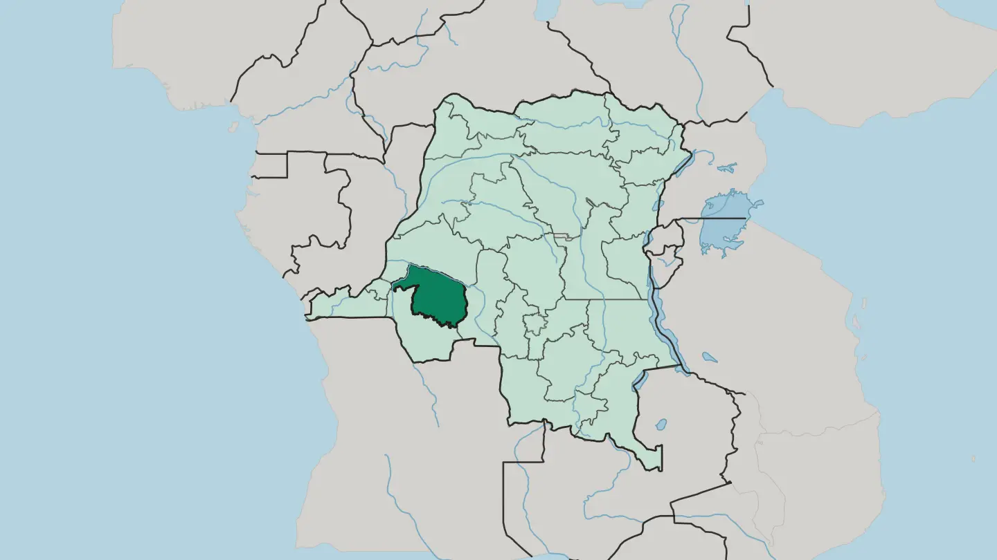 Democratic Republic of the Congo
Lomami
Lomami is a young province in the south-centre of the Democratic Republic of the Congo, named for the river that crosses it.Towns & cities →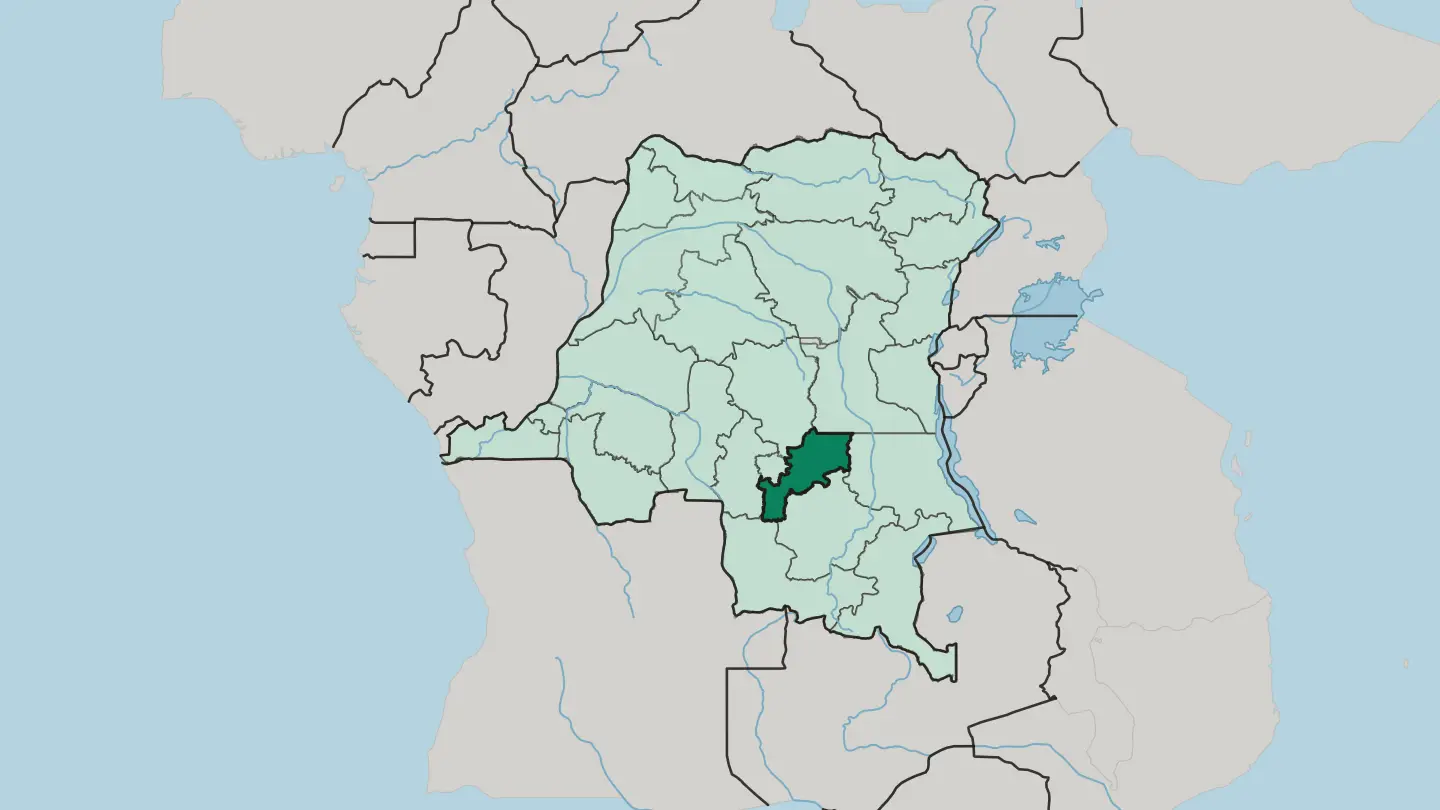 Democratic Republic of the Congo
Lualaba
Lualaba is the copper-and-cobalt province of southern Democratic Republic of the Congo, named for the river that becomes the Congo.Towns & cities →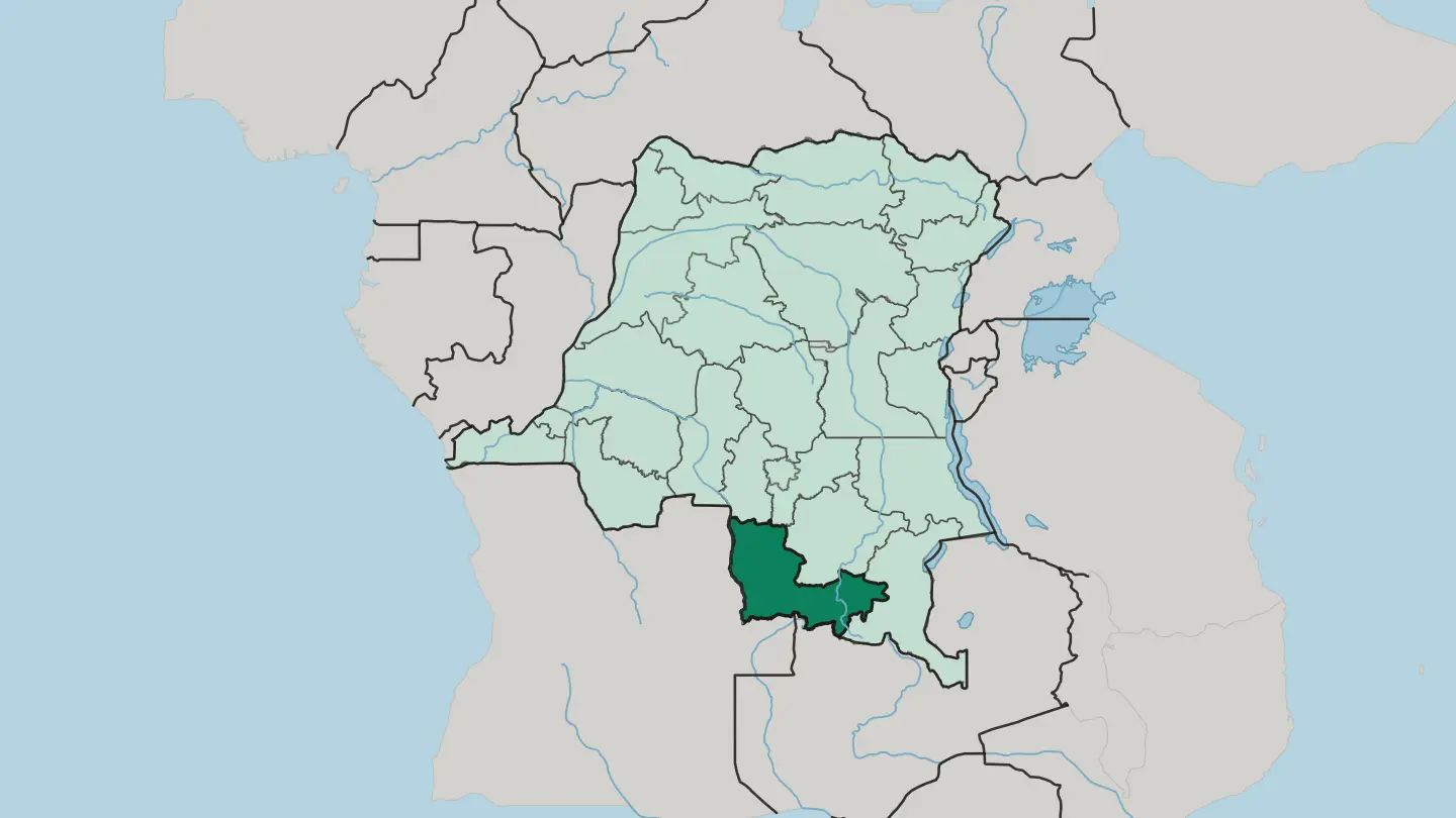 Democratic Republic of the Congo
Mai Ndombe
Mai Ndombe wraps a vast blackwater lake and Congo Basin swamp forest in western Democratic Republic of the Congo.Towns & cities →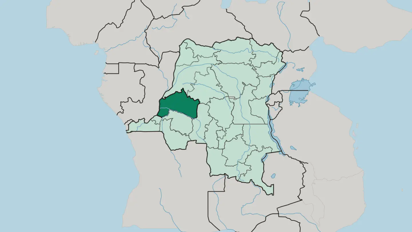 Democratic Republic of the Congo
Mongala
Mongala is a rainforest province of northwestern DR Congo, where the Congo River draws the southern edge and Lisala sits above the water.Towns & cities →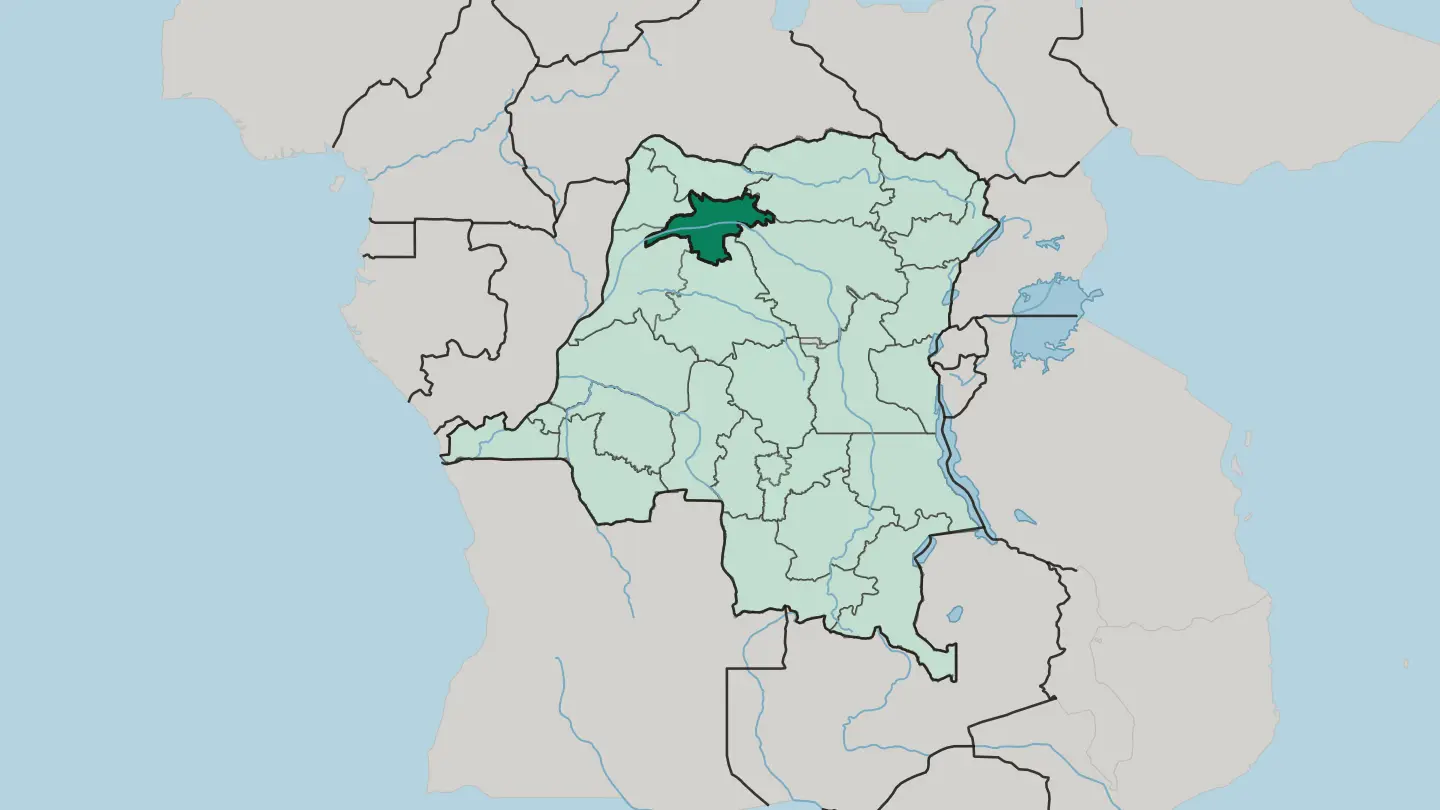 Democratic Republic of the Congo
Province de l’Équateur
Province de l'Équateur is a rainforest region of the Democratic Republic of the Congo, straddling the Equator on the Congo River.Towns & cities →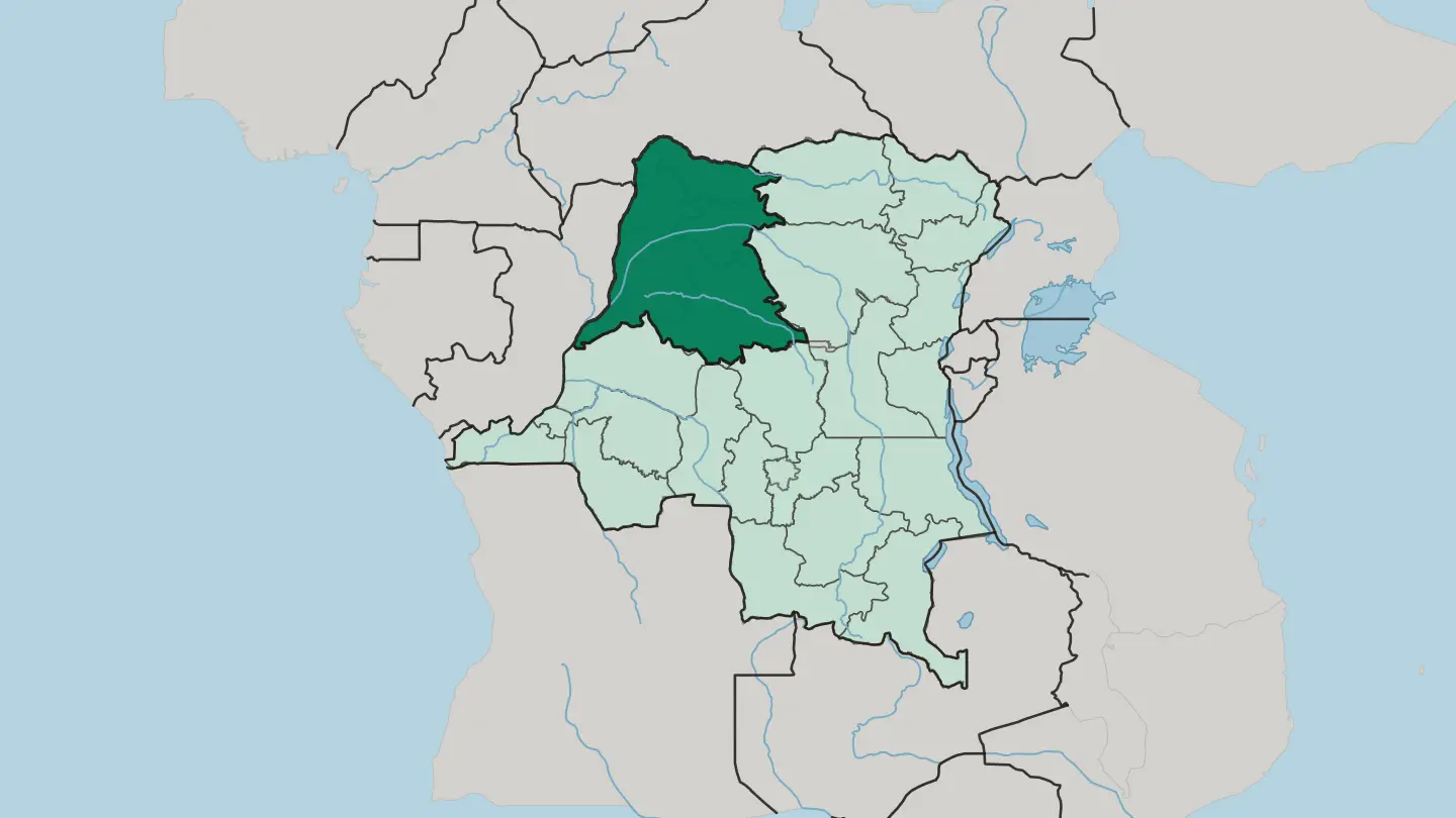 Democratic Republic of the Congo
Province du Haut-Katanga
Haut-Katanga is the southernmost province of the Democratic Republic of the Congo, the copper-and-cobalt heartland centred on Lubumbashi.Towns & cities →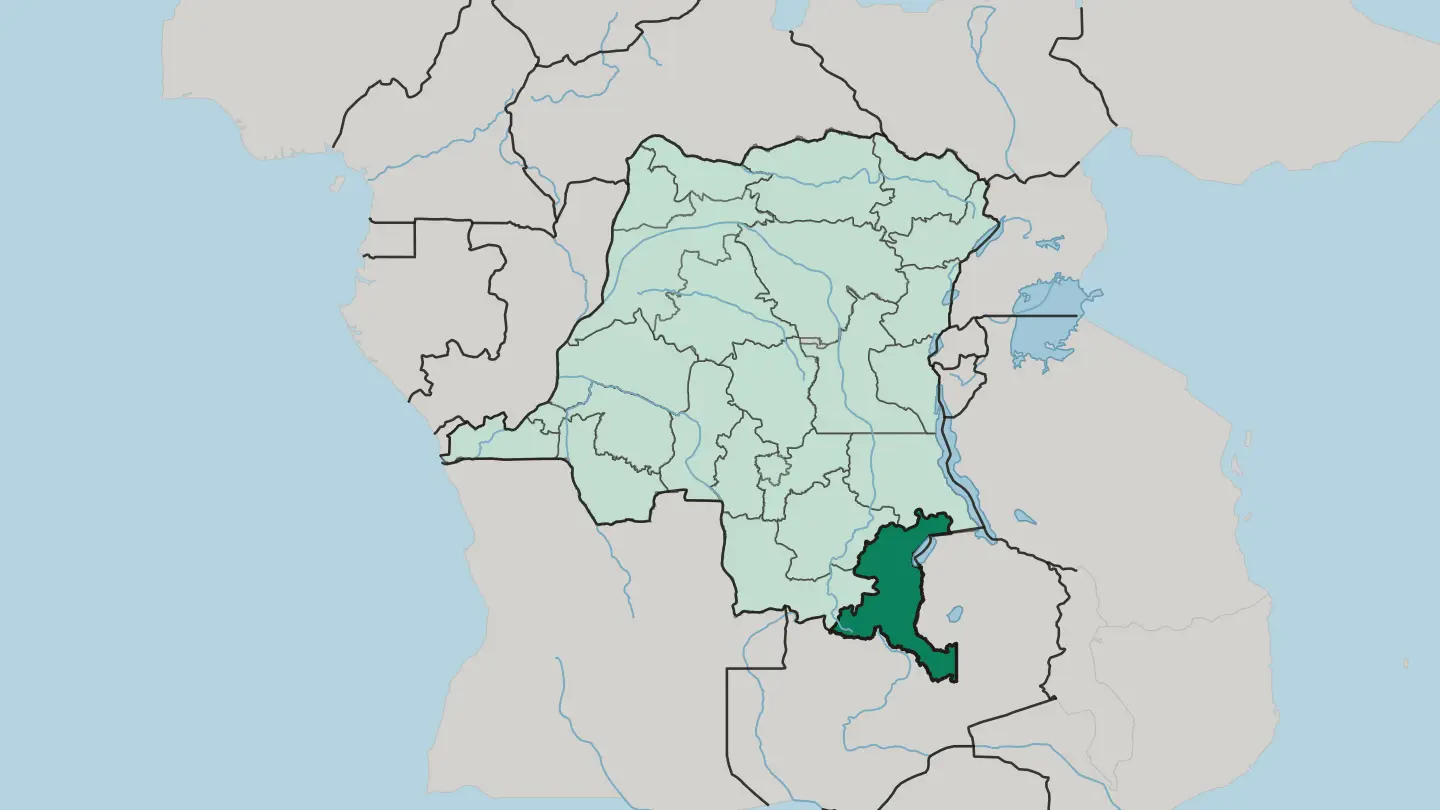 Democratic Republic of the Congo
Province du Kongo Central
Kongo Central is the only province of the Democratic Republic of the Congo that reaches the Atlantic, along the lower Congo River.Towns & cities →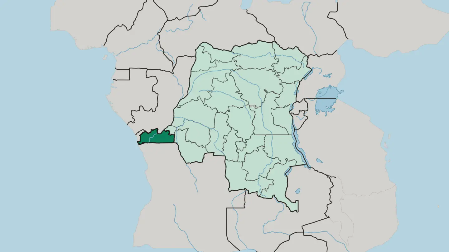 Democratic Republic of the Congo
Province du Maniema
Maniema is a forested province of eastern Democratic Republic of the Congo, where the Lualaba River carries the young Congo north through Kindu.Towns & cities →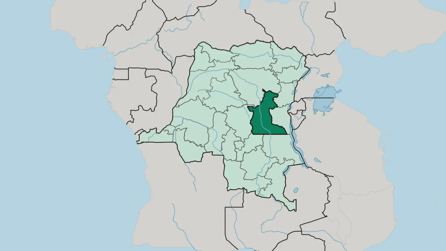 Democratic Republic of the Congo
Province du Nord-Kivu
Province du Nord-Kivu wraps the Congolese shore of Lake Kivu, from Goma up to the volcanoes of Virunga.Towns & cities →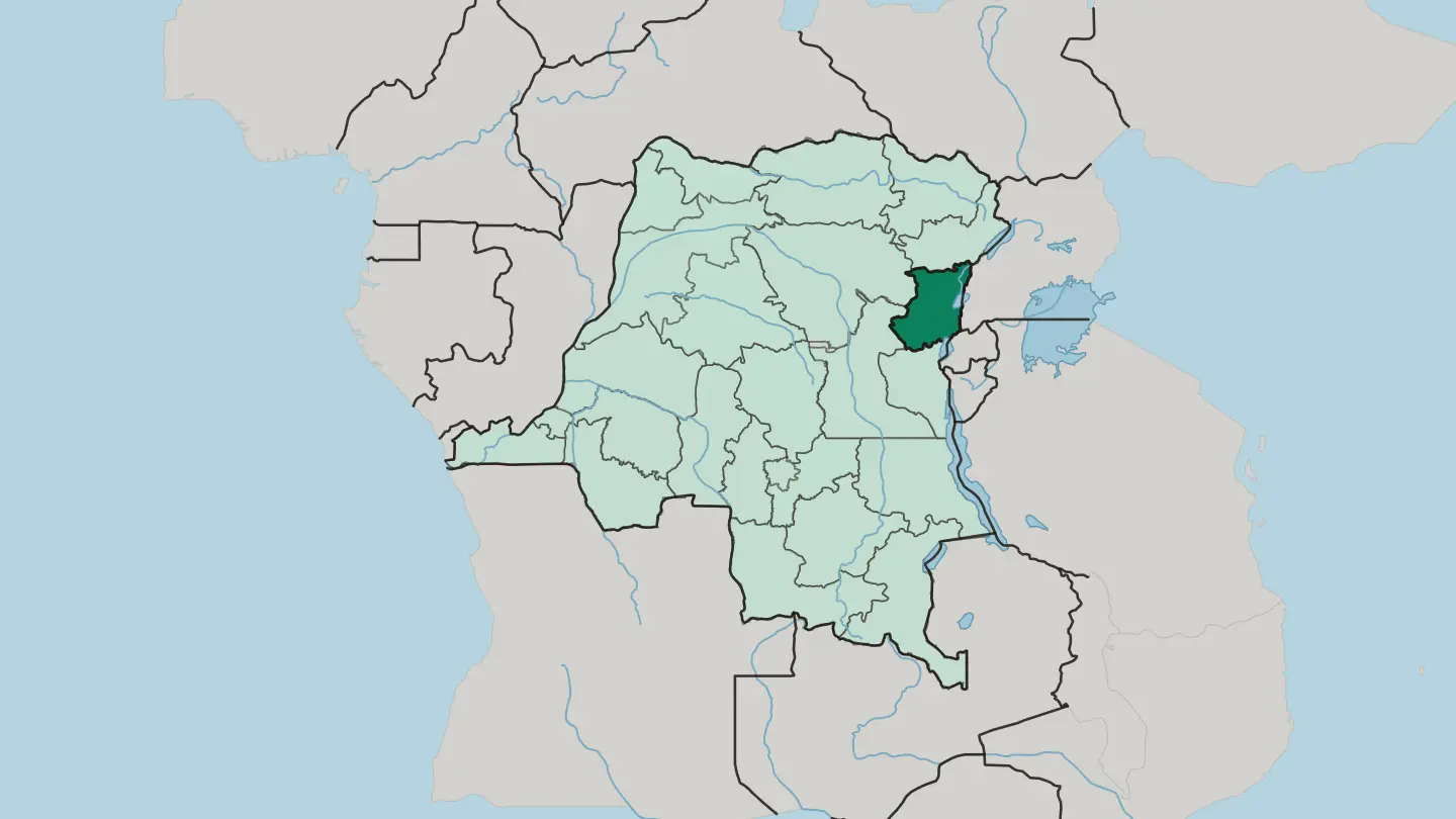 Democratic Republic of the Congo
Province du Nord-Ubangi
Province du Nord-Ubangi lines the Ubangi River in the far north-west of the Democratic Republic of the Congo, its capital Gbadolite.Towns & cities →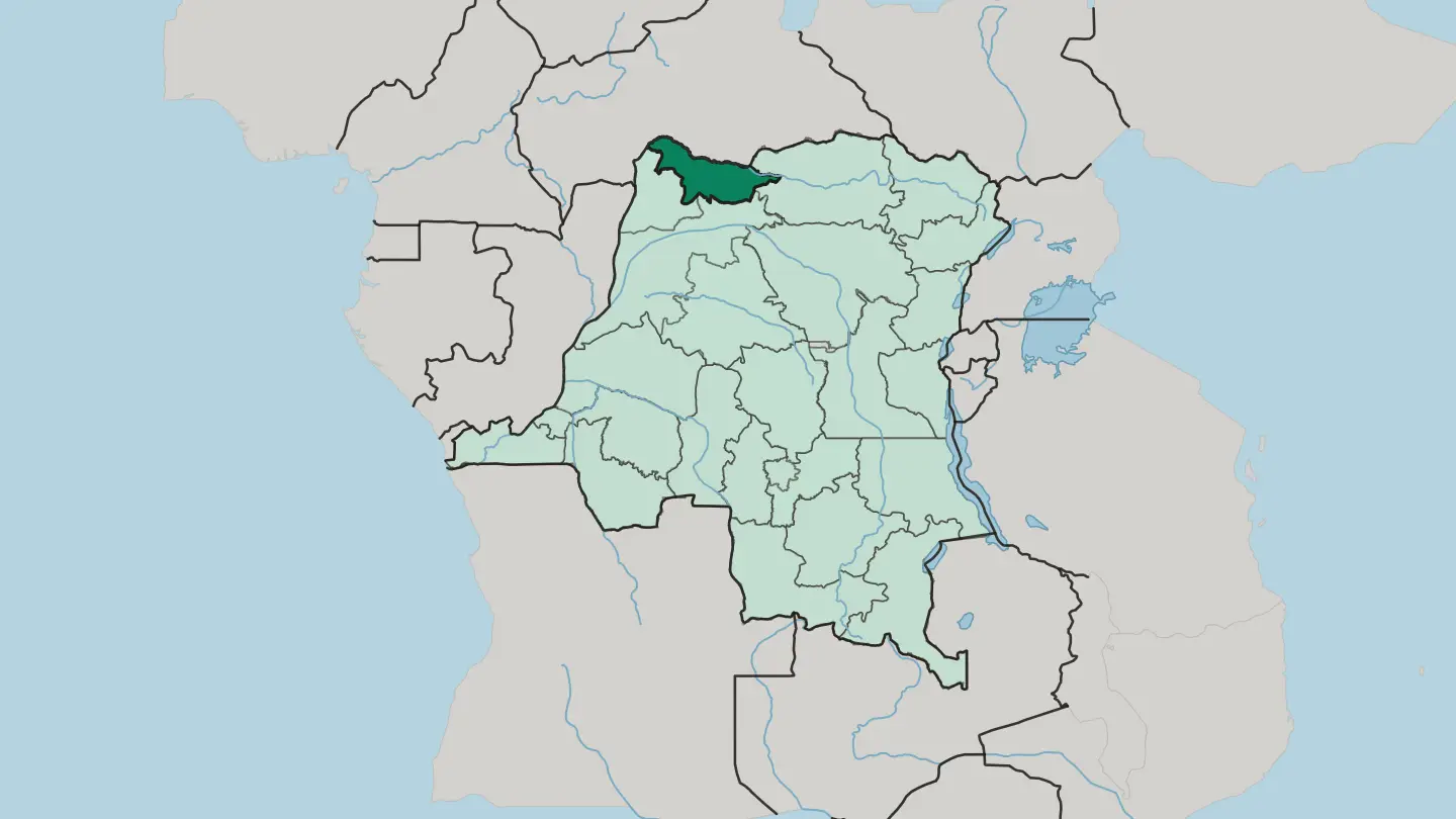 Democratic Republic of the Congo
Province du Sud-Ubangi
Sud-Ubangi is a province in the far north-west of the Democratic Republic of the Congo, named for the Ubangi River on its edge.Towns & cities →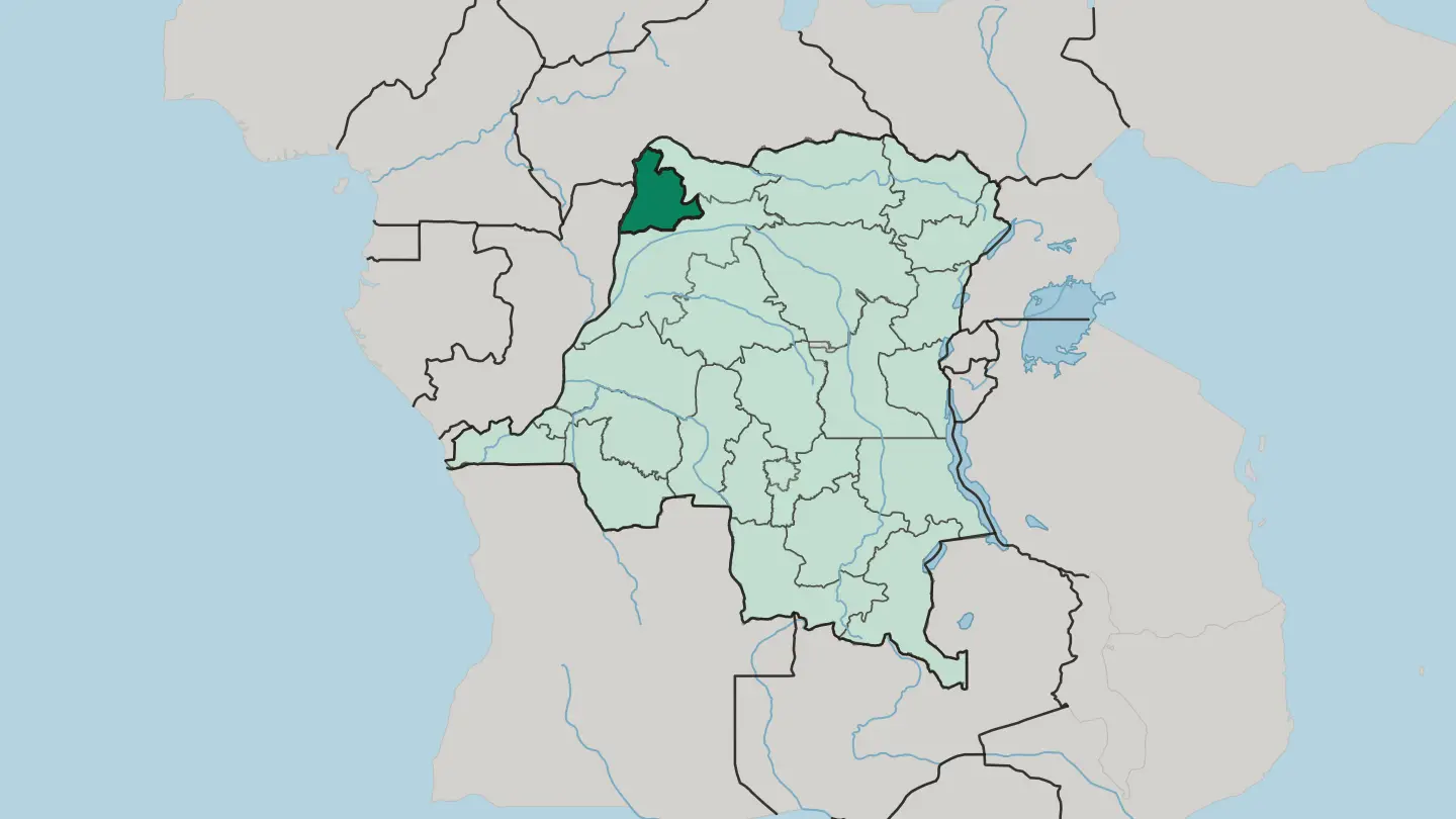 Democratic Republic of the Congo
Sankuru
Sankuru is a rainforest province of central Democratic Republic of the Congo, named for the great river that curves through it.Towns & cities →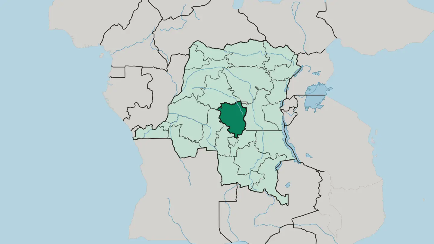 Democratic Republic of the Congo
South Kivu Province
South Kivu is a mountainous province of eastern DR Congo, wrapped around the southern shore of Lake Kivu.Towns & cities →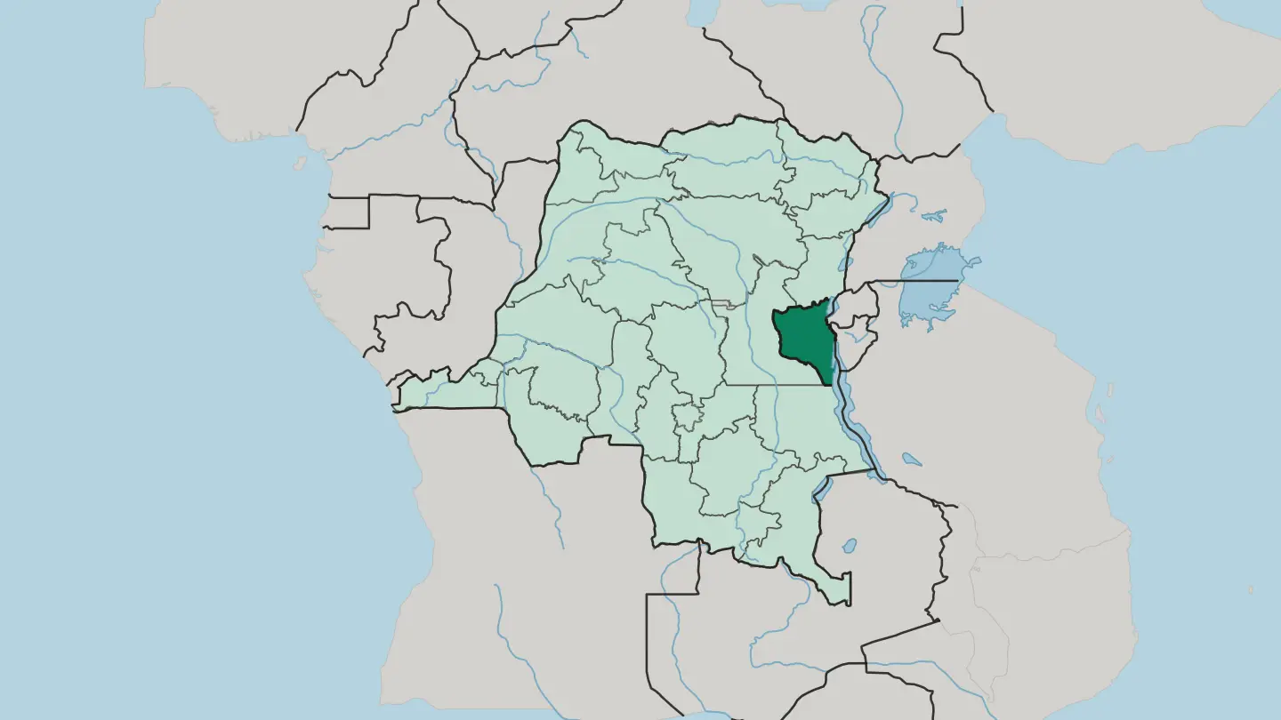 Democratic Republic of the Congo
Tanganika
Tanganika stretches along the western shore of Lake Tanganyika in the east of the Democratic Republic of the Congo, its capital the lake port of Kalemie.Towns & cities →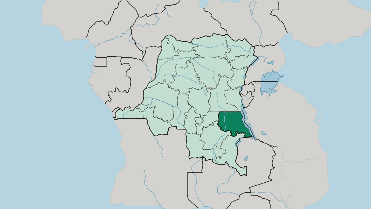 Democratic Republic of the Congo
Tshopo
Tshopo is a rainforest province of the Democratic Republic of the Congo, wrapped around the Congo River at Kisangani.Towns & cities →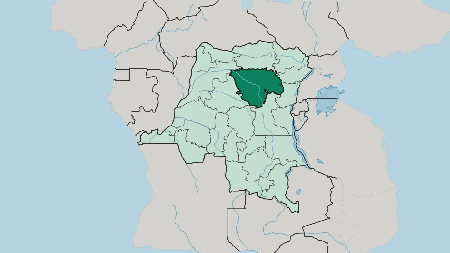 Democratic Republic of the Congo
Tshuapa
Tshuapa is a rainforest province of the Democratic Republic of the Congo, named for the river that carries its trade to Boende.Towns & cities →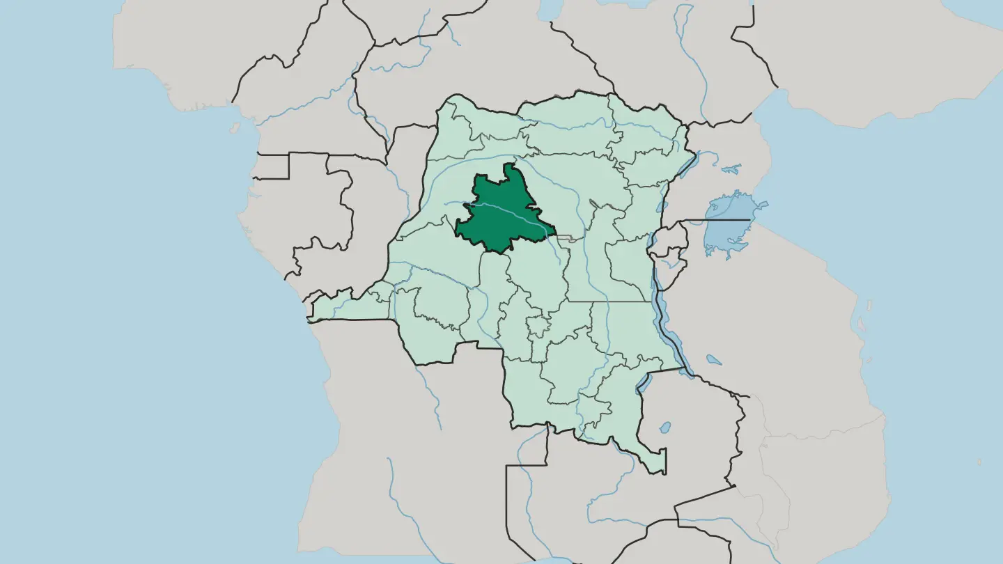
About Democratic Republic of the Congo
What is Democratic Republic of the Congo known for?
The Democratic Republic of the Congo is known for the Congo Basin and its forests. Dense rainforest covers much of the country, crossed by many rivers and ringed by the highlands of the east, while the South Atlantic Ocean touches its narrow western coast. French binds it together.
As the largest French-speaking country by area, it carries Lingala and more than 200 indigenous languages alongside French, with Kinshasa as its capital and largest city.
Where is Democratic Republic of the Congo?
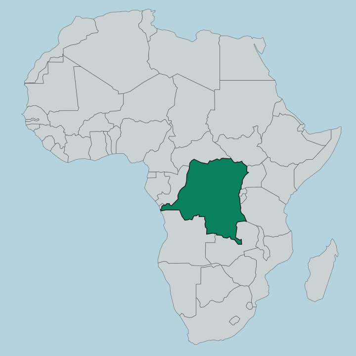
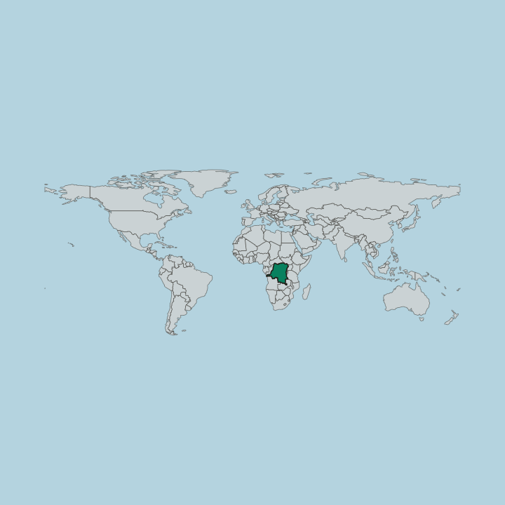
The Democratic Republic of the Congo sits at the centre of Africa. It is the second-largest country on the continent and the eleventh-largest in the world, centred on the Congo Basin, whose dense rainforests and many rivers cover most of its land. Much of the terrain is low, forested basin.
The South Atlantic Ocean meets it along a short western coast. To the west lie the Republic of the Congo and the Cabinda exclave of Angola. Borders run in every direction.
Its neighbours ring it on almost every side. The Central African Republic and South Sudan lie to the north, while Uganda, Rwanda, Burundi, and Tanzania edge it to the east, and Zambia and Angola close it to the south. The east and southeast rise into mountains, and the great forest gives way to highland country.
Rivers thread the whole basin, draining the interior slowly toward the sea. Dense forest and water make overland travel hard across much of the country. Few countries touch so many others.
From the Atlantic coast to the eastern highlands, the land changes character many times over.
What is the history of Democratic Republic of the Congo?
The Democratic Republic of the Congo dates its founding to 1960. The country took its modern form in that year, a large state drawn across the Congo Basin in Central Africa, with Kinshasa established as its capital. For a period it carried the name Zaire.
That earlier name is still remembered as part of the country's past. The renaming did not move its borders, which continued to enclose the same immense stretch of forest and river. Central Africa kept its largest state.
French remained the language of administration. It became the official tongue of a country that also holds Lingala and more than 200 indigenous languages, a shared medium spoken across a very wide territory. Kinshasa grew into the largest city and the seat of government.
The capital stood on the western side of the country near the South Atlantic Ocean, anchoring a nation whose reach ran deep into the forests and rivers of the Congo Basin. Over the following decades the state kept the broad shape it holds. The name Democratic Republic of the Congo dates the country as it now stands.
History here reaches across an immense map.
What is Democratic Republic of the Congo like?
The Democratic Republic of the Congo defines itself partly through language. French is the shared official tongue, but daily life runs in Lingala and more than 200 indigenous languages, a spread of peoples and traditions across the Congo Basin. Many tongues meet here.
As the largest French-speaking country by area, it carries a Francophone identity that binds a very diverse society together, with Kinshasa as its cultural and political centre in Central Africa. Language is the common thread. The other half of the culture is the land.
Life across the country is shaped by the great forest, the rivers, and the basin that gives the nation its name. Rivers carry people and goods where roads cannot reach, and the rainforest sets the rhythm of much of the interior. Across the Congo Basin, forest and river shape how communities live, move, and gather.
Kinshasa gathers the widest mix of communities, drawing people from across the forests and the eastern highlands into one city near the South Atlantic Ocean. Music and language travel along the rivers. It is a culture split between the great river city and the vast reach of the Congo Basin.
What is the climate of Democratic Republic of the Congo?
The Democratic Republic of the Congo has a mainly tropical climate. Across the Congo Basin, most of the country stays hot and humid the year round, with heavy rains feeding the rainforest and the rivers. Highlands temper the heat.
The eastern and southeastern mountains stay cooler than the low forest floor, while the tropical basin sees rain through much of the year rather than a single dry season.
How do you get to Democratic Republic of the Congo?
Most visitors reach the Democratic Republic of the Congo by air. The country's main entry point is Kinshasa, the capital, on the western side of the country near the South Atlantic Ocean, and flights are how most travellers arrive. Overland routes are harder.
The Congo Basin's forests and rivers make road travel slow, so rivers and regional flights carry much of the movement between the country's far-flung regions.
Good for
Updated September 2026