Cyprus · Nicosia District
Where to Stay in Morphou, Nicosia District
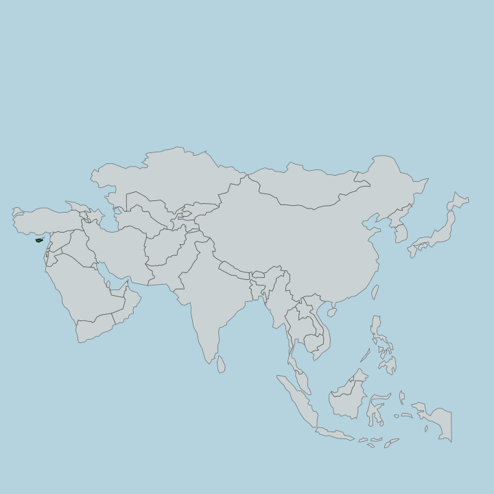
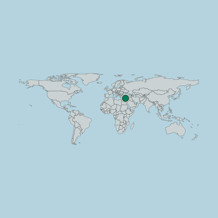
Morphou, Güzelyurt in Turkish, is a town in northwestern Cyprus under the de facto control of Northern Cyprus, known for its oranges.
Find your area →


Where to stay in Morphou
Where visitors usually base themselves, and why.
The Bandabuliya is Morphou's covered market. Built in the 1930s in British colonial style, it is an important commercial centre, and the Saint Mamas Church, an icon museum, is a fixed point of any visit. Morphou's quarters include İsmet Paşa, Lala Mustafa Paşa, and Piyale Paşa.
The Orange Festival fills the town with music and shows, the time to see Morphou at its liveliest. Middle East Technical University opened its Northern Cyprus campus near Morphou in 2005.
About Morphou
What is Morphou known for?
The Morphou area once grew more than half of the citrus fruit of Cyprus, and the town's Orange Festival, run by the municipality since 1977, lasts two weeks with music, dance, and sport. Most of the citrus is exported, and the rest is turned into juice, canned for the island and for export. Morphou is also famous for its apples, grapefruit, melons, and vegetables.
What are the main landmarks in Morphou?
The Saint Mamas Church is Morphou's landmark. It is one of the many churches in Cyprus dedicated to St Mamas, who by local legend lived as a hermit in a cave near Morphou and rode into town on a lion's back after saving a lamb; the church is an icon museum and still hosts a Greek Cypriot liturgy each year. A museum of natural history and archaeology keeps native species and antiquities from the Neolithic to the Byzantine period.
The railway era has its own, the Morphou Train Station Museum.
What is the history of Morphou?
Tradition holds that Spartans founded Morphou, bringing with them the worship of Aphrodite, and in the Middle Ages the town was also called Theomorphou. In the 14th and 15th centuries it held royal estates where the island's kings encouraged sugar, and under the Ottomans in the 16th and 17th centuries it was famous for its linen. Municipal status came on 5 December 1883.
From 1907 to 1948 the town was a main station of the Cyprus Government Railway. After the intercommunal violence of Bloody Christmas most Turkish Cypriots left the town in January 1964, though a third stayed. In the Turkish invasion of 1974 the army took Morphou on 16 August, all its Greek Cypriots fled south, and displaced Turkish Cypriots from Paphos and Limassol settled in their place, making it a refugee town.
The Greek Cypriot municipality of Morphou has since been housed in Nicosia, while Northern Cyprus governs the town as Güzelyurt, within its Güzelyurt District.
Where is Morphou?
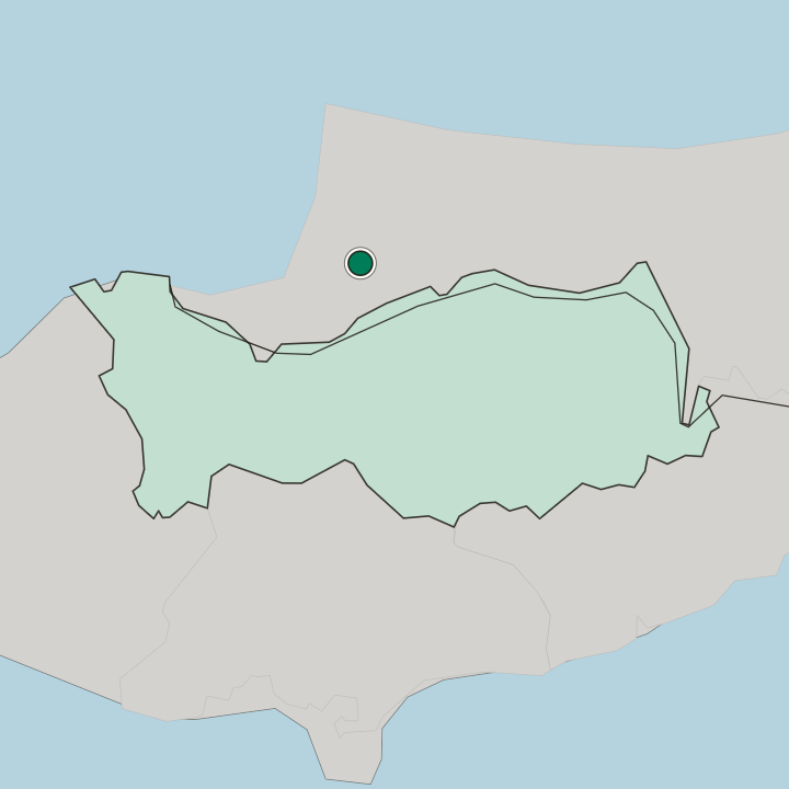
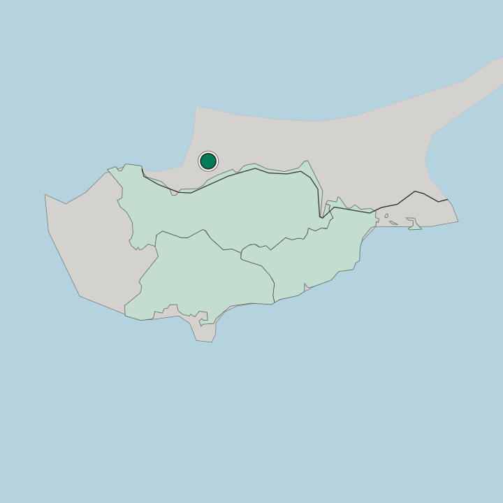
Morphou lies in the northwest of Cyprus, and the northwestern part of its municipal area reaches the sea. Its old neighbours are Kalo Chorio Kapouti, Kyra, and Argaki to the east, Kato Zodeia to the south, Nikitas to the southwest, Syrianochori to the west, and Agia Eirini to the north. The municipality covers about 58 square kilometres.
The Republic of Cyprus counts it in Nicosia District; Northern Cyprus, which controls it, places it in Güzelyurt District.
What is the climate of Morphou?
Summers in Morphou are hot and dry. Winters are cool and wet, and the whole pattern sits on the line between Mediterranean and semi-arid, as across the rest of the island.
Good for
Another city in Nicosia District
Updated October 2026