Germany · Nordrhein-Westfalen · Viersen
Hülsdonk, Viersen — Area Guide & Where to Stay
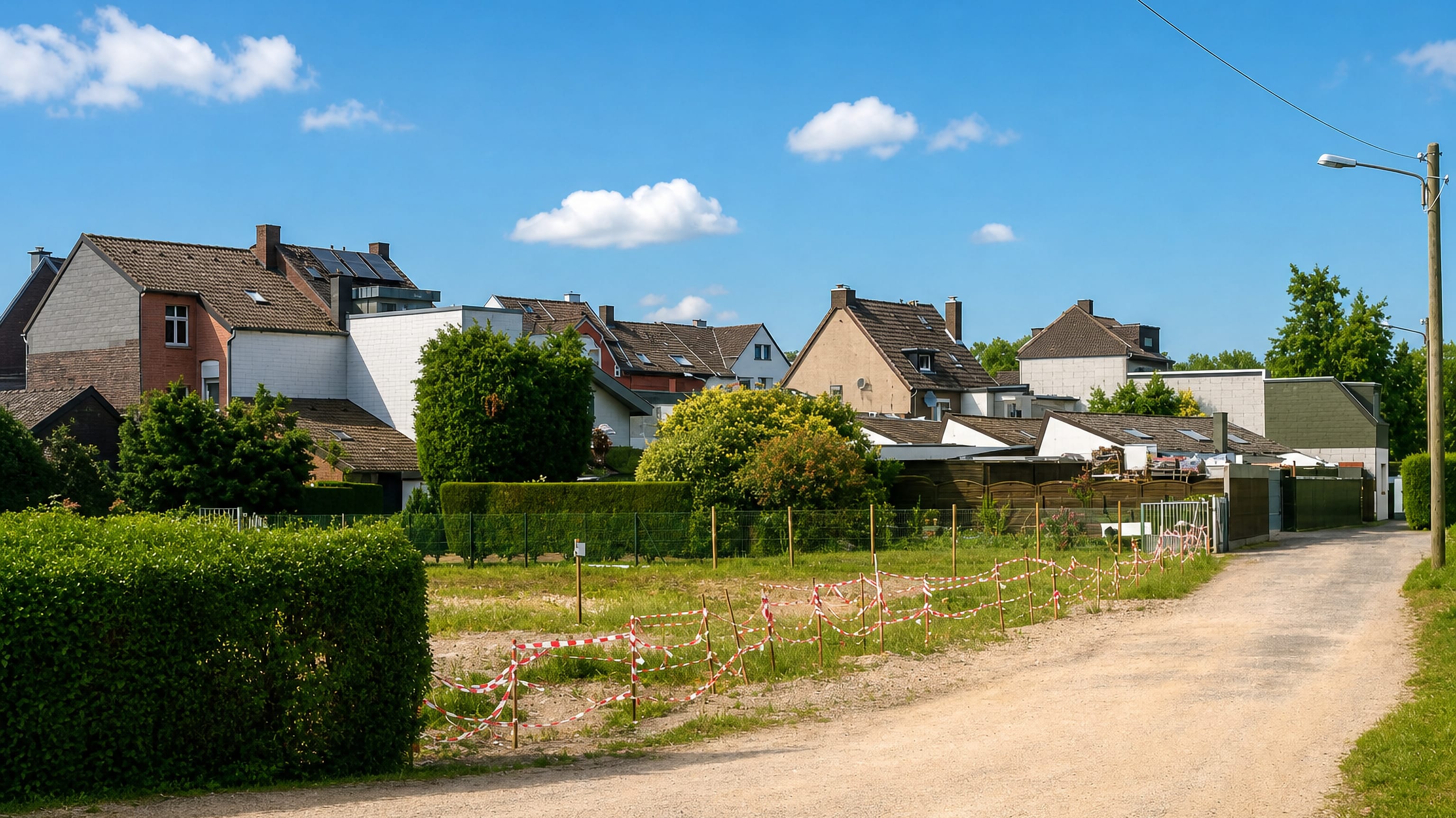
Hülsdonk is an Ortsteil of Viersen about a kilometre and a half east of Alt-Viersen centre, grown around a farm recorded on the Hülsdonk from about 1575.
Hotel links are affiliate links: booking through them may earn us a commission, at no extra cost to you. It never affects how places are ranked. How this works


Where to stay in Hülsdonk
How the choice of base plays out on the ground.
Ground here stands a little above the bog. The original Hülsdonk was the field between what are now the Zollweg and the Krefelder Straße, raised one to two metres above the Rahser Bruch and the Rintger Bruch to the north and east, which is why it was rightly called a Donk. It belongs to Alt-Viersen.
Hülsdonk sits in that Stadtbezirk and has never had any municipal independence, having been part of the Honnschaft Rintgen since the Middle Ages. Viersen proper is a short run west.
Things to do in and around Viersen
Ranked by global recognition; descriptions from Wikidata (CC0).
Museums & Galleries
1- Städtische Galerie im Park Viersen Heritage
Churches & Religious Sites
4- St. Remigius (Viersen) Heritage
- Saint Notburga of Rattenberg Church Heritage
- Kreuzkirche Heritage
- Zeugen Jehovas Heritage
worth knowingacross 2 categories in and around Viersen
About Hülsdonk
What are the main landmarks in Hülsdonk?
One farm started it. A holding up der Hulsdunk stood in this field from at least about 1575, and the settlement grew around it. It was gone by 1713.
Several successor farms had grouped themselves in the area by then, which is the shape the place kept until industry arrived. Old spellings are the other record. Hulsdunk, Hulßdunk, Hulßdunck and Hulsdonck appear in old Dutch orthography and Hülsdonc later in old German.
What is the history of Hülsdonk?
The Honnschaft came before the settlement. As far as it is documented, the Hülsdonk area belonged to the Alt-Viersen Honnschaft Rintgen from the Middle Ages, and nothing is known of any municipal independence. A farm gave it the name.
One called up der Hulsdunk stood in the field between the present Zollweg and Krefelder Straße from at least about 1575, and the settlement developed around it. That farm had gone by 1713. Several successor holdings grouped themselves in the area instead, on ground one to two metres above the neighbouring bogs.
The French period map shows it spreading. A detailed map made around 1800 shows building beyond the Krefelder Straße that bounded the original field on the north, into the area the lane called Hülsdonk now crosses. Industry filled it in.
The industrialisation of the 19th century and the population growth with it densified the building to roughly its present extent.
Where is Hülsdonk?
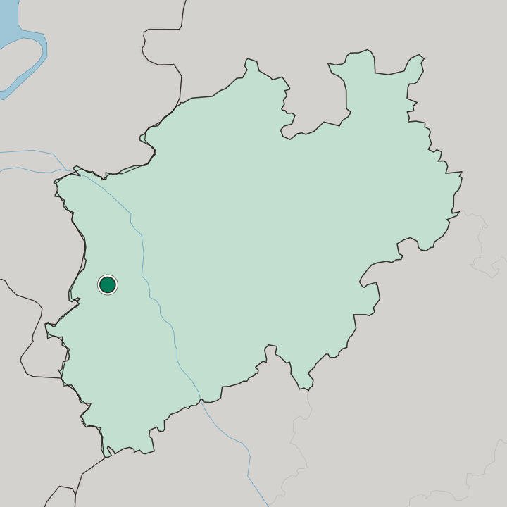
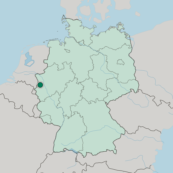
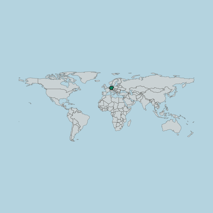
Hülsdonk lies about one to one and a half kilometres east of the Alt-Viersen centre in the Stadtbezirk Alt-Viersen, on ground raised above the Rahser Bruch and the Rintger Bruch, between the Zollweg and the Krefelder Straße.
Good for
Another area in Viersen
Updated October 2026