Algeria · Wilaya de Relizane
Where to Stay in Relizane, Wilaya de Relizane
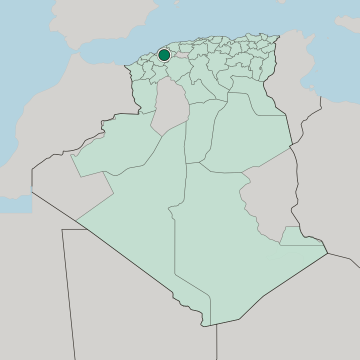
Relizane, also written Ghilizan, is the capital of Relizane Province in Algeria and heir to the Roman town of Mina.
Hotel links are affiliate links: booking through them may earn us a commission, at no extra cost to you. It never affects how places are ranked. How this works


Where to stay in Relizane
How the choice of base plays out on the ground.
Business brings most people to Relizane. The provincial administration, Ahmed Zabana University, and the food processing plants that take the harvest off the Mina Plain all sit inside one commune, so a bed near the middle of town puts every one of them within a short drive. The European quarter laid out after the Algiers to Oran railway still supplies that middle with its streets, and rooms cluster there rather than on any edge.
Ask what brought you. Anyone in for the Sidi M'hamed Benaouda Documentary Film Festival or for business at the wilaya offices wants the centre; anyone breaking a long drive wants the ring of approach roads instead. The roads settle the rest.
National Route 4 and National Route 23 cross in the city, National Route 7 joins them, and the East-West Highway runs past Belassel a few kilometres to the north, which makes the northern approaches the sensible base for a driver going on to Oran or Chlef the next morning. Rail has a simpler answer. The Relizane railway station has sat on the Algiers to Oran line since 1870, so a room within reach of it saves a dawn taxi.
Shared taxis fan out from the seat of Relizane Province to Zemmora, Yellel, El Matmar, and Oued El Djemaa, which makes a night here the practical way to cover the smaller communes of the Wilaya de Relizane. Nothing in the record marks out a separate resort quarter, so the choice stays a matter of which street rather than which district.
About Relizane
Olives and citrus made the reputation.
What is Relizane known for?
Groves on the Mina Plain feed the food processing plants of Relizane, and the Sidi M'hamed Benaouda dam on Oued Mina waters the fields that supply them. The city is also a stage: the Sidi M'hamed Benaouda Documentary Film Festival has run here since 2019, and the painter M'hamed Issiakhem grew up in the town. Rai came through too.
Cheikha Rimitti joined a local band here in 1941, years before the style reached France.
What are the main landmarks in Relizane?
Water is the landmark here. The old dam on Oued Mina, uncovered and repaired by French engineers in 1844, watered the plain long before the Sidi M'hamed Benaouda reservoir took that work over upstream. Older than either is Mina.
Antiquities from the Roman garrison keep surfacing around the modern streets, fixing the town that stood here inside Mauretania Caesariensis. Zaouia Rahmania and Zaouia Alawia hold the religious ground, while the Relizane railway station remains the building most of the province passes through.
What is the history of Relizane?
Mina holds the deep record. Numidian material dates settlement here to the centuries before Rome, and once Caligula had annexed Mauretania Caesariensis in 40 AD the empire turned Mina into a garrison on the limes frontier, watching the roads back towards the provincial capital at Cherchell. Prosperity peaked in the 2nd and 3rd centuries.
The Vandals came in 430 AD and wrecked much of North Africa, yet Mina still spoke for the region at the Carthage Ecclesiastical Council of 484 and again in 525. Ighil Izan surfaces much later, under the Zianid kingdom, when Sultan Abu Hammou Moussa II pitched a camp on one of the hills to fight his cousin Bouzian Al-Koubi. Berber gives the name its sense: a burnt hill.
Ottoman rule redrew the map after 1556, assigning the region to the Western Beylik, and almost nothing of that century survives beyond a dam and the Royal Road between Algiers and Oran. French troops took the town in 1852. An imperial decree created a colonial settlement centre in 1857, full commune status followed in 1871, and the newcomers arrived from Gard and from Valencia, Alicante, Murcia, and Almería.
Cotton went in on about twenty farms. Drought, malaria, and thin harvests undid much of it, while the revolt of the Ouled Sidi Cheikh broke out south of Oran and ran until 1896. Napoleon III pardoned the Flittas here in 1865, Henri-Alfred Darjou painted the scene three years later, and the canvas hangs in the National Museum of the Palaces of Versailles and Trianon.
One more arrival came in 1939. Spanish Republicans leaving Alicante at the end of the Spanish Civil War crossed on the Stanbrook under Captain Archibald Dickson, and the camp at Relizane was reckoned the easiest of those built for them in Algeria.
Where is Relizane?
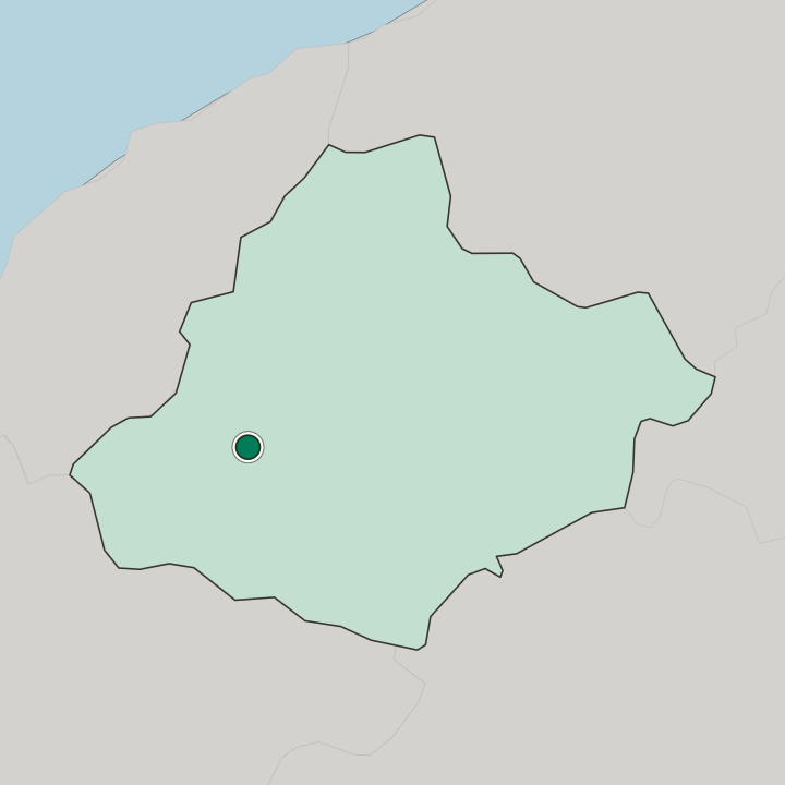
Relizane sits low on the banks of Oued Mina, at the point the Mina Valley opens out into the Mina Plain. Cropland covers most of the ground within a few kilometres of the streets, and olive groves and citrus orchards run across it. Chlef and Tissemsilt lie east, Tiaret and Mascara south, Mostaganem towards the sea.
Relief nearby is slight. The real climbs belong to the Ouarsenis, whose Flittas and Beni-Ouragh supplied many of the town's families.
What is the climate of Relizane?
The Mediterranean sets the pattern, but the Ouarsenis keeps the sea's moderation at arm's length. Summers are short, arid, and fierce, with August the hottest of the months, while the cool season stretches from the middle of November into March and brings the wind and the cloud with it. Rain is erratic.
Irrigation drawn from Oued Mina and the Sidi M'hamed Benaouda reservoir carries the orchards of the Mina Plain through the dry weeks, which is why the groves survive a summer that pushes past forty degrees.
How do you get to Relizane?
Trains do the long haul. The Relizane railway station has stood on the Algiers to Oran line since 1870, and Coradia services work it alongside freight contracted to the national grain office and to Naftal. The Mostaganem line through Zemmora, opened in 1927, no longer runs.
Drivers come in off the East-West Highway, which passes Belassel a few kilometres to the north, or along National Route 4 and National Route 23. Shared taxis handle the rest, out to Zemmora, Yellel, El Matmar, and Oued El Djemaa. The old airfield takes helicopters.
Good for
Updated September 2026