Algeria: Regions, Cities & Travel Guide
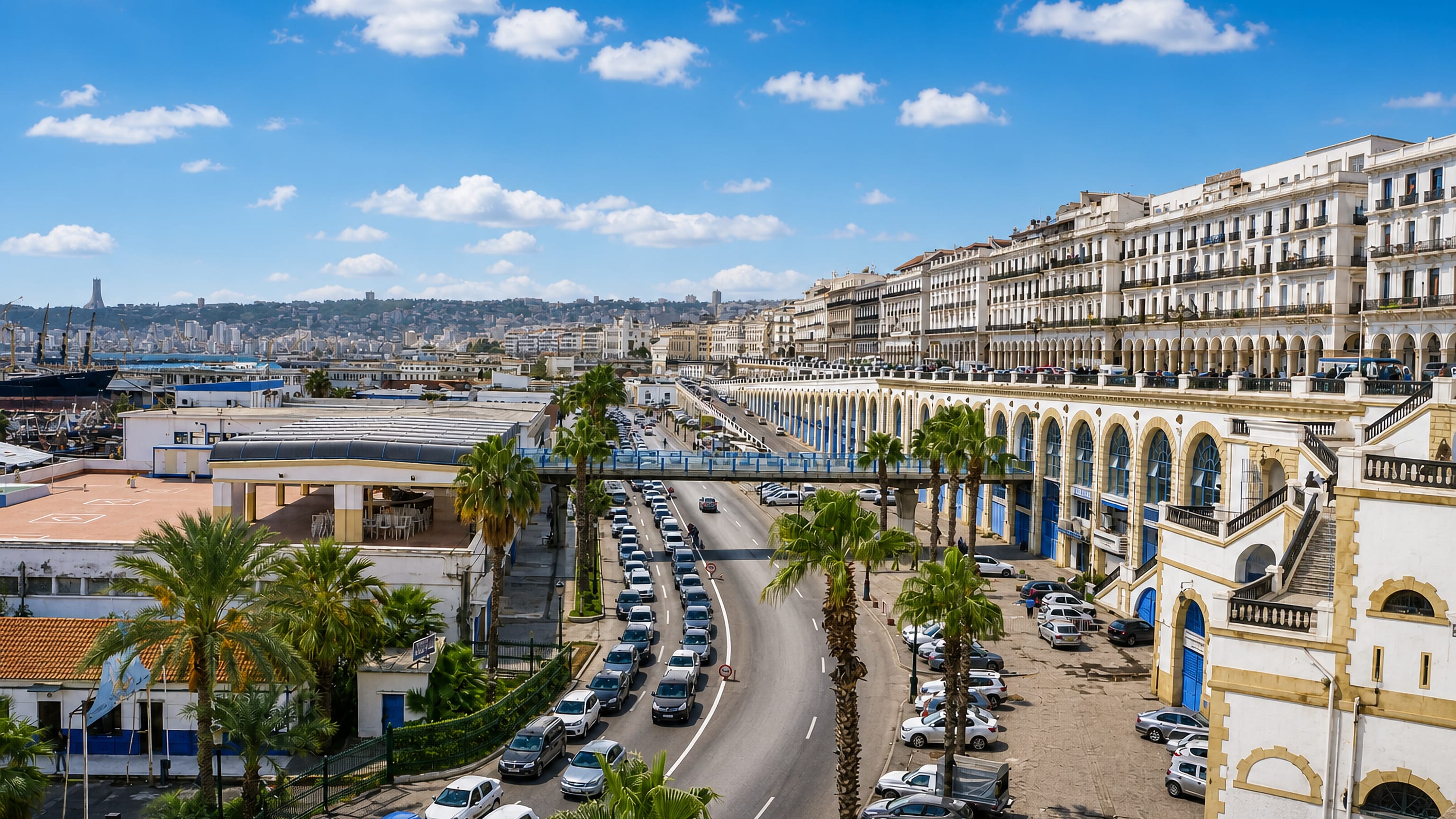
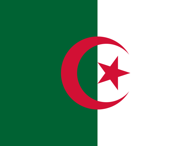
The Sahara stretches south from the Mediterranean coast across Algeria, the largest country in Africa and the core of the Maghreb.
Hotel links are affiliate links: booking through them may earn us a commission, at no extra cost to you. It never affects how places are ranked. How this works


Top destinations in Algeria
Cities to start from, then drill into areas and hotels.
 Algeria
Algiers
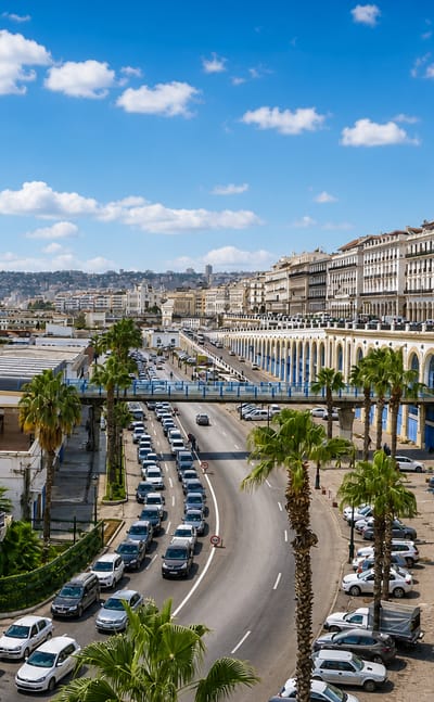
Algiers is the capital and largest city of Algeria, its white terraces rising from the Bay of Algiers above the Mediterranean coast.Where to stay →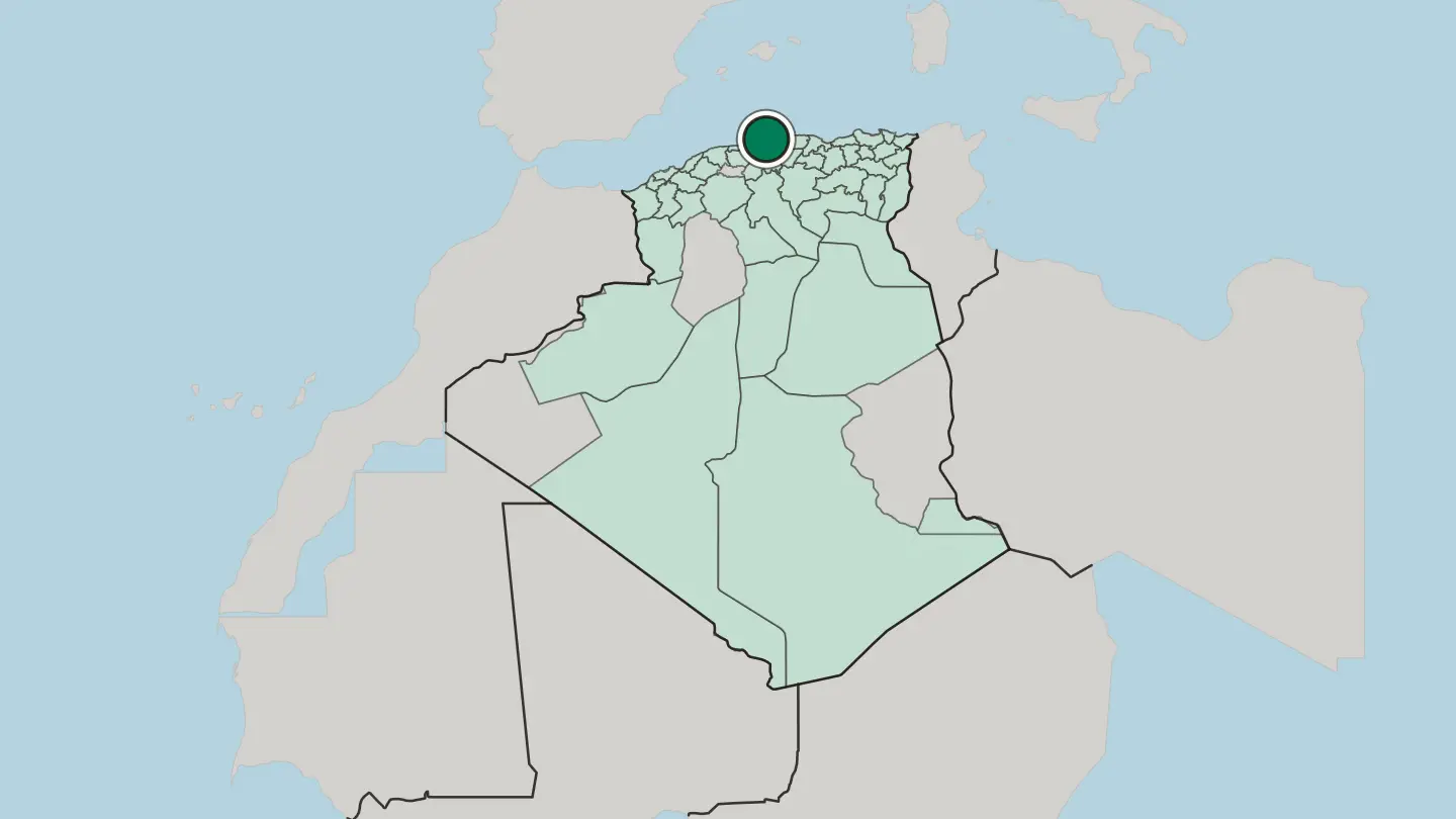
 Algeria
Oran
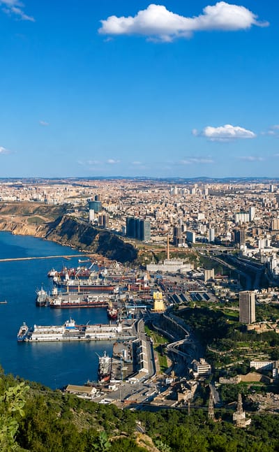
Sea light washes the heights of Oran, a coastal city in northwest Algeria and capital of Oran province, crowned by the Santa Cruz chapel.Where to stay →
 Algeria
Constantine
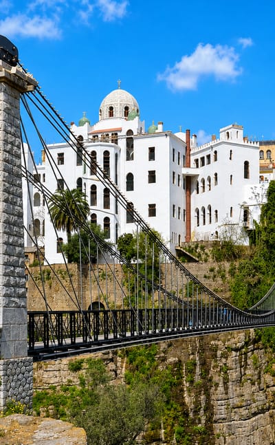
Bridges leap the gorges of Constantine, a plateau city in northeast Algeria and capital of Constantine Province, the old town once known as Cirta.Where to stay →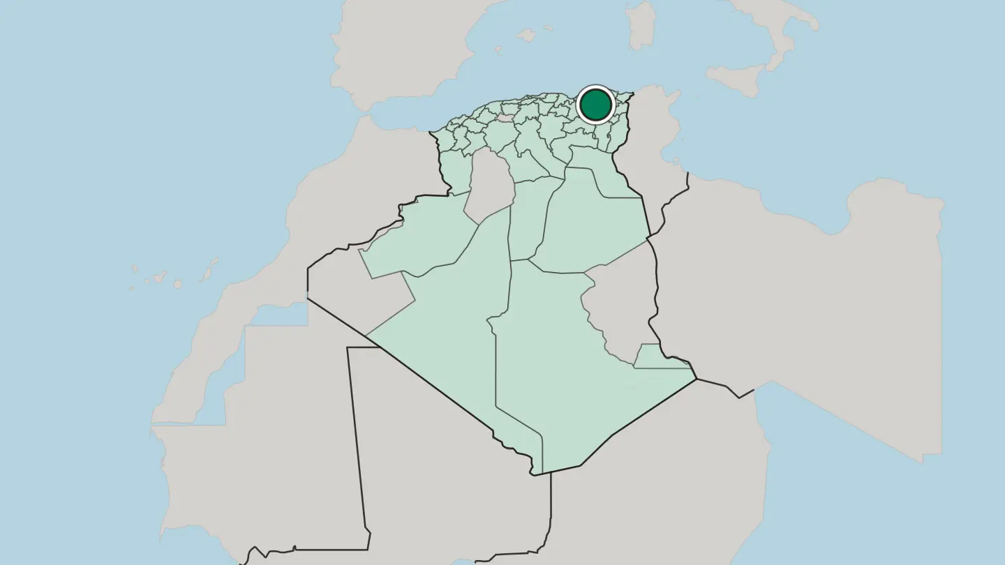
 Algeria
Tlemcen
Tlemcen is a historic city of northwestern Algeria, the old capital of a Berber kingdom and a centre of Moorish art.Where to stay →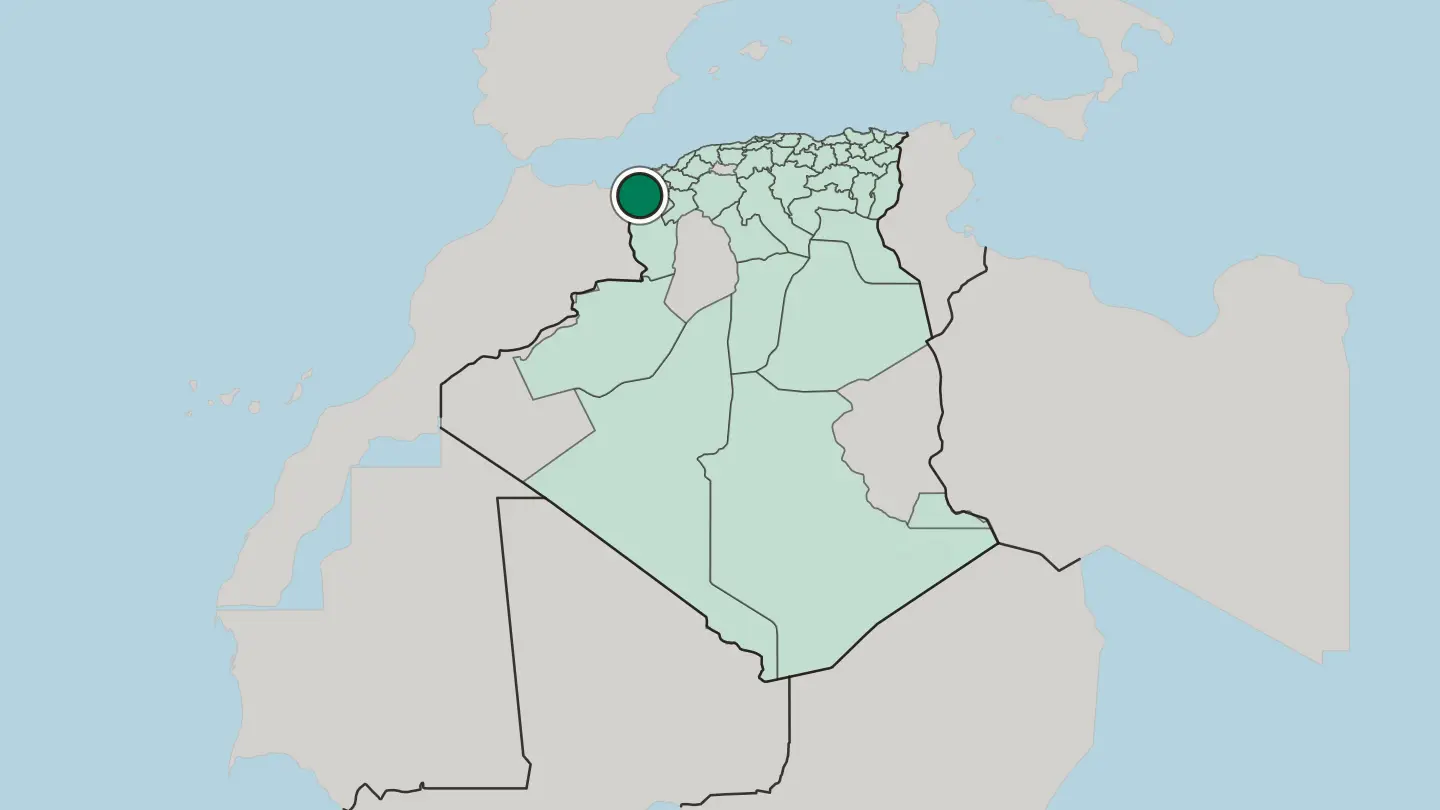
 Algeria
Béjaïa
Béjaïa is a Mediterranean port city of northern Algeria, a town of Kabylie on a great bay below a green mountain, once the capital of a Berber kingdom.Where to stay →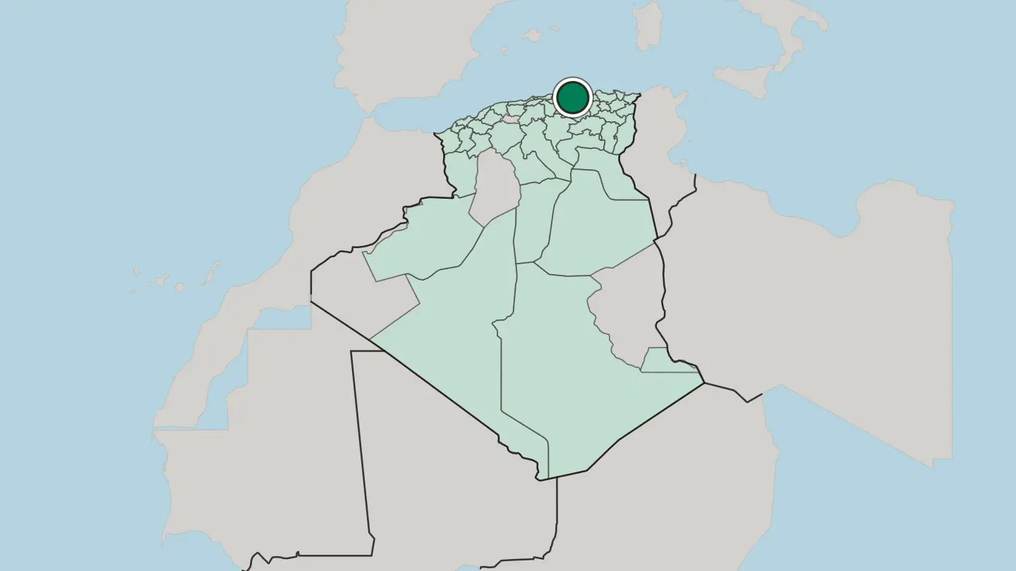
 Algeria
Annaba
Annaba is a city of northeast Algeria on the Mediterranean, an old port beside Roman Hippo, where Saint Augustine was bishop, his basilica on the hill.Where to stay →
 Algeria
Tamanghasset
Tamanghasset is an oasis city high in the Ahaggar Mountains, capital of Tamanrasset Province and chief city of the Algerian Tuareg.Where to stay →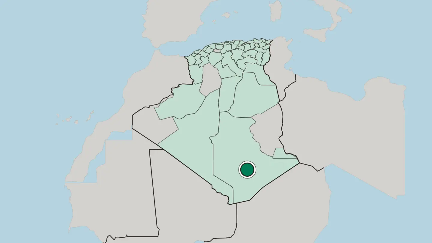 Algeria
Tizi Ouzou
Tizi Ouzou, or Thizi Wezzu, is the capital of Algeria's Kabylia region and the seat of Tizi Ouzou Province.Where to stay →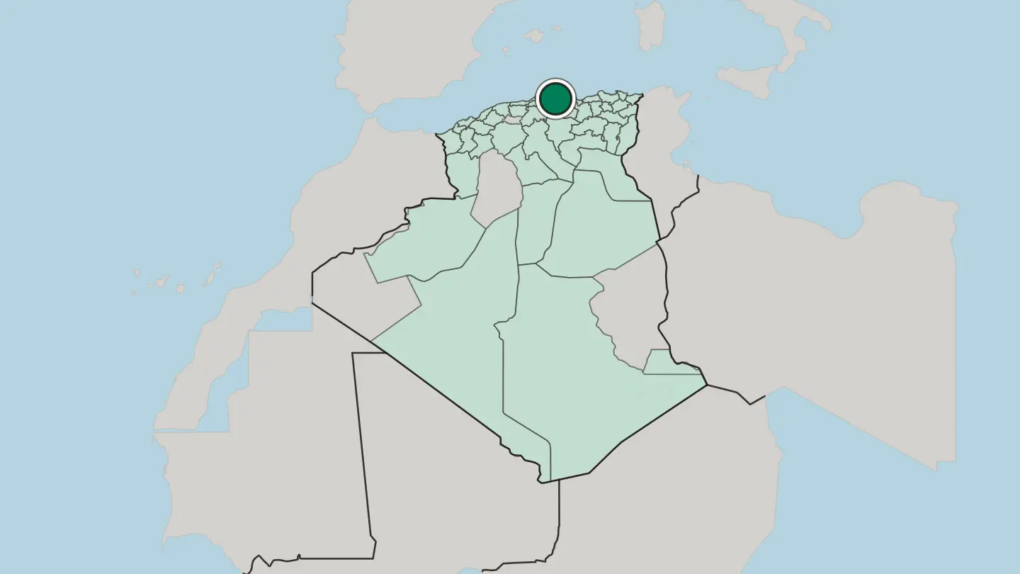
 Algeria
Sétif
Sétif is a city of the high plateau of northeast Algeria, an old Roman town of ruins and mosaics, gathered around a famous marble fountain.Where to stay →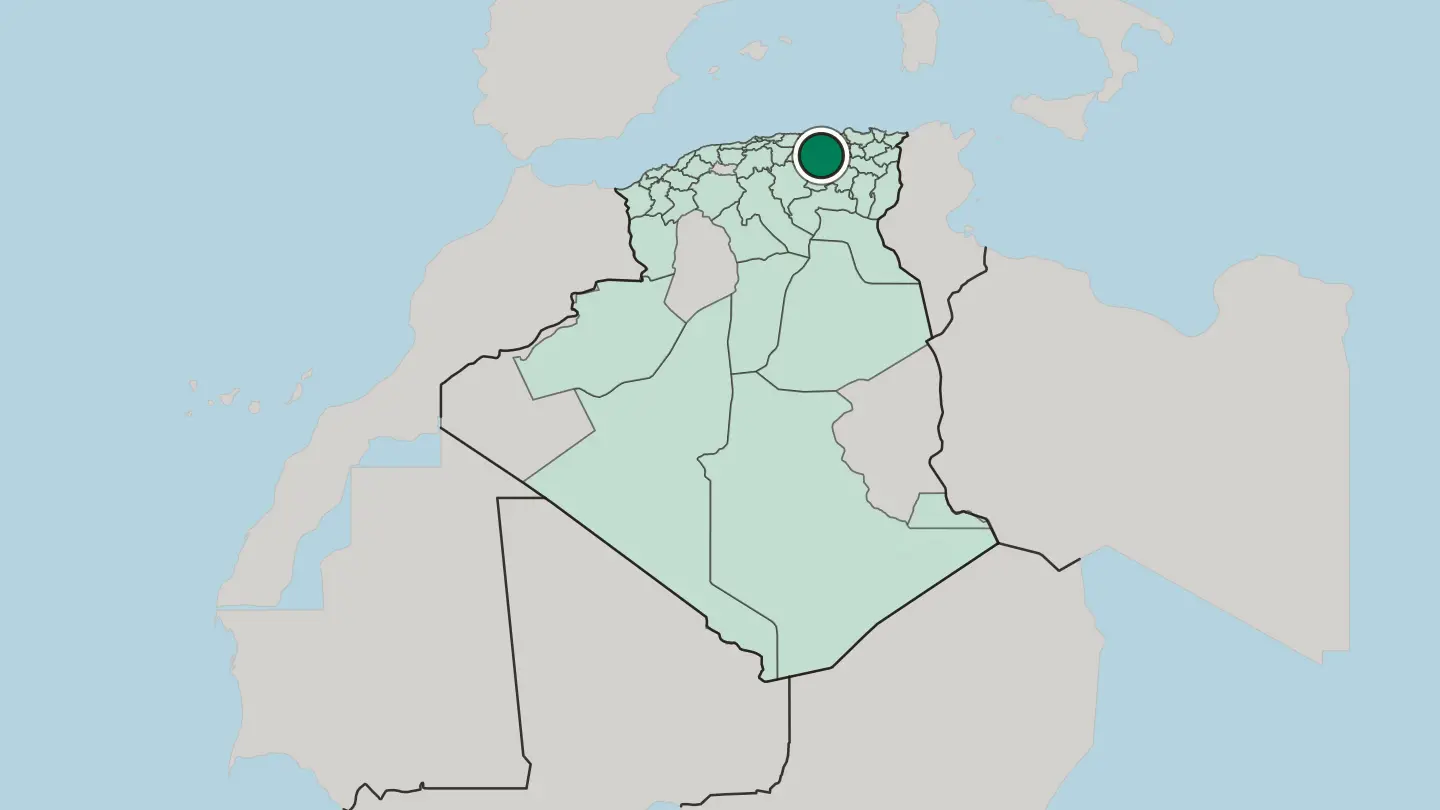
Hotel links are affiliate links: booking through them may earn us a commission, at no extra cost to you. It never affects how places are ranked. How this works
Regions of Algeria
 Algeria
Adrar
Adrar is a vast Saharan province of southwestern Algeria, a string of date-palm oases fed by ancient foggara water tunnels across the open desert.Towns & cities →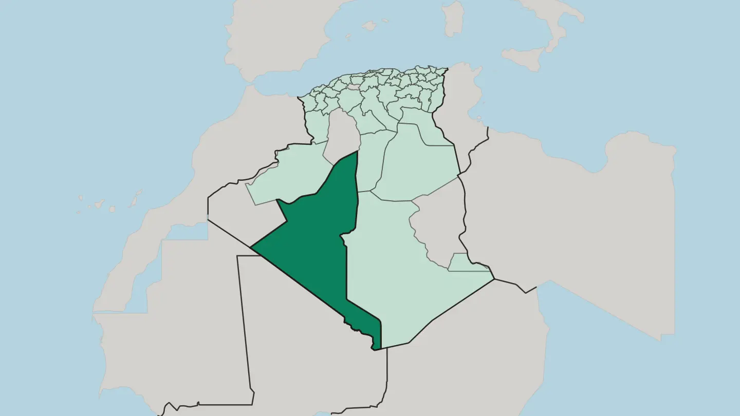 Algeria
Annaba
Annaba anchors Algeria's north-eastern coast, a Mediterranean port beside the Roman ruins of Hippo Regius, close to the Tunisian border.Towns & cities →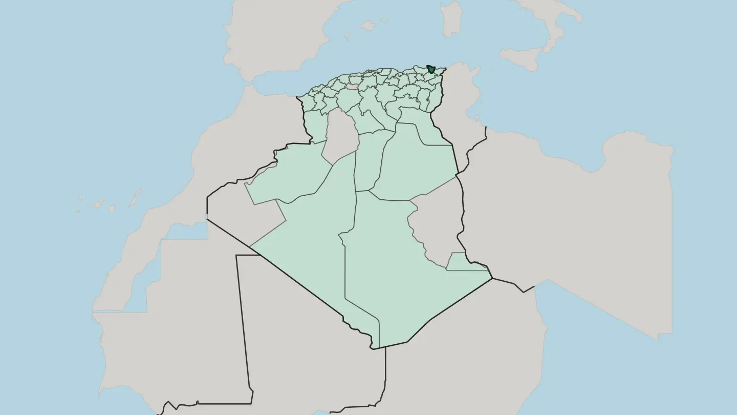 Algeria
Djanet
Djanet is an oasis town in the Algerian Sahara, the base for treks into the Tassili n'Ajjer and its prehistoric rock art.Towns & cities →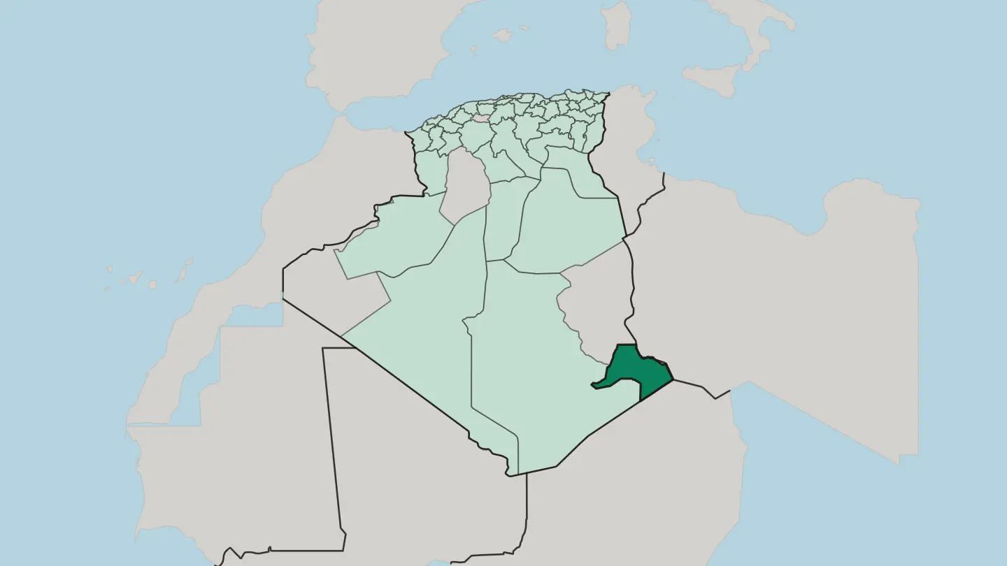
 Algeria
El Oued
El Oued is a Saharan province of eastern Algeria, its domed capital rising from the date palms and dunes of the Grand Erg Oriental.Towns & cities →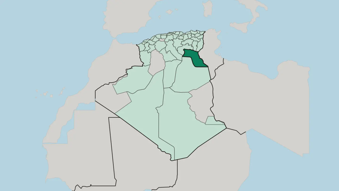 Algeria
El Tarf
El Tarf is Algeria's far north-east, a coastal province of lagoons, cork oak forest and the wetland lakes of El Kala National Park.Towns & cities →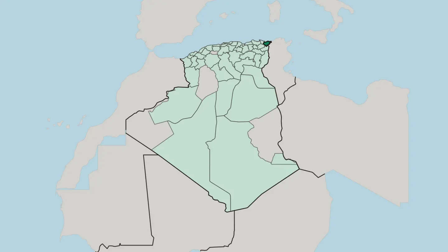
 Algeria
M’sila
M'sila is a high-plateau province of inland Algeria, its towns strung across the Hodna plain around the salt lake of Chott el-Hodna.Towns & cities →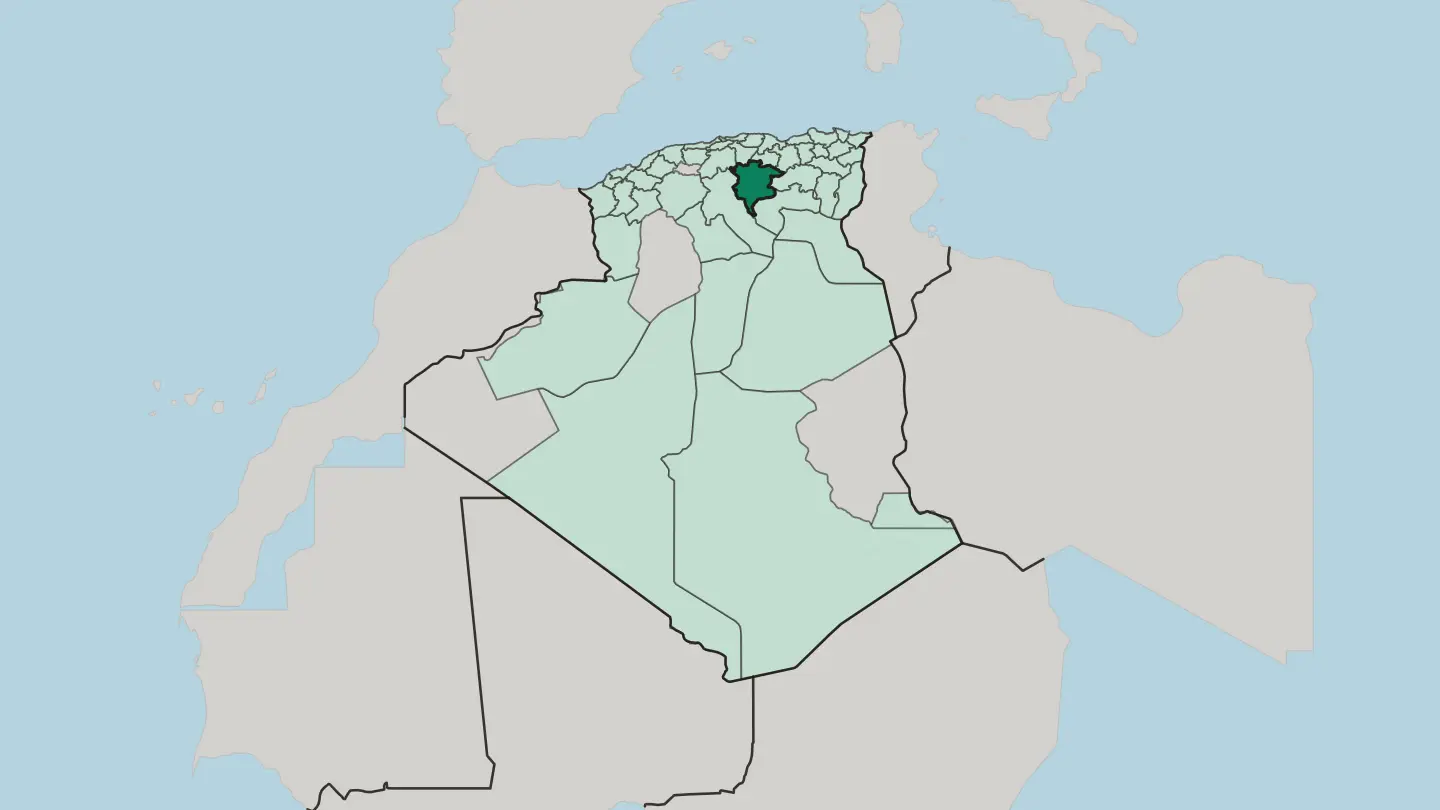 Algeria
Oran
Oran is Algeria's second city, a Mediterranean port on the Gulf of Oran where the Santa Cruz fort crowns Mount Murdjajo above the harbour.Towns & cities →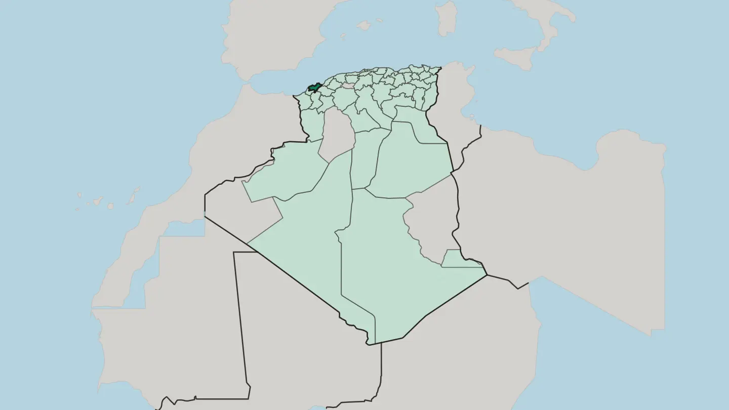 Algeria
Oum el Bouaghi
Oum El Bouaghi is a high-plains province of eastern Algeria, a land of wheat fields, salt lakes, and Chaoui Berber towns near Constantine.Towns & cities →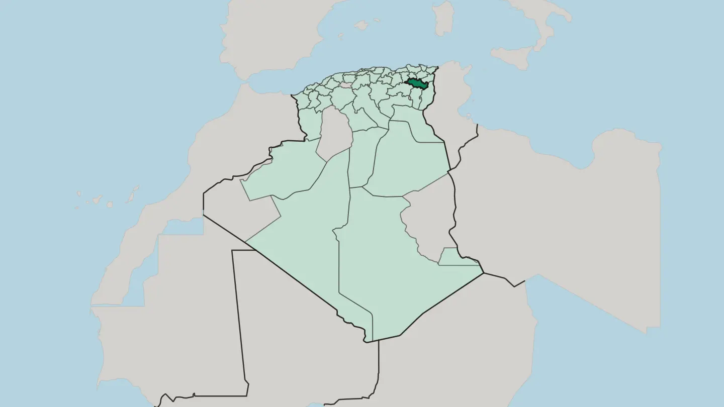 Algeria
Wilaya de Aïn Defla
Wilaya de Aïn Defla is an Algerian province southwest of Algiers, its Chelif valley set between the Dahra hills and the Ouarsenis.Towns & cities →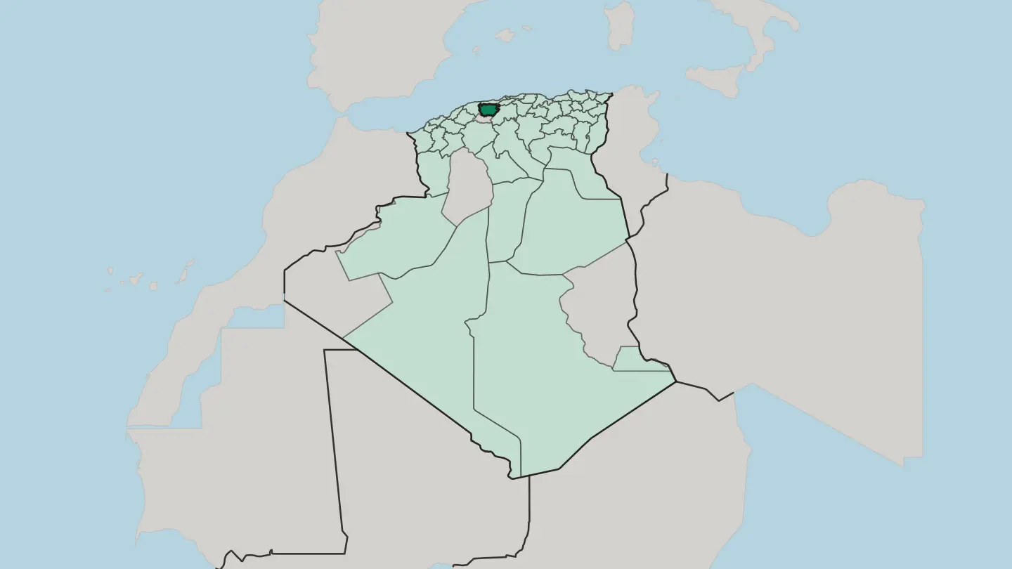
 Algeria
Wilaya de Aïn Temouchent
Aïn Témouchent is a coastal province of northwestern Algeria, where the Tafna reaches the sea beside the Numidian port of Siga.Towns & cities →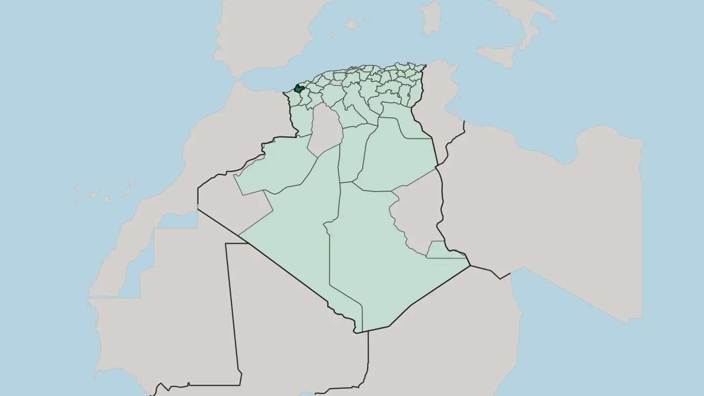 Algeria
Wilaya de Batna
Wilaya de Batna is Algeria's Aurès heartland, where Roman Timgad and the cliff villages of Ghoufi rise high between two mountain ranges.Towns & cities →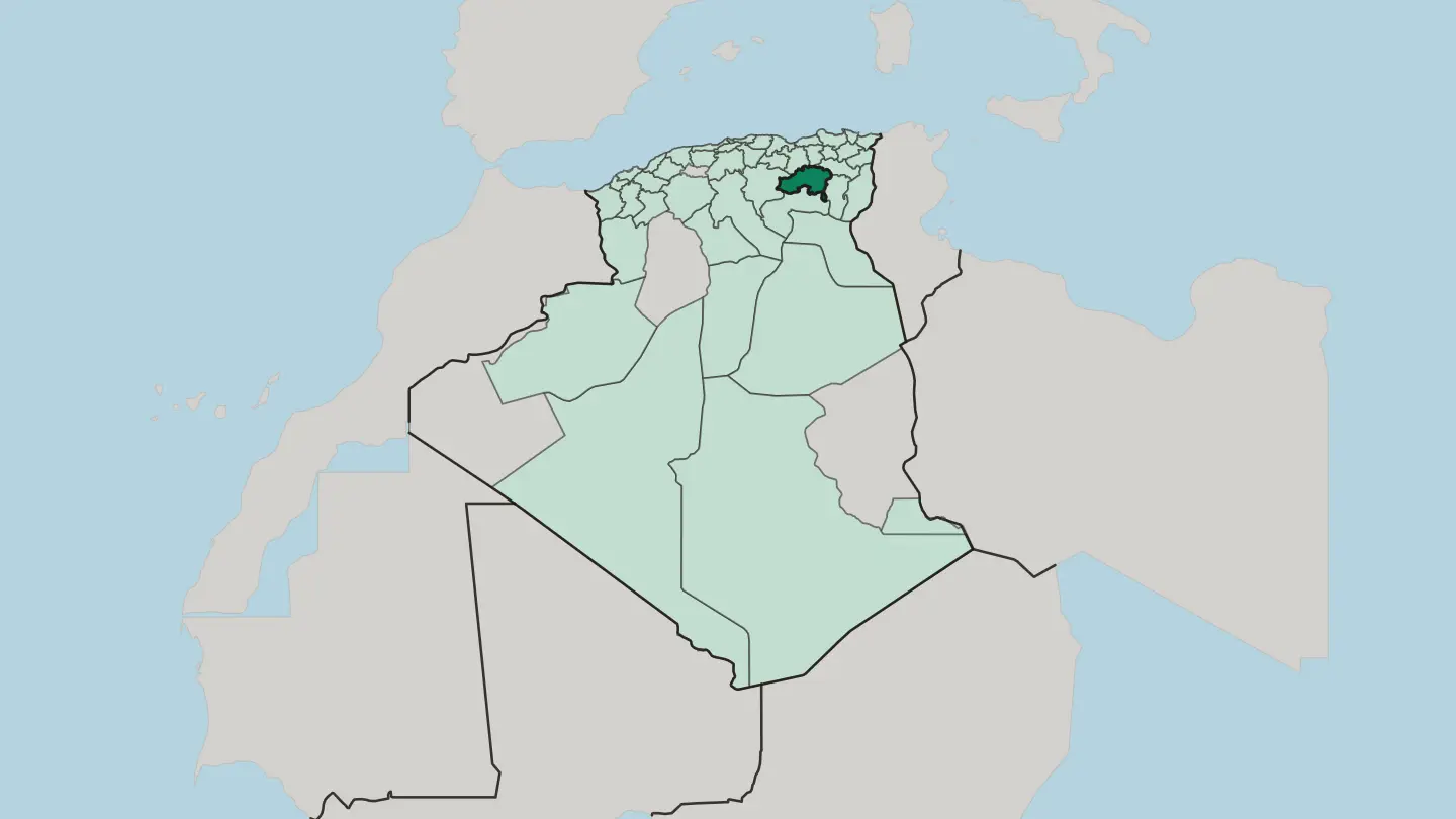 Algeria
Wilaya de Bejaïa
Wilaya de Bejaïa is Kabylia's Mediterranean province in northern Algeria, where the Soummam River reaches the sea below the Gouraya ridge.Towns & cities →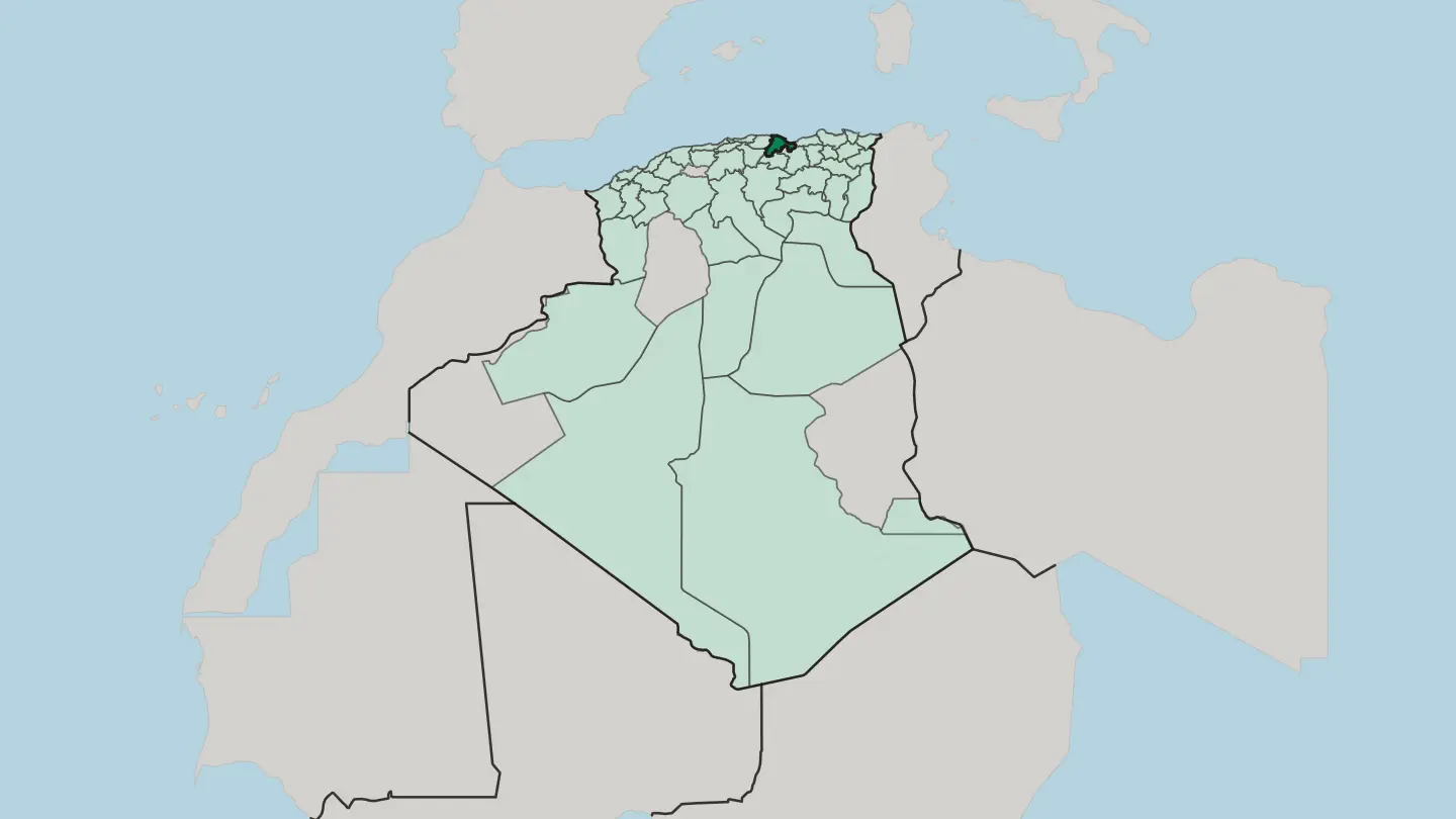
 Algeria
Wilaya de Biskra
Wilaya de Biskra is Algeria's great date-palm province, spread along the northern rim of the Sahara below the Aurès Mountains.Towns & cities →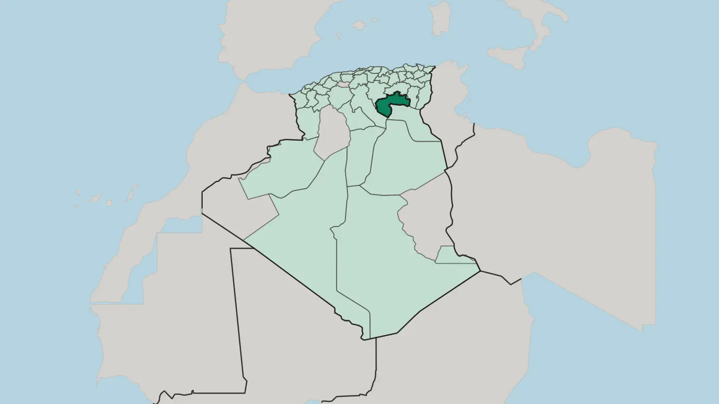
 Algeria
Wilaya de Blida
Wilaya de Blida spreads across the Mitidja plain below the Tell Atlas, southwest of Algiers, Chréa's cedar forests and the City of Roses.Towns & cities →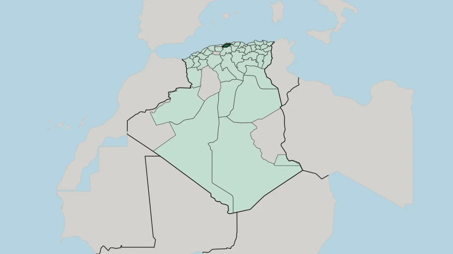
 Algeria
Wilaya de Bordj Bou Arréridj
Wilaya de Bordj Bou Arréridj spans Algeria's eastern high plateaus, between the Bibans and the Hodna, and turns out much of the country's electronics.Towns & cities →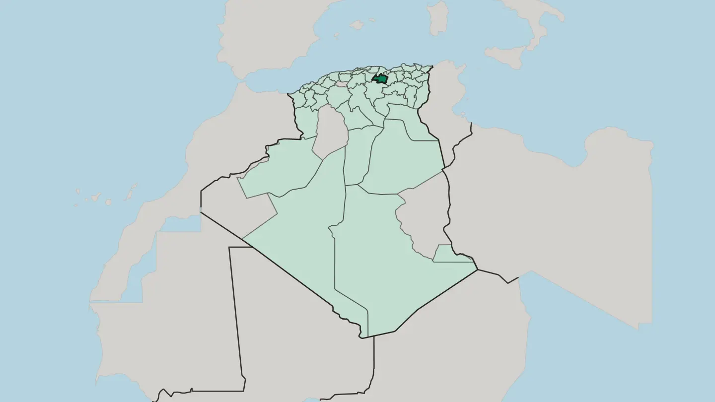 Algeria
Wilaya de Bouira
Wilaya de Bouira spreads across the Kabylia highlands south-east of Algiers, where the Djurdjura wall rises over olive valleys and cereal plains.Towns & cities →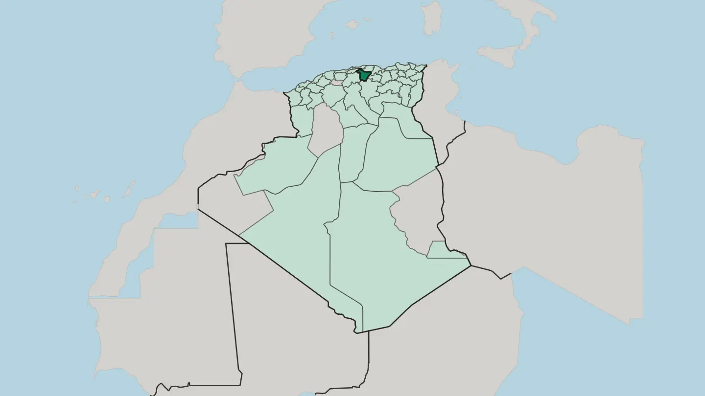 Algeria
Wilaya de Boumerdes
Wilaya de Boumerdès is a Mediterranean province of Algeria, on the coast just east of Algiers where the Isser reaches the sea.Towns & cities → Algeria
Wilaya de Béchar
The Wilaya de Béchar is a vast and thinly settled province of Algeria on the frontier with Morocco, run from the Saharan city of Béchar.Towns & cities →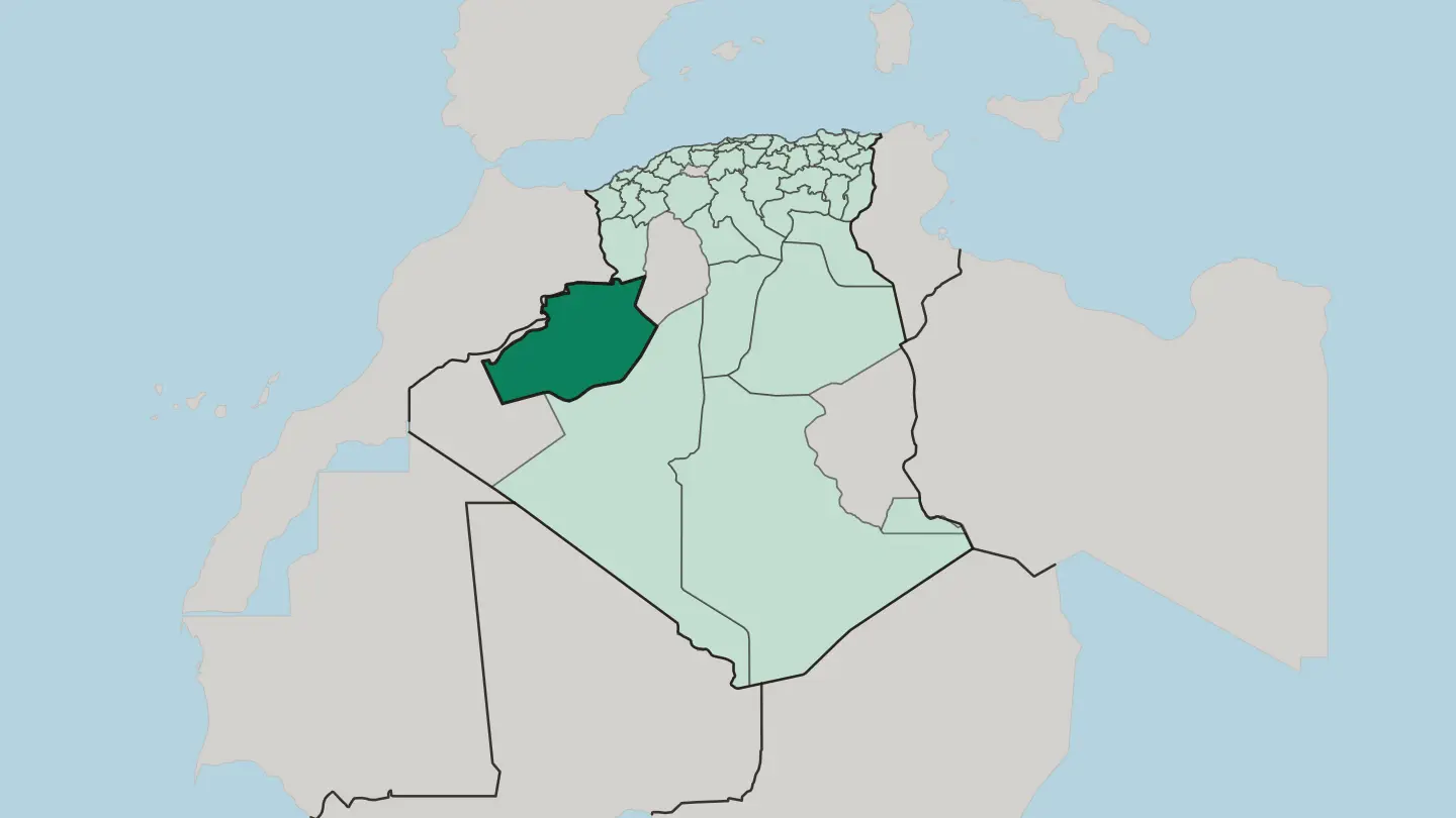 Algeria
Wilaya de Chlef
Chlef is a north Algerian province where the Chélif, the country's longest river, waters a farm valley between the Dahra and Ouarsenis hills.Towns & cities →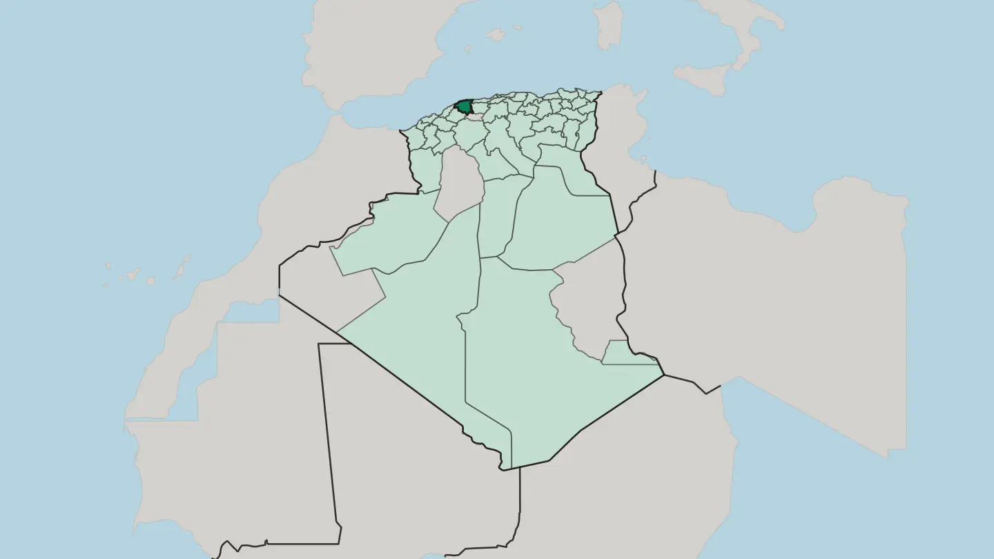 Algeria
Wilaya de Constantine
Wilaya de Constantine is the north-eastern Algerian province built around Constantine, the City of Bridges above the Rhummel gorge.Towns & cities →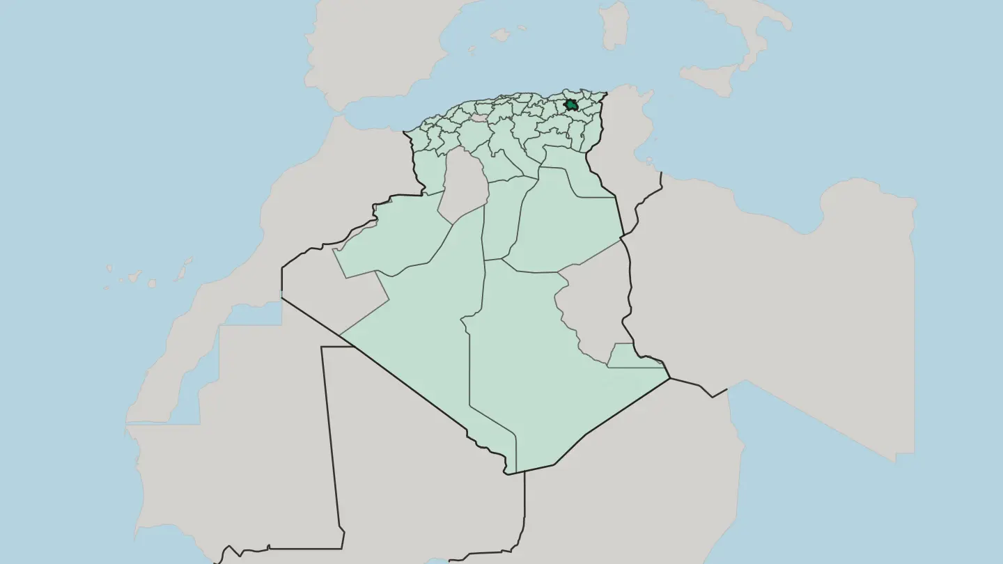
 Algeria
Wilaya de Djelfa
Wilaya de Djelfa is high sheep-steppe in the Ouled Naïl Range, where the Saharan Atlas gives way to the Sahara.Towns & cities →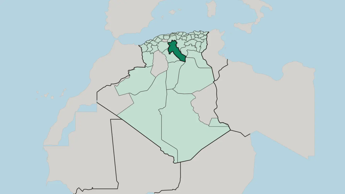
 Algeria
Wilaya de Ghardaïa
Wilaya de Ghardaïa is a Saharan province of Algeria built around the M'zab valley and its five walled ksour, a UNESCO World Heritage site.Towns & cities →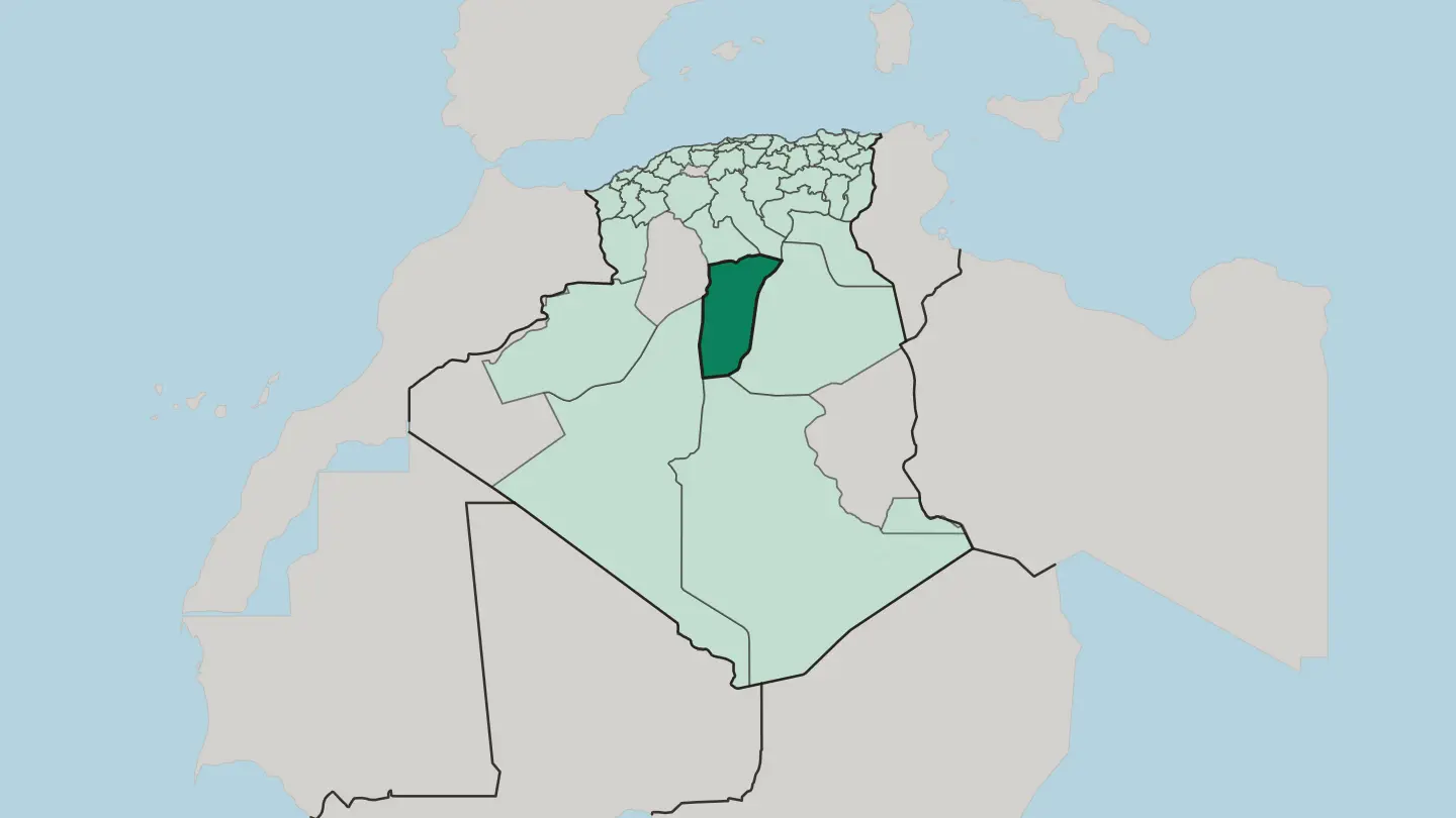 Algeria
Wilaya de Guelma
Wilaya de Guelma is an inland province of north-eastern Algeria, built around Roman Calama and the boiling springs of Hammam Debagh.Towns & cities →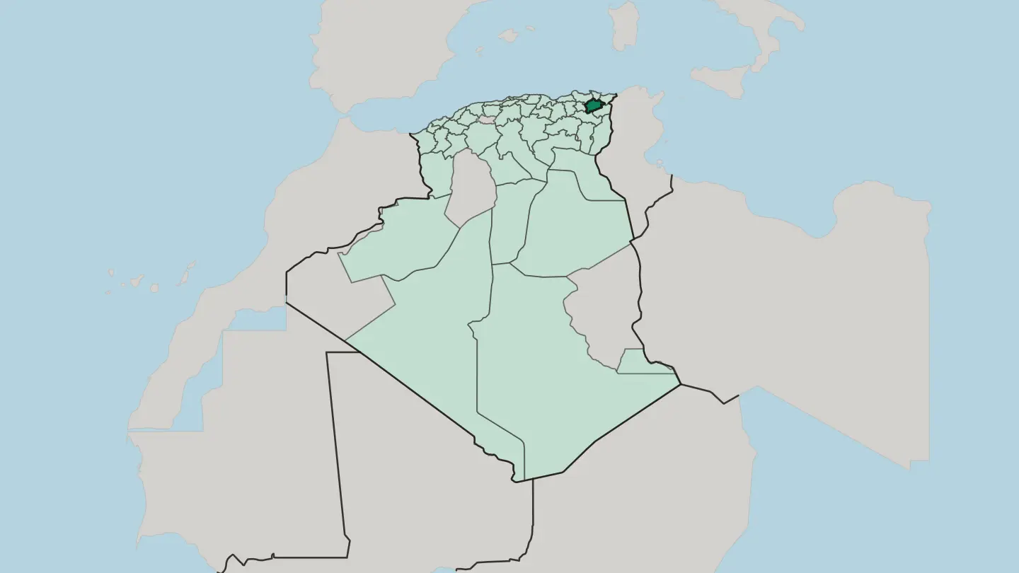
 Algeria
Wilaya de Jijel
Jijel Province lines Algeria's Mediterranean coast, where the Babors mountains drop into the sea along the cliff-cut Corniche Jijelienne.Towns & cities →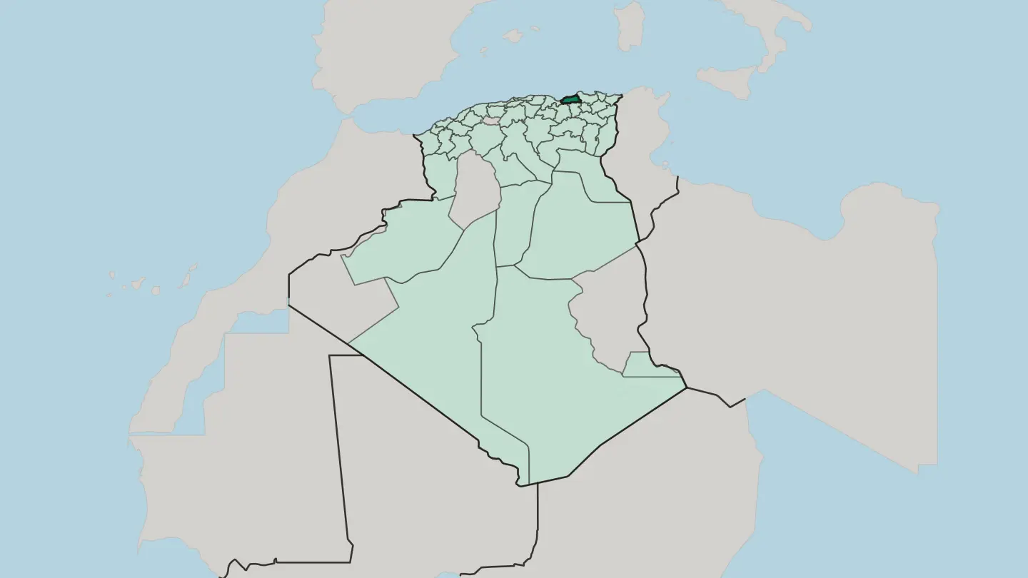 Algeria
Wilaya de Khenchela
Wilaya de Khenchela is the Aurès heartland of north-east Algeria: cedar-clad peaks around Djebel Chélia giving way to desert-edge steppe.Towns & cities →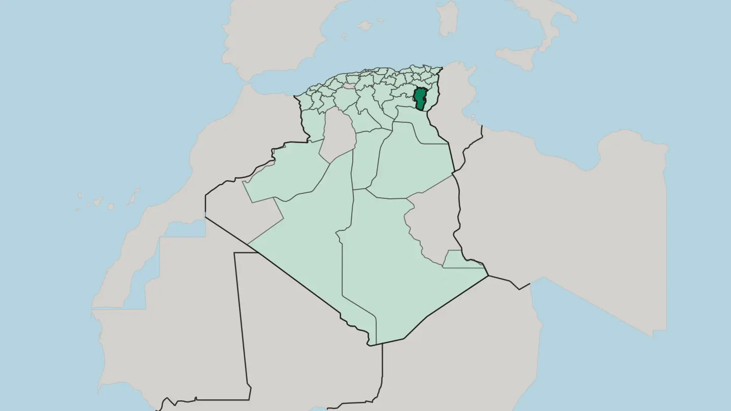
 Algeria
Wilaya de Laghouat
Laghouat Province runs from the Saharan Atlas and its palm oases down to open desert, anchored by the great Hassi R'Mel gas field.Towns & cities →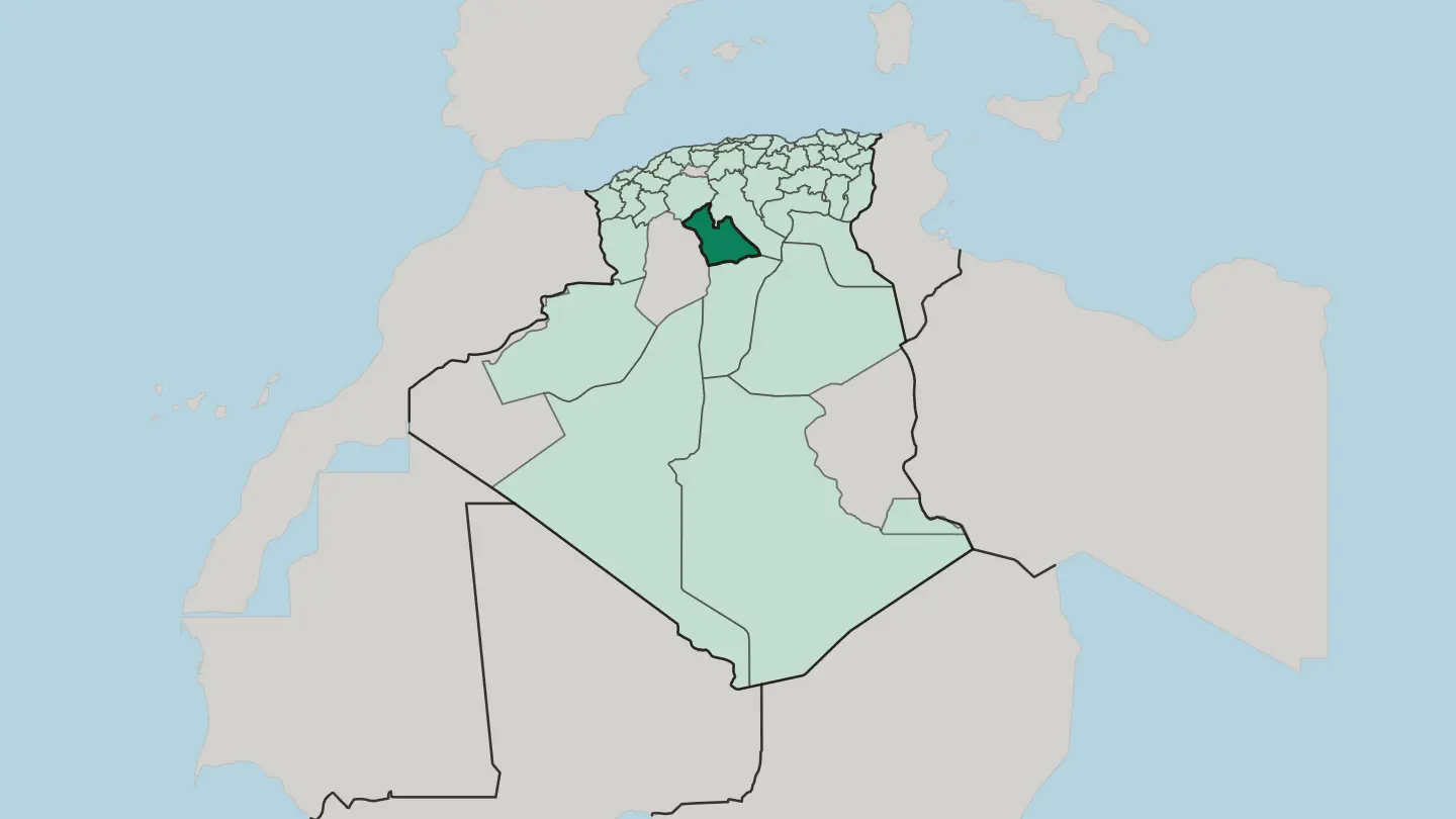
 Algeria
Wilaya de Mascara
Wilaya de Mascara is a wine-growing province of north-western Algeria, birthplace of Emir Abdelkader and site of the Bou Hanifia hot springs.Towns & cities →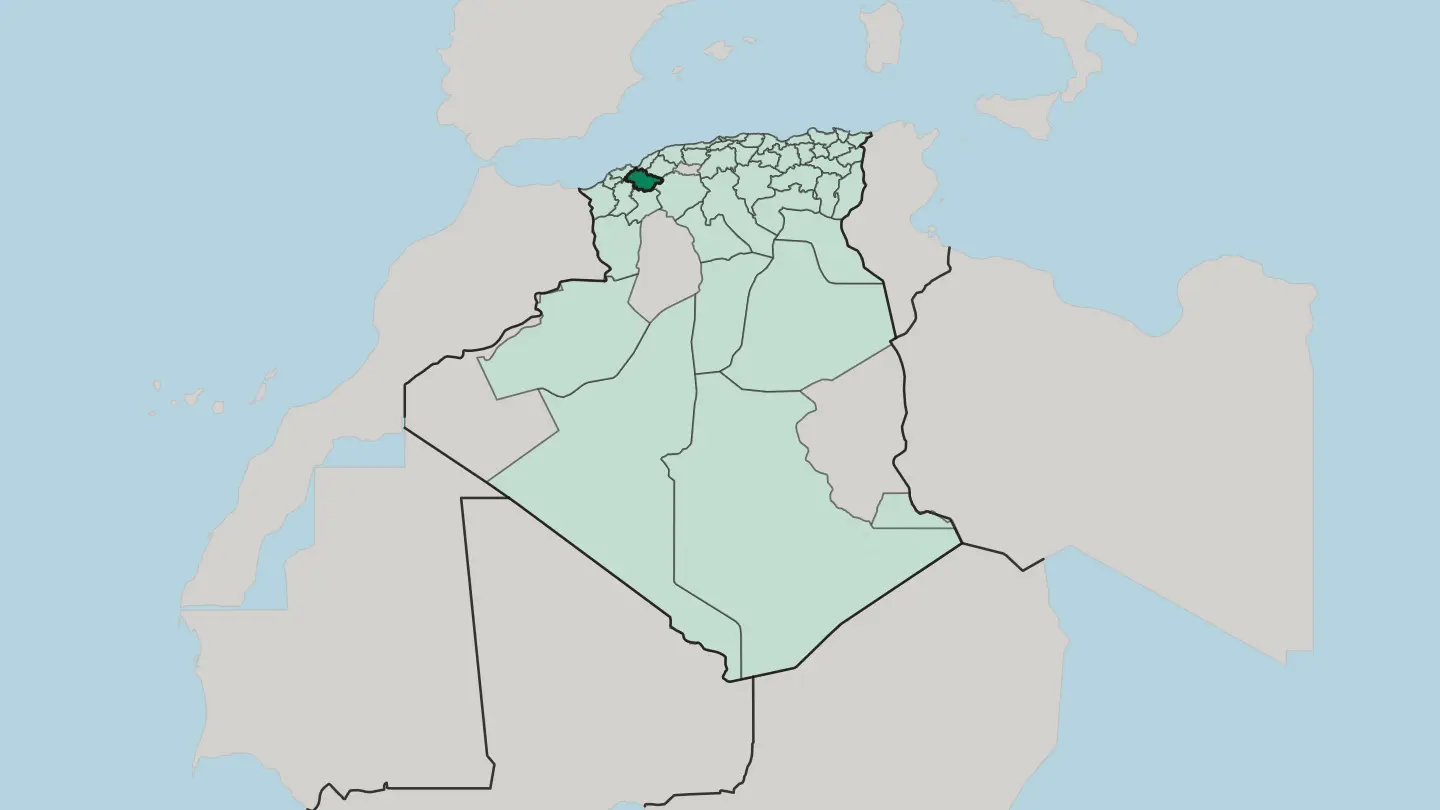
 Algeria
Wilaya de Mila
Mila province spreads across the hills and cereal plains west of Constantine, holding Algeria's largest dam and the Roman town of Milev.Towns & cities →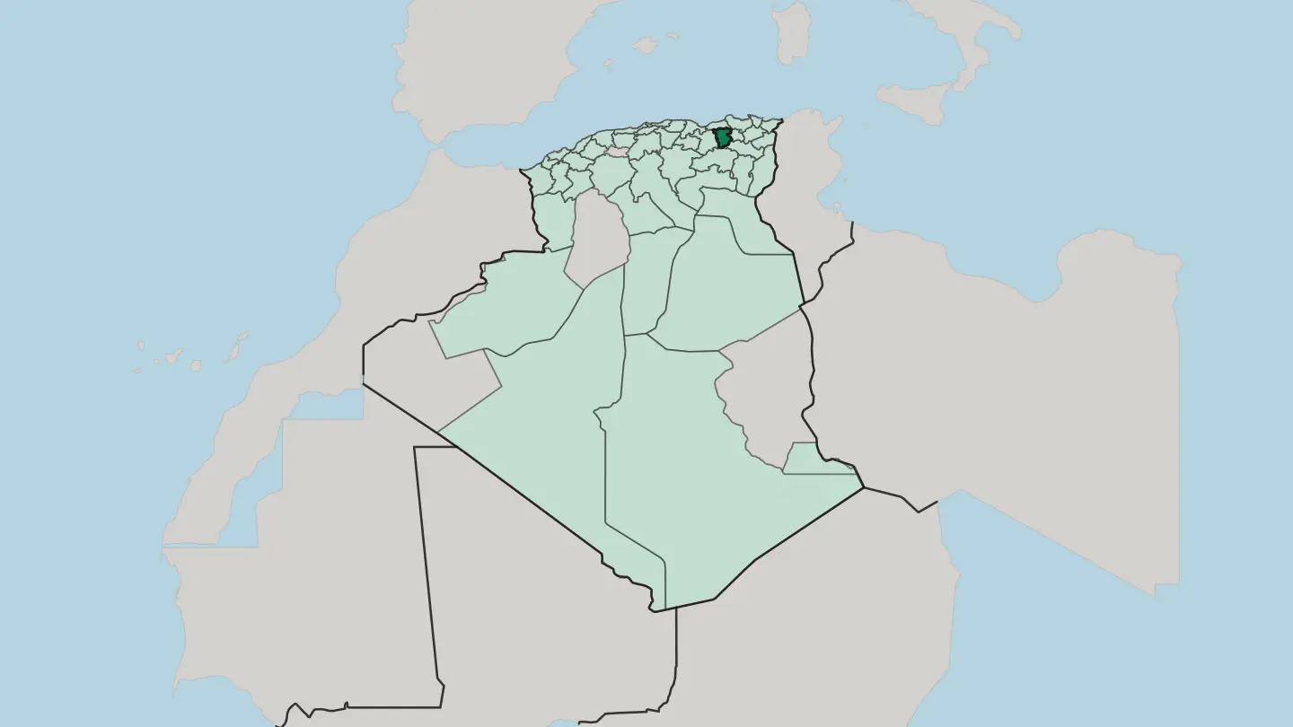 Algeria
Wilaya de Mostaganem
Wilaya de Mostaganem is a coastal province of north-western Algeria, strung along the Mediterranean where the Chelif River reaches the sea.Towns & cities →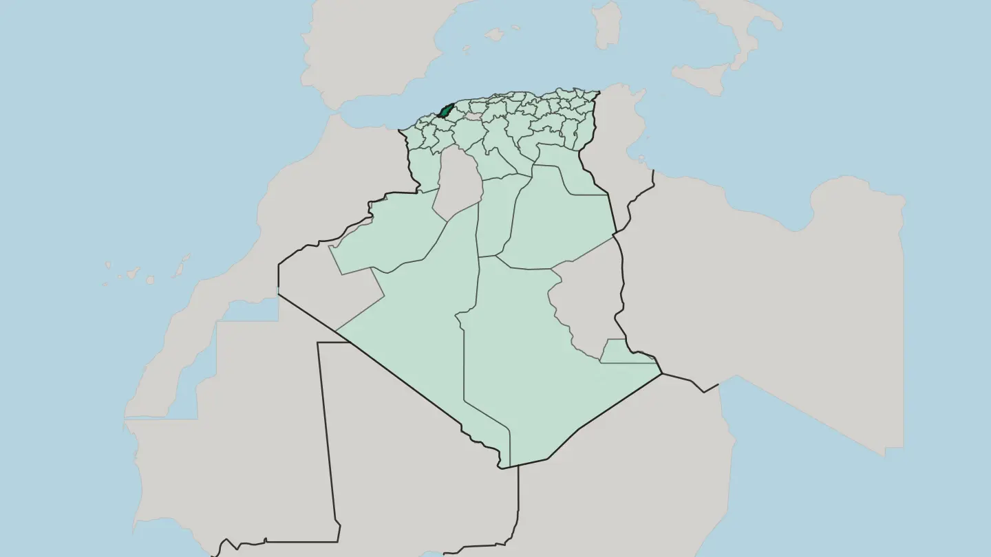
 Algeria
Wilaya de Médéa
Wilaya de Médéa is a highland province south of Algiers, where vineyard hills climb into the Titteri range of the Tell Atlas.Towns & cities →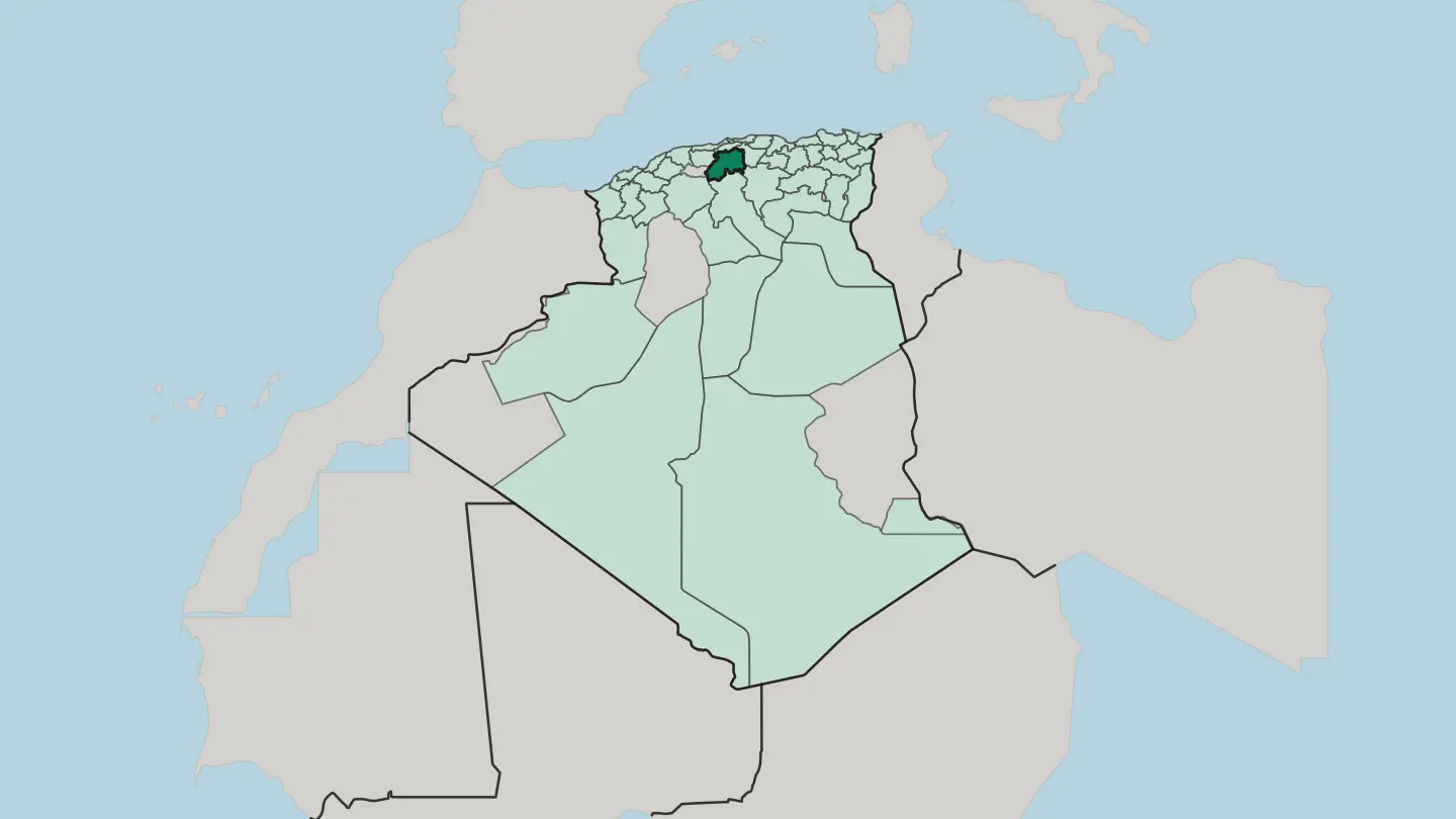 Algeria
Wilaya de Naama
The Wilaya de Naama is an Algerian province named for the town of Naâma, its landscape dominated by a large sabkha, with an airport at Mécheria.Towns & cities →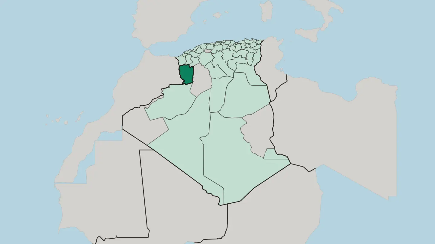
 Algeria
Wilaya de Ouargla
Wilaya de Ouargla is a Saharan province of eastern Algeria, a great date-palm oasis and the oil hub around the Hassi Messaoud field.Towns & cities →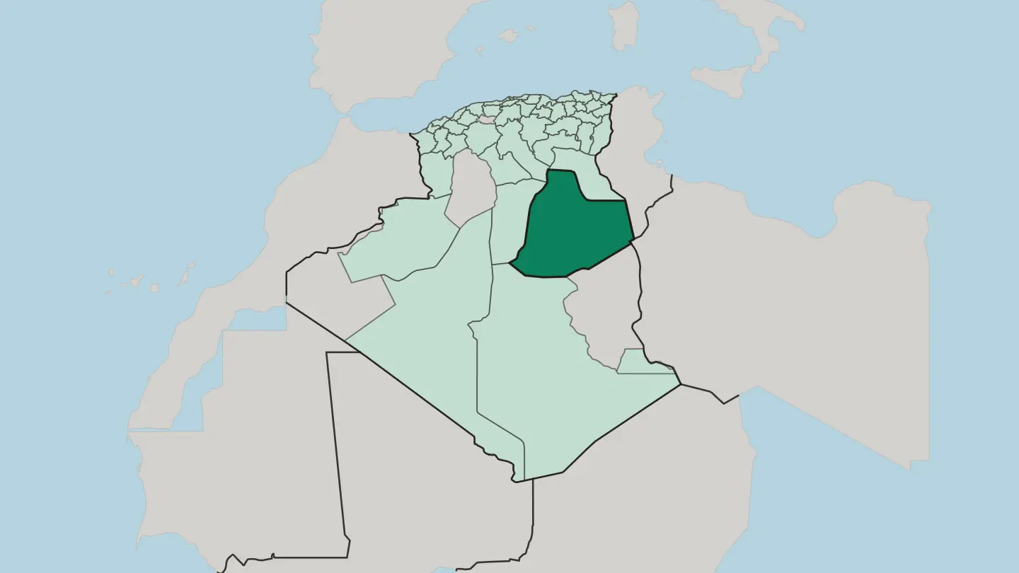 Algeria
Wilaya de Relizane
Wilaya de Relizane is a landlocked province of northwestern Algeria where the Oued Mina joins the Chéliff below the Dahra and Ouarsenis mountains.Towns & cities →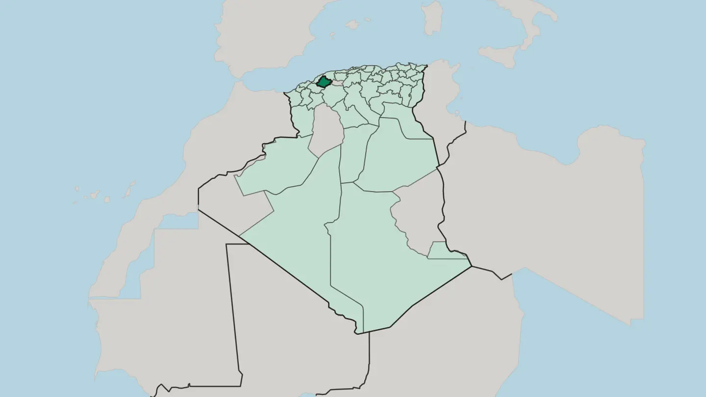
 Algeria
Wilaya de Saïda
A spring-fed province on Algeria's western High Plateaus, Wilaya de Saïda lifts wooded hills above the alfa steppe below the Tell Atlas.Towns & cities →
 Algeria
Wilaya de Sidi Bel Abbès
Sidi Bel Abbès is an inland wilaya of northwestern Algeria, its grid-planned capital set on the Oued Mekerra amid wheat plains and dry steppe.Towns & cities →
 Algeria
Wilaya de Skikda
A coastal province of north-eastern Algeria, where the port of Skikda gathers Mediterranean beaches, pine hills, and the ruins of Roman Rusicade.Towns & cities →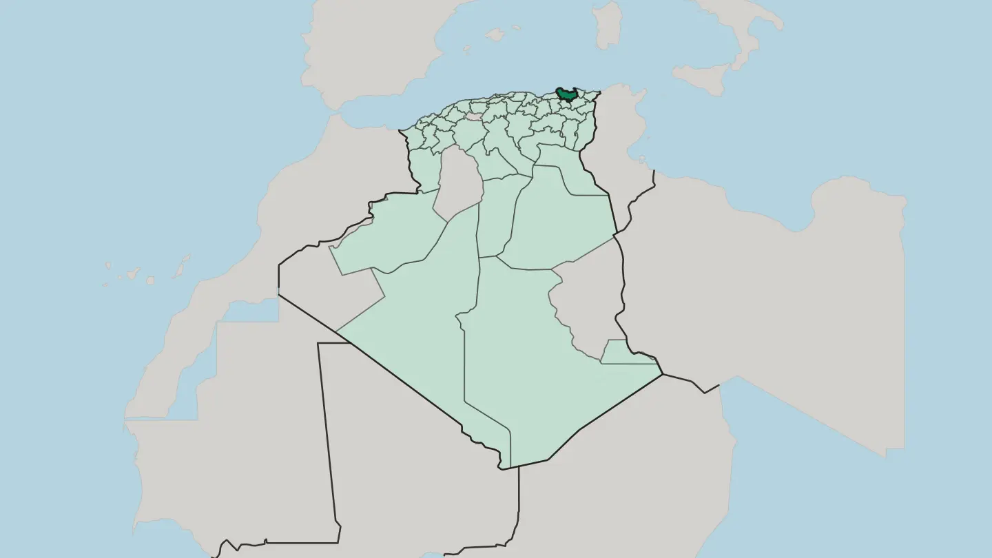 Algeria
Wilaya de Souk Ahras
Wilaya de Souk Ahras is a border province of north-eastern Algeria, ancient Thagaste, the birthplace of Saint Augustine in 354.Towns & cities →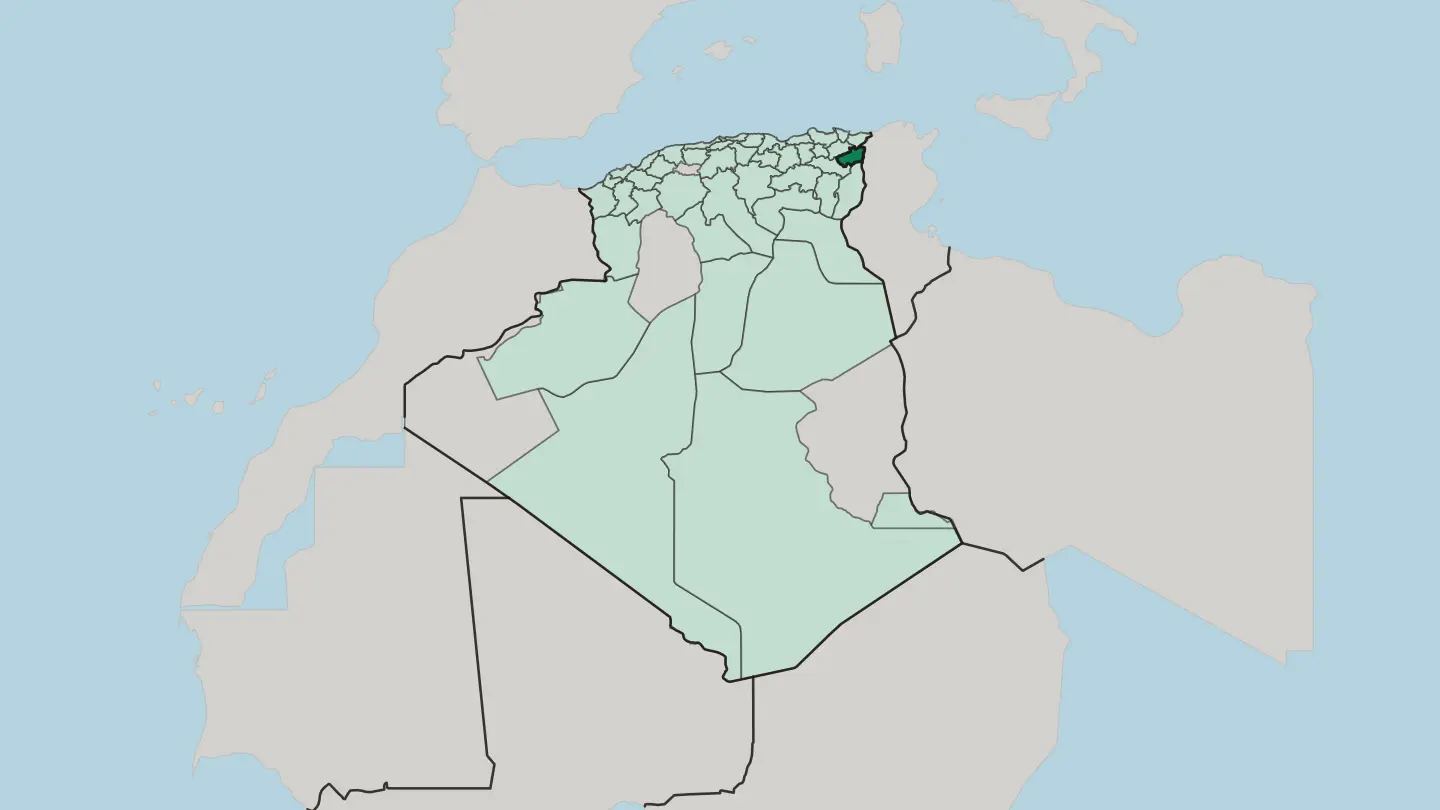 Algeria
Wilaya de Sétif
Sétif is a province on the High Plateaus of north-eastern Algeria, known for the Roman ruins of Djémila and snowy Berber highlands.Towns & cities →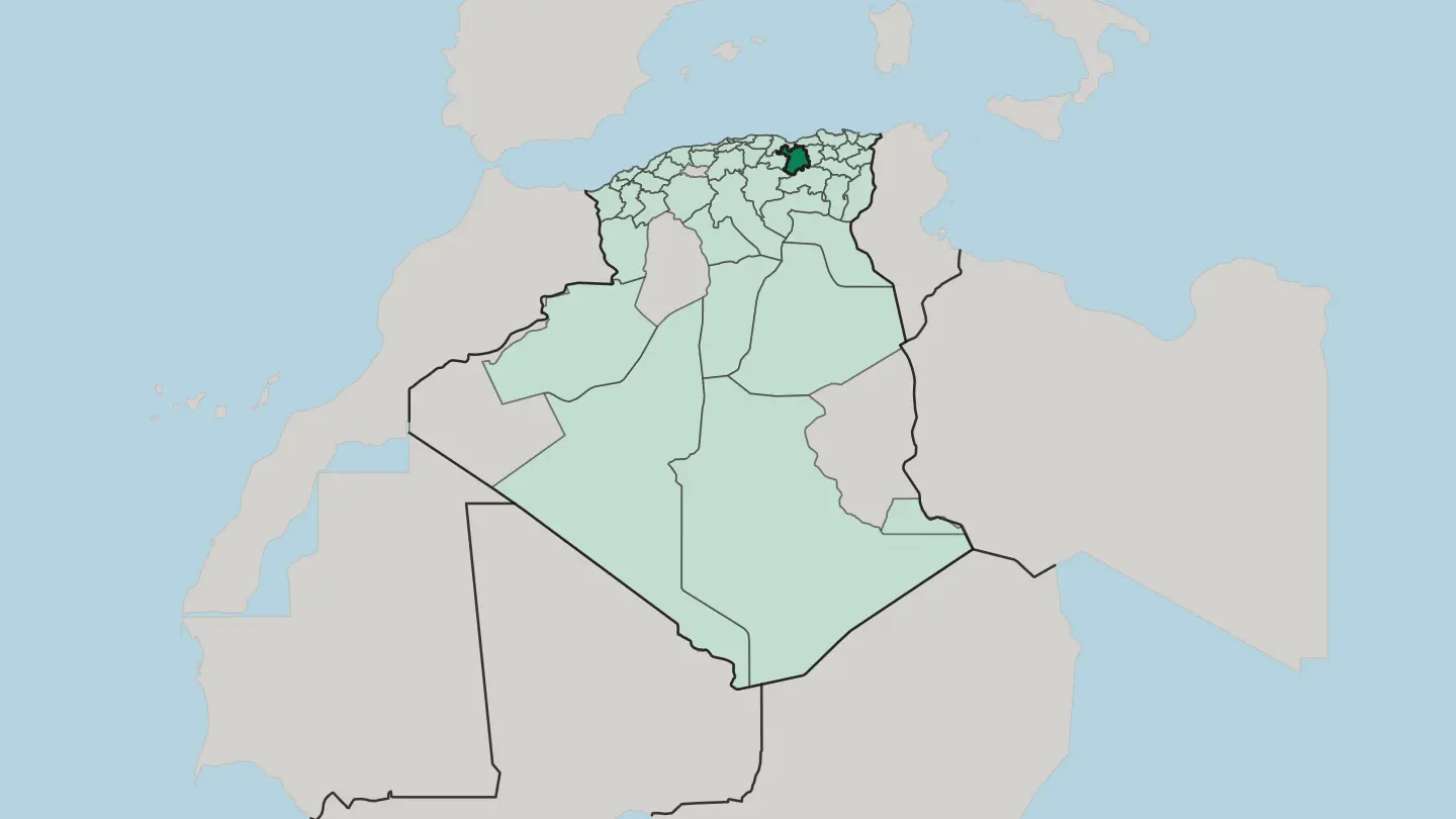 Algeria
Wilaya de Tamanrasset
Wilaya de Tamanrasset is Algeria's largest province, named for its seat and holding Ahaggar National Park and Tassili n'Ajjer National Park.Towns & cities →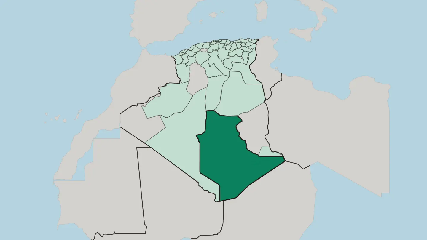 Algeria
Wilaya de Tipaza
Wilaya de Tipaza runs along Algeria's coast just west of Algiers, taking in Roman Tipasa, Mount Chenoua and the fertile Mitidja plain.Towns & cities →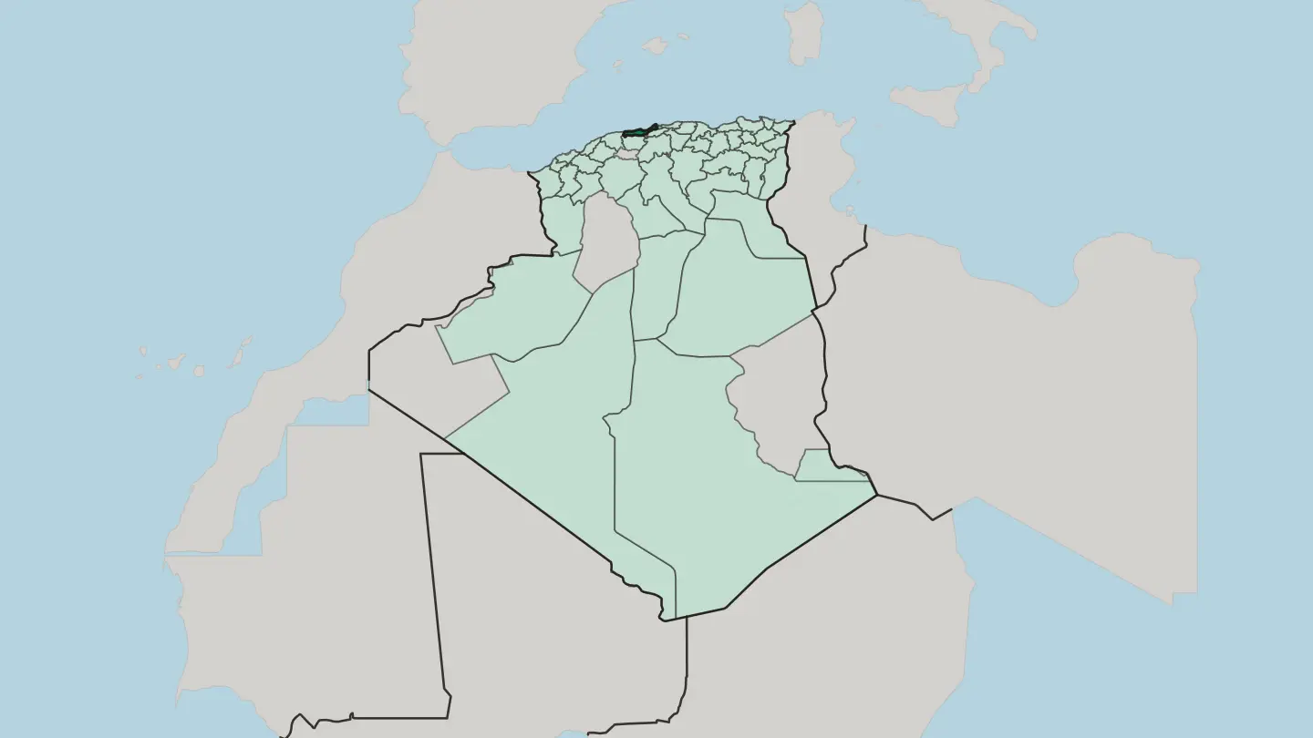 Algeria
Wilaya de Tizi Ouzou
Wilaya de Tizi Ouzou is the Kabyle heart of Algeria, running from the Djurdjura crest down the Sebaou valley to an 85-kilometre Mediterranean coast.Towns & cities →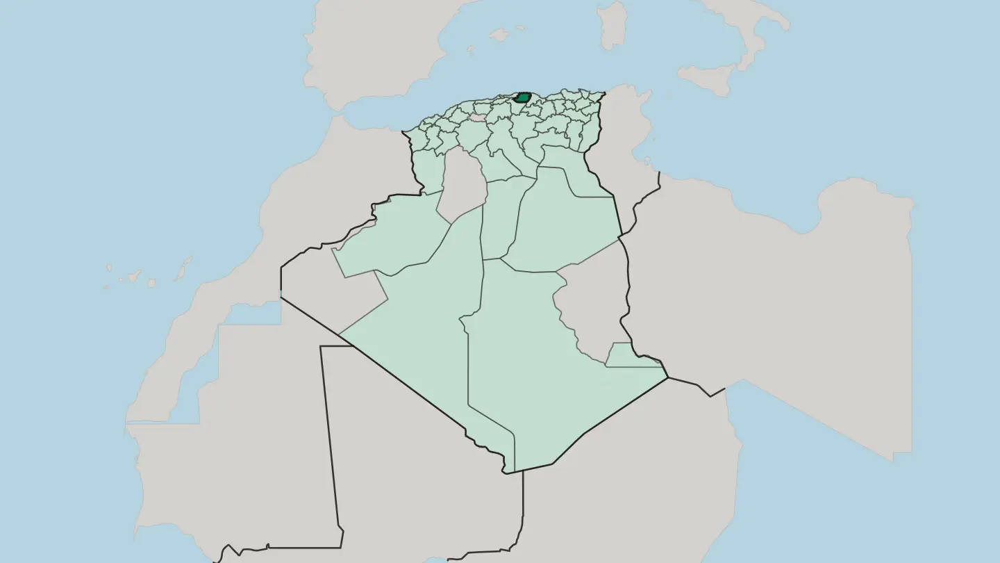 Algeria
Wilaya de Tlemcen
Wilaya de Tlemcen is a province in the far north-west of Algeria, its Zayyanid capital rising in the Tell Atlas above the Mediterranean coast.Towns & cities →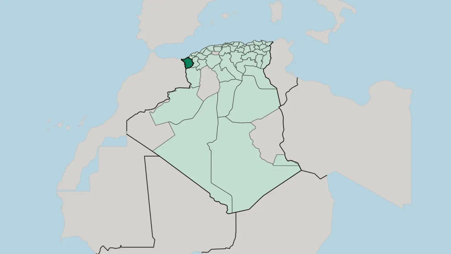 Algeria
Wilaya de Tébessa
Wilaya de Tébessa is a province of eastern Algeria: Aurès highlands and phosphate country holding the Roman ruins of Theveste.Towns & cities →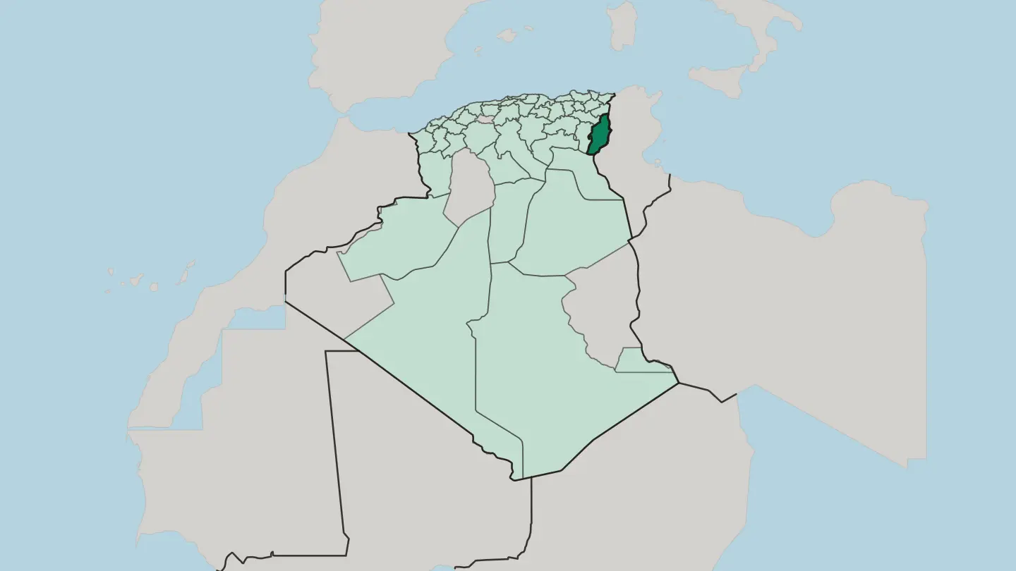 Algeria
Wilaya de tiaret kabas
Tiaret Province rolls across Algeria's High Plateaus, the steppe that cradled the Rustamid capital of Tahert and the Jedars tombs near Frenda.Towns & cities →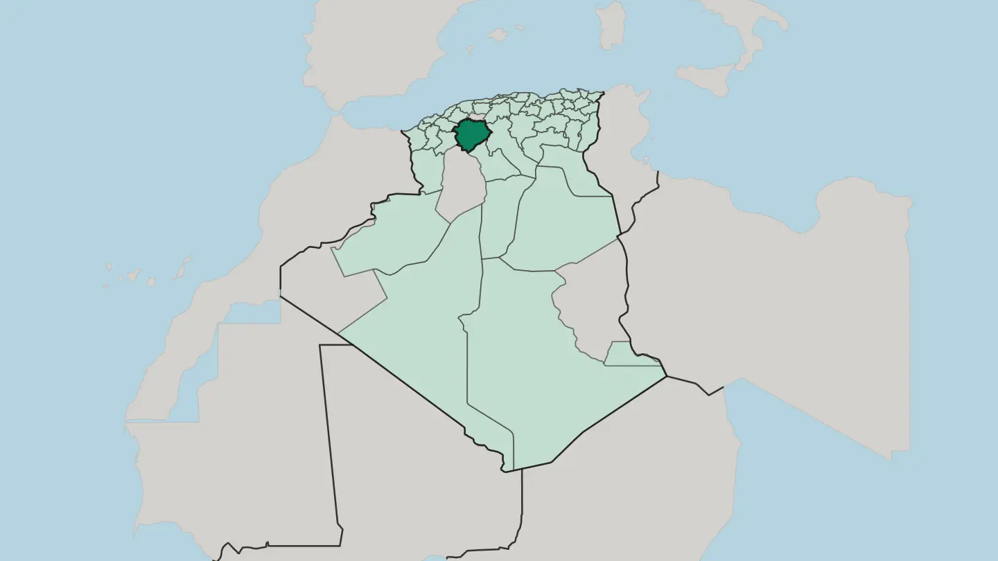 Algeria
Wilaya d’ Alger
Wilaya d'Alger is Algeria's smallest province by area, set on the Mediterranean coast and built around Algiers, the national capital.Towns & cities →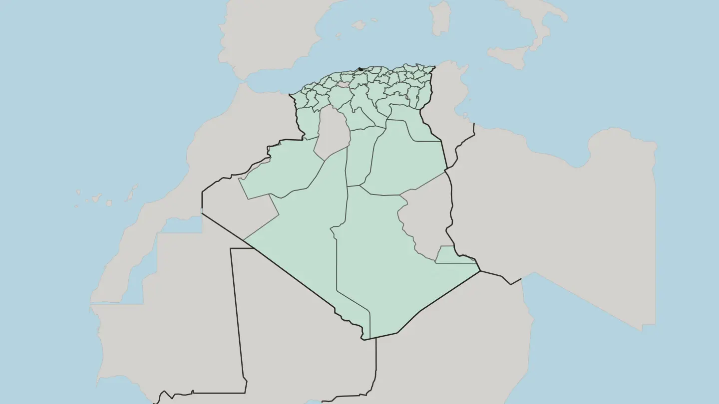
 Algeria1 city
El Menia
El Menia is an oasis town and district seat in Saharan Algeria, once called El Goléa, and the burial place of Charles de Foucauld.Towns & cities →Algeria1 cityTouggourt
Touggourt is a Saharan oasis city in Algeria, a former sultanate and district seat whose date palms edge the communes of Nezla and Tebesbest.Towns & cities →Explore by experience
Not sure which place? Start from how you want to travel.
About Algeria
Algeria is known first for its size and its two faces.
What is Algeria known for?
The largest country in Africa runs from a long Mediterranean coast in the north to the deep Sahara in the south, with mountains between. Its capital, Algiers, holds the country's busiest markets and its main port of arrival. Ancient ruins mark the land, traditional cuisine carries its kitchens, and the Maghreb setting ties Algeria to its North African neighbours.
The desert is the draw.
Where is Algeria?
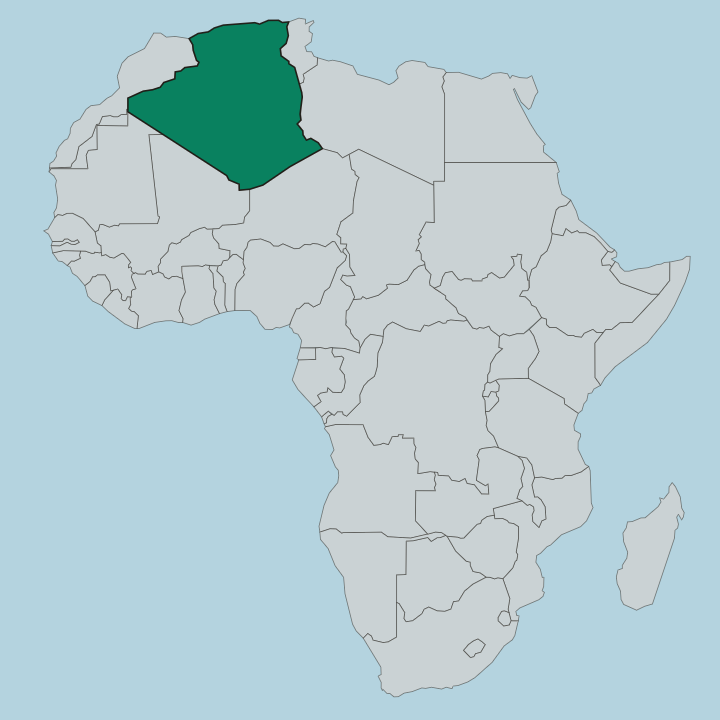
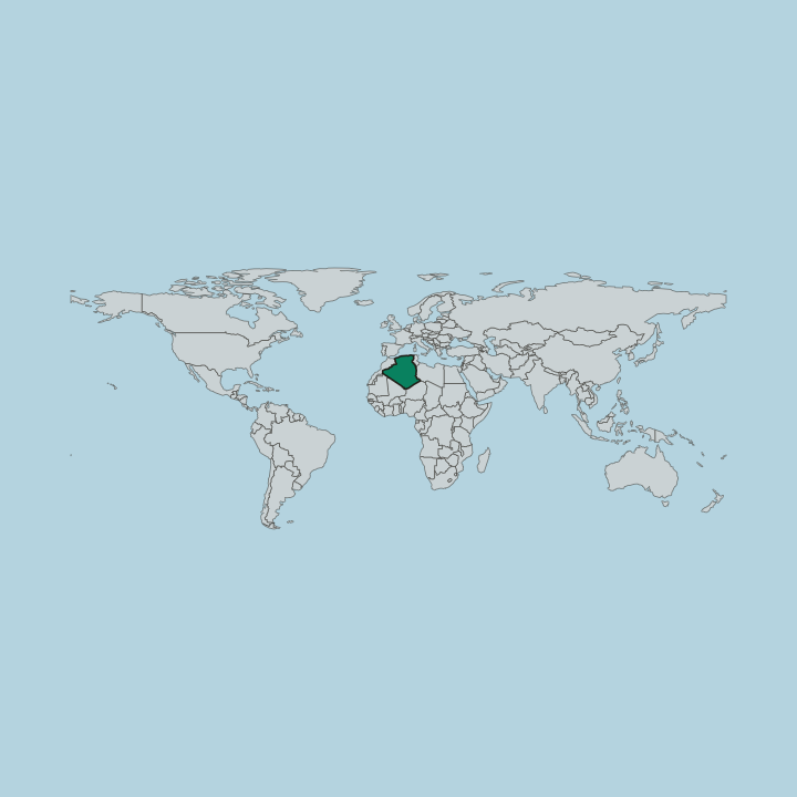
Algeria is the largest country in Africa, a vast block of the Maghreb in North Africa. Its shape is simple to picture. A long Mediterranean coast runs along the north, backed by mountain ranges that catch the sea's weather, and behind them the land dries and rises before giving way to the Sahara, which fills most of the country to the south.
The coast is where the cities gather, close to the water. Algiers, the capital, sits on this northern shore, while the great desert spreads far beyond the settled belt into the heart of the continent. Algeria's borders read like a map of the western Maghreb.
Tunisia lies to the northeast and Libya to the east, while Niger sits to the southeast. To the southwest the country meets Mali, Mauritania, and Western Sahara; Morocco closes the western side; and the Mediterranean Sea forms the whole northern edge. Few countries touch so many neighbours.
The Sahara covers the interior, a sea of sand and rock that reaches deep toward the centre of the continent, so that most Algerians live in the narrow northern strip between the mountains and the sea.
What is the history of Algeria?
Algeria's history is written across the Maghreb, the western edge of North Africa where the Mediterranean world met the Sahara. Ancient ruins still stand in the country. They mark the towns and trade routes of earlier peoples who settled the coast and the fertile northern belt, drawn by the same shore and mountains that still hold Algeria's cities.
The land between the sea and the desert has long been a crossroads, a place where routes from the Mediterranean met tracks running south into the Sahara. The modern country is young. Algeria became an independent republic in 1962, taking the formal name the People's Democratic Republic of Algeria, with Algiers as its capital.
The city on the northern coast has remained the seat of the state and the country's largest centre ever since. Much of the older story survives in stone rather than record, in the ancient ruins scattered through the north and in the desert routes of the Sahara. Algeria carries both: a deep past among the ruins of the Maghreb, and a national life dated from the founding of the republic.
What is Algeria like?
Algeria's culture is North African and firmly of the Maghreb. Arabic is the language of the country, spoken across the cities of the coast and the towns of the interior alike. Daily life leans on hospitality, a tradition that visitors meet quickly and remember, and on a kitchen of traditional cuisine built from the produce of the coast, the plains, and the desert edge.
The markets are where much of this comes together. In Algiers and other coastal centres, they carry the sounds, trade, and food of the country in one place. Two ways of living sit side by side.
Along the Mediterranean, urban life gathers in Algiers and the coastal cities, tied to the sea and to the wider Maghreb. Deep in the Sahara, a different rhythm holds, shaped by the desert, its routes, and its long distances. Between them run the northern mountains and the settled belt where most of the country lives.
The threads are shared, though. Arabic, the customs of hospitality, and a table of traditional cuisine tie the coast and the desert into a single North African culture, and the ancient ruins remind Algerians of the many peoples who shaped it.
What is the climate of Algeria?
Algeria's climate splits with its geography. The Mediterranean coast in the north sees mild, wet winters and warm, dry summers, the familiar rhythm of the sea's edge. Inland, the weather hardens.
Beyond the northern mountains the land turns arid, and the Sahara that fills the south is hot and dry through most of the year, with wide swings between day and night.
How do you get to Algeria?
Most travellers reach Algeria through Algiers. The capital sits on the Mediterranean coast in the north, and it serves as the country's main point of arrival by air and sea. From there the country opens up.
Roads and rail run along the northern belt between the coastal cities, while the Sahara to the south is reached overland from the north, across long distances that set Algeria apart as the largest country in Africa.
Good for
Updated September 2026