Where to stay in Keitele
The right area depends on your trip. Here's who each one suits — pick the place, then the hotel.
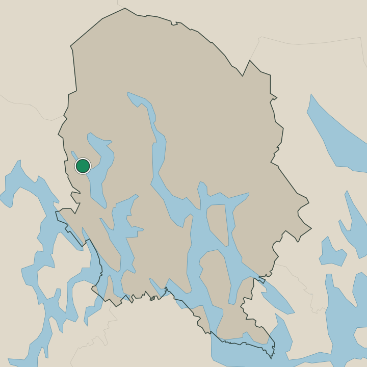
Keitele holds few beds, a small lakeland municipality of Pohjois-Savo where rooms are scarce and most lodging is the country sort. The village centre by the Keiteleen kirkko keeps what little there is, near the shops and the parish church, the easy base for a visitor wanting the heritage sites within reach. Beds are few here.
Out in the countryside, holiday cottages stand along the lake shores and among the forests of the municipality, the quiet base for walkers and anglers who want the water and the woods of eastern Finland at the door, near the old farm of the Aholan talomuseo and the heritage village around Toso. Cabins thin out fast. Many travellers instead sleep in the larger towns of Pohjois-Savo and drive in to see the Keiteleen kirkko, the Vanha pappila and the Rajakivi for the day.
Book the lake cabins ahead in summer, when the cottages around Keitele fill in the short warm season of the lakeland.
About Keitele
What is Keitele known for?
Keitele is known as a quiet farming and lakeland municipality of Pohjois-Savo, in the lakeland of eastern Finland. Water and forest shape it. The Keiteleen kirkko, a heritage church, marks the village centre, while the old farmstead of the Aholan talomuseo and the Vanha meijeri keep the rural past of a small dairy parish.
Off in the countryside, the heritage village around Toso gathers the Vanha pappila and the boundary stone of the Rajakivi, the marks of an old farming community set among the lakes of this corner of eastern Finland.
What are the main landmarks in Keitele?
The Keiteleen kirkko is the landmark of the village, a heritage church marking the centre of this small Pohjois-Savo parish in the lakeland of eastern Finland. Heritage runs through the countryside. The old farmstead of the Aholan talomuseo and the Vanha meijeri, the village's former dairy, recall its farming past, while the heritage settlement around Toso keeps the Vanha pappila, the old parsonage, and the boundary stone known as the Rajakivi, the worn marks of a rural community among the lakes of Keitele.
What is the history of Keitele?
Keitele grew as a farming parish of the Pohjois-Savo lakeland. Long a scattered community of farms and fishing shores among the waters of eastern Finland, the parish gathered its life around the Keiteleen kirkko, the church that marked the village centre, and the boundary stone of the Rajakivi recorded the old limits of the settlement. Farm and forest fed the people.
A dairy economy took hold in the rural century, now remembered in the Vanha meijeri, the village's former creamery, and in the old farmstead of the Aholan talomuseo that keeps the household of a Keitele farm. Keitele was chartered as its own municipality in 1879, cut from the older parishes of the region. The community kept its rural shape through the modern age, its centre by the Keiteleen kirkko and its outlying heritage gathered in the village around Toso, where the Vanha pappila, the old parsonage, still stands.
Lakes ringed the farms. The municipality held to farming and forestry as the country changed around it, and Keitele settled into its quiet role as a small lakeland community of Pohjois-Savo, its history written into the church, the dairy and the worn stones of eastern Finland.
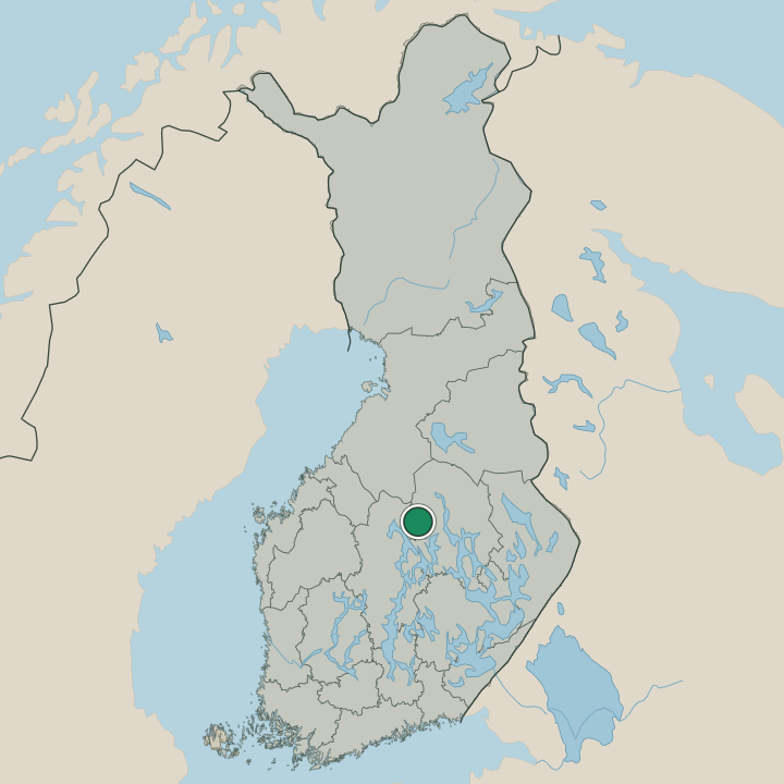
Where is Keitele?
Keitele lies in the lakeland of eastern Finland, in the Pohjois-Savo region where lakes and forest fill the broad municipality. Water lies on every side. The village centre gathers by the Keiteleen kirkko while the lakes and pinewoods spread out across the farming country around it, the shores dotted with cottages and the old heritage village of Toso set among the trees.
Farmland breaks the forest. Low ridges and cultivated ground run between the lakes of this corner of Pohjois-Savo, the quiet rural geography that has shaped Keitele since its parish days.
What is the climate of Keitele?
Keitele has a cold inland climate set by the lakeland of eastern Finland. Winters are long and snowed, the lakes of Pohjois-Savo freezing hard and the forests around the village holding the deep snow from autumn until the late thaw. Snow lies for months.
Summers are short and bright, the long northern daylight warming the water and the farmland around the Keiteleen kirkko through a brief growing season before the cold returns to this corner of the eastern Finnish lakeland.
How do you get to Keitele?
Keitele is reached by road through the lakeland of Pohjois-Savo, the regional roads carrying most traffic to the village centre by the Keiteleen kirkko. There is no station in the town. Visitors come by car or bus across the lake country of eastern Finland, the roads winding between the waters to reach the parish, while travellers from farther afield reach the larger towns of Pohjois-Savo by rail or air before driving the last stretch into the forests and lakes around Keitele.
Where Keitele sits
Boundaries © geoBoundaries (CC BY) & Wikidata (CC0); water & neighbours: Natural Earth.