The Gambia: Regions, Cities & Travel Guide
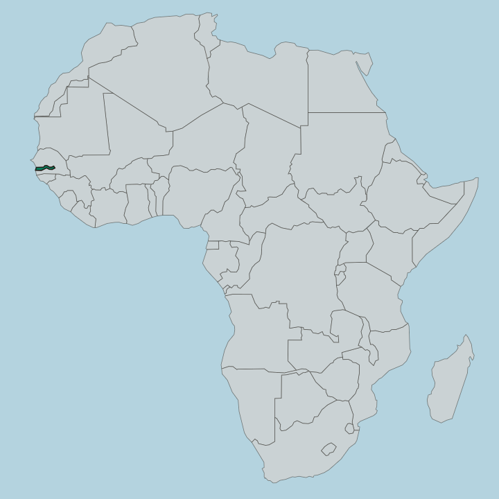
The Gambia is a slender West African country tracing the Gambia River inland from the Atlantic, ringed by Senegal, with Banjul at its mouth.
Hotel links are affiliate links: booking through them may earn us a commission, at no extra cost to you. It never affects how places are ranked. How this works


Top destinations in The Gambia
One city to start from, then drill into its areas and hotels.

 The Gambia
Serekunda
Serekunda is the largest city in the Gambia, part of the Kombos urban area beside Banjul, close to the Atlantic coast on the Gambia River.Where to stay →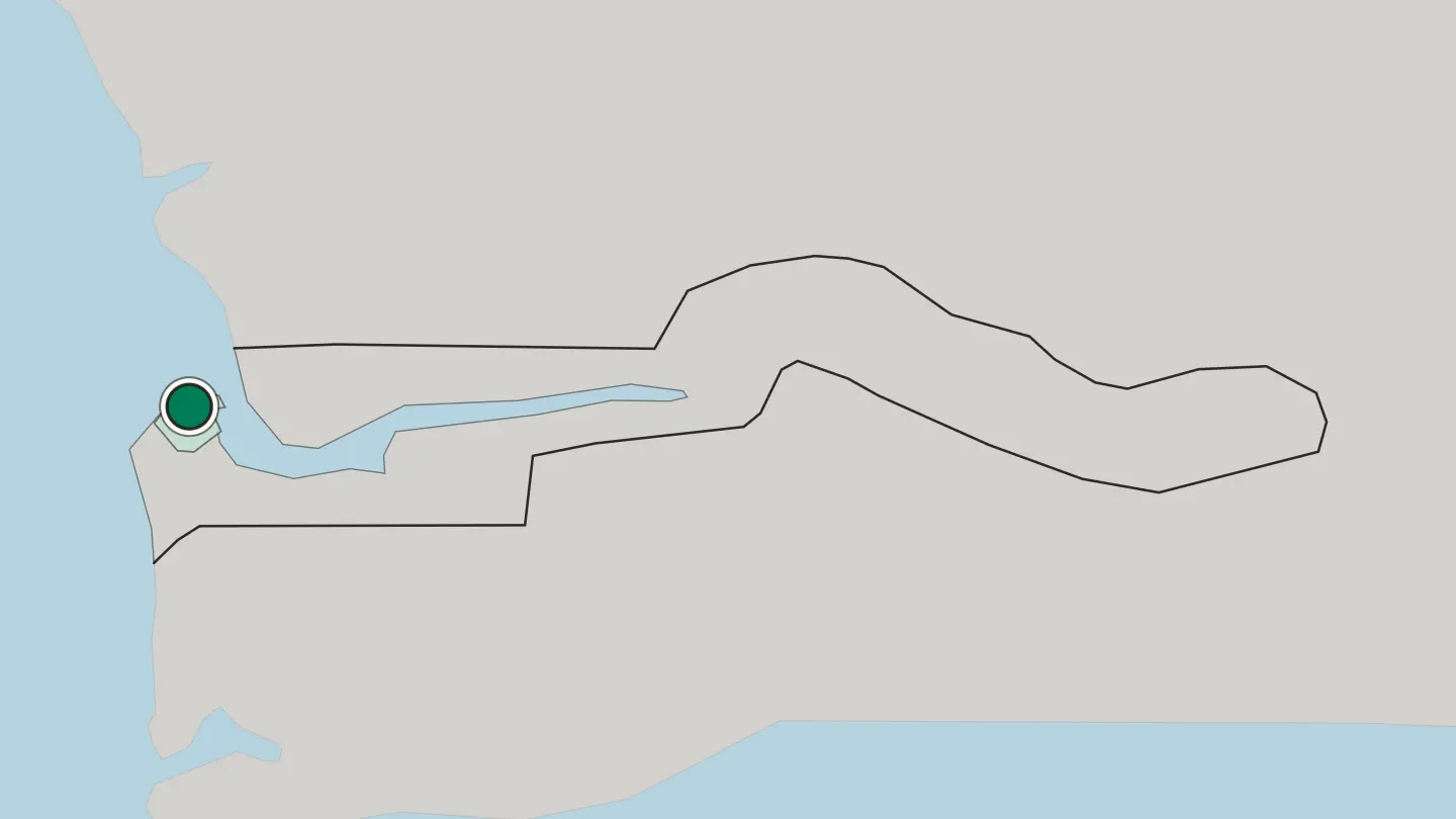
Hotel links are affiliate links: booking through them may earn us a commission, at no extra cost to you. It never affects how places are ranked. How this works
Browse by region
One region so far — open it to see its cities and towns.
About The Gambia
Locals call it the Smiling Coast.
What is The Gambia known for?
The Gambia is the smallest country in mainland Africa, and its whole shape follows the Gambia River from the Atlantic surf at Banjul deep toward the Senegalese interior. Two things draw travellers above all: the wide beaches of the Kombos around Kololi and Bakau, and the river itself, whose mangroves and creeks make it one of West Africa's great birdwatching corridors. Upstream sits Kunta Kinteh Island, the slaving fort that Alex Haley's Roots made famous the world over.
Where is The Gambia?
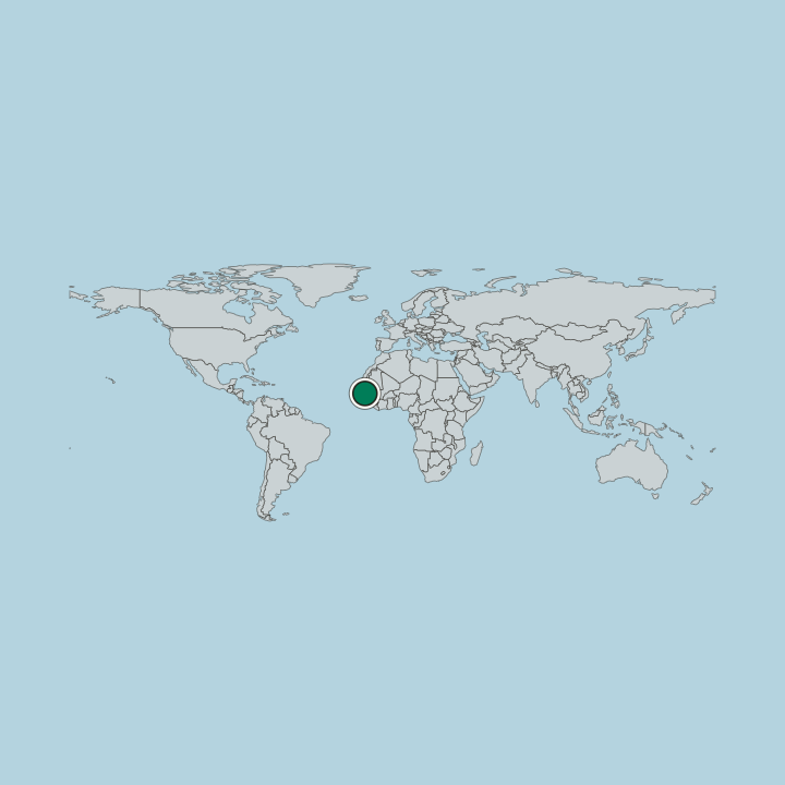
The Gambia is the smallest country on mainland Africa, and its outline is unlike any other. Its land follows the lower Gambia River for roughly 300 miles inland from the Atlantic, a ribbon rarely more than thirty miles wide, hemmed by Senegal on every side but the short ocean coast in the west. The river is the country.
It rises far away in the Fouta Djallon highlands of Guinea, but within Gambian territory it is a broad tidal waterway, navigable by ocean-going ships year round, fringed with mangrove creeks that turn brackish and then fresh as you travel east. Banjul, the capital, sits on St Mary's Island where the river meets the sea, guarding the estuary. Beyond the sandy Atlantic shore of the Kombos, the terrain is low and flat.
Gentle sandstone plateaus and floodplain rise only slightly above the water, and the swamps and rice fields along the banks give way to savanna woodland and groundnut farms further from the channel. Administratively the country divides into a handful of regions strung along the river, from Western near the coast through North Bank, Lower River, and Central River to Upper River at the Senegalese frontier. The whole nation is a single valley.
That valley, and the water running down it, shapes everything.
What is the history of The Gambia?
The Gambia River carried history in and out for centuries. Long before Europeans arrived, the valley lay within the reach of the Mali Empire, and Mandinka traders moved gold, salt, and kola along it. Portuguese caravels charted the estuary in the fifteenth century, and by the 1600s the river had become one of West Africa's cruellest funnels of the Atlantic slave trade.
The fort on James Island changed hands between the British, Dutch, and French as they fought for control of that traffic. Tens of thousands of captives passed downriver to the ships. That island now bears a different name.
In 2011 it was renamed Kunta Kinteh Island, after the ancestor Alex Haley traced to the nearby village of Juffureh in his 1976 book Roots, and it stands as a UNESCO World Heritage Site. Britain ran the territory as the Gambia Colony and Protectorate, governing the interior through its chiefs while power stayed with the governor at Bathurst, the town that later took back the name Banjul. Independence came on 18 February 1965, with Dawda Jawara as the country's first leader.
For a few years in the 1980s the country even joined Senegal in a loose confederation called Senegambia. The river remembers all of it.
What is The Gambia like?
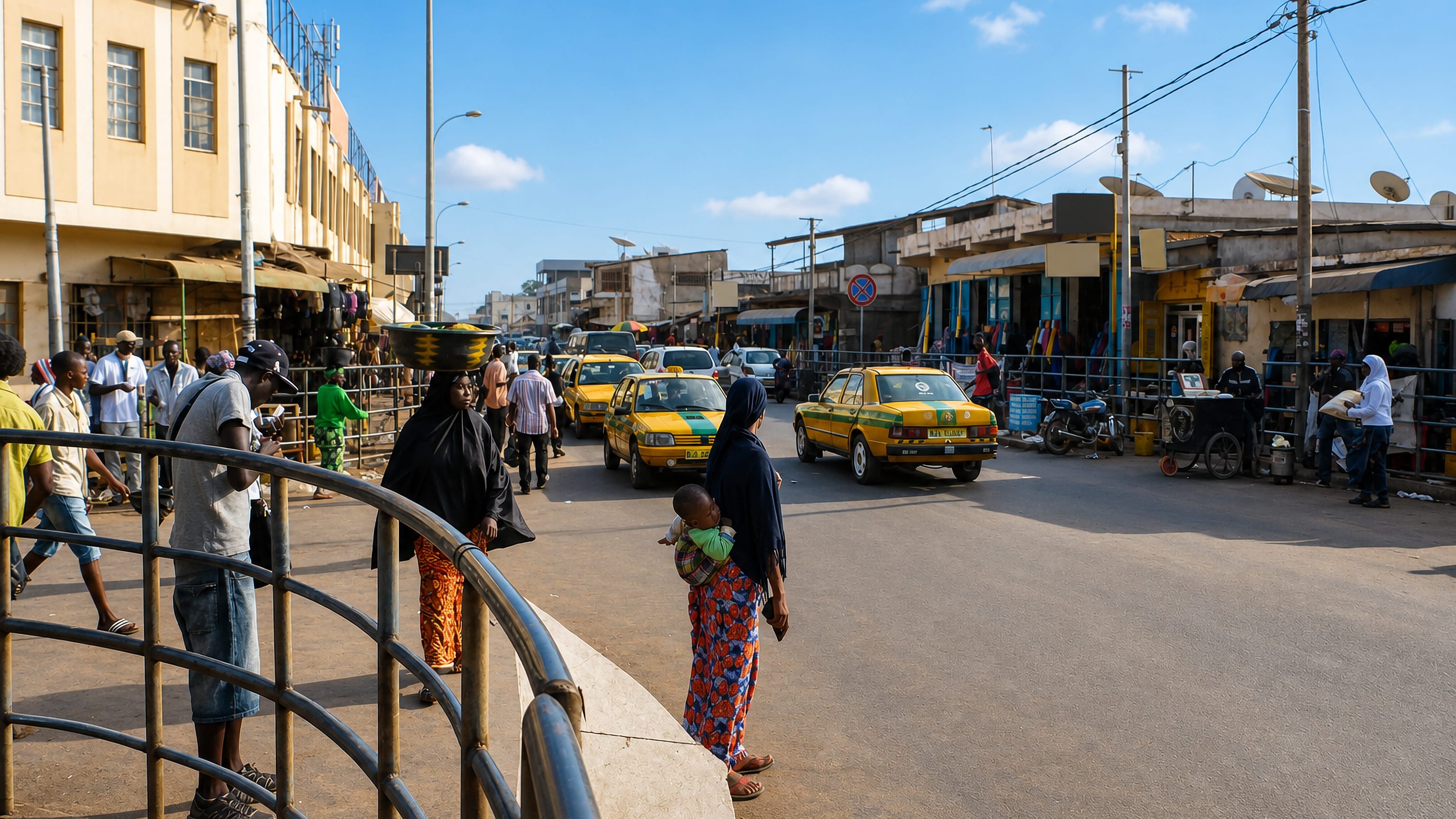
The Gambia packs a striking diversity of peoples into its narrow valley. The Mandinka form the largest group, alongside the Fula, Wolof, Jola, Serahule, and Serer, and it is common to hear several languages spoken in a single market. Music binds them together.
The kora, a twenty-one-string harp-lute plucked by hereditary griot families, carries praise songs and genealogies that reach back generations, and Mandinka drumming sets the pace of weddings, naming ceremonies, and festivals up and down the river. The kitchen tells the same layered story. Domoda, a groundnut stew thickened with peanuts and served over rice, is a Mandinka staple, while benachin, the one-pot dish of rice cooked with fish and vegetables, and Wolof yassa smothered in onions and lemon fill plates from Serekunda to the eastern villages.
Islam shapes daily life for most Gambians, its calendar marking the year. Fishing pirogues, tie-dyed cloth, and the wrestling matches that pull whole villages to the ring all belong to the same everyday culture. Warmth toward strangers is a point of national pride.
It is why the country calls itself the Smiling Coast, and the phrase is not empty marketing.
What is the climate of The Gambia?
The Gambia has a hot tropical climate ruled by two seasons. A long dry spell runs from November to May, when the Harmattan wind carries Saharan dust and the coast around Banjul stays warm and rainless. The wet season arrives with the summer monsoon from June to October, and August is the heaviest month for downpours along the river.
Sunshine is near-constant in the dry months. That reliable winter dryness is exactly why European travellers fill the Kombos beaches from December onward.
How do you get to The Gambia?
Nearly everyone flies into Banjul International Airport at Yundum, a short drive inland from the coastal resorts. Seasonal charter and scheduled flights link it to Britain and northern Europe, feeding the winter beach traffic to Kololi and Bakau. Overland routes come in from Senegal, since the country shares no other land border, and travellers crossing by road often use the ferry or the newer bridge over the Gambia River near Banjul.
Once inside, the river doubles as a highway, with boats running upstream toward Janjanbureh. Distances here are short by African standards.
Good for
Updated September 2026