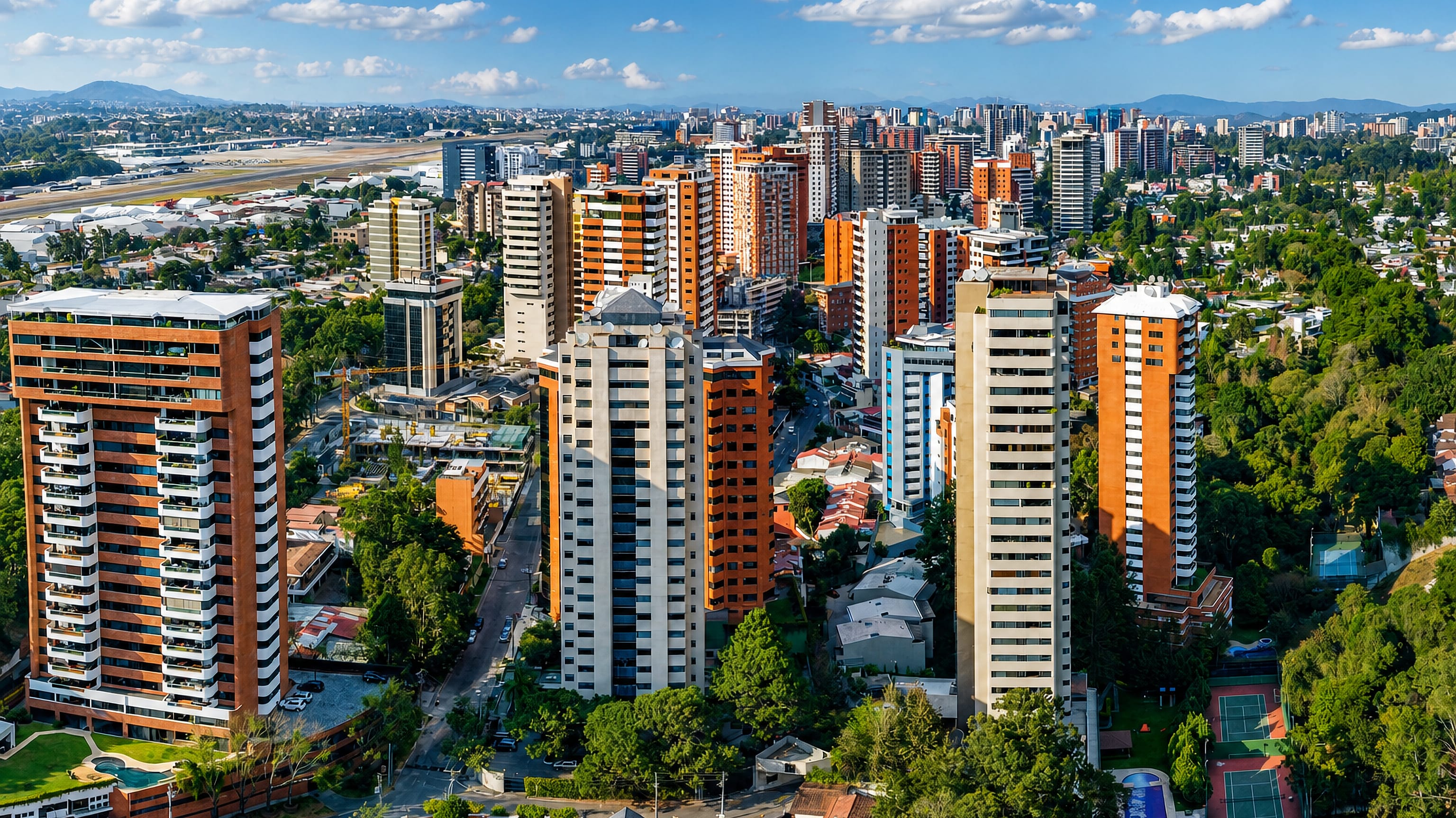
Guatemala: Regions, Cities & Travel Guide
Guatemala is a country in northern Central America, its volcanic highlands and Petén jungle ruled for centuries by the Maya.
Hotel links are affiliate links: booking through them may earn us a commission, at no extra cost to you. It never affects how places are ranked. How this works


Top destinations in Guatemala
Cities to start from, then drill into areas and hotels.

 Guatemala
Guatemala City
Guatemala City, called Guate, is the capital of Guatemala, spread over the Valle de la Ermita with Kaminaljuyu inside its limits.Where to stay →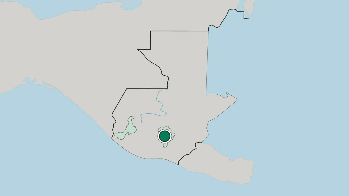
 Guatemala
Quetzaltenango
Quetzaltenango, founded in 1524, gives its name to the Departamento de Quetzaltenango in Guatemala and stands in the country below Cerro Quiac.Where to stay →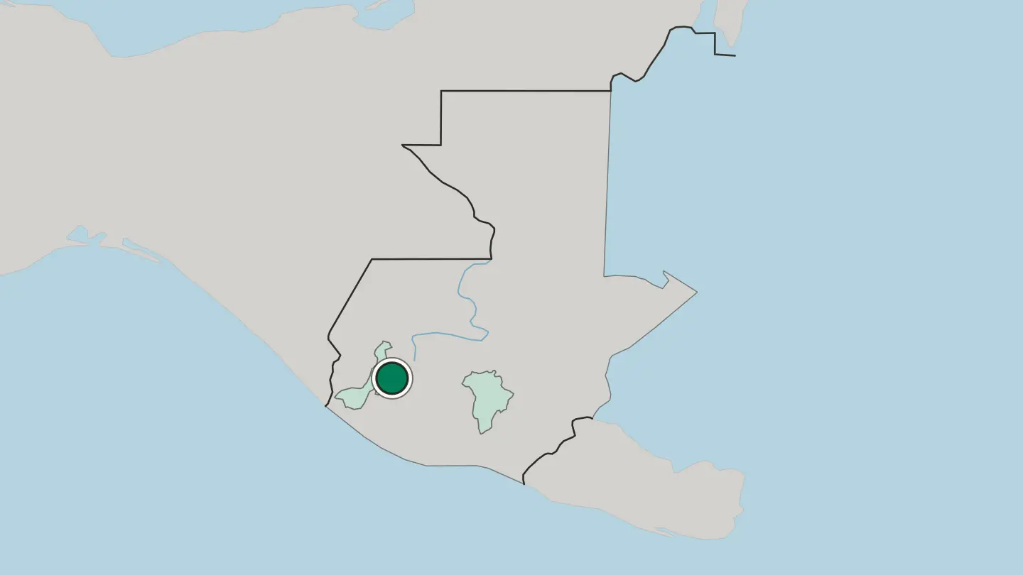
Hotel links are affiliate links: booking through them may earn us a commission, at no extra cost to you. It never affects how places are ranked. How this works
Regions of Guatemala
Guatemala
Departamento de Guatemala
Departamento de Guatemala is one of the 22 departments of Guatemala, built around Guatemala City, its capital and the country's.Towns & cities →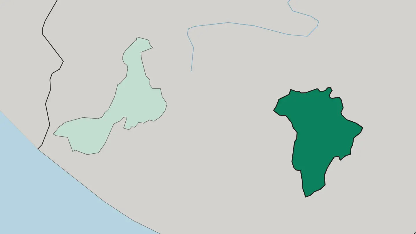 Guatemala
Departamento de Quetzaltenango
Departamento de Quetzaltenango is a mountainous department of Guatemala created in 1845, centred on the city of Quetzaltenango and the Samalá River.Towns & cities →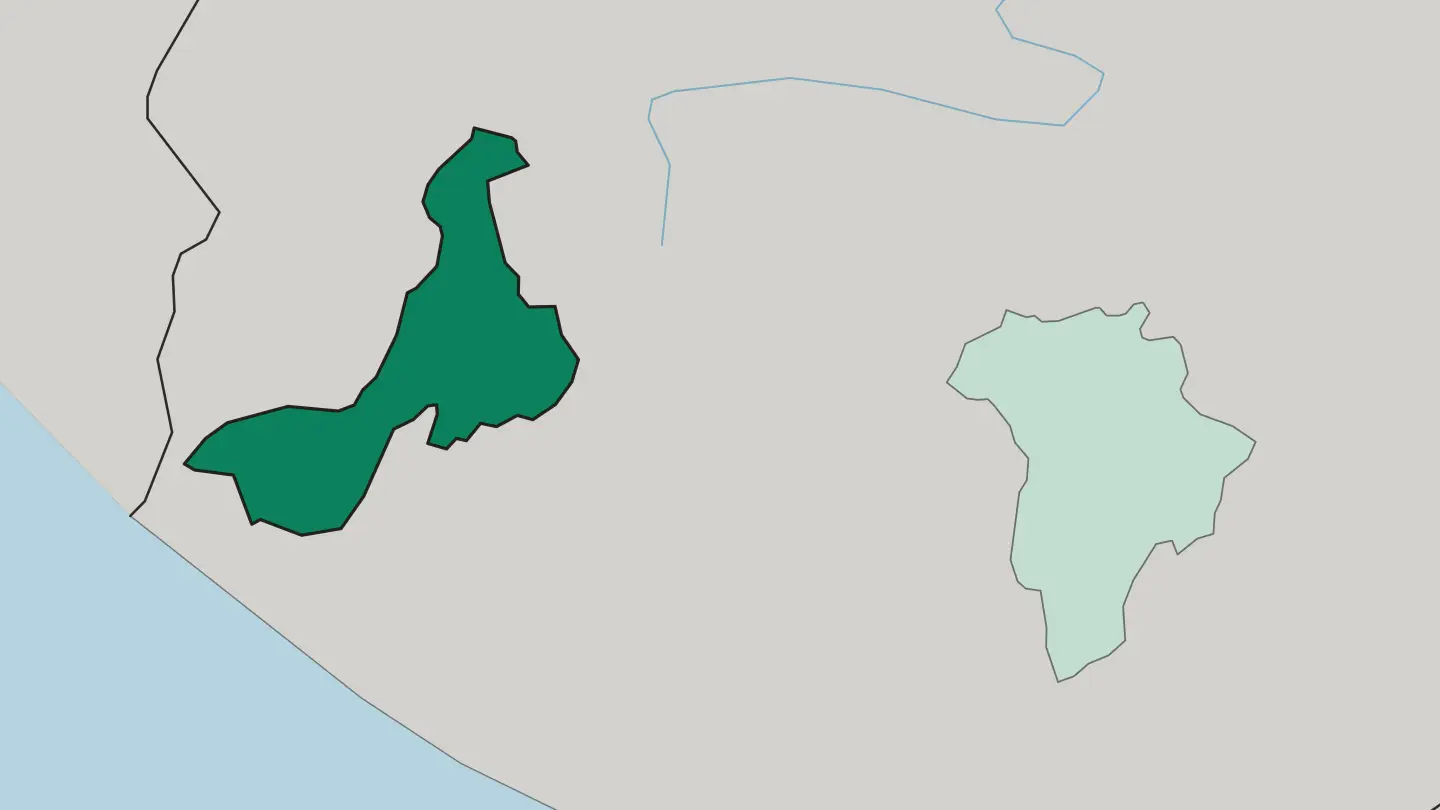
About Guatemala
Guatemala is best known for the Maya.
What is Guatemala known for?
Their tallest surviving pyramids rise above the rainforest at Tikal, in the northern Petén, and their descendants still fill the market at Chichicastenango. Volcanoes shape the rest of the country. Antigua Guatemala, the old colonial capital, sits ringed by cones, and the crater lake of Atitlán mirrors three more.
Coffee grows on the slopes above them.
Where is Guatemala?
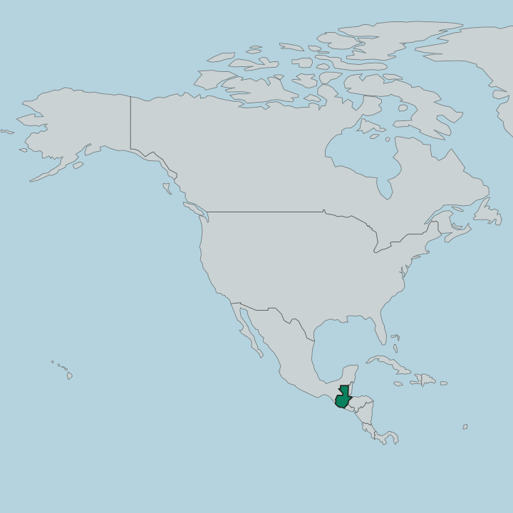
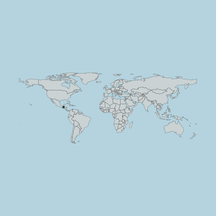
Guatemala occupies the neck of northern Central America, bordered by Mexico to the north and west, Belize to the north-east, and Honduras and El Salvador to the south-east. The land divides into three. A broad volcanic spine, part of the Sierra Madre de Chiapas, crosses the south and holds the Guatemalan Highlands, a run of high valleys enclosed by mountains where most of the population lives and where Guatemala City, the capital, and Quetzaltenango stand.
Volcán Tajumulco tops it. At more than 4,000 metres it is the highest point in Central America, one of a chain of cones that includes the active Volcán de Fuego and Pacaya near the capital. Below the mountains, a fertile plain runs 25 miles wide down to the Pacific coast in the south, planted with sugar and cattle.
North of the highlands the ground drops away entirely. The department of Petén spreads out as flat limestone jungle across a corner of the Yucatán Peninsula, the same platform Guatemala shares with Mexico and Belize. Water gathers in a few great basins.
The crater lake of Atitlán sits among volcanoes in the west, Lake Izabal drains toward the Caribbean in the east, and the Motagua River, the country's longest, runs from the highlands down to the Gulf of Honduras. From rainforest to volcano summit, the relief is extreme.
What is the history of Guatemala?
Guatemala's story begins with the Maya, whose city-states rose across these highlands and the Petén jungle more than two thousand years ago. Tikal was among the greatest of them, a capital of pyramids and plazas that traded and warred with rivals for centuries before the lowland cities were abandoned. Spanish rule came hard and late.
Pedro de Alvarado began the conquest in 1524, playing Maya kingdoms against one another, yet the last independent Maya city held out in the Petén until 1697. Old diseases did what armies could not, killing much of the native population within a generation. For three centuries the country was governed from the colonial capital that is now Antigua Guatemala, until earthquakes forced the seat of power to move.
Independence from Spain came in 1821, shared at first with the rest of Central America before Guatemala stood alone. The twentieth century brought a long shadow. A civil war ground on from 1960 to 1996, falling hardest on the Maya of the highlands, before peace accords finally closed it.
The past is not buried here. It endures in the ruins, the languages, and the market towns.
What is Guatemala like?
Guatemala carries the deepest living Maya culture in the Americas. More than twenty Mayan languages are still spoken alongside Spanish, and in highland towns the old 260-day ritual calendar is kept beside the Catholic one. Weaving tells the story plainly.
Each community weaves its own patterns and colours into the huipil, so a woman's dress signals the town she comes from, and the markets at Chichicastenango and the villages of Lago de Atitlán spread these textiles out by the hundred. Maize sits at the centre of the table. It becomes the tortillas and tamales eaten everywhere, and the national dishes, the meaty stew of pepián and the plantain-and-fruit jocón, build on that base.
Faith blends as thoroughly as language. In Antigua Guatemala the Holy Week processions carpet the streets with dyed sawdust, while in the highlands Catholic saints share altars with older Maya spirits. The marimba, a wooden xylophone that Guatemalans claim as the national instrument, still sets the rhythm at festivals from the capital to the smallest village square.
The quetzal, the long-tailed forest bird that gives the currency its name, stands as the emblem of the nation and of liberty. One country holds many peoples, and the seams still show.
What is the climate of Guatemala?
Altitude decides the weather in Guatemala, not the calendar. The highlands around Guatemala City, Antigua Guatemala and Lago de Atitlán stay mild and spring-like the year round, cool enough for a jacket after dark and warm by day. The name locals use says it best.
They call it the land of eternal spring. Down on the Pacific plain and across the Petén lowlands the air turns hot and humid, tropical in full. A rainy season runs from May to October, when afternoons bring short heavy downpours before clearing.
The dry months are the easiest for travel.
How do you get to Guatemala?
Almost everyone flies into Guatemala City. La Aurora, the main airport, sits inside the capital and handles the international arrivals, with a smaller strip near Flores serving the Petén and Tikal. From the airport most travellers head straight for higher ground.
Antigua Guatemala lies about an hour away by shuttle, and Lago de Atitlán a couple of hours beyond it. Long-distance buses and tourist shuttles knit the highland towns together, while a domestic hop north cuts the long haul to the jungle. Roads climb and twist.
Plan for slow going.
Good for
Updated September 2026