Guyana
Demerara-Mahaica Region, Guyana — Towns & Travel Guide


Demerara-Mahaica is the coastal region of Guyana that holds Georgetown, set between the Demerara and Mahaica rivers.
Find your area →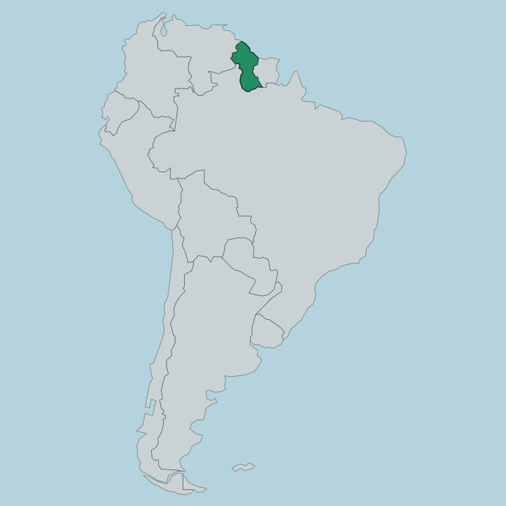
Towns & cities in Demerara-Mahaica Region
Pick a town or city — each links to where to stay.
 Guyana
Georgetown
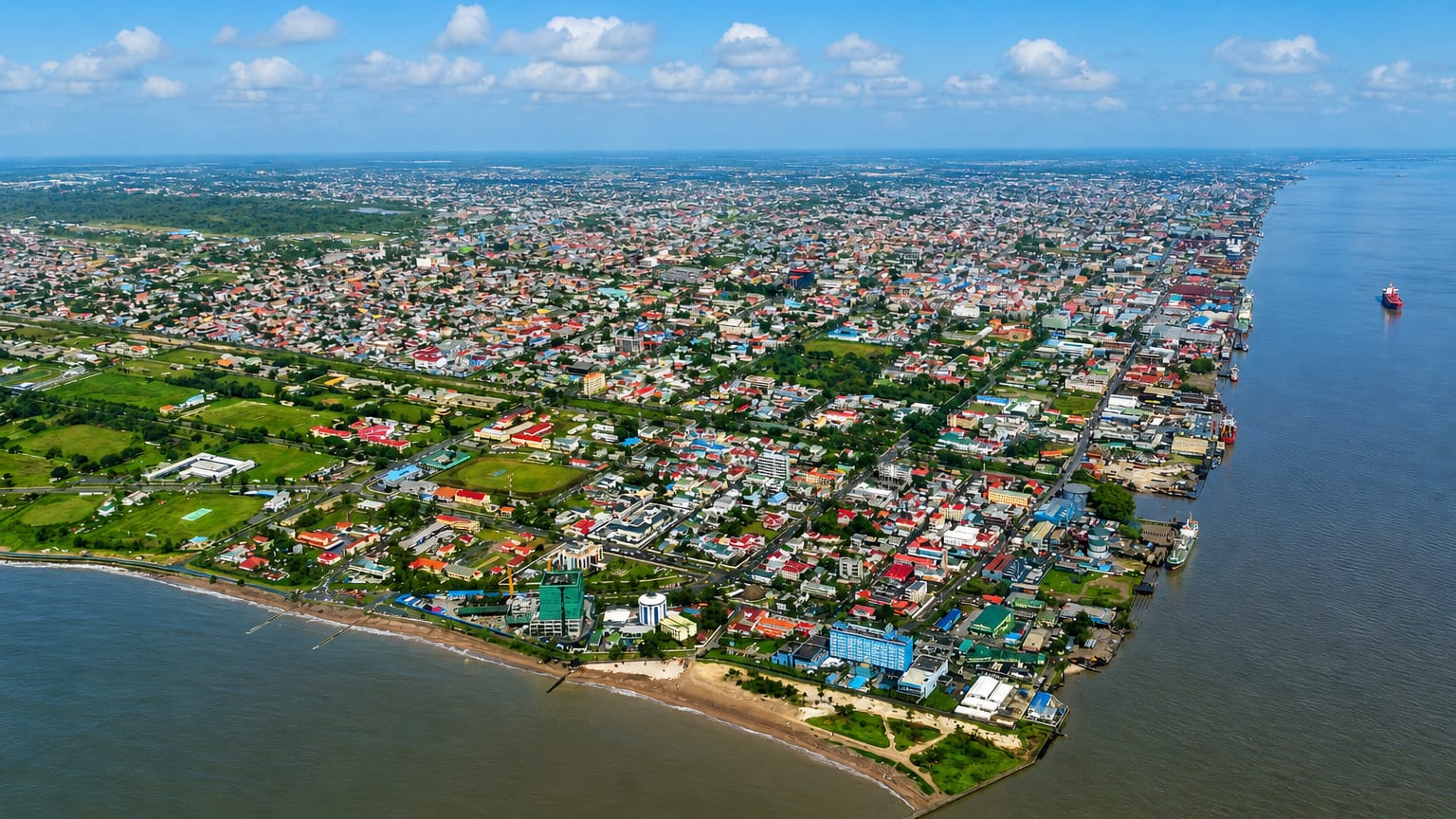
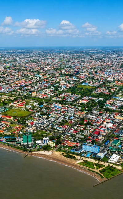
Georgetown is the capital of Guyana, a coastal city on the Atlantic at the mouth of the Demerara river in Demerara-Mahaica.Where to stay →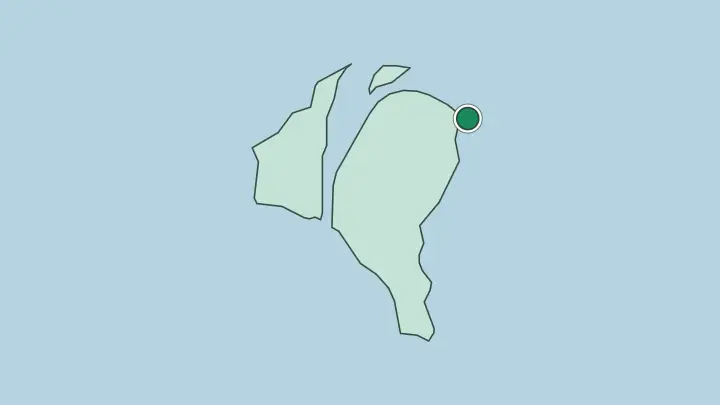
About Demerara-Mahaica Region
What is Demerara-Mahaica Region known for?
Demerara-Mahaica is known above all as the region around Georgetown, the capital and largest town of Guyana. It is the smallest of the country's regions by area, yet it carries the seat of national government, the major administrative buildings, and the Cheddi Jagan International Airport. Farming and livestock define the land.
Cane fields, rice, and grazing pasture spread inland from the coast between the Demerara and the Mahaica, while manufacturing and trade gather in and around the capital along the flat, low seaboard. People know it for Georgetown, agriculture, and its multiethnic Caribbean life.
Where is Demerara-Mahaica Region?
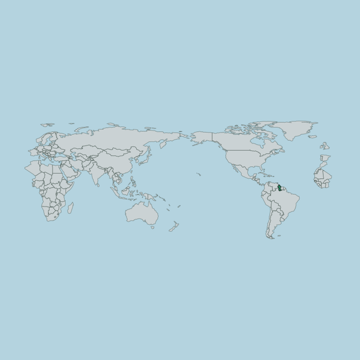
Demerara-Mahaica lies along the Atlantic seaboard of Guyana and takes its name from two of the rivers that bound it. The region sits on the flat, low coastal plain where most of the country's people live, drained by the Demerara, the Mahaica, and the Moblissa, and it is the smallest of Guyana's regions by area. Georgetown stands at its heart.
The capital rises where the Demerara river meets the sea, a working port town laid out on the tidal flats behind a line of sea defences that hold back the Atlantic. Water shapes everything here. A network of canals, kokers, and drainage ditches threads the cane and rice land, carrying rainfall and river water off the low ground that lies barely above the tide.
Inland the plain gives way to bush and swamp toward the Moblissa, and the settled belt narrows to a coastal ribbon of farms, villages, and small towns strung along the shore road. Beyond that ribbon the land runs empty toward the interior.
What is Demerara-Mahaica Region like?
Demerara-Mahaica carries the multiethnic Caribbean culture that Guyana is known for. Georgetown and the coastal villages hold a mix of peoples whose forebears came to work the sugar estates and the rice land, and English is the common tongue that binds them, spoken across the markets, the churches, temples, and mosques of the region. The coast is the country's front room.
Nine in ten Guyanese live along this seaboard, and Demerara-Mahaica holds the densest stretch of it, so the region sets much of the national tone in food, music, worship, and public life. Cricket draws crowds. Curry, roti, pepperpot, and cook-up rice come from the many communities of the coast, and the calendar turns on festivals drawn from those same traditions across the year.
Georgetown anchors the arts. The capital carries the region's theatres, galleries, and the seat of national culture, while the farming villages between the Demerara and the Mahaica keep the older rhythms of estate and field. Together they give the region a plural Caribbean character rooted in the coast.
What is the history of Demerara-Mahaica Region?
Demerara-Mahaica grew up around the old sugar coast of the Demerara river. The plantation economy of the tidal flats drew the labour and built the drainage works and estates that still shape the land, and Georgetown rose at the river mouth as the port and capital that governed the colony from the seaboard. The coast was won from the sea.
Generations of dam-building, canal-cutting, and koker-setting held back the Atlantic to farm the low ground between the Demerara and the Mahaica. That long work of drainage and settlement made the region what it is, and Georgetown carries the administrative story forward as the capital of Guyana.
What is the climate of Demerara-Mahaica Region?
Demerara-Mahaica has a hot, wet tropical climate on the Atlantic coast of Guyana. Warmth holds steady through the year on this low seaboard, and the weather turns instead on the rains, which arrive in two wet spells that soak the coastal plain and swell the Demerara and the Mahaica. Sea breezes cool the shore.
Between the rains the drier months bring brighter, harder skies over Georgetown and the cane land, though the humid heat of the tropics never really lifts from the coast. The drainage canals earn their keep in the wet.
How do you get to Demerara-Mahaica Region?
Demerara-Mahaica handles most arrivals into Guyana by air. Cheddi Jagan International Airport lies south of Georgetown and carries nearly all the country's international flights, while a smaller airfield closer to the capital handles regional and interior hops. A coast road runs through it.
The main highway threads east and west along the seaboard, crossing the Demerara by bridge and running on toward the Mahaica through the farming villages, so most road travel in the region follows that single coastal line. River ferries and launches still serve the water crossings.
Common questions
What is the best area to stay in Demerara-Mahaica Region?
Georgetown: first-time visitors near the Demerara seafront.
Updated July 2026