Guyana: Regions, Cities & Travel Guide
Guyana is an English-speaking country on the northern coast of South America, with Georgetown as its capital.
Hotel links are affiliate links: booking through them may earn us a commission, at no extra cost to you. It never affects how places are ranked. How this works


Top destinations in Guyana
One city to start from, then drill into its areas and hotels.
 Guyana
Georgetown
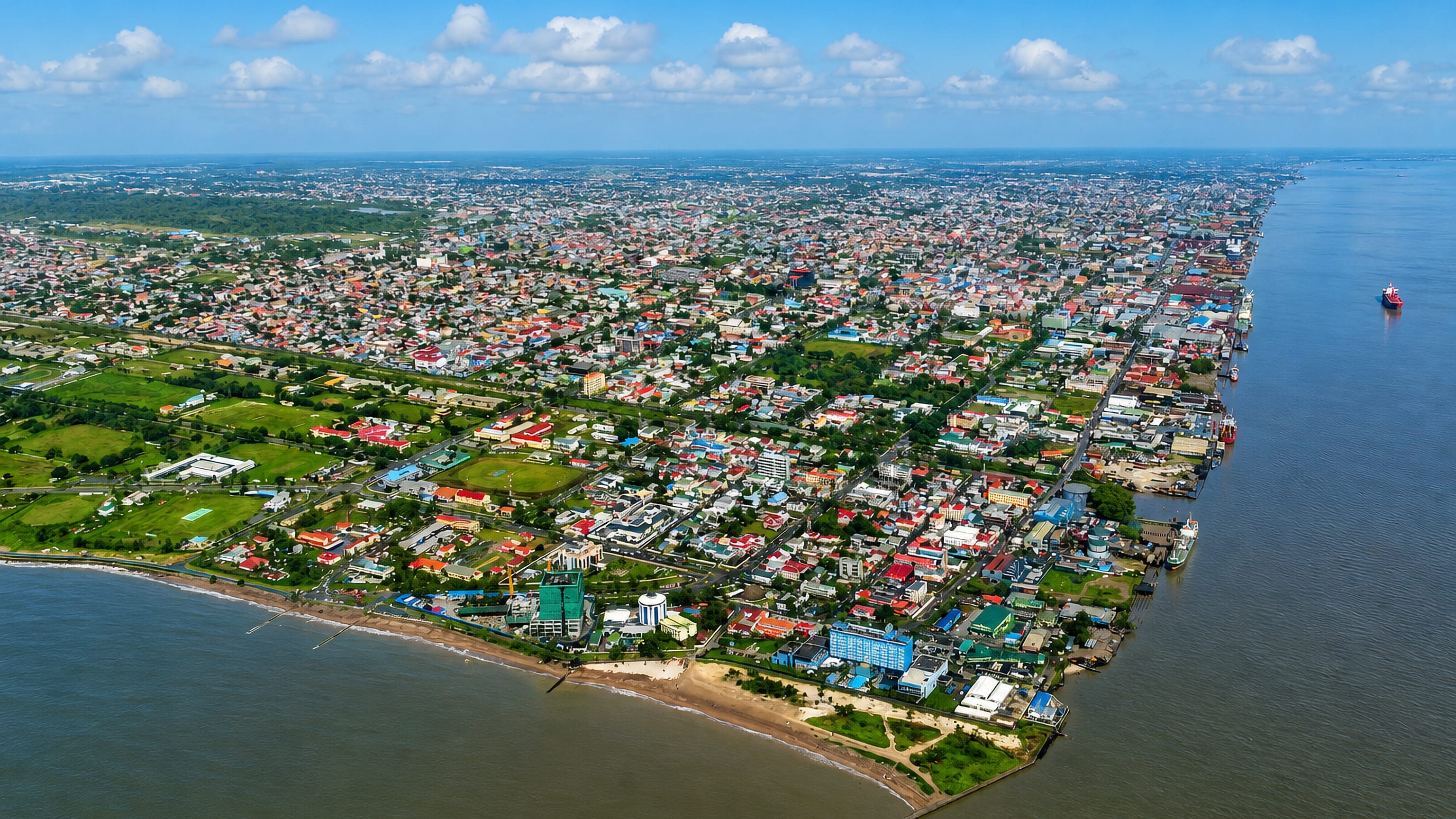
Georgetown is the capital of Guyana, a coastal city on the Atlantic at the mouth of the Demerara river in Demerara-Mahaica.Where to stay →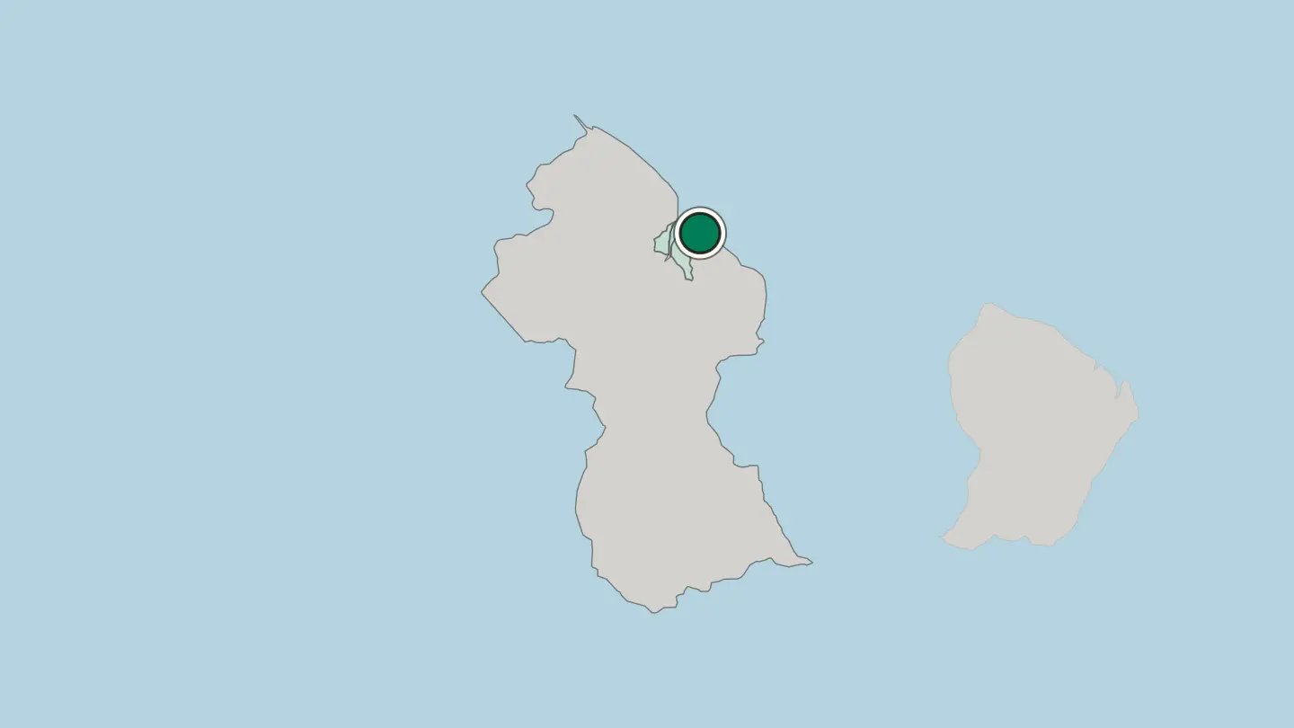
Hotel links are affiliate links: booking through them may earn us a commission, at no extra cost to you. It never affects how places are ranked. How this works
Browse by region
One region so far — open it to see its cities and towns.
About Guyana
What is Guyana known for?
Guyana is known for one of the great waterfalls of the world. Kaieteur Falls drops in a single sheet on the Potaro River, deep in interior rainforest. The country wears its water everywhere.
Four broad rivers, the Essequibo, Demerara, Berbice, and Courantyne, run north to the Atlantic and gave the old colonies their names. Beyond the coast lie the Rupununi savannahs, the Kanuku Mountains, and the flat-topped sandstone of Mount Roraima on the western frontier.
Where is Guyana?
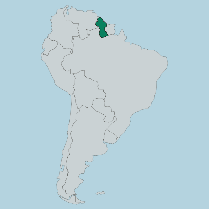
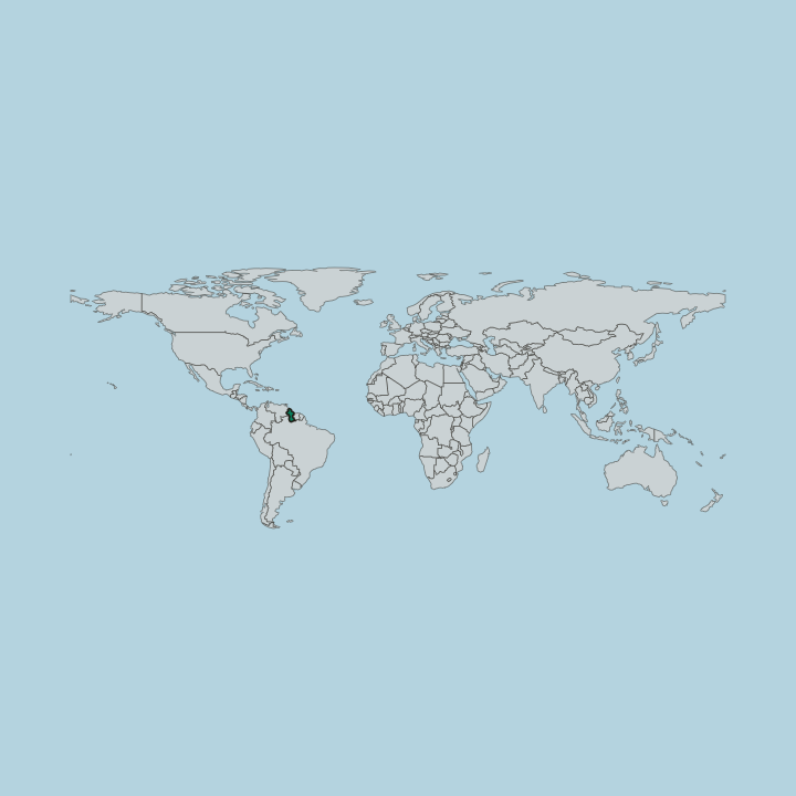
Guyana sits on the northern shoulder of South America, its coast on the Atlantic between Suriname to the east and Venezuela to the west, with Brazil filling the long southern border. The land falls into three bands. A narrow coastal plain, much of it below the high-tide line and held back by seawalls and drainage canals the Dutch first cut, carries almost all of the country's people and its sugar and rice fields.
Behind it runs a white-sand belt of forest, and beyond that the interior highlands and rainforest that cover most of the map. Water orders everything here. The Essequibo, the largest river, gathers from the Brazilian border in the south and spreads into a wide island-choked delta west of Georgetown, while the Demerara and Berbice run their own courses to the sea.
In the west the ground climbs to the Pakaraima Mountains, where Mount Roraima raises its sheer sandstone wall above the cloud. Southward lie the open Rupununi savannahs and the wooded ridges of the Kanuku Mountains. From seawall to summit, the country tilts from ocean to highland.
The interior stays thinly settled and largely roadless.
What is the history of Guyana?
Guyana's shape was drawn by rivers and by the powers that fought over them. The Dutch settled first in the early seventeenth century, founding the plantation colonies of Essequibo, Demerara, and Berbice along the great river mouths and draining the coastal mud into cane fields. Ownership changed hands.
Britain seized the three colonies during the Napoleonic wars and joined them as British Guiana in 1831. The plantations ran on enslaved African labour, and the coast saw hard revolts, the Berbice rising of 1763 and the Demerara uprising of 1823, before Britain abolished slavery in the 1830s. What followed reshaped the country's people for good.
To keep the sugar estates working, planters brought indentured labourers by ship, most of them from India, alongside smaller numbers of Portuguese and Chinese, layering new communities onto the older African and Amerindian ones. Independence came on 26 May 1966, and the country took the name Guyana. A few years afterward it declared itself the Co-operative Republic of Guyana, a socialist-tinged title it still carries.
The old colonial river-names endure, stamped on the regions and on the sugar brands the world buys. Dutch canal to modern republic, the coast keeps its grid.
What is Guyana like?
Guyana is culturally Caribbean, though its ground is South American. Its people descend from Amerindian nations, enslaved Africans, indentured Indians, and smaller Portuguese and Chinese communities, and that mix runs straight through the food, the faith, and the calendar. The table tells the story best.
Pepperpot, a dark cassareep stew inherited from the Amerindians, simmers at Christmas; curry, roti, and split-pea pholourie came with the Indian estates; and cook-up rice binds the whole coast together. Hindu, Muslim, and Christian festivals share the year. Diwali lamps, the coloured powders of Phagwah, and Easter kite-flying on the Georgetown seawall each mark their season, and cricket draws the country together as nothing else does.
English is the official tongue, but most people speak Creolese, an English-based creole full of Amerindian, African, and Indian words. The interior keeps its own cultures, where Makushi, Wapishana, and other Amerindian peoples still hunt, farm cassava, and guide the rainforest lodges. Music runs from calypso and chutney to reggae.
One small country holds many inheritances at once.
What is the climate of Guyana?
Guyana lies wholly in the tropics, hot and humid the year round, cooled on the coast by the Atlantic trade winds. The coast keeps two wet seasons, a long one from roughly April to August and a shorter one around December and January, when the drainage canals of Georgetown earn their keep. Inland the pattern shifts.
Rupununi savannahs take a single long rainy stretch, and the Georgetown-to-Lethem road turns to mud when it comes. Between the rains the light is clear and the rivers drop. Through every season the tropical heat holds steady.
How do you get to Guyana?
Nearly every visitor arrives by air. Cheddi Jagan International Airport at Timehri, on the Demerara River south of Georgetown, handles the long-haul flights, while a smaller field closer to the capital serves the light aircraft that reach the interior. Distances inland are real.
Kaieteur Falls and the rainforest lodges are day-hops by small plane, since roads barely exist beyond the coast. Overland travellers can also cross from Brazil at Lethem in the far south-west. The interior belongs to the bush pilots.
Good for
Updated September 2026