Guyana · Demerara-Mahaica Region
Where to Stay in Georgetown, Demerara-Mahaica Region


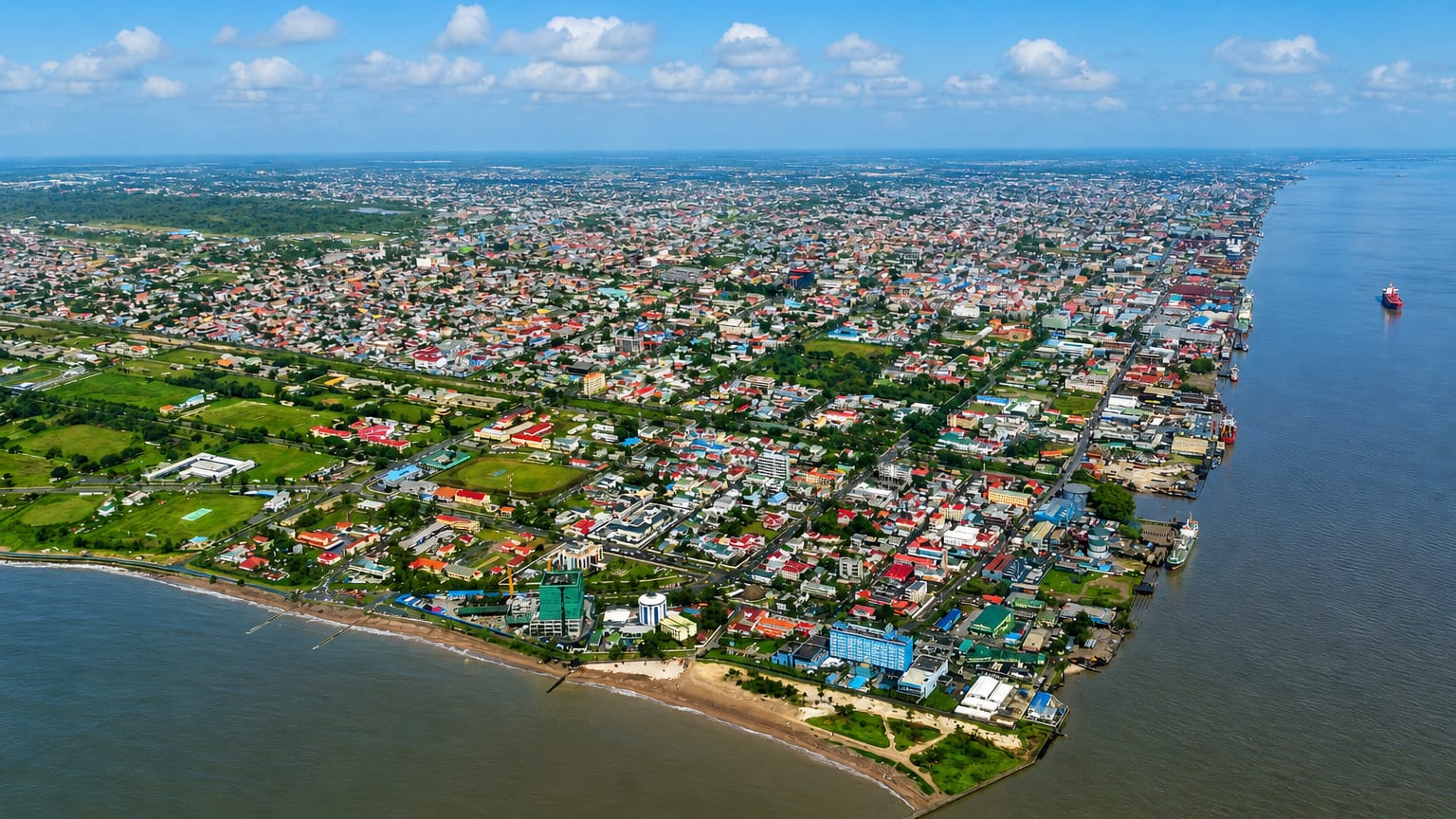
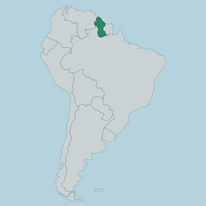
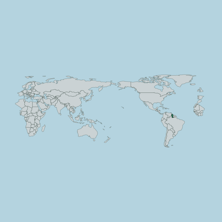
Georgetown is the capital of Guyana, a coastal city on the Atlantic at the mouth of the Demerara river in Demerara-Mahaica.
Find your area →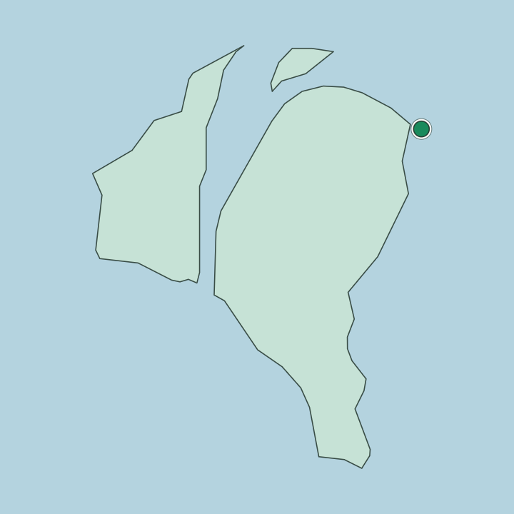
Where to stay in Georgetown
Not every neighbourhood fits every trip — here's what each one is good for.
Most visitors to Georgetown stay in the central grid near the sea wall and Brickdam, where hotels and guesthouses of every grade sit within reach of the museums, the government offices, and the seafront. This old core suits first-time travellers who want the main sights and the river close at hand. Beds cluster here.
Along the sea wall the breezy avenues near the Georgetown Cenotaph and St. Andrew's Kirk hold quieter rooms with the Atlantic on the doorstep, a short walk from the parade ground and the promenade where the city takes the evening air. Inland toward the Guyana Zoo and the botanical grounds you find larger hotels set among gardens and canals, away from the busiest downtown lanes, while the estate roads out toward Cheddi Jagan International Airport carry a handful of stopover rooms for early flights. Choose the centre for the sights.
The grid around Brickdam Cathedral and the Guyana National Museum keeps you within walking distance of the markets, the churches, and the working harbour on the Demerara, and it fills first through the drier months when travel to the coast is easiest.
About Georgetown
What is Georgetown known for?
Georgetown is known as the capital and largest city of Guyana, laid out on the flat coast where the Demerara river meets the Atlantic. The city is famous for its painted timber architecture, its drainage canals and sea wall, and landmarks such as Brickdam Cathedral, St. Andrew's Kirk, and the Guyana National Museum. Its streets run in a grid.
Broad avenues, tree-lined canals, and a long seafront defence hold back the tide from a town that sits barely above the water, and the Georgetown Cenotaph and the Guyana Zoo mark its public heart. People know it for timber houses, canals, and the sea wall.
What are the main landmarks in Georgetown?
Brickdam Cathedral and St. Andrew's Kirk stand among the great timber buildings of central Georgetown, two of the city's oldest places of worship. The Guyana National Museum and Castellani House hold its collections. One keeps the national record of natural history and heritage, while the other, a fine wooden mansion, shows the country's art behind painted verandas and fretwork.
Along the parade ground the Georgetown Cenotaph marks the war dead, and the Guyana Zoo and its botanical gardens gather the birds and animals of the interior for city visitors. Splashmins Fun Park lies out of town for a day by the water.
What is the history of Georgetown?
Georgetown grew from a plantation port at the mouth of the Demerara river, founded in 1781 on the low coast of what is now Guyana. The town rose on drained sugar estates, its grid of streets set between canals dug to carry the water off ground that lies barely above the tide, and it took shape under successive colonial rulers who each left their mark on its plan and its buildings. Control changed hands more than once.
The settlement passed between competing European powers before it was fixed as the capital of the colony, and the timber architecture, the Anglican and Catholic churches, and the drainage works of those years still define the old core. Fire and flood shaped the city. Great blazes swept the wooden town over the years, and each rebuilding kept the fretworked timber style that gives Georgetown its look, from the cathedral quarter around Brickdam to the mansions like Castellani House.
The sea wall was raised against the Atlantic. Long lines of defence and a web of kokers and canals hold back the ocean from streets that would otherwise flood, the work of generations that made a capital on ground reclaimed from the sea. From that estate port the city became the seat of an independent Guyana.
Where is Georgetown?
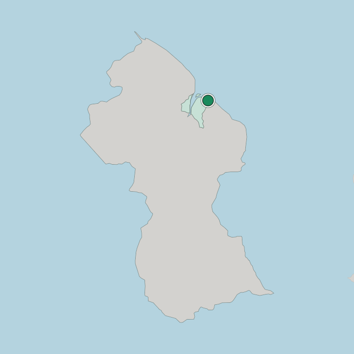
Georgetown sits on the Atlantic coast of Guyana, on the east bank at the mouth of the Demerara river in Demerara-Mahaica. The city occupies flat, low ground barely above the tide, so a sea wall and a network of canals and kokers drain the rainfall and hold back the ocean from its grid of streets. The land runs level to the shore.
Behind the seafront the coastal plain spreads inland in cane and rice country, drained toward the Demerara and the Mahaica, while the working harbour and the river traffic keep the city turned toward the water. Beyond the settled coast the interior begins.
What is the climate of Georgetown?
Georgetown has a hot, humid tropical climate on the Atlantic coast of Guyana. Warmth holds steady the year round on this low seaboard, and the year turns instead on the rains, which fall in two wet spells that soak the coastal plain and test the canals and sea defences of the city. Sea breezes temper the heat.
Between the wet seasons the drier months bring brighter skies and firmer ground over the streets and gardens, though the sticky heat of the tropics never fully leaves the coast, and the drainage works earn their keep whenever the heavy rains return. The Atlantic breeze cools the sea wall.
How do you get to Georgetown?
Georgetown is reached mainly through Cheddi Jagan International Airport, which lies south of the city and handles nearly all of Guyana's international flights. A smaller airfield closer to town serves regional and interior routes, useful for the hop into the forested hinterland beyond the coast. Roads follow the shore.
The coastal highway runs east and west from the capital, crossing the Demerara by bridge toward the western coast and running on past the Mahaica through the farming villages, so most overland travel keeps to that single seaboard line. River ferries and launches still work the crossings.
Good for
Updated July 2026