Iran · Ardabil Province
Where to Stay in Pārsābād, Ardabil Province
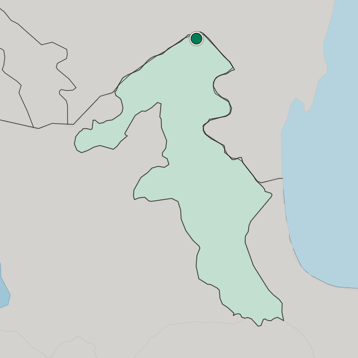
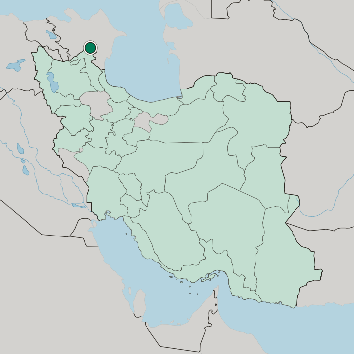
Iran's northernmost city, Pārsābād sits on the Mughan plain above the Aras River, facing the Republic of Azerbaijan.
Find your area →


Where to stay in Pārsābād
Where visitors usually base themselves, and why.
Pārsābād divides by trade, not by monument. The Dasht-e Moghan Agro-Industry and Livestock Company anchors one side of town, and rooms near it put a visitor within reach of the sugar mill, the cotton gin, and the four-thousand-hectare orchard complex that give the county its working day. That is where most business sleeps.
Nothing here is far. Pārsābād spreads across level ground, so the walk from the agro-industry blocks to the older commercial streets costs a few minutes rather than an afternoon, and the flat-woven Verni kilims of the Shahsevan turn up in shops on either side. The other choice faces the water.
Where Pārsābād's streets run out to the Aras River, the Republic of Azerbaijan stands on the opposite bank, and a bed on that margin suits anyone who came for the fact that no Iranian city lies further north. Views are the whole payoff there. Beds thin out fast.
Pārsābād Moghan Airport gives a third option, useful on a short stay pinned to the weekly Tehran rotation or to an early start down the road toward Bileh Savar, and its side of town trades atmosphere for the shortest possible transfer.
About Pārsābād
Farming built this town.
What is Pārsābād known for?
The Dasht-e Moghan Agro-Industry and Livestock Company works crop, herd, and factory operations on a scale unmatched in Iran or the wider region, and around it sit a sugar mill, a cotton gin, and plants for tomato paste, compote, and jam. Cotton, sugar beet, maize, wheat, barley, and sesame leave the Mughan plain each season. Verni, the flat-woven kilim of the Shahsevan camps, earned an international geographical indication in 1398 by the Solar Hijri calendar.
What are the main landmarks in Pārsābād?
Ultan Castle heads the sights recorded for Pārsābād. The historic Khodaafarin Bridge stands with it, along with the Qarluja Tower and the old cemetery at Aslanduz, and the Mughan plain itself carries as much of the interest as any single structure. Distances are real.
These are county sights rather than street-corner ones, so a drive out from the county seat does the work of reaching them, and the Aras River sets the northern limit of the ground they cover.
What is the history of Pārsābād?
The town is younger than its plain. Ebrahim Parsa, an engineer who ran the Shiar Azarbaijan company, laid it out in 1330 by the Solar Hijri calendar, and the place took his surname as Parsa Abad before the awkward pair of alefs collapsed into the modern Pārsābād. City status followed in 1370.
Everything older belongs to Moghan rather than to the town, because the routes and pastures set down in the old geographies crossed this ground long before any street grid did. Abu Ishaq Ibrahim Estakhri fixed the region in Masalik va Mamalik, listing Azerbaijan, Moghan, and Sarir along the western side of the Caspian Sea, with the road running from Bileh Savar through Moghan and on two days to Derbent through the country of the Shirvanshahs. Hossein Shakuri described Moghan as a town ringed by two streams and by gardens that made a paradise of the plain.
Hamdollah Mostowfi, writing on Arran, called its air hot and its borders shared with Armenia, Shirvan, Azerbaijan, and the Caspian, and he named Barzand among the settled villages, grain being its harvest. Those are the deep sources. Pastoral life supplies the rest, since the Shahsevan of Moghan are a Qizilbash people counted as the remnant of 33 principal clans, with Pirevatlu, Giglu, and Hossein Hajilu the largest of them, Twelver Shia in faith and Azerbaijani Turkish in speech.
Where is Pārsābād?
Level ground runs in every direction. Pārsābād occupies the Mughan plain, a flat expanse counted among the most productive soils and growing climates in Iran, and the Aras River closes it off to the north with the Republic of Azerbaijan on the far bank. Ardabil lies two hundred kilometres away.
The plain's own cover is pasture grass of good quality, grazed by Shahsevan herds, which is why the county reads as farmland long before it reads as town.
What is the climate of Pārsābād?
Nothing on the Mughan plain breaks the wind. Pārsābād sits in cold semi-arid country, where summers run temperate into hot and the flat ground gives neither shelter nor shade to soften either end of the year. The Aras River sets the northern limit.
Cotton, sugar beet, and rice come off this ground in quantity, and the pasture grasses that cover the unploughed parts of the plain feed the Shahsevan herds through the same open weather.
How do you get to Pārsābād?
Flights are the county's own achievement. Pārsābād Moghan Airport opened in 1352 by the Solar Hijri calendar as the second-oldest airfield in Ardabil Province after the Ardabil garrison strip, was separated from the Moghan agro-industry company and handed to the Iran Airports Company, and it runs a weekly rotation to Tehran and back. Road is the ordinary way in.
Ardabil sits two hundred kilometres off, and Bileh Savar lies fifty-five kilometres south along the same corridor that the old geographies used to reach Derbent.
Good for
More cities in Ardabil Province
Updated September 2026