Netherlands · Provincie Utrecht · Utrecht
Leidsche Rijn, Utrecht — Area Guide & Where to Stay
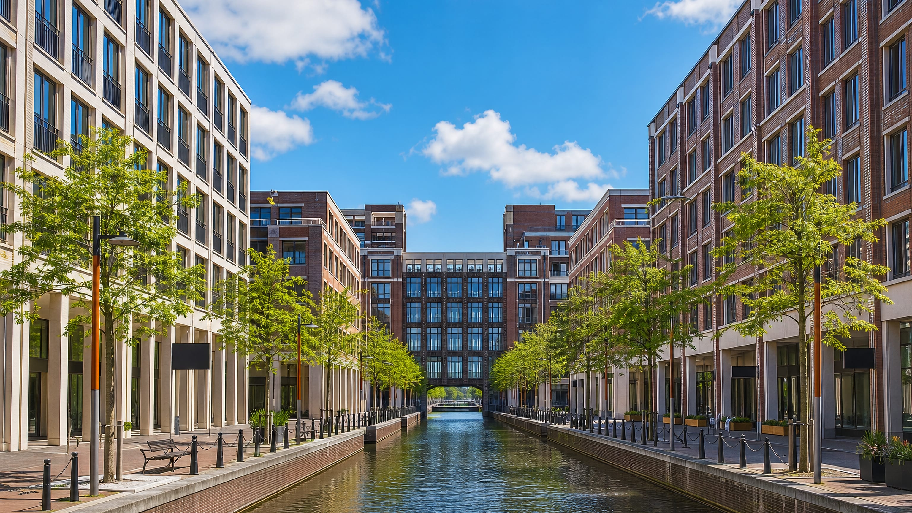
Leidsche Rijn is a planned district of Utrecht west of the Amsterdam-Rhine Canal, named after the Leidse Rijn canal running through it.
Hotel links are affiliate links: booking through them may earn us a commission, at no extra cost to you. It never affects how places are ranked. How this works


Where to stay in Leidsche Rijn
The practical side of choosing where to sleep.
Rooms concentrate in Utrecht itself. Leidsche Rijn lies west of the Amsterdam-Rhine Canal and west of the city, laid out as housing over ground that mostly belonged to Vleuten-De Meern, so a visitor books in the older city and crosses the canal for the district. Space is the argument for staying out.
Amaliapark and the excavated Fletio ground give the streets something to walk to, while Hoge Weide and Lage Weide mark the smaller part that Utrecht already administered.
Find hotels in Leidsche Rijn
Direct booking searches for these neighbourhoods.
Utrecht old city
The established side of Utrecht holds the lodging, unlike the Vinex housing laid out along the Leidse Rijn canal.Find hotels in Utrecht old cityfamilies wanting Amaliapark and the Fletio excavation ground on the doorstepAmaliapark side of Leidsche Rijn
The expansion west of the Amsterdam–Rhine Canal, built over Vleuten-De Meern land, where Amaliapark and the Roman-era Fletio remains sit among the housing. Few places to stay nearby — book ahead.Find hotels in Amaliapark side of Leidsche Rijnthe strip of the plan that Utrecht already governed before building startedHoge Weide and Lage Weide
Hoge Weide and Lage Weide, the smaller share of the Leidsche Rijn scheme that lay inside the Utrecht municipality rather than in Vleuten-De Meern. Lodging is scarce in this area; reserve in advance.Find hotels in Hoge Weide and Lage WeideHotel links are affiliate links: booking through them may earn us a commission, at no extra cost to you. It never affects how places are ranked. How this works
About Leidsche Rijn
What are the main landmarks in Leidsche Rijn?
Amaliapark is the one park entry. The rest of the list is buried rather than built, three registered terrains holding the remains of Fletio and traces of occupation on the ground the district was laid out over. Dutch keeps the labels literal.
Terrein met overblijfselen van Fletio and Terrein waarin sporen van bewoning are the register's own words, and the longest entry adds the Roman period and the Early Middle Ages to the same patch of Leidsche Rijn.
What is the history of Leidsche Rijn?
Romans left traces under the housing. The registered terrains record Fletio settlement from the Roman period and further traces from the Early Middle Ages, so this ground carried occupants long before any plan drew streets across it. Construction began in the 1990s.
Leidsche Rijn became the largest Vinex location in the Netherlands, most of it on land of the former municipality of Vleuten-De Meern, with the smaller Hoge Weide and Lage Weide area already inside Utrecht.
Where is Leidsche Rijn?
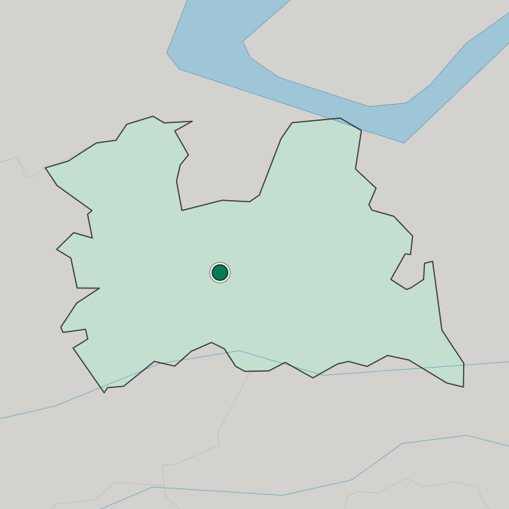
Leidsche Rijn spreads west of the Amsterdam-Rhine Canal inside Utrecht, taking its name from the Leidse Rijn canal that runs through it.
Common questions
What is the best area to stay in Leidsche Rijn?
Utrecht old city: the Utrecht room supply, with Leidsche Rijn reached across the Amsterdam–Rhine Canal. Amaliapark side of Leidsche Rijn: families wanting Amaliapark and the Fletio excavation ground on the doorstep. Hoge Weide and Lage Weide: the strip of the plan that Utrecht already governed before building started.
Good for
More areas in Utrecht
Updated October 2026