Sierra Leone: Regions, Cities & Travel Guide
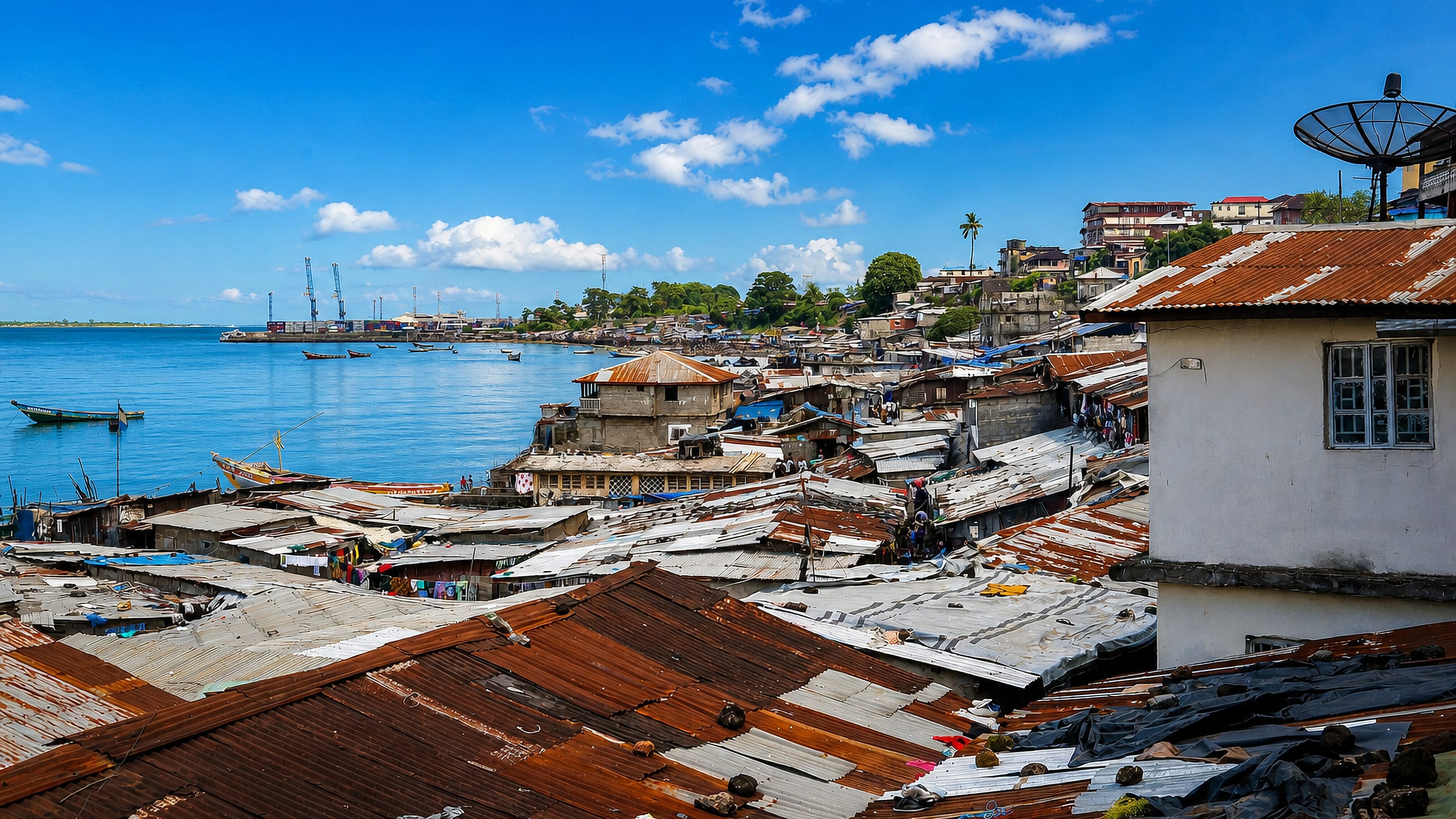
Sierra Leone curves along the West African coast, its capital Freetown set below the mountains that gave the country its name.
Hotel links are affiliate links: booking through them may earn us a commission, at no extra cost to you. It never affects how places are ranked. How this works


Top destinations in Sierra Leone
One city to start from, then drill into its areas and hotels.
 Sierra Leone
Freetown
A deep natural harbour opens below the peninsula mountains at Freetown, capital of Sierra Leone, known for Saint George's Cathedral and its beaches.Where to stay →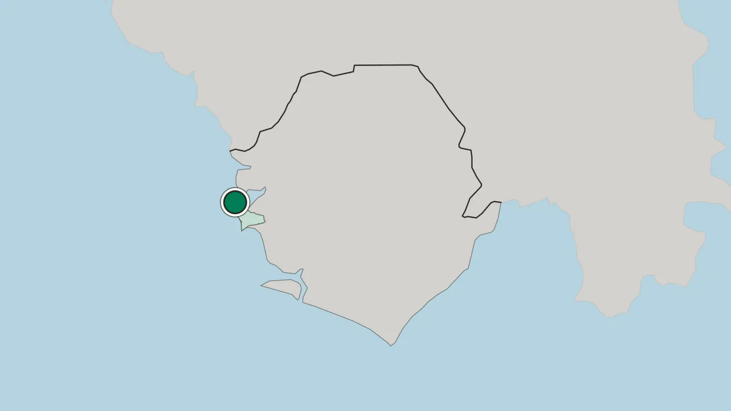
Hotel links are affiliate links: booking through them may earn us a commission, at no extra cost to you. It never affects how places are ranked. How this works
Browse by region
One region so far — open it to see its cities and towns.
About Sierra Leone
Beaches define the first impression.
What is Sierra Leone known for?
The Freetown Peninsula strings white sand from Lumley round to Tokeh and River No. 2, all within an hour of the capital. Inland the country climbs toward the Loma Mountains, crowned by Mount Bintumani, while Tiwai Island shelters primate troops. Bunce Island, a ruined slaving fort in the Rokel estuary, carries a harder memory.
Rainforest, rivers, and reef sit close together here.
Where is Sierra Leone?
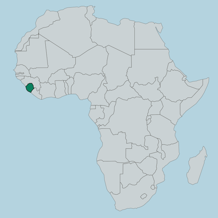
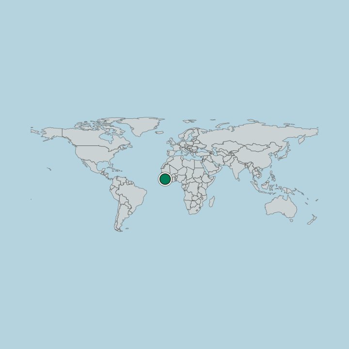
Sierra Leone occupies a compact wedge of the West African coast, bordered by Guinea along the north and east and by Liberia to the south-east. The land rises inland like a staircase. A low, swampy coastal plain of mangroves and estuaries gives way to interior plateaus, and these climb finally to the Loma Mountains in the north-east, crowned by Mount Bintumani.
Rivers do the shaping. The Rokel runs down from the Loma range toward the Atlantic and empties near the capital, while the Sewa drains the southern forests, and both begin their courses in the same highland heartland. The Freetown Peninsula is a spur of forested hills dropping straight into the sea, and the deep water it shelters forms a natural harbour.
Vegetation follows the rain. Moist evergreen rainforest holds the wetter south and east, thinning northward into Guinea savanna as the dry season lengthens. From mangrove coast to mountain summit, the whole country fits inside a single day's drive.
What is the history of Sierra Leone?
Freetown was founded as an experiment in freedom. In 1787 British abolitionists landed several hundred freed people on the peninsula and named the settlement the Province of Freedom, a haven for those returning from slavery. Waves of settlers followed.
Nova Scotian loyalists, Jamaican Maroons, and Africans freed from intercepted slave ships joined the indigenous Temne and Mende, and out of that fusion the Krio people and their English-based Krio language took shape as the coast's common tongue. Britain governed the colony and its interior for well over a century, and Sierra Leone became an independent state in 1961. Peace did not last.
A civil war ignited in 1991, dragged on for eleven years, and left the country deeply scarred before it ended in 2002. Bunce Island, upriver from Freetown, still stands in ruins as the fort from which thousands were shipped across the Atlantic. Recovery since the war has been slow but real, and the harbour that once handled that grim trade now anchors the nation's rebuilt capital.
From province of freedom to modern republic, the thread runs unbroken.
What is Sierra Leone like?
Sierra Leone reads as many peoples living close together. The Temne of the north and the Mende of the south are the predominant groups, alongside the Limba, the Fula, and the coastal Krio, whose settler heritage still colours Freetown's architecture, churches, and speech. Krio ties the country together.
Though English is the official language, it is Krio that a market trader in Bo and a fisherman on the peninsula both fall into, a creole grown from English, Yoruba, Temne, and Portuguese roots. Food carries the same layering. Rice anchors the meal, ladled beneath a green plasas made from cassava leaves or potato leaves cooked down in red palm oil, with Scotch bonnet heat and smoked fish threaded through.
Music, storytelling, and masked dance run through community life, and the Freetown carnival draws performers from across the provinces. Secret societies still guide rites of passage in many towns. The palm tree and the grain of rice appear on the currency and in song alike.
Old and new sit easily side by side here.
What is the climate of Sierra Leone?
Two seasons rule the year. From roughly May to October the south-west monsoon drives the rains, and the Freetown Peninsula catches heavy downpours, its hills wrung out by the wet Atlantic air. The dry season, November to April, brings the harmattan, a dusty wind off the Sahara that hazes the sky and reddens every surface.
Heat and humidity stay high the year round. Skies clear.
How do you get to Sierra Leone?
Most travellers arrive at Lungi International Airport. The catch is geography, because the airport sits across the wide Rokel estuary from Freetown, with no bridge to the city. A water taxi across the bay covers the gap in about half an hour and is the quick way to reach the capital, though a longer road route swings inland through Port Loko.
From Freetown the peninsula beaches are close, and the roads out to Bo, Kenema, and Makeni open the interior. Plan the crossing before you land.
Good for
Updated October 2026