Suriname: Regions, Cities & Travel Guide
Suriname is a small rainforest republic on South America's northeast coast, with Paramaribo on the Suriname River as its capital.
Hotel links are affiliate links: booking through them may earn us a commission, at no extra cost to you. It never affects how places are ranked. How this works


Top destinations in Suriname
One city to start from, then drill into its areas and hotels.
 Suriname
Paramaribo
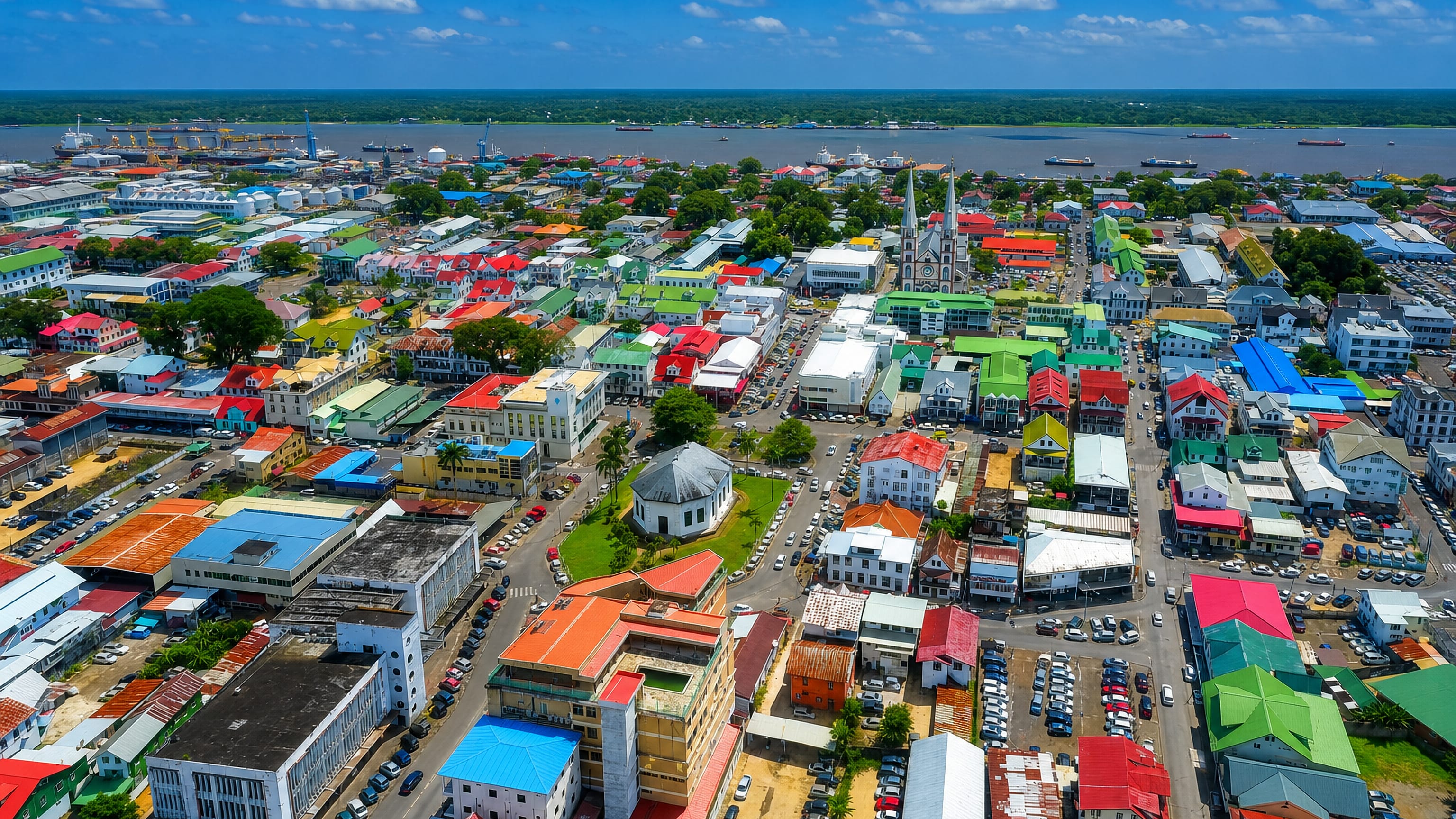
Wooden colonial facades line the Suriname River at Paramaribo, capital of Suriname, whose UNESCO-listed inner city gives the Dutch-speaking port its name.Where to stay →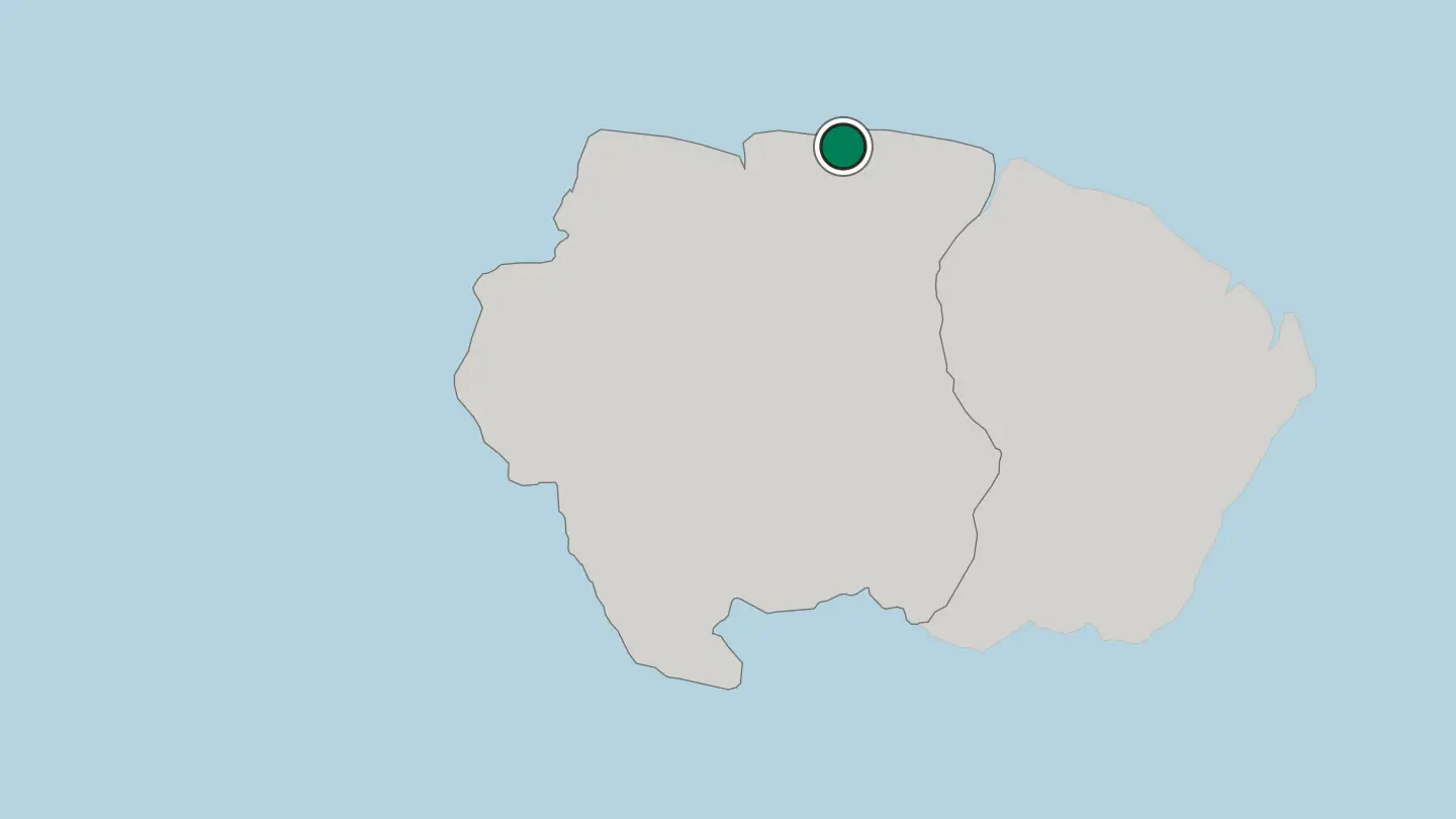
Hotel links are affiliate links: booking through them may earn us a commission, at no extra cost to you. It never affects how places are ranked. How this works
Browse by region
One region so far — open it to see its cities and towns.
About Suriname
What is Suriname known for?
Suriname is the smallest country in South America, and more than nine-tenths of it lies under standing tropical forest. Paramaribo carries the country's other reputation. Its wooden colonial centre, a UNESCO World Heritage site on the Suriname River, sets Dutch shophouses beside a synagogue and a mosque that share one street.
Beyond the coast the forest takes over. Rivers such as the Marowijne stand in for roads, dugout canoes reach Maroon and Indigenous villages, and the Central Suriname Nature Reserve protects an unbroken stretch of the Guiana Shield.
Where is Suriname?
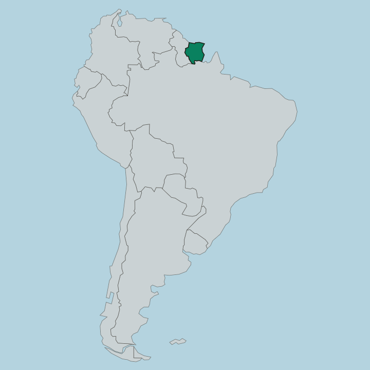
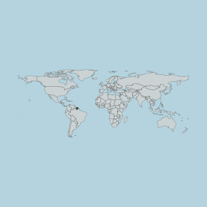
Suriname sits on the northeast shoulder of South America, wedged between Guyana to the west, French Guiana across the Marowijne River to the east, and Brazil along the forested south. The Atlantic frames the north. Along that coast runs a narrow belt of clay flats, mangrove, and swamp where nearly all the towns and farmland lie, from the rice polders of Nickerie in the far west to the plantation land of Commewijne east of the capital.
This is where people live. Behind the coastal strip the ground rises into the interior, and the character of the country changes completely. Most of Suriname is the Guiana Shield, a slab of ancient rock carrying the highest proportion of forest cover of any nation on earth.
The vast southern district of Sipaliwini, larger than the other nine put together, is almost wholly rainforest. Granite domes and quartzite table mountains break the canopy inside the Central Suriname Nature Reserve, and the land climbs to Juliana Top in the Wilhelmina Mountains, the country's highest point. Rivers do the work of roads here.
The Suriname River drains north through the middle of the country past Paramaribo, the Marowijne marks the whole eastern boundary, and dozens more thread the forest, feeding the huge Brokopondo reservoir behind the Afobaka dam.
What is the history of Suriname?
The Dutch took control of Suriname in 1667, trading away New Amsterdam, the settlement that became New York, to keep it. What they built along the Suriname and Commewijne rivers was a plantation economy worked by enslaved Africans on sugar, coffee, and cacao. Many did not accept it.
Those who escaped into the forest formed the Maroon communities that still hold the interior, and they fought long wars to defend that freedom from the colonial forces sent after them. Slavery ended in 1863, and the planters looked abroad for new labour. Between 1873 and 1916 ships brought indentured workers from British India, and later from Java in the Dutch East Indies, to the same plantation districts.
Those arrivals reshaped the country for good. The Hindustani and Javanese communities they founded now sit alongside Creole, Maroon, and Indigenous Surinamese as the pillars of the nation. Suriname became an independent republic in 1975, cutting the last formal tie to the Netherlands, though Dutch remained the official language and a large Surinamese community still lives there.
The colonial ledger left its marks everywhere. You read it in the plantation names of Commewijne and in the mixed streets of Paramaribo.
What is Suriname like?
Few countries pack as many traditions into so small a space as Suriname does. Its people descend from West Africa, India, Java, China, the Netherlands, and the Indigenous nations who were here first, and each group kept its own faith, festival, and kitchen. The result is genuinely mixed.
On the Keizerstraat in Paramaribo a synagogue and a mosque stand wall to wall, and Hindu temples, Catholic and Moravian churches, and winti shrines all belong to the same city. Dutch is the language of school and government, but the street speaks Sranan Tongo, an English-based creole that everyone shares across community lines. Food is where the mixing is most delicious.
A single table might carry Javanese saoto soup, Hindustani roti with curried chicken and potato, and Creole pom, a baked casserole of grated pomtajer root layered over citrus-marinated chicken. Music and celebration run just as wide. Diwali, Eid, Keti Koti marking the end of slavery, and the Javanese and Chinese new years all appear on the same national calendar.
The Maroon peoples of the interior kept West African drumming, carving, and textile traditions alive across three centuries in the forest. This is not a blur of one culture into another. It is many held side by side, and Surinamese wear that as a point of pride.
What is the climate of Suriname?
Suriname sits just north of the equator, so it stays hot and humid the year round, with days generally between the mid-twenties and low thirties Celsius. There is no cold season, only wet and dry ones. Two rainy spells, a long one from about May to August and a shorter one from November to February, split two drier stretches when the forest tracks and river trips are easiest.
Rain here is heavy but usually brief. Pick a dry window for the interior.
How do you get to Suriname?
One airport handles the country. Nearly all arrivals land at Johan Adolf Pengel International Airport, near Zanderij, about 45 kilometres south of Paramaribo, from where a road runs north into the capital in roughly an hour. The long-haul link is to Amsterdam, flown by KLM and Surinam Airways, a legacy of the Dutch tie.
Regional flights connect Cayenne, Georgetown, Belém, and several Caribbean islands. Deeper travel switches to small planes and river boats.
Good for
Updated September 2026