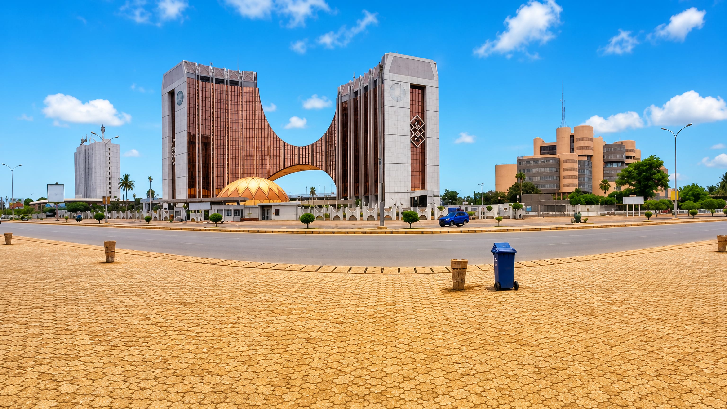
Togo: Regions, Cities & Travel Guide
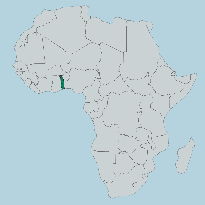
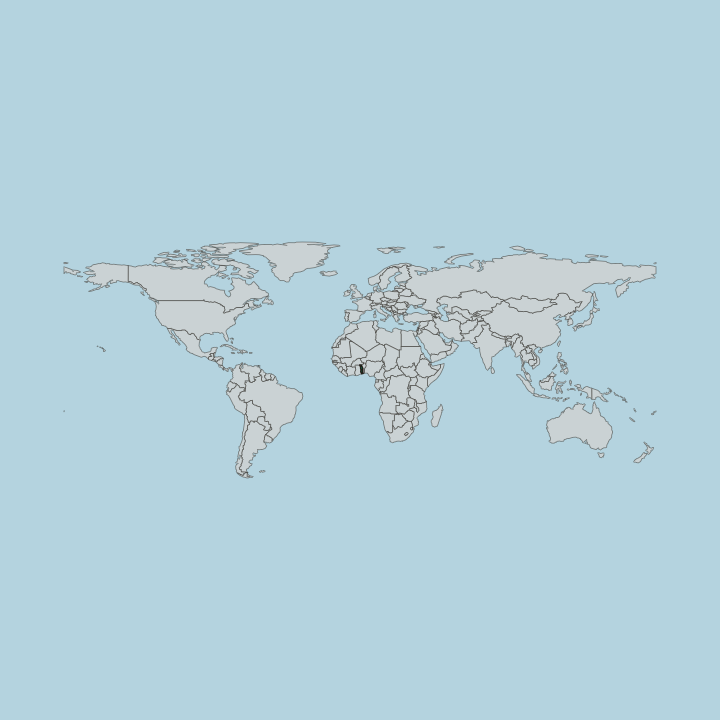
Togo is a narrow West African country running north from the Gulf of Guinea, with Lomé on its coast.
Hotel links are affiliate links: booking through them may earn us a commission, at no extra cost to you. It never affects how places are ranked. How this works


Top destinations in Togo
One city to start from, then drill into its areas and hotels.

 Togo
Togo
Lomé
Lomé is the capital of Togo in West Africa, a port city on the Gulf of Guinea, known for its long market, its wax-cloth traders, and its old German wharf.Where to stay →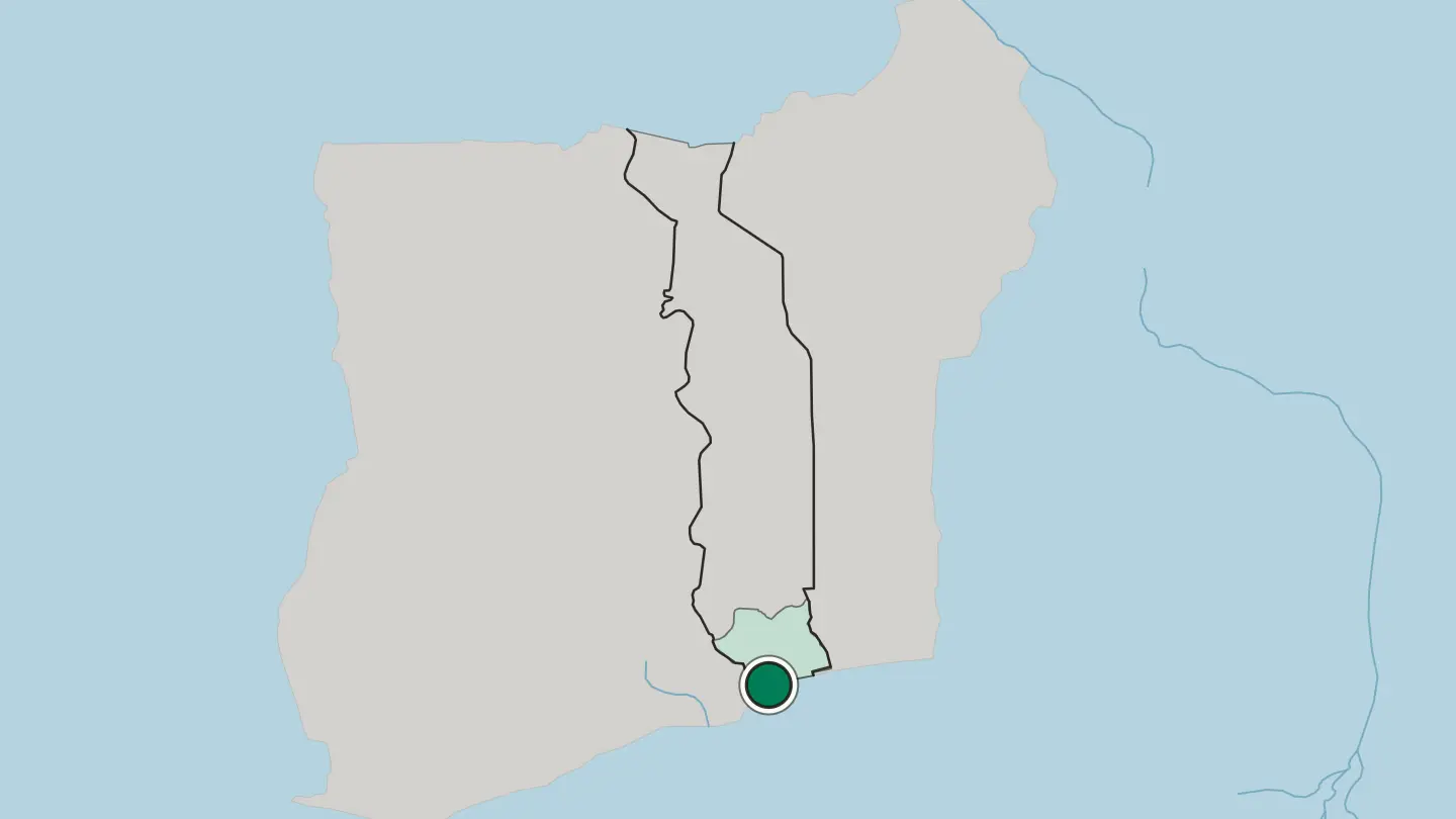
Hotel links are affiliate links: booking through them may earn us a commission, at no extra cost to you. It never affects how places are ranked. How this works
Browse by region
One region so far — open it to see its cities and towns.
About Togo
What is Togo known for?
Togo is known for Vodun, the spiritual practice that took shape along this stretch of the coast and still guides daily life in the south. The country packs many contrasts into a thin strip. Lomé, the capital, keeps a lagoon-side market and a long beach, while the hills around Kpalimé grow coffee and cocoa.
Northward, the clay tower-houses of Koutammakou rise from the Batammariba country near Kara. It is West Africa distilled into one narrow band.
Where is Togo?
Togo is a long, thin country in West Africa, no more than about 100 miles wide, stretching from a short Atlantic coast far inland to the border with Burkina Faso in the north. The sea edge is brief. A sandy shore on the Gulf of Guinea backs onto a belt of coastal lagoons, of which Lake Togo is the largest, and the Mono River drains this low, wet country as it forms the eastern boundary with Benin.
Behind the coast the land rises into rolling plateaux. The hill country is the country's green spine. A chain of forested ridges, sometimes called the Togo Mountains, runs south-west to north-east through the Plateaux region, and Mount Agou, the highest point in Togo at 986 metres, stands above the town of Kpalimé near the Ghanaian border.
Ghana lies to the west along the longest of the country's land borders, Benin to the east, and Burkina Faso across the dry north. Northward the plateaux give way to savanna. Around Sokodé and on toward Dapaong the woodland thins into open grassland, tall grass and scattered trees that stretch to the Sahelian edge.
From surf to savanna, the whole run measures under 600 kilometres.
What is the history of Togo?
Long before any colony was drawn, Ewe clans moved into the south and the Kabye and other peoples settled the northern hills, farming the terraces that still ring Kara. The coast drew outsiders early. Portuguese and later European traders worked the Bight of Benin, and the shore east of Lomé became caught up in the slave trade that scarred this whole coast for centuries.
The modern borders are German work. In 1884 Germany declared a protectorate over the strip it called Togoland, made Lomé the capital, and laid the railways and roads that still fan out from the port. That order did not last.
After Germany's defeat in the First World War the territory was split, Britain taking the western part and France the east under League of Nations mandate, and the French portion grew into the Togo of this map. Independence came on 27 April 1960. Gnassingbé Eyadéma seized power in a 1967 coup and ruled for decades, and the Lomé airport still carries his name.
From Ewe clans to a republic on the Gulf, the thread of this coast is trade.
What is Togo like?
Togo carries the roots of Vodun, and along the southern coast that inheritance is worn openly. Shrines, fetish markets, and priests are part of ordinary life, and lakeside Togoville on Lake Togo is a working centre of the practice rather than a museum of it. More than thirty ethnic groups share the country, the Ewe dominant in the south and the Kabye in the northern hills, each with its own language, drumming, and festivals.
The architecture of the north is a culture in itself. In Koutammakou the Batammariba raise the takienta, fortified clay tower-houses whose sculpted forms earned the valley a place on the UNESCO list. Food ties the regions together.
Pâte, a stiff maize or cassava dough, arrives with fiery sauces, and grilled fish comes hot with piment along the shore. French is the working language, an inheritance of the mandate years, but market life runs in Ewe, Kabye, and dozens of other tongues. The result is layered and loud.
One narrow country holds many nations.
What is the climate of Togo?
Togo is tropical from end to end, but the coast and the north keep different calendars. Around Lomé and the shore two rainy spells fall, the heavier one from April into July and a softer one in autumn, split by drier weeks in between. The single-city north around Sokodé and Dapaong runs one long wet season through summer, then a hard dry stretch.
Winter brings the Harmattan. The dusty desert wind off the Sahara hazes the sky and drops the humidity across the whole country from about November into March.
How do you get to Togo?
Most travellers arrive at Lomé, on the coast beside the capital. Its airport, named for Gnassingbé Eyadéma, is the country's main gateway and links West African hubs with Europe. From the terminal the city centre and the beach are a short drive south.
One paved trunk road runs the length of Togo from Lomé through Atakpamé and Sokodé to Kara and the northern border, so onward travel means a long overland haul rather than a domestic flight. Land borders open west and east. Overland crossings link Togo to Ghana and Benin.
Good for
Updated September 2026