France · Centre-Val de Loire · Tours
Rochepinard, Tours — Area Guide & Where to Stay
Rochepinard, also called Bouzignac, is a quarter of Tours on the right bank of the Cher, built between 1968 and 1974 just after the river was reshaped.
Hotel links are affiliate links: booking through them may earn us a commission, at no extra cost to you. It never affects how places are ranked. How this works


Where to stay in Rochepinard
Where visitors usually base themselves, and why.
It is the least populated quarter in Tours. Rochepinard is made of large housing blocks, half public and half private, and a tertiary business zone, with the A10 motorway running between the two. Boundaries are precise here.
Insee defines it as one of the 22 statistical islands of Tours, bounded north by the boulevard Richard Wagner and the avenue Jacques Duclos, south by the Cher, west by the Bordeaux railway bridge and east by the avenue Vatel. Saint-Pierre-des-Corps begins at the edge.
Things to do in and around Tours
Ranked by global recognition; descriptions from Wikidata (CC0).
Churches & Religious Sites
2- Église de la Sainte-Famille de Tours
- église Saint-Avertin de Saint-Avertin
Castles & Historic Sites
1- Château de Beaujardin
Stadiums & Sports
3- Stade de la Vallée du Cher
- Atgt (tennis)
- Jardins de Bouzignac
worth knowingacross 3 categories in and around Tours
About Rochepinard
What are the main landmarks in Rochepinard?
This is a planned quarter and looks it. Large housing sets and a business zone divided by a motorway are what Rochepinard consists of, built in one stretch rather than accumulated. Its neighbour was built with it.
Rives du Cher lies in continuation of it on the same bank and the two were urbanised simultaneously, which is why they read as one project. A railway bridge marks the western entrance. The pont ferroviaire de Bordeaux stands there, and the avenue Vatel closes the quarter on the east.
What is the history of Rochepinard?
The river came first. The Cher was reshaped, and Rochepinard was built shortly afterwards, between 1968 and 1974, on the right bank at the boundary with Saint-Pierre-des-Corps. It went up alongside its neighbour.
Rives du Cher was urbanised at the same time in continuation of it, and the two quarters belong to one operation rather than to separate decades. Half of the housing is public. The rest is private, and a tertiary activity zone occupies the other side of the A10 that runs through the middle.
It is counted among the centre quarters. Rochepinard is one of the 13 quartiers of Tours-Centre and one of the 22 statistical islands Insee divides the commune into, which is the frame every figure about it comes from. Part of it is a priority area.
That sector carries a high poverty rate, and the quarter as a whole remains the least populated in Tours.
Where is Rochepinard?
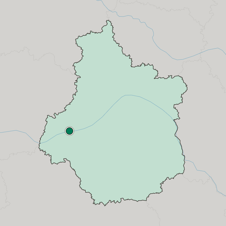
Rochepinard lies on the right bank of the Cher at the boundary with Saint-Pierre-des-Corps, bounded north by the boulevard Richard Wagner and the avenue Jacques Duclos, west by the pont ferroviaire de Bordeaux and east by the avenue Vatel, with the A10 through the middle.
Good for
Updated October 2026