United Kingdom · England · Swindon
Wichelstowe, Swindon — Area Guide & Where to Stay
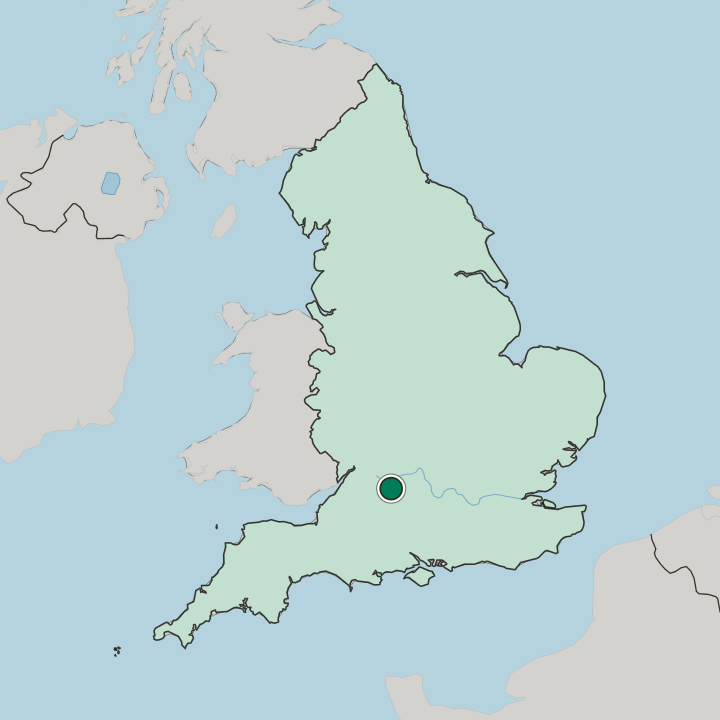
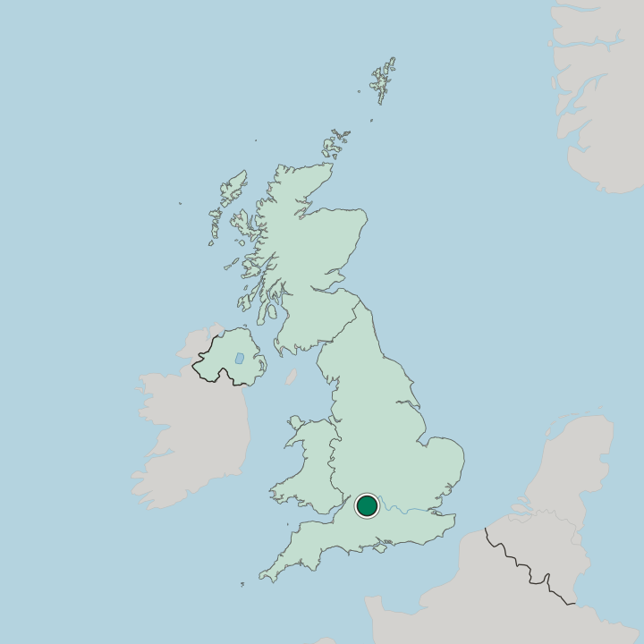
Wichelstowe is a suburb south of Swindon, 3 kilometres from the centre, laid out as East Wichel, Middle Wichel and West Wichel on the Wilts & Berks Canal.
Hotel links are affiliate links: booking through them may earn us a commission, at no extra cost to you. It never affects how places are ranked. How this works


Where to stay in Wichelstowe
The practical side of choosing where to sleep.
Wichelstowe was built to be lived in rather than stayed in, and its centre reflects that. Canalside is the district's centre. It stands on the water and holds a Waitrose & Partners that opened in April 2014 alongside a Hall & Woodhouse pub, while East Wichel keeps a smaller parade with a Co-op Food store, a dentist, a chip shop and a hair salon, and a Marston's house called The Wichel Inn on its south-eastern corner.
No overnight accommodation appears in the district's own record, so the beds are Swindon's. That is a short trip rather than a compromise: Swindon railway station is roughly 3 km north, and buses 9 and 11 run into East Wichel and Middle Wichel from Old Town and the town centre. Choose an address here for quiet streets, a towpath and a supermarket within walking distance; choose the town for range.
Find hotels in Wichelstowe
Direct booking searches for these neighbourhoods.
Wichelstowe
The district centre at Canalside was built around shops, schools and two pubs rather than lodging, and no overnight accommodation appears in Wichelstowe's own record. Rooms are few around here — worth securing early.Find hotels in Wichelstowethe range of rooms, with Wichelstowe about 3 km down the roadSwindon
Swindon holds the accommodation and the rail connection, and buses 9 and 11 link the town centre to East Wichel and Middle Wichel directly.Find hotels in SwindonHotel links are affiliate links: booking through them may earn us a commission, at no extra cost to you. It never affects how places are ranked. How this works
About Wichelstowe
What are the main landmarks in Wichelstowe?
Wichelstowe's set piece is its canal. The rebuilt Wilts & Berks Canal runs through Middle Wichel as the neighbourhood's centrepiece and is crossed there by Beavan's Bridge; the Wilts & Berks Canal Trust works the trip boat Dragonfly on the length in water between King's Hill and Wichelstowe. The first new stretch, skirting the southern fringe of East Wichel, was finished in 2011, and the design calls for a junction in the south of Middle Wichel to tie that arm into the Kingshill length.
Away from the water there is Wichel Wood, a small stand of trees east of Mill Lane, and the green corridor dividing Middle Wichel from West Wichel, whose boardwalk and playground opened in July 2025. The oldest things in reach are not part of the build at all. West Leaze Farmhouse, listed Grade II, stands about 600 metres north-east of the district's centre point, and a scheduled medieval settlement with its ridge and furrow at West Leaze covers roughly 9 hectares of the same ground, a survival of the fields that were here before 2006.
What is the history of Wichelstowe?
The name here is far older than anything standing on the ground. Wichel is how this land appears in the Domesday Book of 1086, and stowe is the Old English word for a meeting place; the compound was announced on 25 May 2006, the day the first machines went in. Everything between was farmland, and from the mid-1990s it was an argument.
Wiltshire County Council took the first proposals in 1995, the Front Garden Action Group lost a High Court challenge in 2001, planners lifted the ceiling from three thousand eight hundred houses to four and a half thousand in April 2004, and outline consent followed in August 2005. Swindon Borough Council and Taylor Wimpey financed the infrastructure jointly before reshaping the deal into a co-operation agreement in 2009, the 2008 crash having stretched a programme meant to finish by the early 2020s. Building then came in layers: East Wichel Community Primary School and the first new canal section in 2011, Waitrose & Partners in April 2014, The Deanery Academy in September 2019 and The Kingfisher Academy in September 2021.
Mill Lane, the country lane that once ran through the middle, was closed to through traffic in 2021 to stop drivers cutting between Old Town and the new streets. Wichel Way runs under the M4 motorway. Built between 2020 and 2022 at a cost of 25 million pounds, the southern access road was cut to link Wichelstowe straight out to Wharf Road and junction 16, and its opening depended on the Scott Way extension completed across 2024 and 2025.
Where is Wichelstowe?
Wichelstowe fills the gap between the M4 motorway to the south and the Old Town Railway Path to the north, with Okus and Old Town above it, Croft to the east, Wroughton to the south and Toothill and Freshbrook to the west. The M4 motorway forms the southern edge. The three neighbourhoods run in a line across that gap, Middle Wichel and West Wichel held apart by a green corridor.
An administrative seam runs through the middle of the district as well: East Wichel sits in the South Swindon civil parish and Old Town ward, while Middle Wichel and West Wichel fall in the Wroughton and Wichelstowe ward, and the same split carries up to Parliament, putting East Wichel in Swindon South and its two neighbours in East Wiltshire.
Common questions
What is the best area to stay in Wichelstowe?
Wichelstowe: a quiet canal-side address with a supermarket and a towpath at walking distance. Swindon: the range of rooms, with Wichelstowe about 3 km down the road.
Good for
More areas in Swindon
Updated September 2026