Iceland · Höfuðborgarsvæði
Where to Stay in Kópavogur, Höfuðborgarsvæði


Kópavogur is Iceland's second-largest municipality, spread across bays and low ridges just south of Reykjavík on Faxaflói.
Find your area →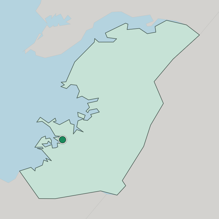
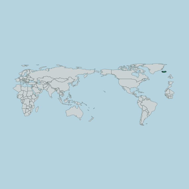
Where to stay in Kópavogur
The right area depends on your trip — here's what each neighbourhood is best for.
Kópavogur spreads along ridges and inlets, so where you sleep sets the rhythm of your stay. The older heart climbs toward Kópavogskirkja. Newer quarters fan east toward Kórinn, and the road links carry you into Reykjavík within minutes.
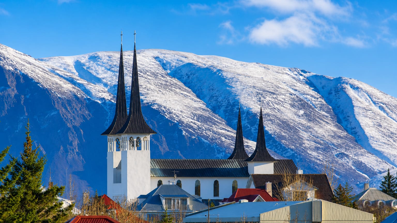
Let your mood decide which side of Kópavogur you settle on. The ridge near Kópavogskirkja keeps you among low streets, the church's pale tower and quiet walking paths down to the shore of Faxaflói. The eastern side around Kórinn trades that calm for sports nights, wide parking and quick access to the malls and halls that anchor family weekends.
Travellers who want city evenings often base here and cross the boundary into Reykjavík for nightlife and museums, then return to a quieter bed under Esja's long ridge across the bay.
Things to do in Kópavogur
Ranked by global recognition; descriptions from Wikidata (CC0).
Museums & Galleries
5- Nýlistasafnið
- Listasafn Einars Jónssonar museum in Reykjavík dedicated to the works of Icelandic sculptor Einar Jónsson
- Kjarvalsstaðir
- Saga Museum museum in Reykjavik
- Icelandic Museum of Design and Applied Art art museum in Garðabær
Churches & Religious Sites
3- Hallgrímskirkja church in Reykjavík
- Kópavogskirkja
- Háteigskirkja architectural structure
Stadiums & Sports
2- Kórinn fjölnota knatthús auditorium
- TBR Badminton Hall
worth knowingacross 3 categories in Kópavogur
About Kópavogur
Kópavogur runs on daily life.
What is Kópavogur known for?
The municipality holds the second-largest population in Iceland, yet it reads less like a downtown and more like a long sweep of homes, schools and sports halls between the bays of Faxaflói. Kórinn draws crowds to football and concerts under one wide roof. Kópavogskirkja crowns the ridge above the older streets, its white shell visible from far across the inlet.
Most visitors treat the town as a calm base beside Reykjavík.
What are the main landmarks in Kópavogur?
The skyline belongs to one building. Kópavogskirkja stands on the high ridge above the older town, a curved white church whose tower marks the municipality from far across Faxaflói and answers Hallgrímskirkja rising over neighbouring Reykjavík. Kórinn anchors the other end of town as a vast indoor hall for football and large gatherings.
Art has a home here too, in Nýlistasafnið, the artist-run Living Art Museum that has shown experimental Icelandic work for decades.
What is the history of Kópavogur?
Kópavogur came late. For most of its past the ridges and inlets south of Reykjavík were farmland and grazing on the edge of the capital, with scattered farms looking out over Faxaflói and little to mark the spot as a town. That changed in the twentieth century.
As Reykjavík overflowed its old core, families moved out onto the open land to the south, and the cluster of small holdings hardened into streets, schools and a municipality of its own within the Höfuðborgarsvæði shore. Growth set the character. The town built outward across the low ground rather than upward, filling ridge after ridge with homes as the metropolitan area spread, until it carried the second-largest population in Iceland.
Kópavogskirkja rose on the central ridge as the settlement found its centre, and later halls such as Kórinn marked a town confident enough to host the region's sport and music. The boundary with Reykjavík blurred into a single built-up shore under Esja, yet Kópavogur kept its own council, its own name and the quieter, residential temper that still sets it apart from the downtown across the line.
Where is Kópavogur?
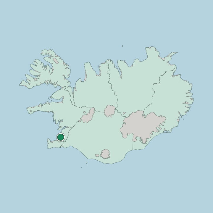
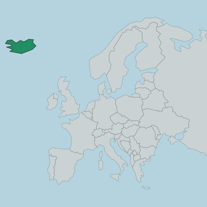
Water shapes the town. Kópavogur sits on the inner shore of Faxaflói in south-western Iceland, where two shallow inlets bite into the land and split the municipality into a run of low ridges and bays. Reykjavík presses against it to the north and Hafnarfjörður to the south, so the three blur into one metropolitan shore along the bay.
The ground is young volcanic rock, ridged and rising gently inland toward the heath. Across the water the long basalt wall of Esja frames the view north on a clear day.
What is the climate of Kópavogur?
The bay keeps the extremes off. Faxaflói and the open Atlantic give Kópavogur a cool maritime climate where summers stay mild and grey-bright while winters hover near freezing rather than plunging the way Iceland's interior does. Wind rules the year, sweeping off the water and trading rain, sun and squalls within a single afternoon.
Snow comes and goes through the dark months, and the swing from near-endless summer light to deep winter darkness sets the rhythm of life under Esja across the bay.
How do you get to Kópavogur?
Most arrivals come through Reykjavík. The international airport on the peninsula to the south-west feeds a fast road that runs straight past Kópavogur, and the smaller Reykjavík airport handles flights within Iceland a short hop to the north. On the ground the town folds into the metropolitan bus network, with frequent links along the Faxaflói shore.
A hired car is the easiest way to reach the ridges, the malls and the road out to the rest of the island.
Good for
More cities in Höfuðborgarsvæði
Updated July 2026