Japan · Aichi-ken · Nagoya
Haruta, Nagoya — Area Guide & Where to Stay
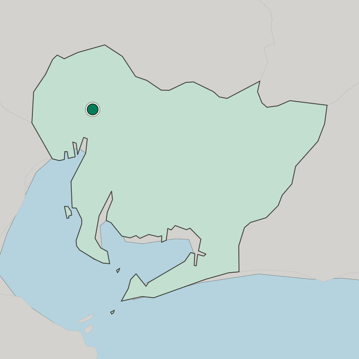
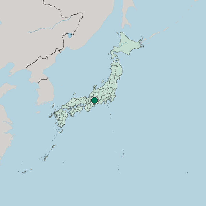
Haruta is a district of Nakagawa-ku in western Nagoya, Aichi Prefecture, lying between the Shinkawa and the Toda River. Haruta Station opened in 2001.
Hotel links are affiliate links: booking through them may earn us a commission, at no extra cost to you. It never affects how places are ranked. How this works


Where to stay in Haruta
The practical side of choosing where to sleep.
Haruta suits a stay built around the Kansai Main Line rather than the centre of Nagoya, since Haruta Station sits at the middle of the district. The streets around it are low-rise and residential, and the Tomita branch office of the Nakagawa ward hall stands in Haruta 3-chōme. Little of the area is given over to visitors.
About Haruta
What are the main landmarks in Haruta?
Haruta has no monument of note. Shinmeisha, a shrine in Haruta 5-chōme, stands near Kaemoto Park. Nagoya Municipal Haruta Elementary School spells the name Haruda, against the reading the railway and the neighbourhood both use.
What is the history of Haruta?
Haruta descends from a village of the same name in Kaitō District, recorded from the Kamakura period, and a map of the Tomita estate drawn in the first half of the 14th century already marks Haruta-ri. The Owari no Kuni Chimei Kō derives the name from harita, a term for reclaimed field. The village passed to Toda in 1889, to Tomita in 1906, and into Nakagawa-ku of Nagoya in 1955.
Haruta 1-chōme through 5-chōme followed in 1980.
Where is Haruta?
The Shinkawa and the Toda River mark the eastern and western edges of the district, both running north to south. National Route 302, part of the Nagoya Ring Road 2, crosses on the same axis, and Aichi Prefectural Route 29 cuts across from east to west. Local usage stretches the name well beyond those blocks.
Updated September 2026