Mexico · Estado de Guanajuato
Where to Stay in San Miguel de Allende, Estado de Guanajuato


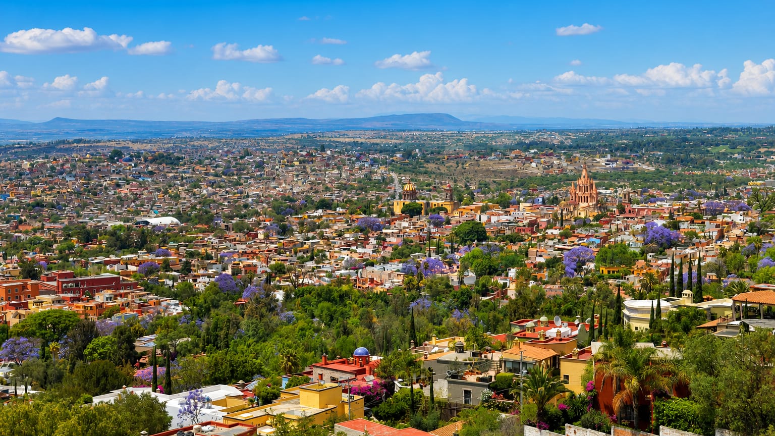
Stone streets climb through San Miguel de Allende, a colonial city in the Bajío of Guanajuato, central Mexico, its old town a World Heritage Site.
Find your area →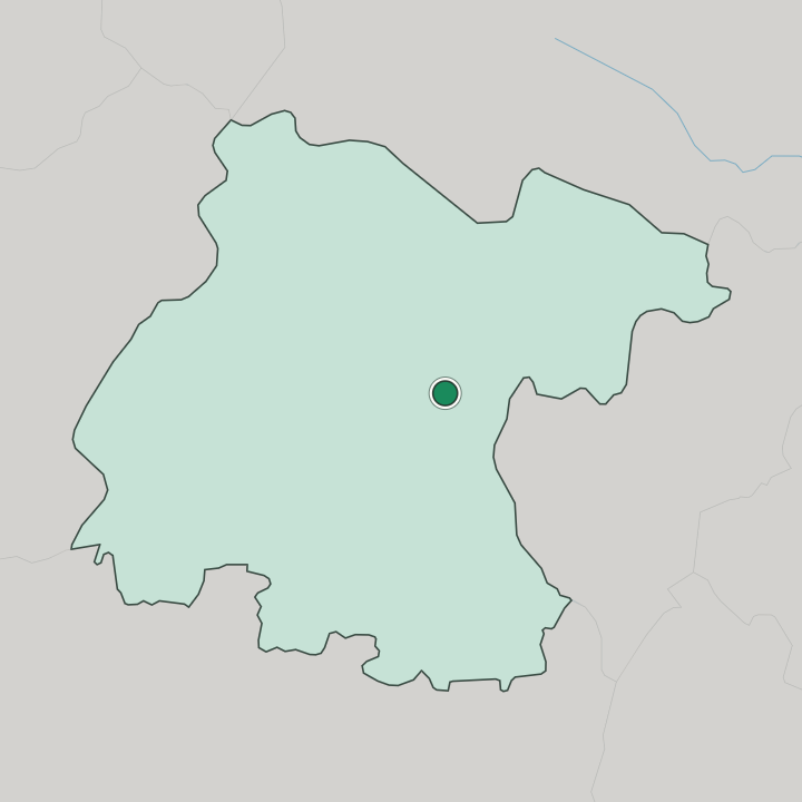


Where to stay in San Miguel de Allende
Not every neighbourhood fits every trip — here's what each one is good for.
San Miguel de Allende gathers most of its rooms in and around the World Heritage old town, and where you stay turns on how far from the central plaza you want to be. The historic centre holds the tightest run of stone streets, with the Museo Casa de Allende and the Museo Casa del Mayorazgo de la Canal a short walk apart. Streets are steep here.
The plaza sits at the middle of it all. Uphill from the centre, quieter lanes climb the Bajío slope toward wider views over the town and the hills of Guanajuato. These streets trade the bustle of the plaza for calm and a longer walk down.
Along the fringes of the old town, larger houses and gardens sit near the Museo La Esquina and the folk collections. Base yourself in the centre for the museums and the plaza, or higher up for the view and the quiet.
About San Miguel de Allende
What is San Miguel de Allende known for?
San Miguel de Allende is known for its colonial old town, a World Heritage Site set in the Bajío hills of Guanajuato. Cobbled lanes rise to the central plaza. The Museo Casa de Allende marks the house of Ignacio Allende, a figure of Mexican Independence, and the Museo Casa del Mayorazgo de la Canal holds a grand old family seat.
Craft and folk collections fill the Museo La Esquina and the Museo de la Máscara. The draw reaches far.
What are the main landmarks in San Miguel de Allende?
San Miguel de Allende sets its landmarks across the World Heritage old town. The Museo Casa de Allende occupies the house of Ignacio Allende, right on the central plaza, and the Museo Casa del Mayorazgo de la Canal fills a grand colonial residence a short walk away. Devotional building shows in the Capilla de la Santa Casa de Loreto.
Two collections hold the town's crafts. Folk and mask work gather at the Museo La Esquina and the Museo de la Máscara, while the Monumento a Colón stands among the stone streets. Together they carry the colonial weight.
What is the history of San Miguel de Allende?
San Miguel de Allende was founded in 1542 and takes the first half of its name from the friar Juan de San Miguel. The settlement rose in the Bajío of central Mexico, on the frontier of Spanish colonization. It sat on the edge.
San Miguel de Allende stood as a critical point during the Chichimeca War, the long conflict from 1540 to 1590 in which the Chichimeca held back the Spanish Empire through the early phases of that colonization. The town grew as a colonial stop toward the interior. The second half of the name honours Ignacio Allende.
He was born in a house facing the central plaza, and became a martyr of Mexican Independence. That house is now the Museo Casa de Allende, kept on the plaza. The old section of the town, its stone streets and colonial residences intact, was later proclaimed a World Heritage Site within Guanajuato.
Where is San Miguel de Allende?
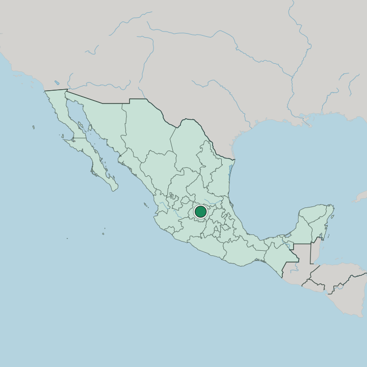
San Miguel de Allende lies in the far eastern part of Guanajuato, in the Bajío region of central Mexico. The town sits high. It rests among the Bajío hills, on high ground away from any coast, with Querétaro to the east and the state capital of Guanajuato to the west.
Mexico City stands to the south-east, across the interior plateau. Stone streets climb the slopes.
What is the climate of San Miguel de Allende?
San Miguel de Allende has a mild highland climate set by its place in the Bajío. Days run warm and bright for much of the year. Nights turn cool on the high ground, and the seasons split between a dry stretch and a summer of afternoon rains that build over the Guanajuato hills.
The altitude keeps the heat in check even under a strong sun. Skies stay clear through the long dry months.
How do you get to San Miguel de Allende?
San Miguel de Allende sits within reach of the main routes across the Bajío. Roads link it east to Querétaro and west to the state capital of Guanajuato, tying the town into central Mexico's highway network. Buses run these corridors daily.
From the south-east, the long road up from Mexico City crosses the interior plateau to the Bajío. The nearest large airports lie near Querétaro and toward Guanajuato, a drive from the old town.
Good for
Updated July 2026