Mexico
Estado de Guanajuato, Mexico — Towns & Travel Guide


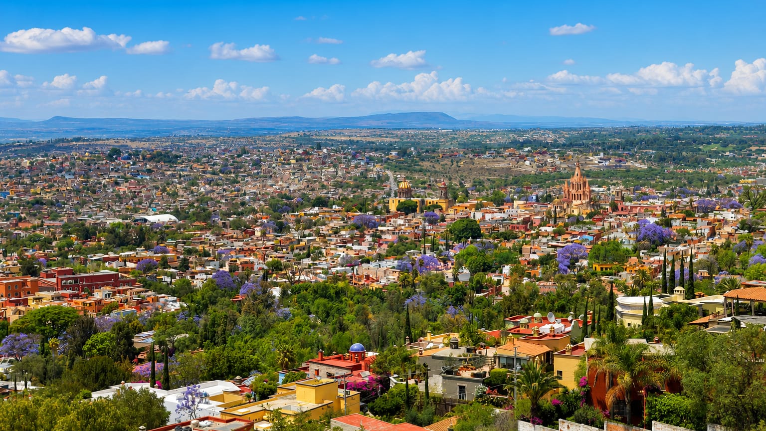
Guanajuato is a silver-rich state in the Bajío highlands of central Mexico, its colonial cities born from the mines that once funded an empire.
Find your area →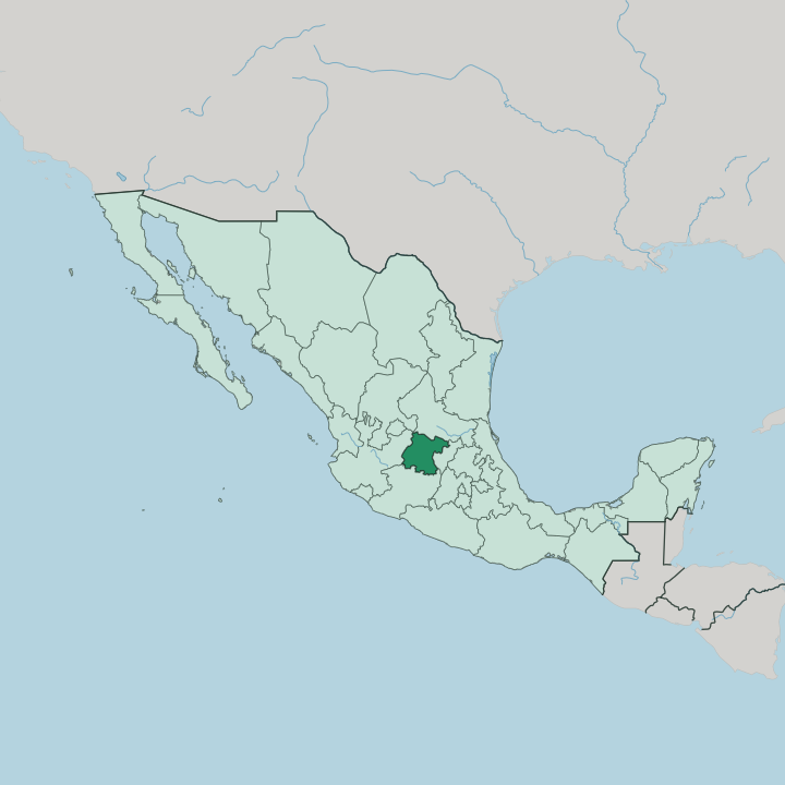


Towns & cities in Estado de Guanajuato
Pick a town or city — each links to where to stay.
 Mexico
San Miguel de Allende
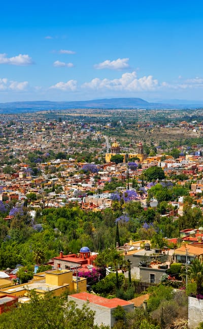
Stone streets climb through San Miguel de Allende, a colonial city in the Bajío of Guanajuato, central Mexico, its old town a World Heritage Site.Where to stay →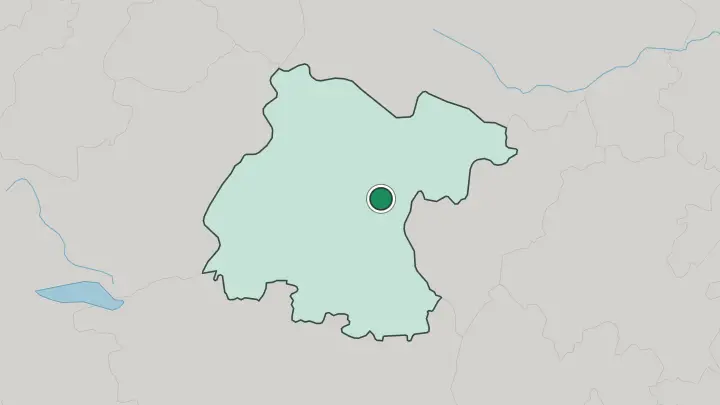
About Estado de Guanajuato
Silver built this state.
What is Estado de Guanajuato known for?
The mines around the capital, Guanajuato, drew Spanish wealth for two centuries, and their fortune paved the steep lanes and domed churches that later earned the old town a place on the UNESCO list. San Miguel de Allende draws painters and retirees to its cobbled centre. The Grito de Dolores rang out at Dolores Hidalgo in 1810, the shout that opened Mexico's war for independence.
León turns out much of the country's footwear. Every October the Festival Internacional Cervantino fills Guanajuato's plazas with theatre and music.
Where is Estado de Guanajuato?
Guanajuato lies in the middle of Mexico, part of the fertile lowland belt called the Bajío. It shares borders with five states. Jalisco flanks it to the west, Michoacán to the south, Querétaro to the east, and San Luis Potosí and Zacatecas close it off along the north. Most of the state rides high, its tableland lifted roughly two kilometres above the sea, where three of Mexico's great physical regions overlap: the tail of the Sierra Madre Oriental, the arid Mexican Plateau, and the volcanic spine of the Trans-Mexican Volcanic Belt.
The land is not flat. The Sierra de Guanajuato rears up through the centre, a broken ridge of old mining country whose ravines hide the capital itself. South and west of those hills the ground drops into the Bajío proper.
This basin drains toward the Río Lerma, the long river that gathers the Turbio and the Laja and waters some of the richest farmland in the country. Wheat, sorghum, and strawberries grow across the plain around Irapuato. The big working cities line the same low corridor.
León spreads across the western edge, with Salamanca, Irapuato, and Celaya threaded east along the valley, while the capital sits apart, folded into its mountain gorge. Water and altitude set the pattern. The plain feeds the state, and the sierra made its name.
What is Estado de Guanajuato like?
Culture here grows out of the mining towns and the university that fills them. In the capital, students of the Universidad de Guanajuato spill into the callejones at night as estudiantinas, costumed singers who lead visitors up the alleys with guitars and bawdy jokes. The narrowest of those lanes, the Callejón del Beso, is barely wider than a doorway, close enough for lovers on opposing balconies to kiss.
Down the hill stands the Teatro Juárez, a columned opera house finished in 1903, where each October the Festival Internacional Cervantino brings orchestras, dancers, and street theatre from across the world. The festival began as open-air stagings of short Cervantes plays. It grew into the largest arts gathering in Latin America.
A stranger draw sits above the old cemetery: the Mummies of Guanajuato, bodies that the mineral soil dried and kept, displayed behind glass. San Miguel de Allende keeps a different rhythm, its art schools and galleries filled by painters and sculptors from Mexico and abroad. Dolores Hidalgo trades on painted ceramics and unusual ice creams.
Spanish carries all of it. Under all of it lies the wealth of the silver years, written into gilt altars and stone facades the mines paid for.
What is the history of Estado de Guanajuato?
Silver made Guanajuato. Spanish prospectors struck rich veins in these hills through the sixteenth century, and the Valenciana mine above the capital grew into one of the greatest silver works on earth, filling the treasuries of New Spain. That wealth turned political in 1810.
In the town of Dolores, the priest Miguel Hidalgo rang his church bells and called for revolt, the Grito that began Mexico's independence war. The first battle followed at the Alhóndiga de Granaditas, the fortified granary in the capital, stormed after a miner nicknamed El Pípila burned its doors. Guanajuato became a state in 1823.
What is the climate of Estado de Guanajuato?
Altitude tempers the heat. Sitting high on the plateau, Guanajuato holds a mild, semi-arid climate rather than the tropical warmth its position might suggest. Rain keeps to the summer.
From June into September thunderstorms break over the Bajío most afternoons, greening the farmland, while the rest of the year stays dry and dusty. Spring is the hottest stretch, the months before the rains arrive. Winter days are warm and its nights can drop close to freezing in the sierra, where the thin highland air loses its heat fast after dark.
How do you get to Estado de Guanajuato?
One airport carries the state. Del Bajío International Airport sits near Silao, midway between León and the capital, and it takes flights from the big Mexican hubs along with several cities in the United States. Travellers headed for San Miguel de Allende often land at Querétaro instead, a shorter drive east. Mexico City lies some 390 kilometres to the southeast, roughly four hours away on the frequent first-class buses that stitch the Bajío towns together.
Inside the state a car helps. But the capital's tunnels and one-way lanes are easier left to a taxi.
Common questions
What is the best area to stay in Estado de Guanajuato?
San Miguel de Allende: art studios and cobbled evenings.
Good for
Updated July 2026