Mexico · Estado de Tamaulipas · Reynosa
Los Cavazos, Reynosa — Area Guide & Where to Stay
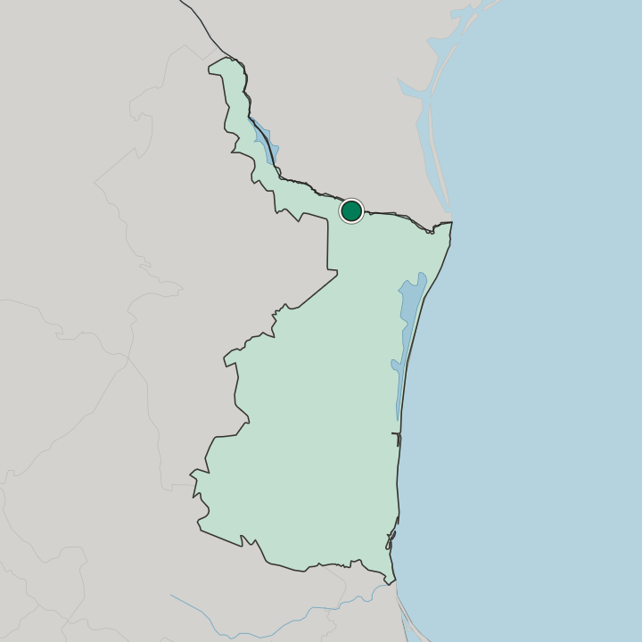
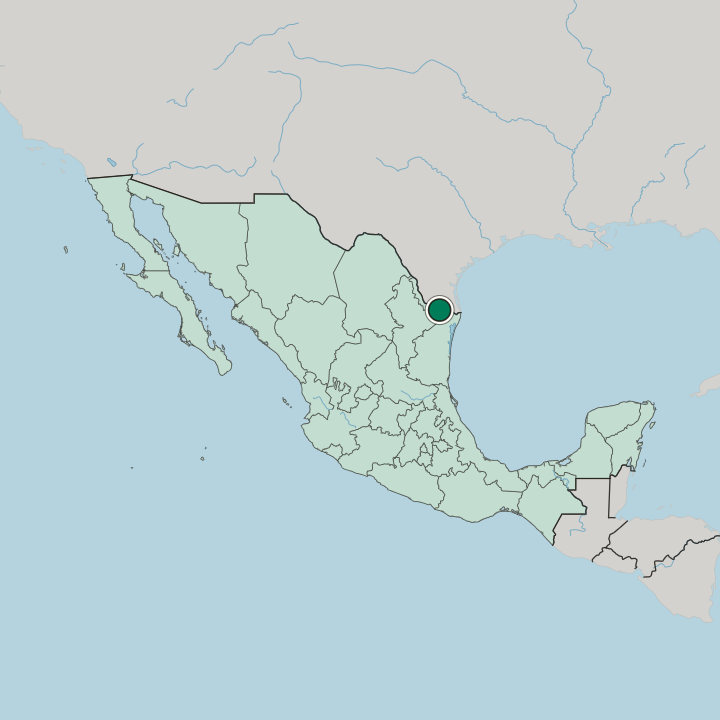
Los Cavazos sits north-west of Reynosa, on the Tamaulipas bank of the Río Bravo, with Federal Highway 2 and a freight railway at its edge.
Hotel links are affiliate links: booking through them may earn us a commission, at no extra cost to you. It never affects how places are ranked. How this works


Where to stay in Los Cavazos
Where the beds are, and what that means for the visit.
INEGI files Los Cavazos as a rural locality, which sets the expectation for a stay. Federal Highway 2 runs along the northern edge and Federal Highway 40 clips the southern side, and Reynosa's own streets lie some nine kilometres south-east down either of them. Xochipilli and La Bocatoma, the nearest neighbours, are smaller again.
Highway 2 does the connecting.
Find hotels in Los Cavazos
Direct booking searches for these neighbourhoods.
The Highway 2 edge
The strip of Los Cavazos fronting Federal Highway 2, the road threaded between the village and the Río Bravo. Few places to stay nearby — book ahead.Find hotels in The Highway 2 edgeAnyone who wants a served room and treats Los Cavazos as a daytime stopCentral Reynosa
Reynosa's built-up streets around the municipal seat, some nine kilometres south-east of Los Cavazos by Federal Highway 2Find hotels in Central ReynosaHotel links are affiliate links: booking through them may earn us a commission, at no extra cost to you. It never affects how places are ranked. How this works
About Los Cavazos
What are the main landmarks in Los Cavazos?
Nothing inside Los Cavazos carries a catalogue entry. What sits a kilometre or two south-east is water engineering: the Anzalduas Dam, which the register puts on the Hidalgo County side in Texas, the Canal Anzaldúas leaving the river below it, and the two small localities of La Bocatoma and CNA (Las Compuertas). Petroquímica Reynosa lies just south.
Xochipilli sits nearer still, north-west along the road.
What is the history of Los Cavazos?
INEGI's historic locality archive runs the count back to 1940, when Los Cavazos held fewer than sixty people. Every census after that returned a larger figure, and by 2010 the village had grown close to forty times over, tracking the climb of Reynosa itself. Then 2020 broke the run.
The 2020 census came back under the 2010 one, even as Reynosa's own count kept rising.
Where is Los Cavazos?
Under a kilometre north of Los Cavazos the Río Bravo turns and the United States begins; the village itself stands on a lomerío at forty-four metres.
Common questions
What is the best area to stay in Los Cavazos?
The Highway 2 edge: Drivers aiming at the Anzaldúas water works or the border highway running west. Central Reynosa: Anyone who wants a served room and treats Los Cavazos as a daytime stop.
Updated September 2026