Malaysia · Selangor
Where to Stay in Kajang, Selangor
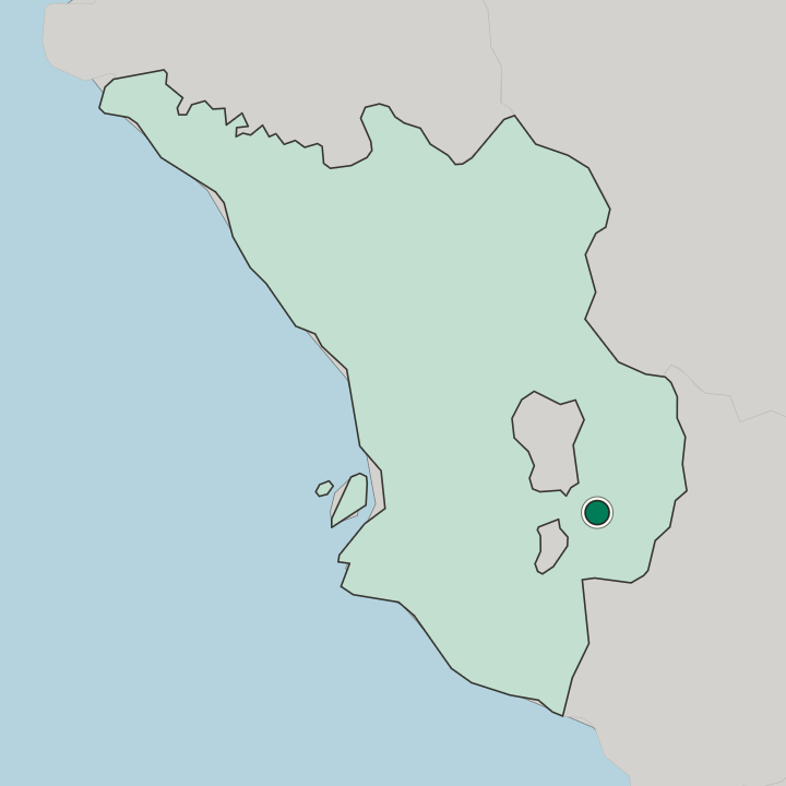
Kajang stands on the eastern bank of the Langat River in Hulu Langat District, ringed by Cheras, Semenyih, Bangi and Seri Kembangan.
Hotel links are affiliate links: booking through them may earn us a commission, at no extra cost to you. It never affects how places are ranked. How this works


Where to stay in Kajang
One nearby area has its own guide — here's what it is best for.

 Malaysia

Seri Kembangan
Seri Kembangan runs into Kajang without a break in the built-up corridorThe Seri Kembangan corridor →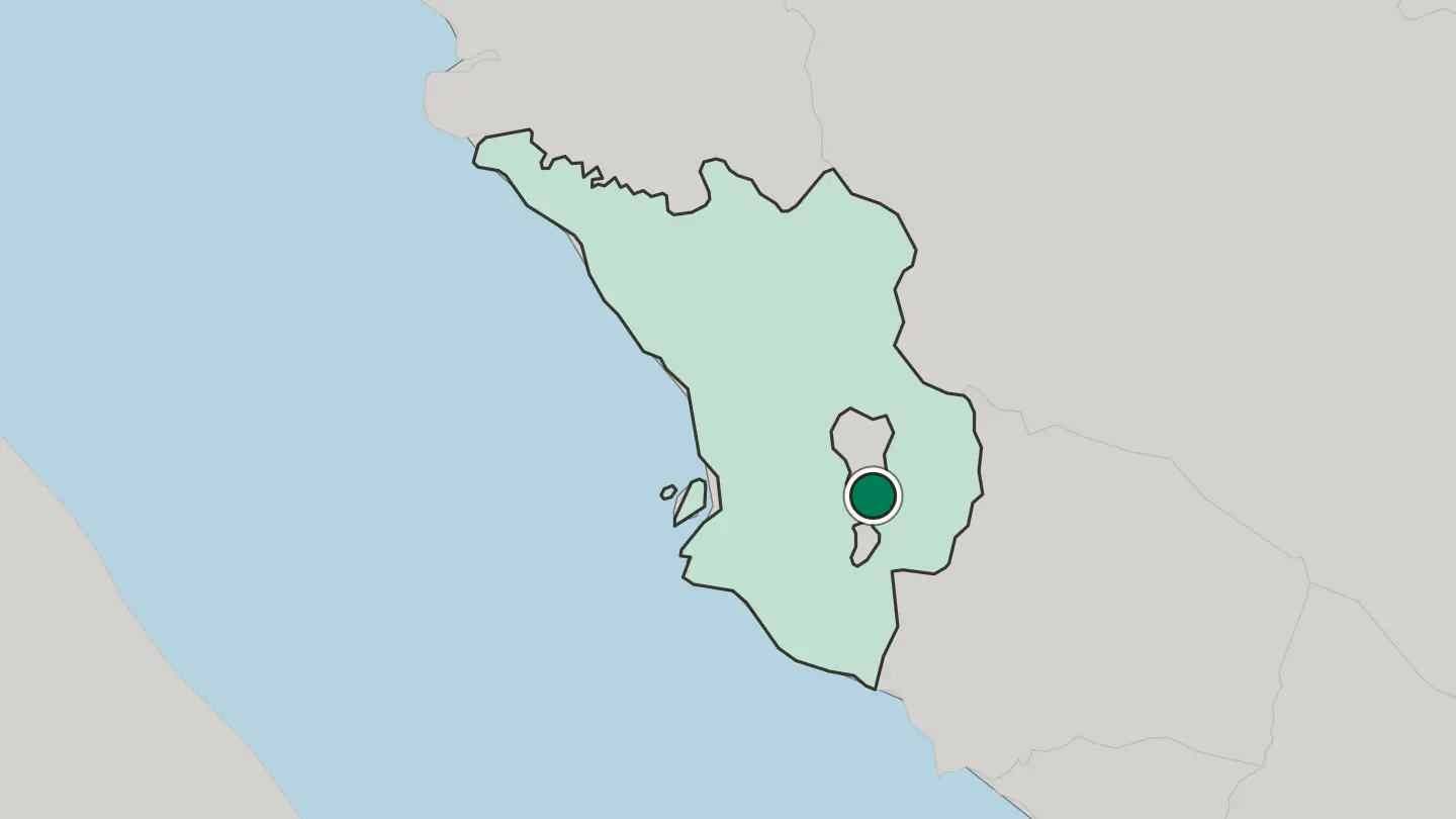
Hotel links are affiliate links: booking through them may earn us a commission, at no extra cost to you. It never affects how places are ranked. How this works
Find hotels in Kajang
Direct booking searches for these neighbourhoods.
The eastern bank of the Langat River
The Langat River bank carries the oldest built-up ground in Hulu Langat DistrictFind hotels in The eastern bank of the Langat RiverQuieter ground with the Putrajaya Landmark inside a short driveTowards Bangi and Putrajaya
Bangi sits between the Kajang centre and the Putrajaya approachFind hotels in Towards Bangi and PutrajayaDay trips out of Kajang towards SemenyihThe Semenyih side
Semenyih keeps houses further apart and offers very few rooms of its own. Lodging is scarce in this area; reserve in advance.Find hotels in The Semenyih sideHotel links are affiliate links: booking through them may earn us a commission, at no extra cost to you. It never affects how places are ranked. How this works
About Kajang
Two heritage collections carry the record.
What is Kajang known for?
The Kajang Heritage Centre and the Malay Heritage Museum both sit inside the built-up ground that the Kajang Municipal Council administers, and the Selangor Turf Club stands among the landmarks reachable from the same short radius. Racing pulls its own crowd. Away from that, Kajang works as the market and administrative anchor of Hulu Langat District, taking traffic in from Semenyih, Bangi and Cheras rather than from Kuala Lumpur alone.
What are the main landmarks in Kajang?
Heritage halls lead. The Kajang Heritage Centre keeps the town's own record, and the Malay Heritage Museum covers the wider material culture of the Malay world from a site within reach of the same centre. Horses account for the rest.
The Selangor Turf Club is the largest single fixture listed near the town, and the Putrajaya Landmark stands off to the south-west, close enough that visitors staying in Kajang routinely take it in.
What is the history of Kajang?
Kajang dates from 1807. The settlement took hold on the eastern banks of the Langat River, and it was the river rather than any hill or coastline that fixed its position, since Hulu Langat District runs well inland from the sea and the water was the route in. Selangor had other centres then.
Kuala Lumpur had not yet drawn the region's weight to the north-west, and the towns of the interior answered to the rivers that reached them. Growth came from the ring, not the core. Cheras, Semenyih, Bangi and Serdang each thickened along the roads that met at the Langat crossing, and Kajang held the position where those approaches converged.
Administration followed settlement. The Kajang Municipal Council came to govern the town along with much of Hulu Langat District, which is why the district's offices, courts and market functions cluster here rather than in any of the larger neighbours. Putrajaya changed the southern approach.
A new administrative centre rising on that side gave the Putrajaya Landmark a place in the everyday geography of people living in Kajang, and the corridor through Seri Kembangan tied the town more firmly into the built-up sprawl reaching out from Kuala Lumpur. The record is kept in two rooms. The Kajang Heritage Centre holds the town's own account, while the Malay Heritage Museum sets it in a wider frame, and the Selangor Turf Club marks a different strand of the same century of change.
Where is Kajang?
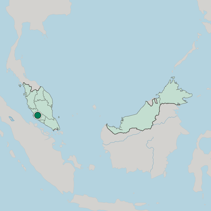
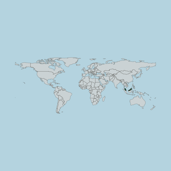
The Langat River is the reference line. Kajang occupies the eastern banks of that river within Hulu Langat District, a stretch of interior Selangor with no coast of its own and no single dominant relief feature to break up the built ground. Other towns crowd every edge.
Cheras and Seri Kembangan lie towards Kuala Lumpur, Bangi and Putrajaya to the south-west, and Semenyih carries the settled ground on southwards.
What is the climate of Kajang?
Heat is a constant, not a season. Sitting in the tropical band beside the Langat River, the town sees daytime warmth barely shift across the year, and the real variation comes from rainfall that arrives in heavy afternoon bursts and clears as fast as it builds. Humidity stays high.
Downpours can put water over the low ground beside the river inside an hour, and Semenyih, Bangi and Cheras take the same weather on the same afternoons.
How do you get to Kajang?
Approaches converge at the river. Roads from Cheras and Seri Kembangan bring in most of the traffic from Kuala Lumpur, while the southern routes run up from Bangi, Putrajaya and Semenyih towards the same crossing of the Langat River. Arrivals rarely stop at the boundary.
The built-up ground of Hulu Langat District runs on past Kajang in several directions, so the change from one town to the next registers on a sign rather than on the ground.
Common questions
What is the best area to stay in Kajang?
The eastern bank of the Langat River: Walking to the Kajang Heritage Centre and the council offices. The Seri Kembangan corridor: Drivers splitting a stay between Kajang and Serdang. Towards Bangi and Putrajaya: Quieter ground with the Putrajaya Landmark inside a short drive. The Semenyih side: Day trips out of Kajang towards Semenyih.
Good for
More cities in Selangor
Updated October 2026