Niger: Regions, Cities & Travel Guide
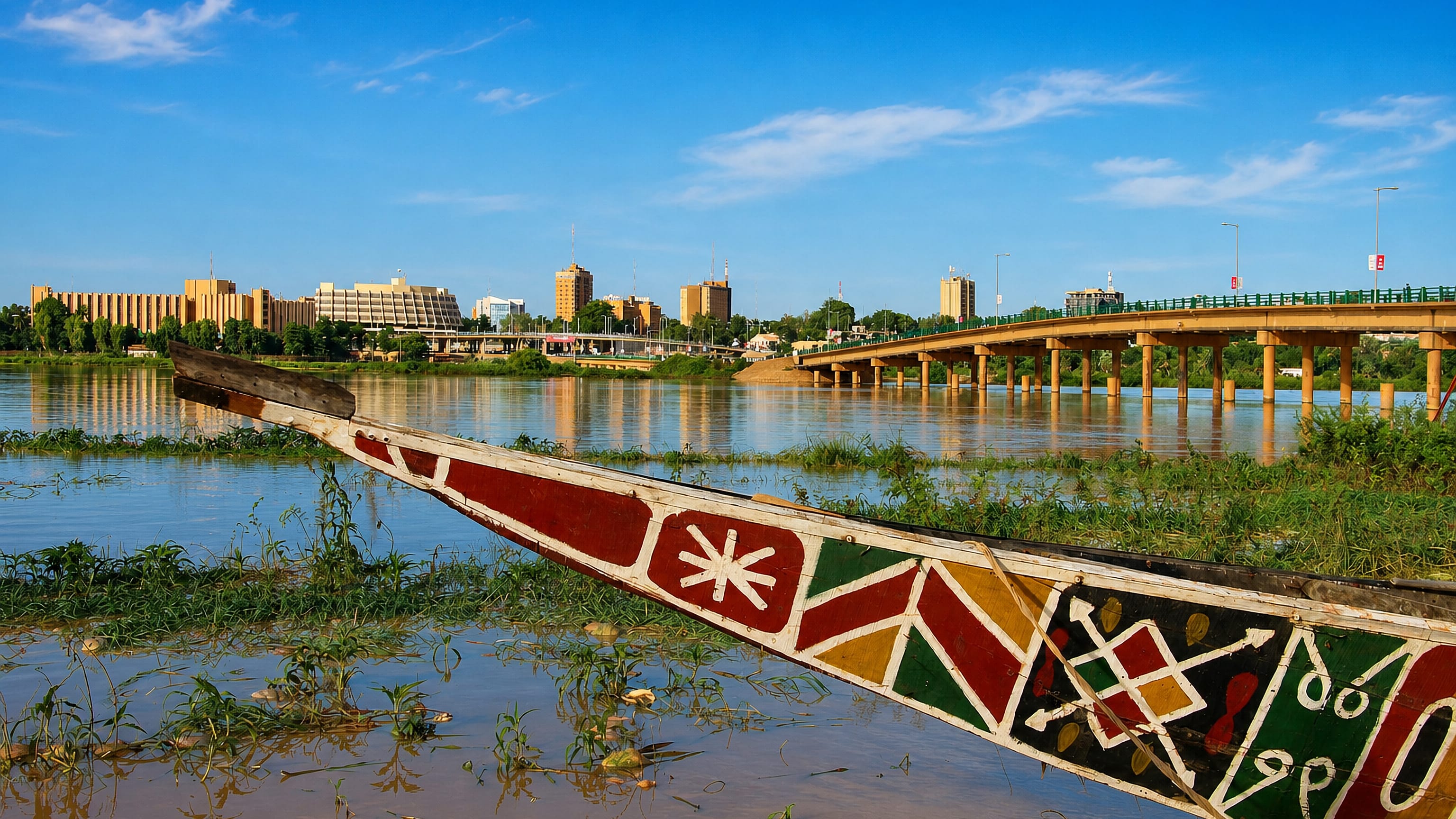
Niger is a landlocked country in West Africa, its capital Niamey set on the Niger River in the far south-west.
Hotel links are affiliate links: booking through them may earn us a commission, at no extra cost to you. It never affects how places are ranked. How this works


Top destinations in Niger
Cities to start from, then drill into areas and hotels.

 Niger
Niger
Niamey
Low along the Niger River, Niamey is the calm, modern capital of Niger, known for its open-air markets, the Grand Mosque and views over the water.Where to stay →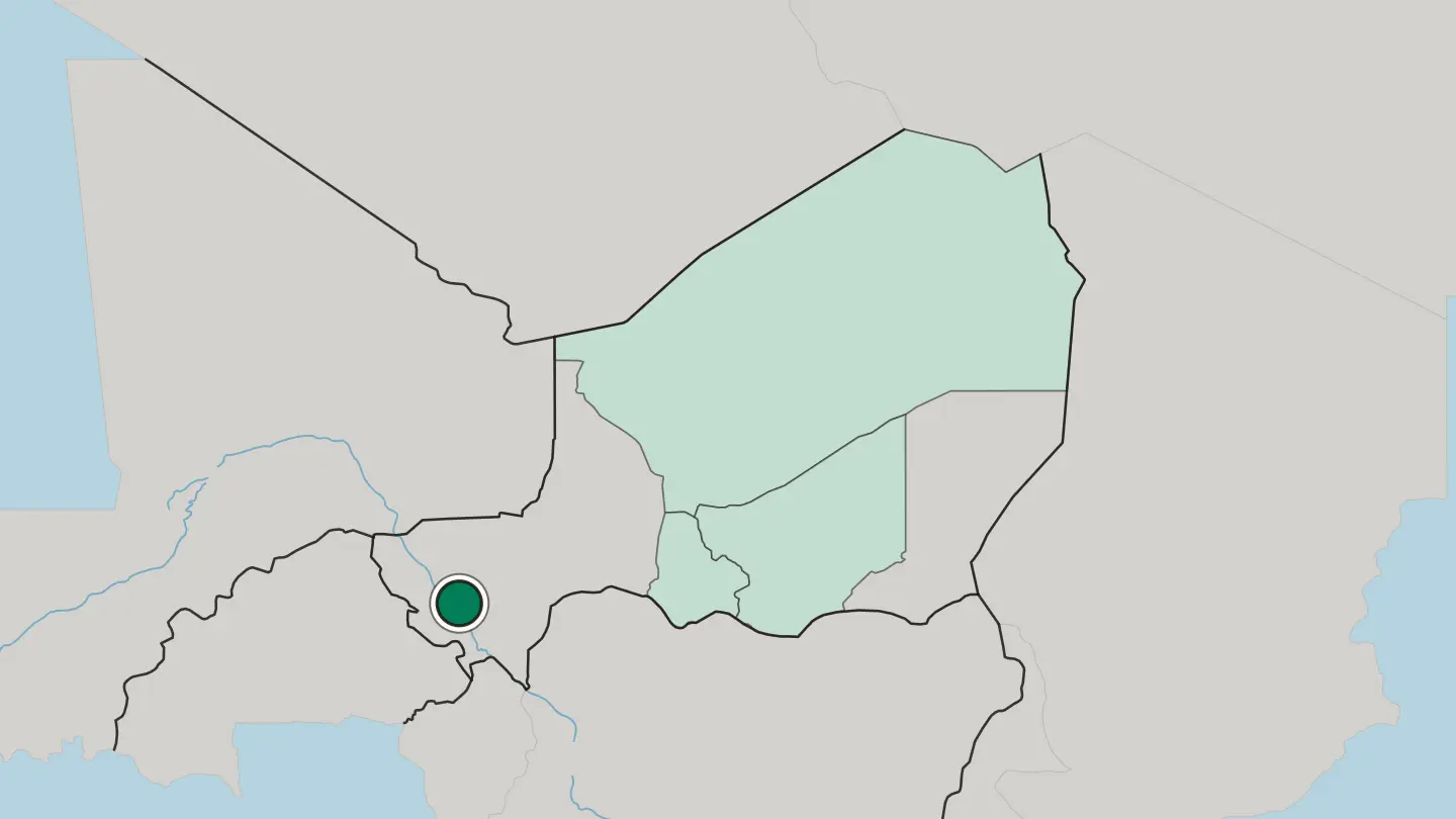
 Niger
Niger
Agadez
Agadez is an ancient Saharan city in northern Niger, a Tuareg town of mud-brick famous for its towering mosque.Where to stay →
 Niger
Niger
Zinder
Zinder stands well inland in Niger, east of the capital Niamey and north of Kano, with the old quarter of Birni at its centre.Where to stay →
 Niger
Niger
Maradi
Maradi is the administrative centre of Niger's Maradi Region, a trading city on ground running north from Kano and Katsina over the Nigerian border.Where to stay →
Hotel links are affiliate links: booking through them may earn us a commission, at no extra cost to you. It never affects how places are ranked. How this works
Regions of Niger
Niger
Agadez
Agadez Region is the largest of Niger's seven regions, covering more than half the country, with its capital at the historic city of Agadez.Towns & cities →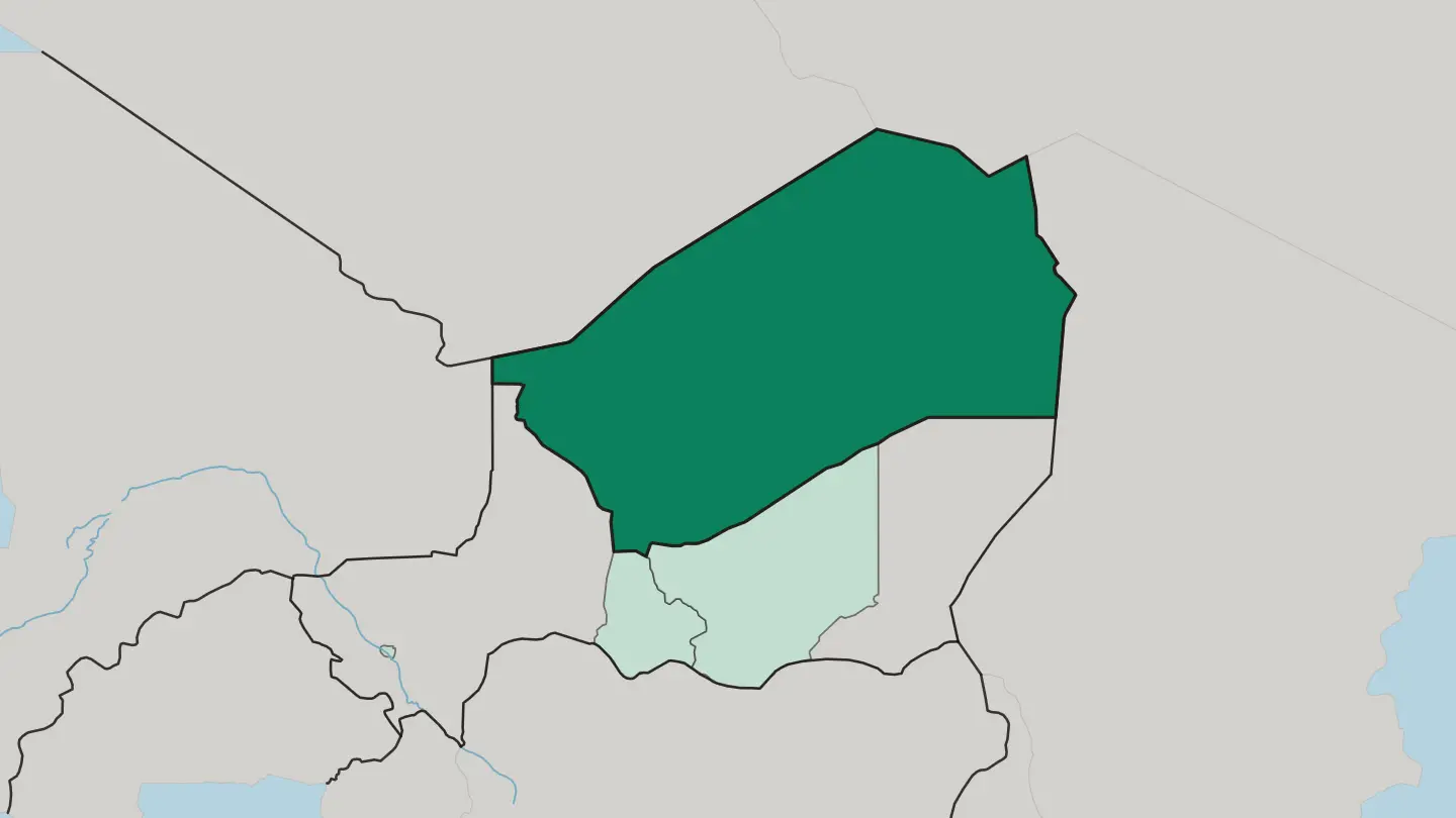 Niger
Niger
Maradi
Maradi is a region of Niger on the border with Nigeria, administered from the city of Maradi, which lies north of Katsina.Towns & cities →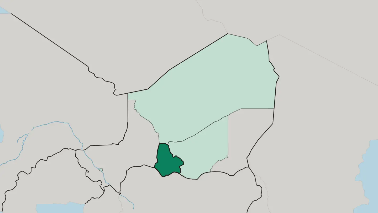 Niger
Niger
Niamey
Niamey Region wraps the capital of Niger where the Niger River bends through the country's west, a small territory ringed by Tillabéri.Towns & cities →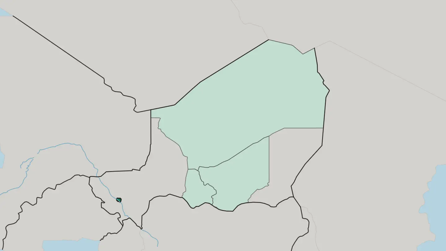 Niger
Niger
Zinder
Zinder Region is the most populous of Niger's seven regions, with its capital at the city of Zinder.Towns & cities →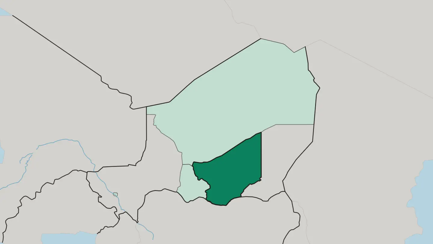
About Niger
Niger is Saharan almost everywhere you look.
What is Niger known for?
More than eighty percent of the land is desert, and the Aïr Mountains rise from that dry plateau above the dune sea of the Ténéré. The medieval Sultanate of Agadez left a mud-brick minaret that still marks the old caravan town, while the Niger River waters the crowded south-western corner around Niamey. Camels, millet fields, and blues guitar.
Few countries feel this far from the sea.
Where is Niger?
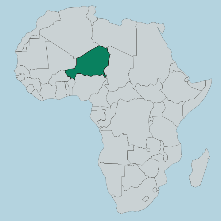
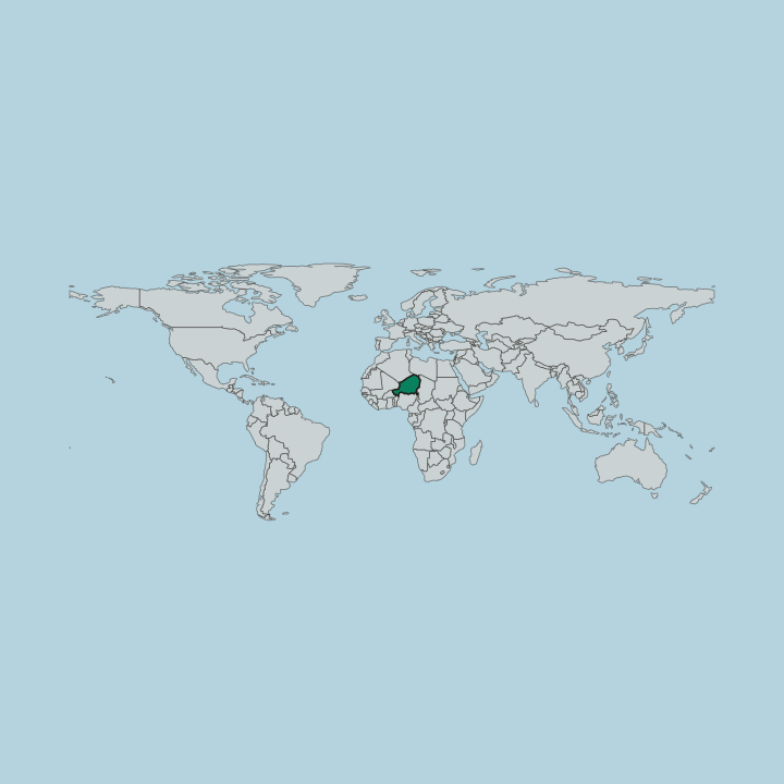
Niger is the largest landlocked country in West Africa, and the Sahara claims most of it. The desert covers the northern two-thirds of the territory, a span of shifting dunes, gravel plains, and bare rock reaching toward the borders with Algeria and Libya. Out of that emptiness lifts the Aïr Mountains.
This triangular massif of nine near-circular ranges rises above the surrounding plateau, and its Mont Idoukal-n-Taghès stands as the highest point in the country. East of the Aïr spreads the Ténéré, one of the most desolate stretches of the whole Sahara, edging into the great dune sea of the Erg of Bilma where salt caravans once crossed. Life concentrates in the south.
A narrow Sahelian belt runs along the country's bottom edge, and it is here, on grassland thinning toward the desert, that nearly everyone lives. The Niger River clips the far south-western corner, curving past Niamey before it slides on into Nigeria and Benin. That river is the country's only major watercourse.
Everything else depends on the short rains and the wells. Between the green riverbanks and the empty north lies almost every kind of dry-country terrain the continent can offer.
What is the history of Niger?
Niger sits at an old crossroads of the Sahara, and trade shaped it long before any modern border. From the fifteenth century the Songhai Empire pushed east out of the Niger bend and drew the western districts into its orbit, until a Moroccan army broke that state in 1591. Further north, Tuareg power built its own kingdom.
The Sultanate of Agadez took form around 1449, growing rich on the salt and gold that camel caravans carried between the desert and the forest edge. Along the southern tier, Hausa city-states such as Zinder and Maradi thrived on the same commerce. The French arrived late and with force.
Conquest began in 1899 against fierce resistance, and a formal colonial administration was not settled until the 1920s, after a long Tuareg revolt was crushed. Paris treated the territory as a poor and distant backwater and invested almost nothing in it. Independence came on 3 August 1960, under the schoolteacher Hamani Diori.
The young republic inherited a vast, arid land and only a handful of secondary-school graduates. Its story is one of endurance across the sand.
What is Niger like?
Niger is a mosaic of peoples who share the Sahel between them. The Hausa are the largest group, farmers and traders of the south whose talking drums and market towns set much of the national rhythm, and alongside them live the Zarma of the river country, the cattle-herding Fulani, and the Tuareg of the deep desert. Islam binds nearly all of them.
It arrived with the caravans and stayed to shape law, learning, and the calendar. Music carries the country's spirit outward. The hypnotic desert blues of the Tuareg has found audiences far beyond the Aïr, while Hausa court music rings out with the long kakaki trumpet on ceremonial days.
Millet feeds almost every table, pounded into the thick porridge that anchors a meal. Craft runs deep here too, from Tuareg silverwork to the leather of the tanners. Each year the nomads gather at the Cure Salée, driving their herds to the salt pastures near Ingall for a great festival of camel races, courtship dances, and reunion.
The mud-brick minaret of the Great Mosque of Agadez towers over it all, one of the tallest earthen buildings anywhere. Old skills endure.
What is the climate of Niger?
Niger ranks among the hottest countries on earth. The Sahara covers the north, where the air is bone-dry and rain almost never falls, while the southern Sahel gets a single short wet season. Those rains arrive between June and September, heaviest around Niamey and the river.
Before them come the fierce heat months of March through May, when afternoons across the south climb far above forty degrees and the harmattan wind hauls dust off the desert. Water is the country's scarcest gift.
How do you get to Niger?
Nearly everyone flies into Niamey. Diori Hamani International Airport sits just south-east of the capital and handles the country's main connections, with regular links to Casablanca, Addis Ababa, Istanbul, and neighbouring West African hubs like Ouagadougou. There is no coastline and no passenger rail.
From the airport a short taxi ride reaches the city centre, and from Niamey overland routes fan east toward Zinder or north across the Sahel toward Agadez. Distances inland are long and mostly unpaved.
Good for
Updated September 2026