Norway · Troms
Where to Stay in Setermoen, Troms


Where to stay in Setermoen
Where you base yourself shapes the visit — here's the character of each area.
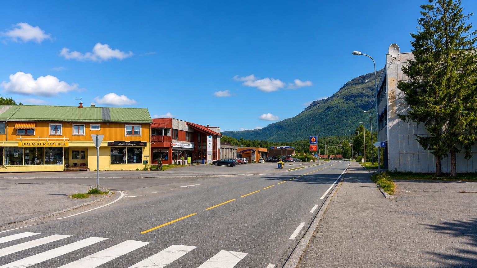
Most beds in Setermoen gather in the small town centre, where the hotels and guest rooms stand close to the main road, the services and the streets above the Barduelva river, within reach of Bardu kirke and the Troms Forsvarsmuseum. The centre suits travellers who want the inland town and the valley road on the doorstep. It makes the practical place to settle.
Toward the farm country of Bardu Bygdetun and the valley sides, holiday houses and farm stays spread among the fields, a quieter footing for visitors touring the inland part of the south-western part of Troms by car. Stock thins in the valley. The town also serves drivers breaking the long inland journey between Sjøvegan to the west and Bardufoss to the north, with rooms handy off the road.
Reserve well ahead in the bright summer months, when the long northern daylight and the river valley draw travellers to this inland corner of northern Norway.
About Setermoen
What is Setermoen known for?
Setermoen is the administrative centre of Bardu Municipality, set along the Barduelva river in the south-western part of Troms. The town carries a long military tie, and the Troms Forsvarsmuseum tells the defence story of the inland valley and the garrison that grew here. The army shaped the place.
Above the river Bardu kirke marks the old parish centre, while the open-air collection of Bardu Bygdetun keeps the farm and valley heritage of this inland corner of Troms.
What are the main landmarks in Setermoen?
The Troms Forsvarsmuseum stands at the heart of Setermoen. The defence museum tells the long military story of the garrison and the inland valley, the chief sight of the town. Above the Barduelva river Bardu kirke marks the old parish centre and gives the streets their fixed point.
Farm heritage sits close by. The open-air collection of Bardu Bygdetun keeps the old buildings and the valley way of life of Bardu Municipality in this inland corner of the south-western part of Troms.
What is the history of Setermoen?
Setermoen grew in the inland valley of the Barduelva river, in the south-western part of Troms. The settlement gathered on the river terraces where the valley farms took hold, and Bardu kirke rose above the water to serve the parish of the inland country, its old buildings now kept in the open-air collection of Bardu Bygdetun. The terraces came first.
As the valley filled, the army made its mark, and Setermoen became a garrison town whose long defence history the Troms Forsvarsmuseum now keeps for Bardu Municipality. The river and the road held the town through the years that followed. Setermoen settled into its role as the administrative centre of Bardu Municipality, the inland hub of the south-western part of Troms, drawing the valley farms and the garrison together at the heart of the country.
Roads carried the town outward along the inland route, west toward Sjøvegan and north toward Bardufoss, binding the river valley of the Barduelva to the wider reaches of northern Norway.
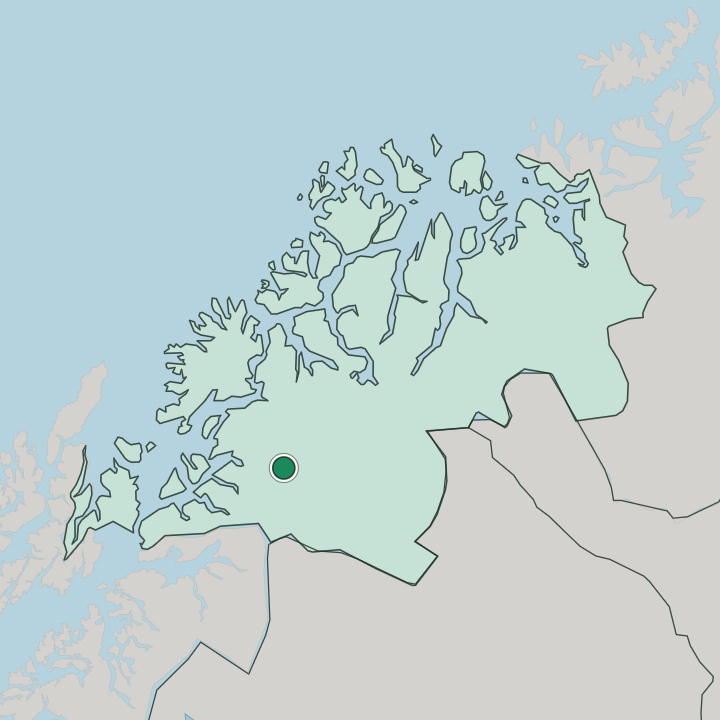
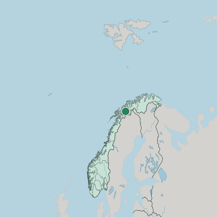
Where is Setermoen?
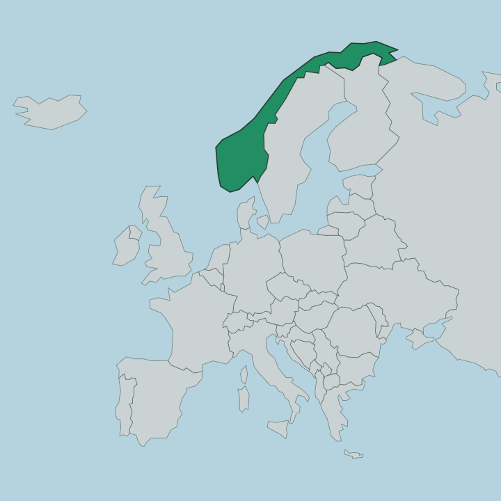
Setermoen lies inland along the Barduelva river, in the south-western part of Troms, in northern Norway. The town stands on the valley terraces where the river runs through the inland country, the centre gathered above the water around Bardu kirke and the streets of Bardu Municipality. Forest and fell frame the valley.
The river carries north and east through the inland reaches, with Sjøvegan lying to the west toward the fjord country and Bardufoss to the north down the valley road.
What is the climate of Setermoen?
Far from the coast, Setermoen feels the dry, cold weather of the interior of northern Norway. Winters run long and hard in the valley, the inland country away from the sea drawing harder frost and lasting snow than the shore towns of the south-western part of Troms. The summer is brief.
The valley of the Barduelva warms quickly under the long northern daylight, the river and the forest holding the brief heat before the cold returns down the inland reaches of Bardu Municipality.
How do you get to Setermoen?
Setermoen sits on the inland road through the Barduelva valley. The main valley route carries the traffic of Bardu Municipality, and the town lies on the long road through the south-western part of Troms. Almost all visitors come in along the valley road.
Drivers reach Setermoen from Sjøvegan to the west and from Bardufoss to the north, where the wider airport serves the longer journeys, a route of river valley and inland forest through this part of northern Norway.
Good for
More cities in Troms
Updated July 2026