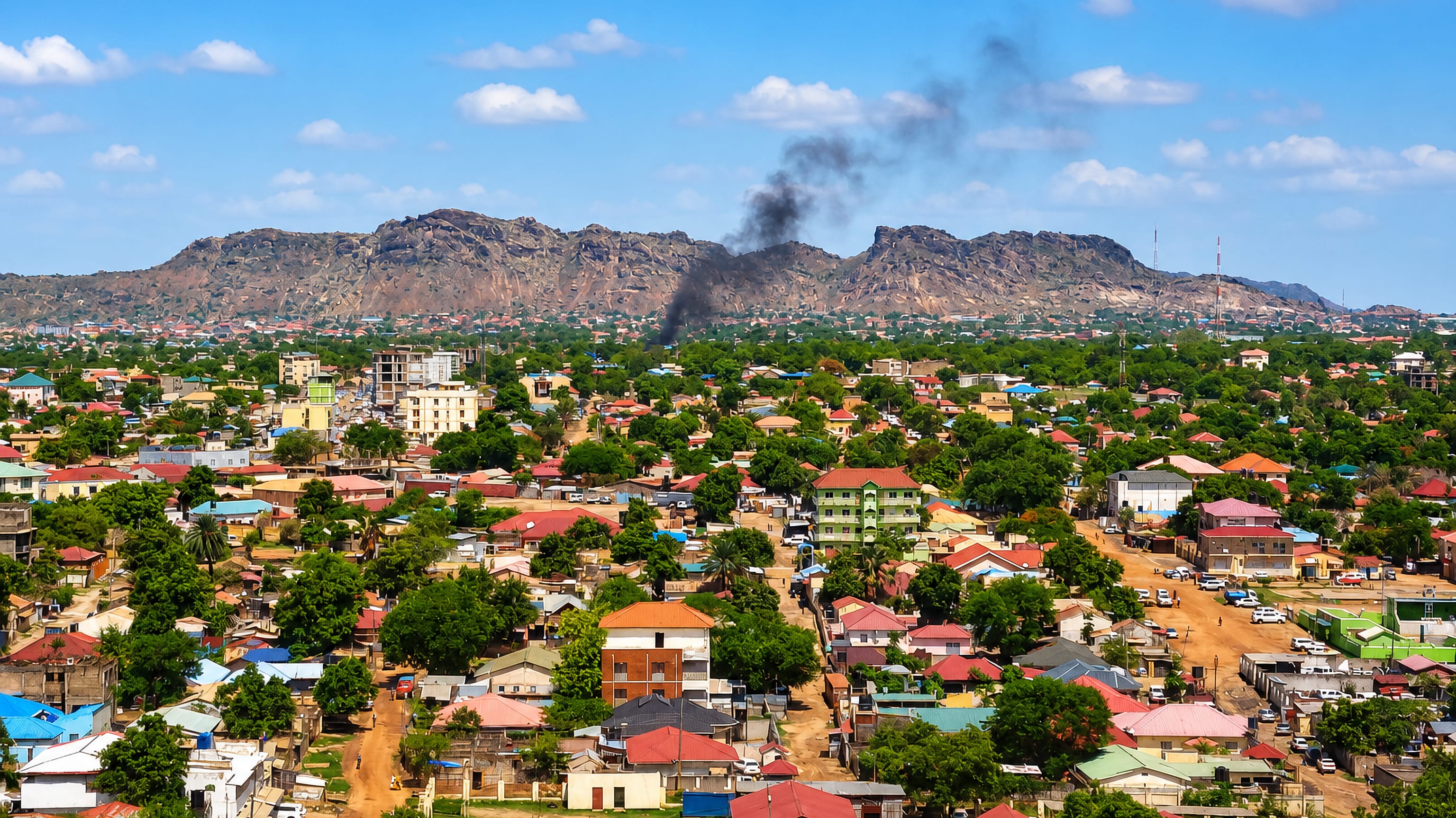
South Sudan: Regions, Cities & Travel Guide
South Sudan is a landlocked country in East Africa, where the White Nile threads the Sudd swamp and Juba anchors the far south.
Hotel links are affiliate links: booking through them may earn us a commission, at no extra cost to you. It never affects how places are ranked. How this works


Top destinations in South Sudan
Cities to start from, then drill into areas and hotels.
 South Sudan
Juba
The White Nile slides past Juba, capital and largest city of South Sudan, the English-speaking seat of Central Equatoria State on the river's west bank.Where to stay →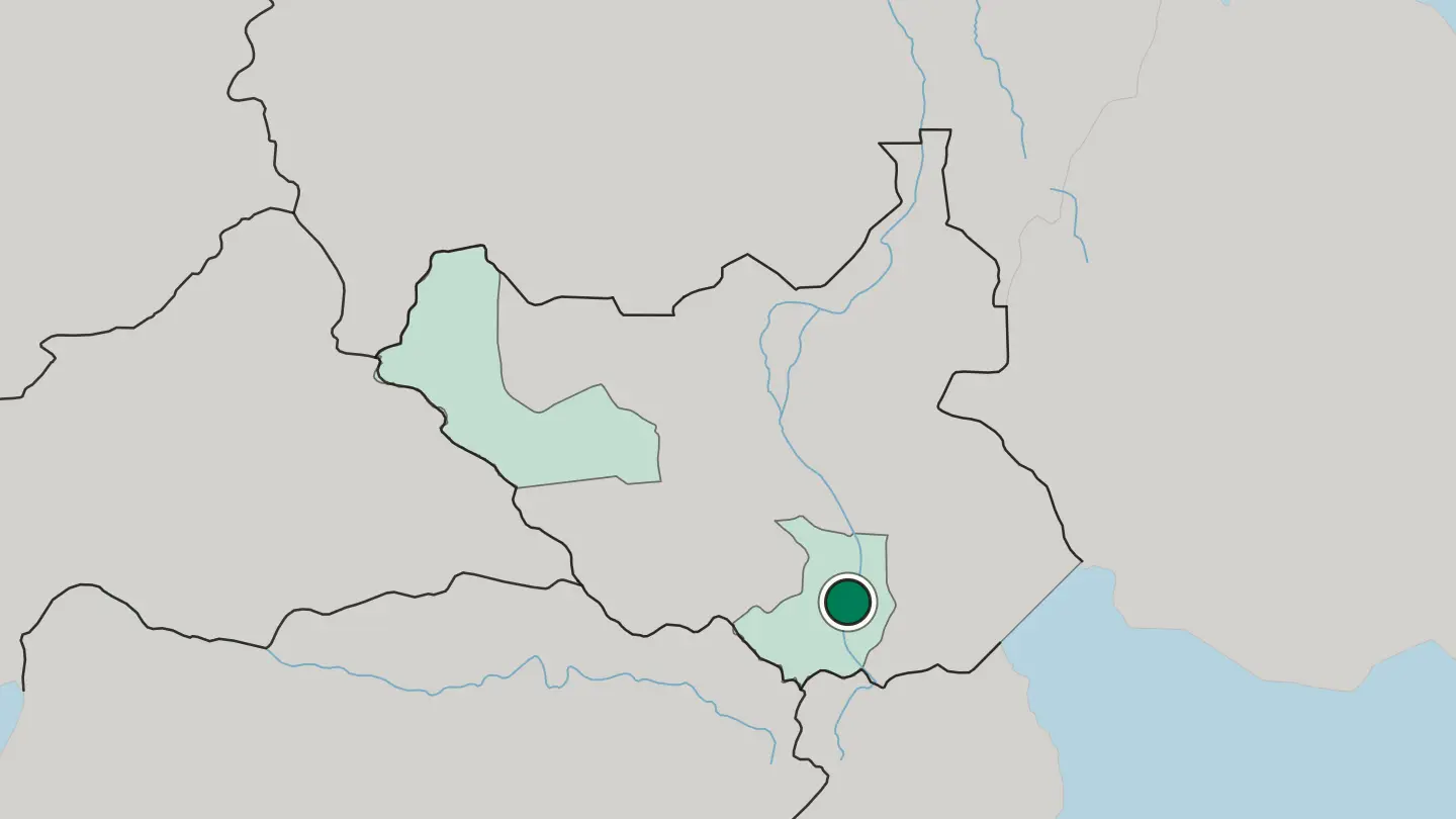 South Sudan
Wau
Wau, on the western bank of the Jur River, is the capital of Western Bahr el Ghazal and the third largest city in South Sudan.Where to stay →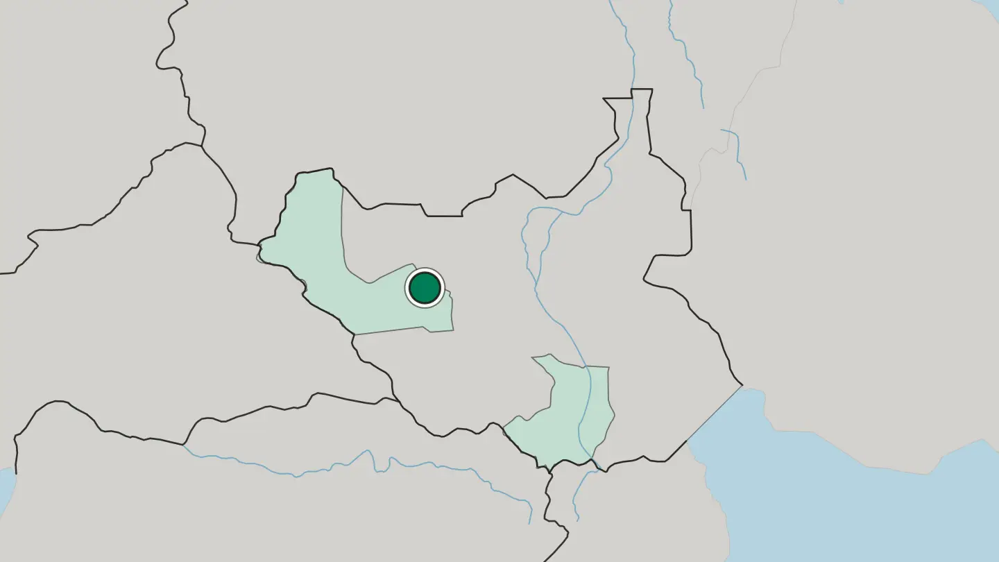
Hotel links are affiliate links: booking through them may earn us a commission, at no extra cost to you. It never affects how places are ranked. How this works
Regions of South Sudan
South Sudan
Central Equatoria State
The Bahr al-Jabal tributary of the White Nile threads Central Equatoria, the South Sudanese state that holds the national capital, Juba.Towns & cities →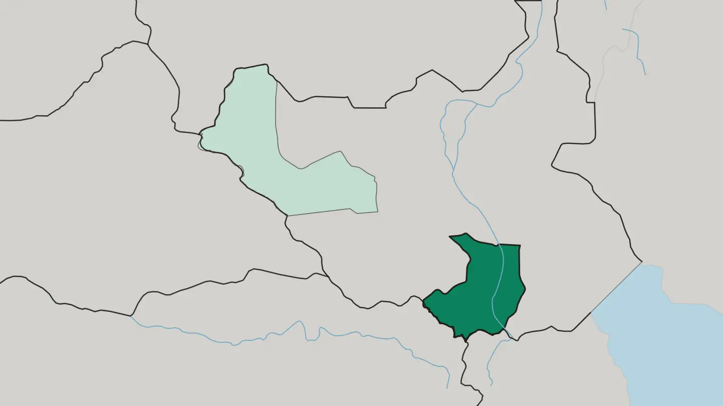 South Sudan
Western Bahr el Ghazal State
Western Bahr el Ghazal is a state of South Sudan with its capital at Wau, bordering Sudan and the Central African Republic.Towns & cities →
About South Sudan
What is South Sudan known for?
The world's youngest country carries the Nile at its core. The White Nile enters from Uganda, fans out across the Sudd, and drifts north toward Malakal, feeding the largest freshwater swamp on the continent. Wildlife defines the wider land.
Between Boma National Park and Bandingilo National Park, more than a million white-eared kob move each year in one of the greatest mammal migrations on earth, while the Imatong Mountains rise green in the south-east. Cattle shape everything else.
Where is South Sudan?
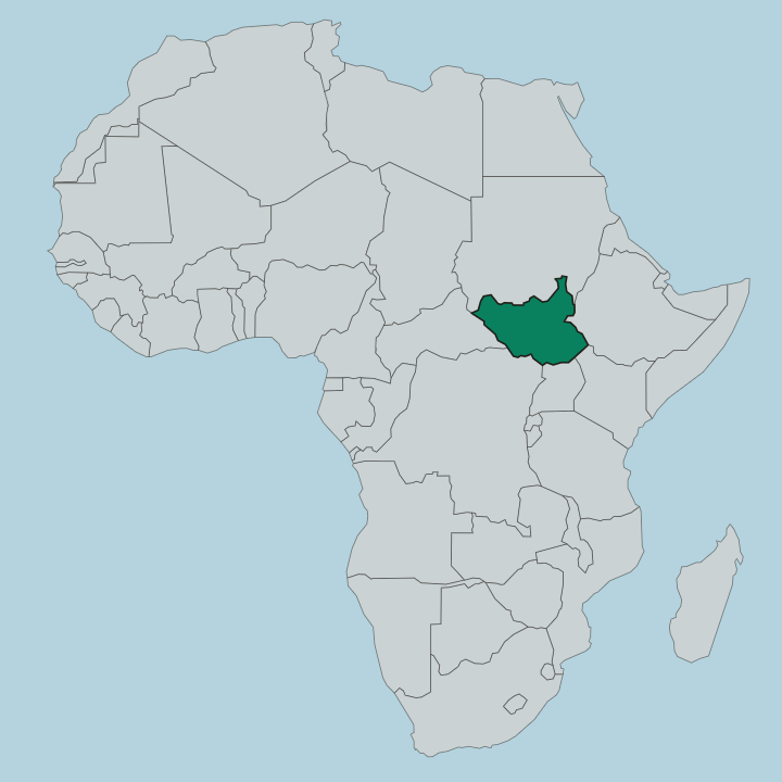
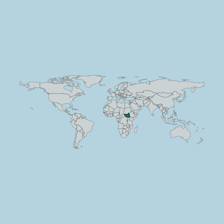
South Sudan is a landlocked country in East Africa, hemmed by Sudan to the north, Ethiopia and Kenya to the east, Uganda and the Democratic Republic of the Congo to the south, and the Central African Republic to the west. The Nile orders the whole map. The White Nile enters from the south and runs the length of the country toward Malakal, and across the low centre it loses itself in the Sudd, a floodplain swamp that spreads for tens of thousands of square kilometres and ranks among the largest wetlands on earth.
This is flat, watery ground. In the rains it swells into an inland sea of papyrus and channels; in the dry months it shrinks back to a maze of lagoons and grazing. Away from the swamp the land lifts and changes.
Broad savannah and floodplain cover the plains of Bahr el Ghazal in the west and Upper Nile in the north-east, where cattle camps follow the water. In the south-east the Imatong Mountains climb to Mount Kinyeti, the highest point in the country, their slopes carrying montane forest above the heat of the plains. The green highlands of Equatoria edge the southern border, wetter and more wooded than the interior.
From swamp to summit, water writes the story.
What is the history of South Sudan?
South Sudan is the youngest sovereign state in the world. Its long road to that status ran through decades of war with the government in Khartoum, a struggle that pitted the mostly Christian and traditionalist south against the Arab-Muslim north over religion, resources, and rule. The fighting came in two great waves.
The Sudan People's Liberation Army took up arms in 1983 under John Garang, and the war that followed dragged on for twenty-one years, emptying towns along the Nile and scattering people across the region before a peace deal finally held. That agreement promised a vote. In a referendum the south chose to break away almost unanimously, and on 9 July 2011 the Republic of South Sudan raised its flag over Juba as an independent country.
Freedom did not bring quiet. A power struggle at the top split the young state along the fault line between Dinka and Nuer, and civil war returned in 2013, driving fresh waves of displacement before later accords tried to stitch the country back together. The Nile plains still carry that memory.
Independence is recent. The scars are close to the surface.
What is South Sudan like?
Cattle sit at the centre of life across much of South Sudan. Among the Dinka, the country's largest people, and the Nuer alongside them, herds are wealth, marriage payment, and identity at once, and young men take the names and colours of their favourite oxen. In the dry season whole communities move with their animals to cattle camps on the floodplains, then fall back to higher ground when the rains return.
The Mundari near the Nile are famous for the same bond, tending long-horned herds in a haze of dung smoke that keeps the flies away. More than sixty ethnic groups share this land, each with its own tongue, songs, and body of custom. English is the official language, a legacy of the long war and the split from the north, while Juba Arabic works as the everyday street language of the capital and its markets.
Food leans on sorghum and the river. Kisra, a thin fermented flatbread, comes with stews of meat, greens, and beans, and dishes like ful travel in from the wider region. Music and dance mark cattle, marriage, and rain.
The herd remains the thread through all of it.
What is the climate of South Sudan?
South Sudan runs hot and tropical the whole year. A dry season holds from roughly November to March, when the plains bake and the Sudd shrinks back, followed by rains from around May to October that swell the swamp and green the savannah. The wetter south, the greenbelt of Equatoria and the Imatong Mountains, draws far more rain than the drier northern plains toward Malakal.
Roads turn to mud when the rains come. Water rules the calendar.
How do you get to South Sudan?
Nearly everyone arrives by air into Juba. The capital's international airport on the White Nile is the country's main gateway, linked by regional flights to hubs in East Africa and beyond. Overland routes exist too, chiefly the Nimule crossing from Uganda in the south, though distances are long and travel takes planning.
From Juba, smaller airstrips and light aircraft reach towns like Wau and Malakal across the plains. Roads thin out fast. Fly between regions where you can.
Good for
Updated September 2026