
Turkmenistan: Regions, Cities & Travel Guide
Türkmenistan is a Central Asian country where the Karakum sands meet the Köpet Dag, and Ashgabat rises in white marble.
Hotel links are affiliate links: booking through them may earn us a commission, at no extra cost to you. It never affects how places are ranked. How this works


Top destinations in Turkmenistan
Cities to start from, then drill into areas and hotels.
 Turkmenistan
Ashgabat
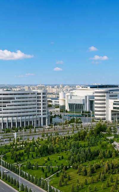
White marble catches the desert sun in Ashgabat, capital of Turkmenistan below the Köpetdag range, known for the Turkmen Carpet Museum.Where to stay →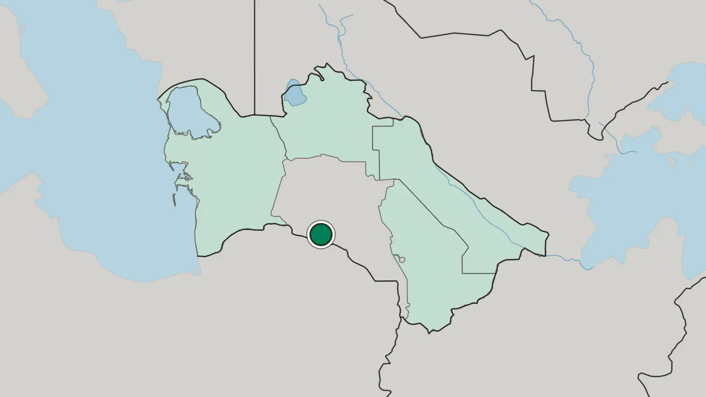
 Turkmenistan
Mary
Mary is an oasis city of the Karakum Desert in Turkmenistan, founded in 1884 on the Murgab River near the ruins of ancient Merv.Where to stay →
 Turkmenistan
Türkmenbaşy
Türkmenbaşy is Turkmenistan's access to the sea, a port on the Türkmenbaşy Gulf of the Caspian Sea in Balkan Province.Where to stay →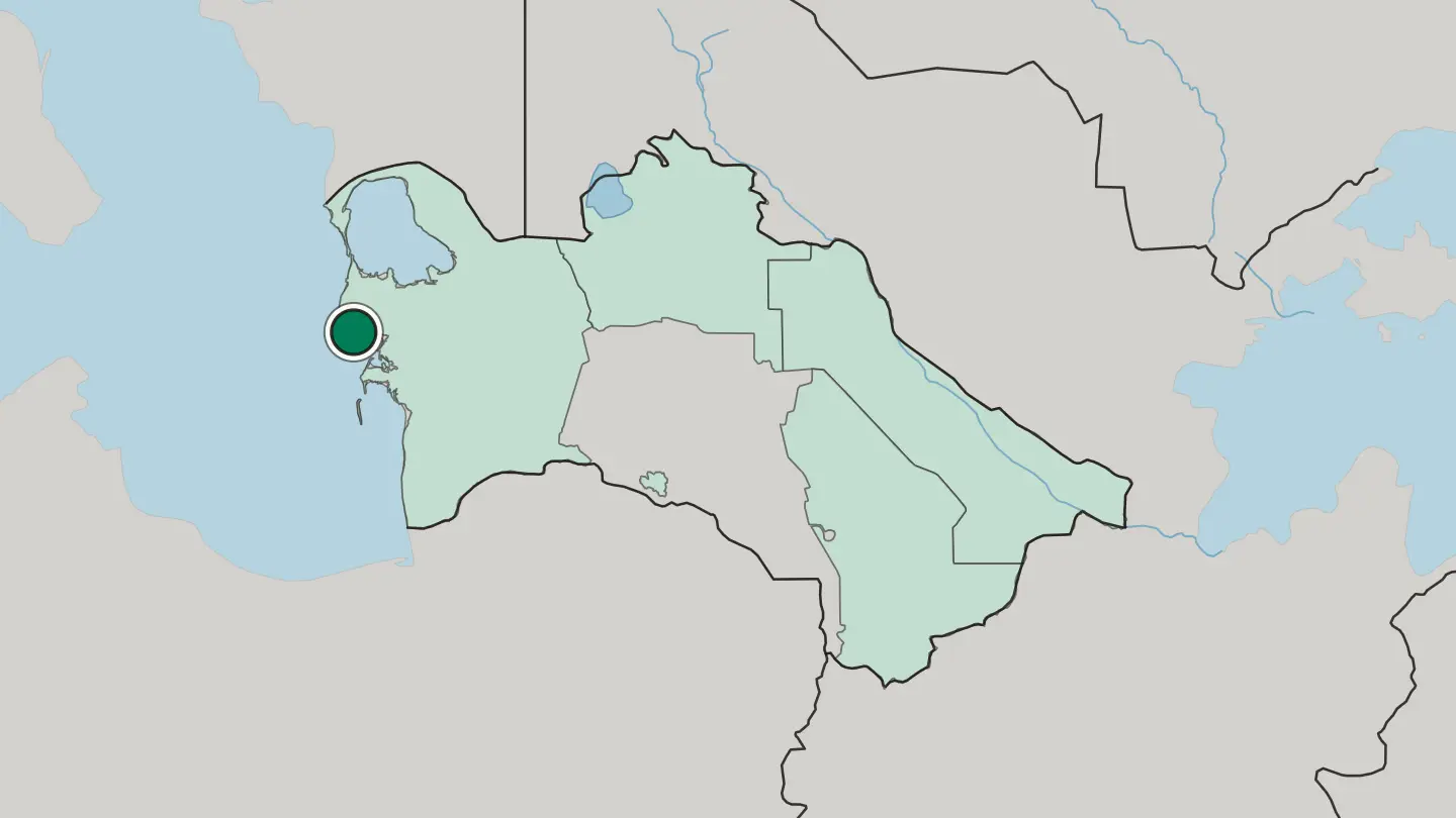 Turkmenistan
Türkmenabat
Türkmenabat is a city of eastern Turkmenistan on the Amu Darya, an old Silk Road town on the edge of the Karakum, once the great trading city of Amul.Where to stay →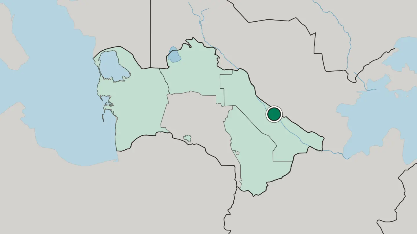
 Turkmenistan
Daşoguz
Daşoguz is the capital of Daşoguz Province in northern Turkmenistan, a city dating from 1681 that stands about 10 kilometres from the Uzbek border.Where to stay →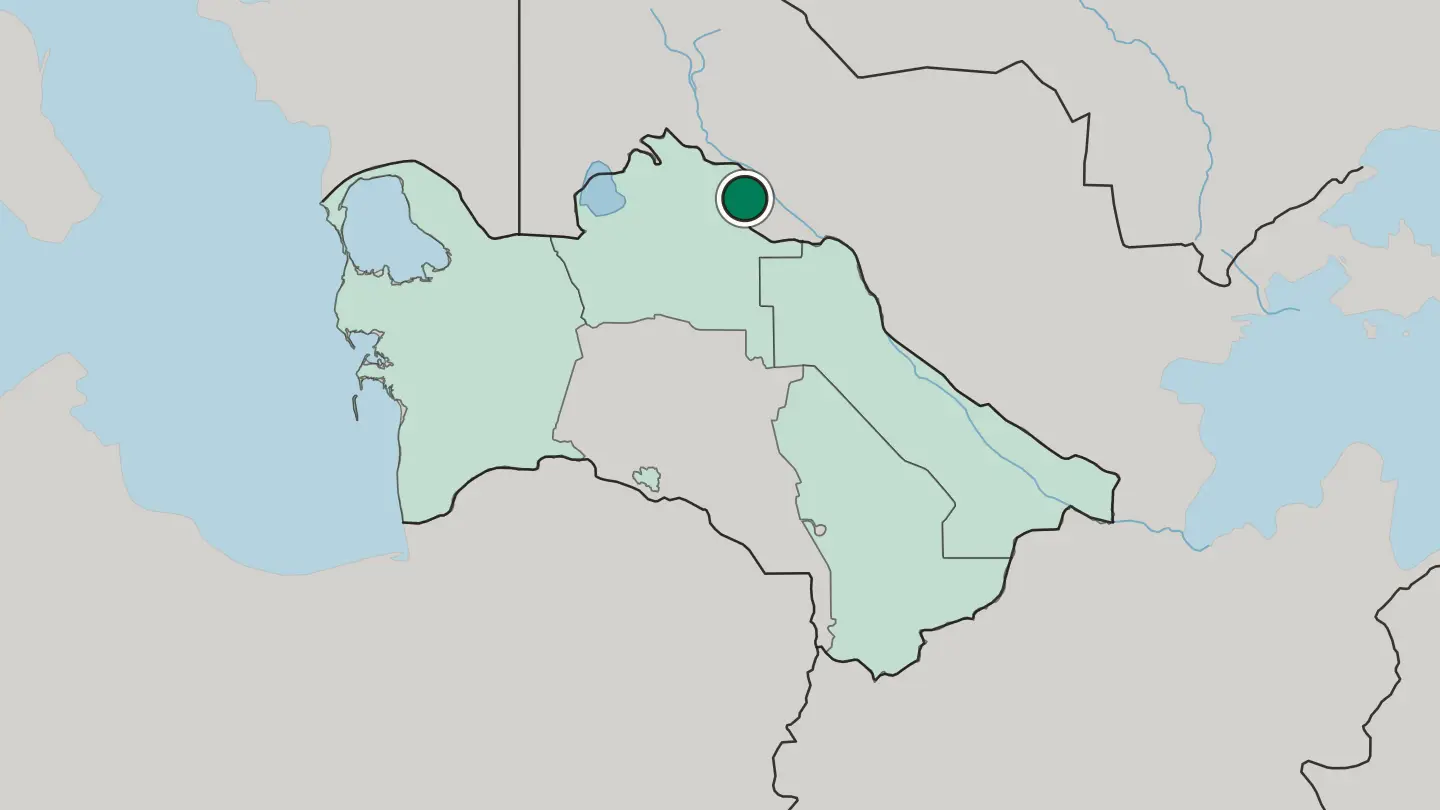 Turkmenistan
Balkanabat
Balkanabat stands at the foot of the Balkan Daglary, a grid of kvartal blocks serving as the administrative centre of Balkan Province in Turkmenistan.Where to stay →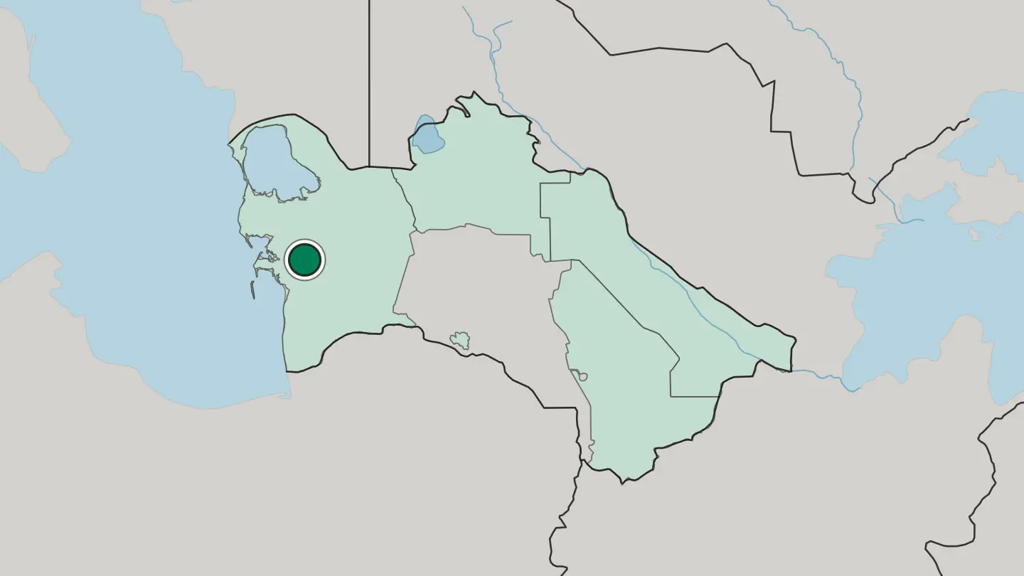
Hotel links are affiliate links: booking through them may earn us a commission, at no extra cost to you. It never affects how places are ranked. How this works
Regions of Turkmenistan
Turkmenistan
Ashgabat
Ashgabat is the capital region of Turkmenistan, a foothill province wedged between the Karakum Desert and the Köpetdag range in Central Asia.Towns & cities →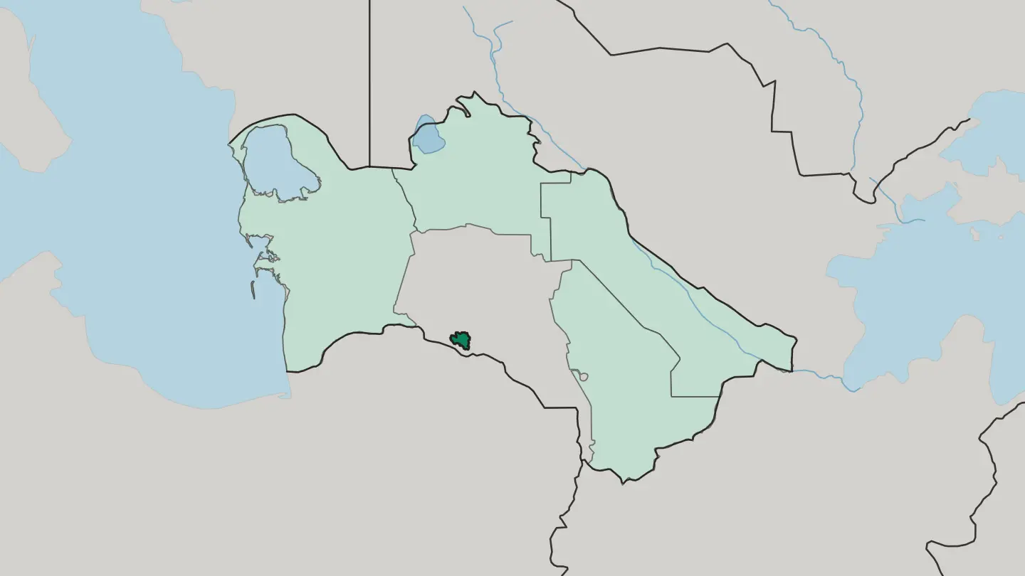 Turkmenistan
Balkan
Balkan welaýaty is the westernmost of the five regions of Turkmenistan, reaching from the Caspian Sea across the western Karakum to Balkanabat.Towns & cities →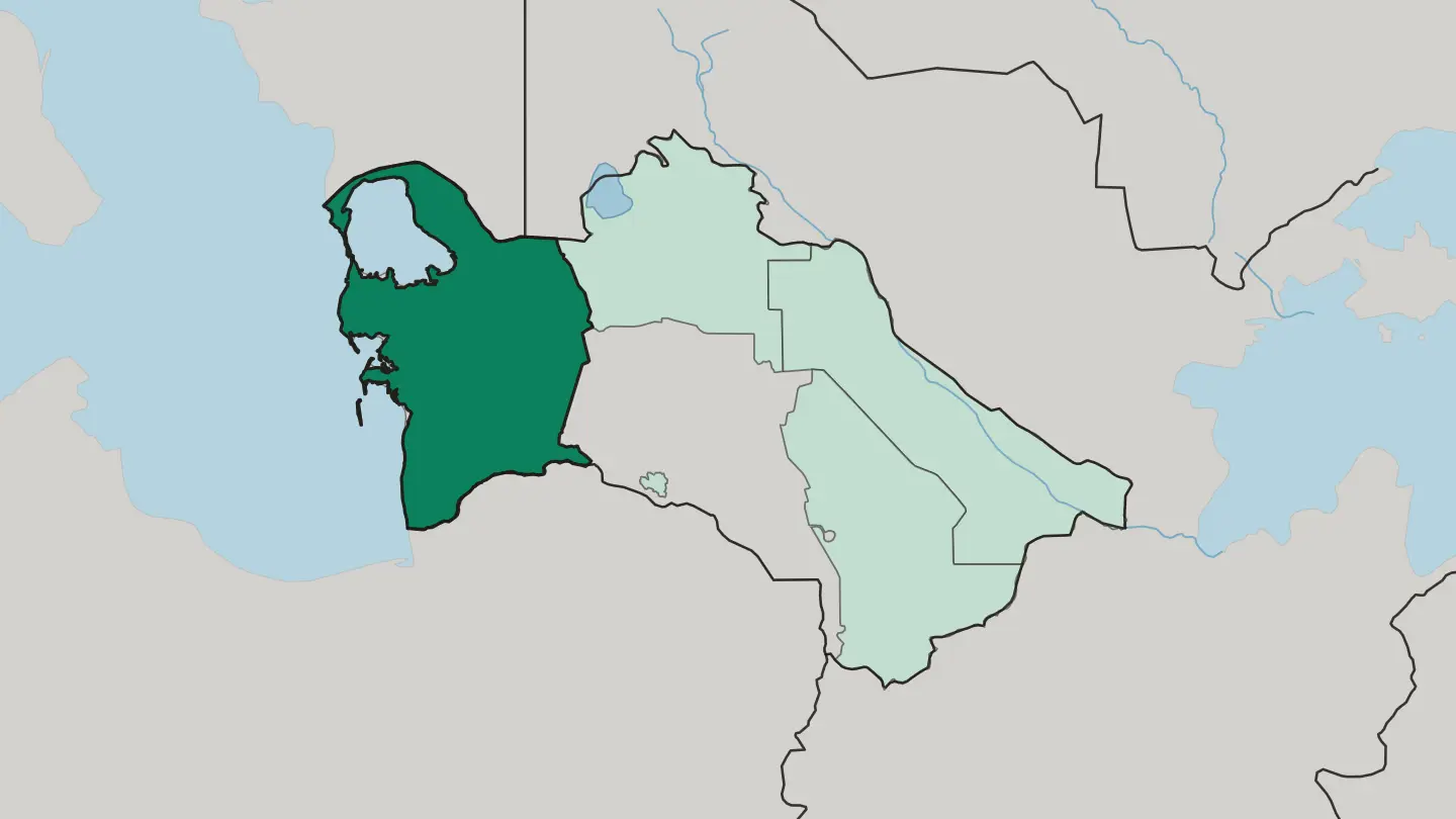 Turkmenistan
Daşoguz Welaýaty
Daşoguz welaýaty covers the north of Turkmenistan, bounded on that side by Uzbekistan and run from Daşoguz, the capital that gives the region its name.Towns & cities →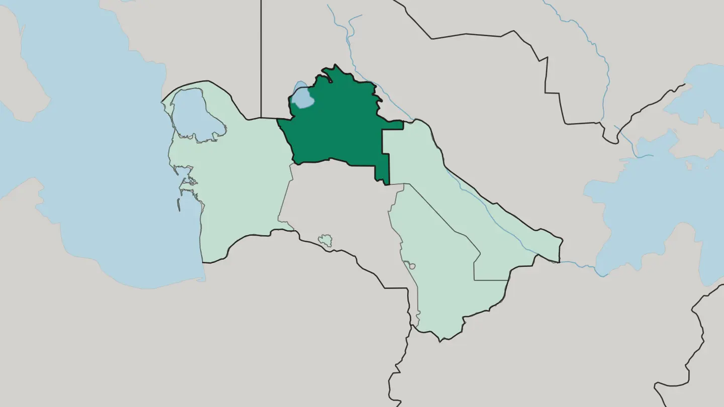 Turkmenistan
Lebap
Lebap follows the Amu Darya down eastern Turkmenistan, sharing that river frontier with Uzbekistan and Afghanistan, and is run from Türkmenabat.Towns & cities →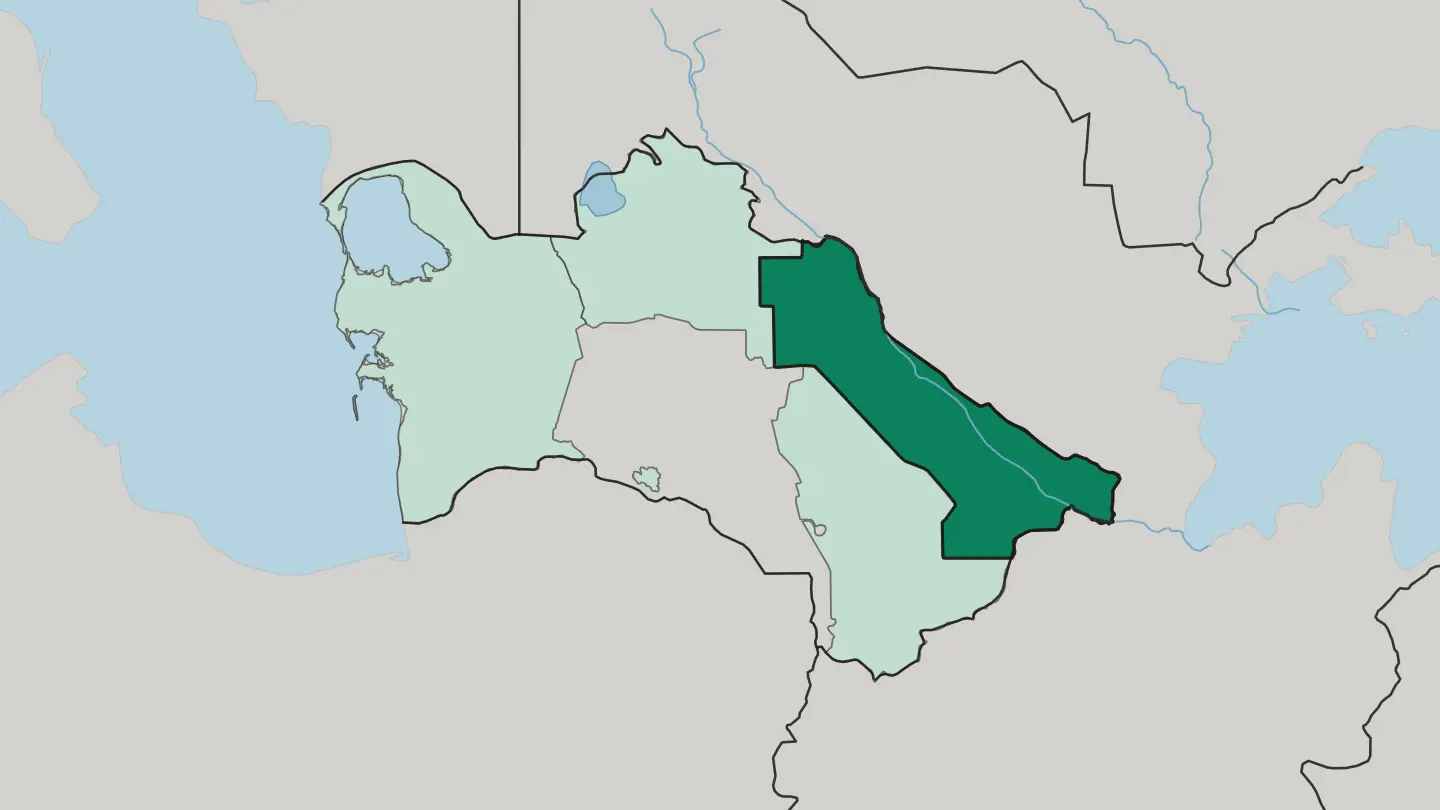 Turkmenistan
Mary
Mary welaýaty spreads across the south-east of Turkmenistan to the border with Afghanistan, its oases and its capital city sharing the name Mary.Towns & cities →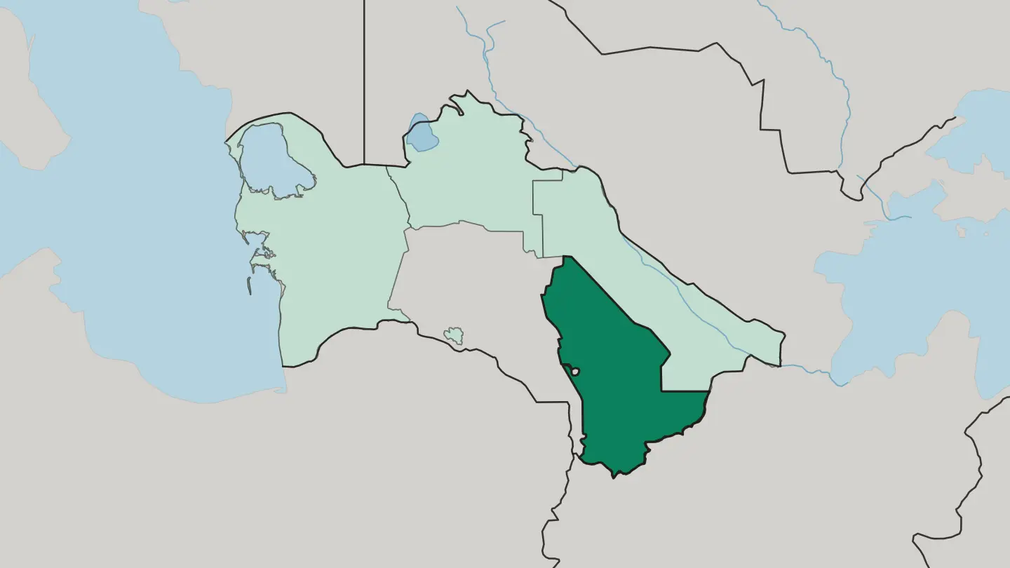
About Turkmenistan
What is Turkmenistan known for?
Turkmenistan is known for its Silk Road ruins and its wall of desert. The Karakum sands cover most of the country. Ancient cities anchor its fame.
Merv near Mary, the Parthian fortress of Nisa outside Ashgabat, and Konye-Urgench in the far north hold three separate UNESCO listings between them, while the burning Darvaza gas crater draws travellers deep into the dunes. The golden Akhal-Teke horse completes the picture.
Where is Turkmenistan?
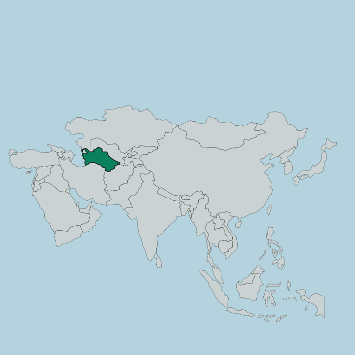
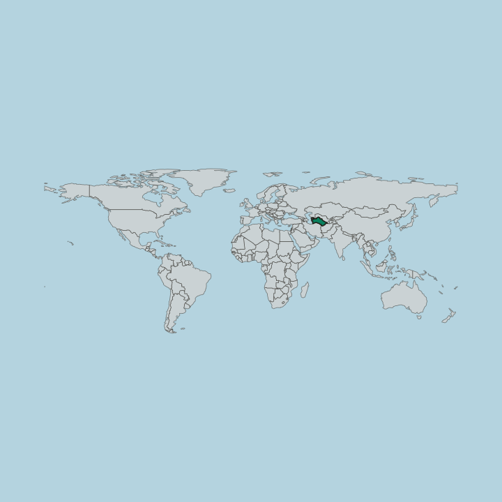
Turkmenistan is a landlocked republic in the south of Central Asia, edging the Caspian Sea in the west and sharing its long southern frontier with Iran and Afghanistan. Sand defines it. The Karakum, one of the great deserts of the world, spreads across roughly four fifths of the territory in a vast reach of dune, salt flat, and stony plain.
Life clings to the margins. Along the southern rim the Köpet Dag rises in a bare limestone wall on the Iranian border, and it is in the narrow foothill strip beneath it that Ashgabat and a string of oasis towns take hold. Water arrives from a few rivers only.
The Amu Darya sweeps along the eastern and northern edge before turning toward the vanished Aral Sea, the Murghab and the Tejen fan out into the sands from the south, and the Soviet-built Karakum Canal drags Amu Darya water hundreds of kilometres west across the desert to feed Mary, Ashgabat, and the fields between them. To the north the land drops toward the Daşoguz lowlands and the old delta of Konye-Urgench. From coast to canal, Turkmenistan is a country of thresholds between the sown and the sand.
What is the history of Turkmenistan?
Few corners of Central Asia have been fought over as long as this one. The Parthians built their first capital at Nisa in the foothills west of Ashgabat, ruling from there for five centuries and pressing their power westward until it collided with Rome. Trade followed conquest.
As the Silk Road threaded the oases, Merv on the Murghab swelled into one of the largest cities on earth, a centre of learning under the Seljuk Empire whose libraries and observatories rivalled any in the medieval world. Then came catastrophe. The Mongols sacked Merv in the thirteenth century and levelled Konye-Urgench soon after, and the caravan cities never fully recovered their old weight.
Turkmen tribes held the sands for centuries against Persian and Khivan raids until the Russian Empire pushed south in the late nineteenth century and absorbed the region. Seventy years of Soviet rule followed. Turkmenistan declared independence in 1991 and, in 1995, secured United Nations recognition of a formal policy of permanent neutrality that still shapes how the state sees itself.
The ruins outlasted every empire that raised them.
What is Turkmenistan like?
Turkmen identity is woven, ridden, and recited. The Akhal-Teke horse, lean and metallic-coated, stands at the centre of it, honoured on the national emblem and celebrated each spring with its own festival of races. Carpets carry the same weight.
Women knot the deep-red güls of each tribe into wool by hand, a craft passed down from mother to daughter that UNESCO added to its lists of the world's living heritage. The desert shaped the rest. A nomadic past survives in the felt yurt, in mounted games, and in the epic verse of the eighteenth-century poet Magtymguly, whose lines remain close to memorized across the country.
Faith and season fold together at Nowruz, the spring equinox festival kept over three days with bonfires, wrestling, and sweet germinated-wheat dishes. Turkmen, an Oghuz Turkic tongue written now in a Latin alphabet, binds the whole. Threads of it run through everything from horse to hearth.
What is the climate of Turkmenistan?
Turkmenistan runs to sharp extremes. The Karakum bakes through a long summer that pushes well past forty degrees in the shade, then swings hard the other way when Siberian air spills south in winter and drops nights below freezing across the same sands. Rain is scarce almost everywhere.
What little falls comes in spring, greening the Köpet Dag foothills for a few short weeks before the heat returns. Spring and autumn are the kind seasons to travel.
How do you get to Turkmenistan?
Nearly every visitor arrives through Ashgabat. The white-marble Ashgabat International Airport is the country's main gateway, handling the flights that connect Turkmenistan to hubs across the region and the Gulf. Entry takes planning.
Most travellers need a letter of invitation arranged through a licensed Turkmen agency before a visa is granted, so independent wandering is rare. From Ashgabat, domestic flights and long desert roads reach Mary, Türkmenbaşy on the Caspian, and the northern oases. Overland crossings link the country to its neighbours.
Updated September 2026