Germany · Bremen · Bremerhaven
Leherheide, Bremerhaven — Area Guide & Where to Stay
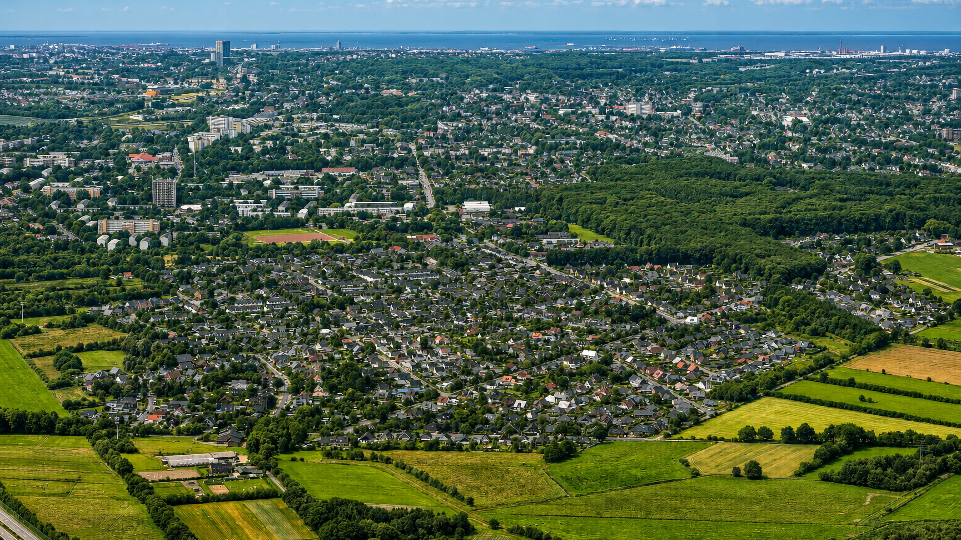
Leherheide is the northernmost Stadtteil of Bremerhaven, on the outliers of the Hohe Lieth, its name the Old High German Lieth for a hill, plus the heath.
Hotel links are affiliate links: booking through them may earn us a commission, at no extra cost to you. It never affects how places are ranked. How this works


Where to stay in Leherheide
How the choice of base plays out on the ground.
The second highest point of Bremerhaven is here. Its Leherheider Tunnelberg reaches 25.5 metres and was made out of spoil dug for the harbour tunnel, which is the kind of hill a flat coast produces. The Stadtteil is the city's northern end.
Geestland begins beyond it to the north and Lehe adjoins it to the south, and the Hohe Lieth it sits on is the ice-age ridge running between Cuxhaven and Lehe. Rooms are down toward the harbour.
About Leherheide
What are the main landmarks in Leherheide?
A mill once stood in the moor. Medieval writings record one in the Ferne Moor supplying the Sieverdesburg, which archbishop Burchard Grelle of Bremen built near Sievern about 1343 and 1344, and the knights of Bederkesa administered both castle and mill until the two were destroyed in 1500. The moor named a district.
Fehr, Feer, Veer, Fer and Fernemoor are the spellings the record keeps for that far moor northeast of Leherheide, and the Fehrmoor Ortsteil is named from it. A king rode through another one. Königsheide is said to have taken its name from the king of Hanover camping there, Hanover having been a kingdom between the years around 1814 and 1866.
What is the history of Leherheide?
This was never an old grown village. Stone Age and Bronze Age finds point to small earlier settlements, but what developed here first was farming land belonging to the commune of Lehe rather than a village with a core. The moor held the medieval structures.
A mill in the Ferne Moor supplied the Sieverdesburg that archbishop Burchard Grelle raised near Sievern about 1343 and 1344, the lords of Bederkesa ran both, and both were destroyed in 1500. Grazing rights are on record. So are property boundaries and the division of the commons as shared property, which is the documentation a farming district leaves rather than a chronicle.
The names came off the ground. Lehe is the Old High German Lieth for a hill, the heath in Leher Haide records the sandy soil, and Fehrmoor and Königsheide take their names from a far moor and a royal camp.
Where is Leherheide?
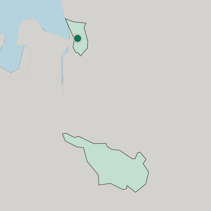
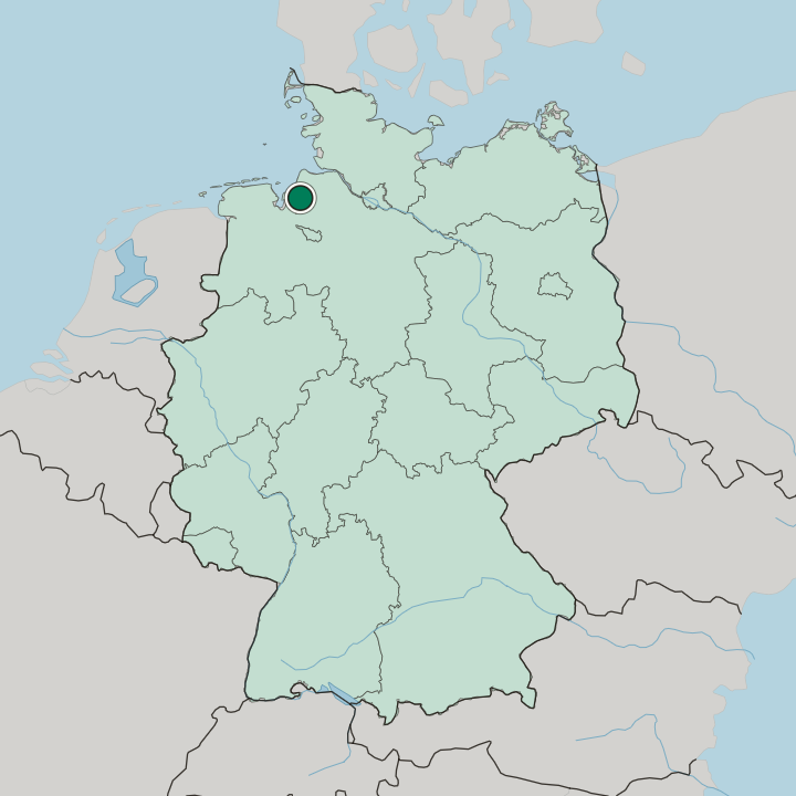
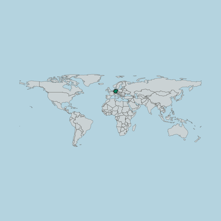
Leherheide lies at the northern end of Bremerhaven on the outliers of the Hohe Lieth, the ice-age ridge between Cuxhaven and Lehe, bordering Geestland to the north and Lehe to the south.
More areas in Bremerhaven
Updated September 2026