Germany · Thuringia · Erfurt
Bischleben, Erfurt — Area Guide & Where to Stay
Bischleben forms the Bischleben-Stedten Ortsteil of Erfurt together with Stedten an der Gera, and it was first recorded in 1184.
Hotel links are affiliate links: booking through them may earn us a commission, at no extra cost to you. It never affects how places are ranked. How this works


Where to stay in Bischleben
The practical side of choosing where to sleep.
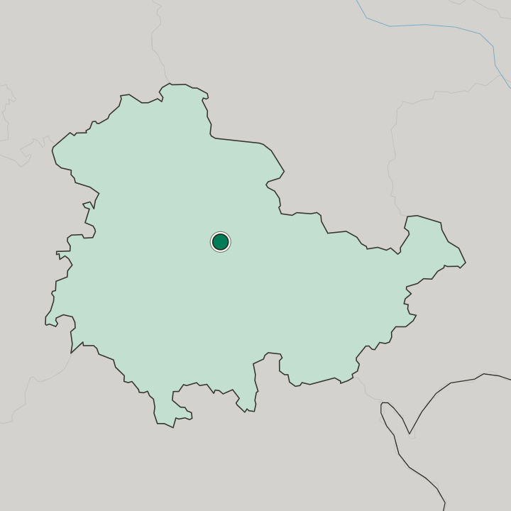
Six kilometres of valley separate it from the city. Bischleben lies southwest of the Erfurt centre on the Gera at about 210 metres, where the river cuts a gap between the slopes of the Steigerwald to the east and a plateau rising toward the Fahner Höhen in the northwest. Heights close it in.
Schmiraer Höhe on the plateau reaches 312 metres and the Steigerwald above Bischleben about 330. Two cores sit a kilometre apart.
Things to do in and around Erfurt
Ranked by global recognition; descriptions from Wikidata (CC0).
Churches & Religious Sites
4- St. Benignus (Bischleben) Heritage
- Protestant Church (Möbisburg) Heritage
- St. Elisabeth (Stedten an der Gera) Heritage
- Protestant Church Erfurt-Rhoda Heritage
Castles & Historic Sites
1- Wallanlage Kirchberg in Möbisburg
Landmarks & Notable Places
1- Bischlebener Mühle
worth knowingacross 3 categories in and around Erfurt
About Bischleben
What are the main landmarks in Bischleben?
The church tower keeps Romanesque work. Bischleben's village church is dedicated to Saint Benignus and probably went up around the time of the first record, and parts of its tower are Romanesque. The old cores are separate.
Bischleben's gathers around that church on the east side of the station while Stedten's lies a good kilometre further south at the western edge of the valley. Allotments cover the slopes. Numerous garden plots and nurseries stand on the sides of the Gera valley, with the woods of the Steigerwald further east and farmland on the valley floor and the western plateau.
What is the history of Bischleben?
Bischleben appears in writing in 1184. The village church dedicated to Saint Benignus probably dates from about the same time, and parts of its tower are still Romanesque. Lords took their name from it.
From 1298 the place was the seat of the Herren von Bischofsleben, and it passed to the counts of Gleichen in 1333, to Gleichen-Tonna in 1385, in pledge to Erfurt from 1403 to 1423, back to Gleichen in 1426 and to the dukes of Saxony in 1444. Saxony left the counts in place. Under Saxon overlordship the counts of Gleichen kept the village and went on granting it out, and after the Leipzig partition it fell to the Ernestines and was attached to the Amt Wachsenburg.
It stayed Gothaish until 1920. The village belonged to the Ernestine duchy and later the free state of Saxe-Gotha until then, and afterwards to the Landkreis Gotha in Thuringia, while Erfurt five kilometres away belonged to the Prussian province of Saxony. Plague struck in 1626.
It killed close to a hundred people in Bischleben. The railway made the difference. A connection on the Thüringer Bahn opened in 1847, new streets followed, industrial works settled, and the village became a favourite excursion place for Erfurt with inns like the Bergschlösschen, the Schloss Lindenhöhe and the Gasthaus zum Löwen.
Where is Bischleben?
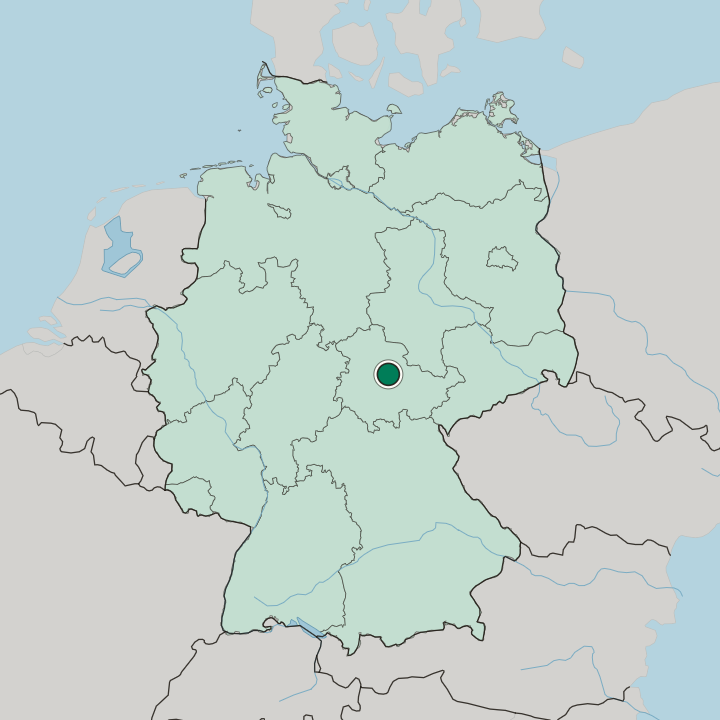
Bischleben lies about six kilometres southwest of the Erfurt centre on the Gera at around 210 metres, between the Steigerwald to the east and the plateau toward the Fahner Höhen, with Hochheim north and Möbisburg-Rhoda south.
Good for
More areas in Erfurt
Updated October 2026