Where to stay in Tammela
The right area depends on your trip. Here's who each one suits — pick the place, then the hotel.
Tammela keeps a small stock of beds. The municipality is rural and broad, so the few rooms it holds gather in the village around Tammelan kirkko, where guesthouses and roadside lodgings serve the travellers and the walkers heading out toward Torronsuon kansallispuisto in this quiet corner of Kanta-Häme in southern Finland. Beds here are scarce.
Out across the parish, holiday cabins and farm stays open through the warm months for those drawn to the bog, the forests, and the old country of villages like Teuro and Torro. The wider municipality holds the rest. Cottages and summer rooms scatter among the lakes and forests near the Mustiala farming estate and along the line of the Hämeen Härkätie, a fit for walkers, birdwatchers, and anyone seeking the quiet of southern Finland, while larger hotels lie in the towns of Kanta-Häme for visitors who want the range of a town within reach of Tammela.
Things to do in Tammela
Ranked by global recognition; descriptions from Wikidata (CC0).
Museums & Galleries
2- Korteniemen perinnetila Heritage forester's lodge
- Tammelan sotaveteraanimuseo
Churches & Religious Sites
1- Tammelan kirkko Heritage
Nature & Outdoors
1- Mustialan maatalousoppilaitoksen puisto Heritage
Landmarks & Notable Places
3- Korteniemen metsänvartijatilan asuinrakennus Heritage house
- Korteniemen metsänvartijatilan kalustovaja Heritage
- Mustialan maatalousoppilaitoksen puutarhurin asuinrakennus Heritage
worth knowingacross 4 categories in Tammela
About Tammela
Tammela is known for its bog and its old road.
What is Tammela known for?
Tammela is known for its bog and its old road. Torronsuon kansallispuisto protects one of the deepest raised bogs in southern Finland, a wide peatland of pools and pine that draws birdwatchers and walkers to this corner of Kanta-Häme. The road runs through history here.
The ancient Hämeen Härkätie, the ox road from Turku to Hämeenlinna, crossed the parish long ago, and the medieval Tammelan kirkko still stands as the church of the district.
What are the main landmarks in Tammela?
Torronsuon kansallispuisto is the landmark that defines Tammela. The national park guards a vast raised bog of pools, pine and birdlife, the natural heart of this rural municipality of Kanta-Häme. History marks the land too.
The medieval Tammelan kirkko anchors the village, the ancient Hämeen Härkätie ox road from Turku to Hämeenlinna crosses the parish, the Mustiala farming estate trained the farmers of southern Finland, and the glacial boulder of Saarnakivi recalls the open-air sermons of an older age.
What is the history of Tammela?
Tammela grew along an ancient road. The Hämeen Härkätie, the ox road running from Turku to Hämeenlinna, crossed the parish in the Middle Ages and carried trade and travellers through the forests of inland Finland. A church came with the parish.
The medieval Tammelan kirkko rose as the place of worship for the scattered farms of this corner of Kanta-Häme, and the boulder of Saarnakivi served as a preaching stone in the open country of an older age. Farming shaped the later land. The Mustiala estate became a school for agriculture and trained the farmers of southern Finland, its old buildings and parkland still marking the district, while the villages of Teuro and Torro held their fields and houses along the lanes of the parish.
Through it all the bog stayed wild. The deep peatland that became Torronsuon kansallispuisto resisted the plough and the drainage, and so a parish of farms and forest set beside a vast living bog endured into the present municipality of Kanta-Häme.
Where is Tammela?
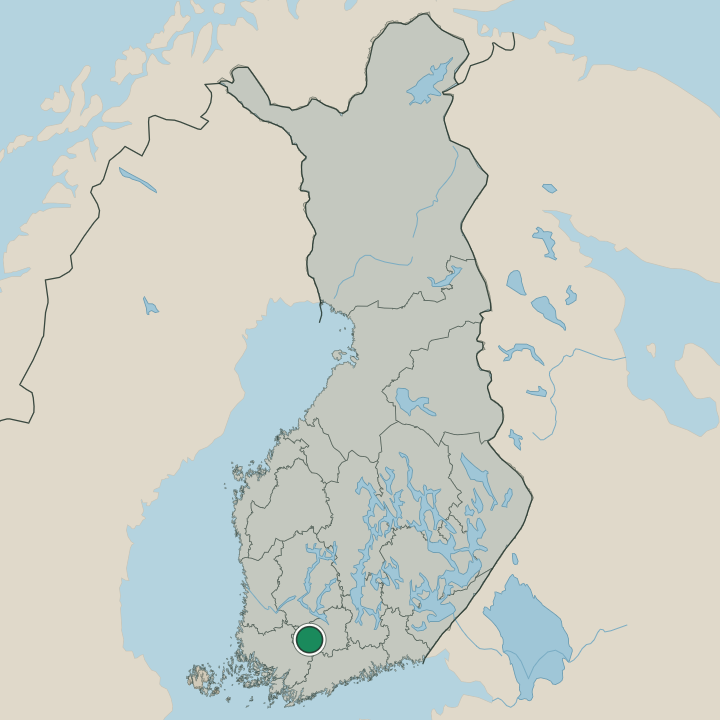
Tammela lies in Kanta-Häme, in southern Finland, a broad parish of lakes, forest and bog. Across its wide ground spreads Torronsuon kansallispuisto, a deep raised bog of pools and pine, with the village and Tammelan kirkko set among the surrounding farmland. Water and peat shape this land.
Lakes and mires lie scattered through the forests, the old Hämeen Härkätie threads across the parish, and the villages of Teuro and Torro hold their fields in this inland corner of southern Finland.
What is the climate of Tammela?
Tammela has a cold inland winter. Frost grips the lakes and the deep peat of Torronsuon kansallispuisto for months, and snow lies across the forests of Kanta-Häme through the dark season of southern Finland. Summers are short and green.
The warm months bring walkers and birdwatchers to the bog boardwalks and the lanes around Tammelan kirkko before the cold returns to the land. Spring and autumn pass quickly between.
How do you get to Tammela?
Tammela is reached by road through Kanta-Häme. Country roads run in from the towns of the region to the village and Tammelan kirkko, the usual way into the municipality for most travellers heading toward Torronsuon kansallispuisto. The old road still lingers here.
The line of the ancient Hämeen Härkätie, the ox road from Turku to Hämeenlinna, traces the historic route across the parish, while the nearby towns of southern Finland connect this rural corner to the wider country.
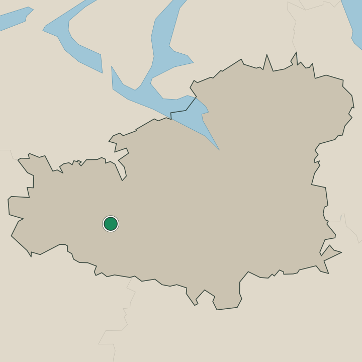
Where Tammela sits
Boundaries © geoBoundaries (CC BY) & Wikidata (CC0); water & neighbours: Natural Earth.