Where to stay in Pöytyä
The right area depends on your trip. Here's who each one suits — pick the place, then the hotel.
Pöytyä keeps a small stock of beds for an inland municipality of Varsinais-Suomi, the kind of farming parish where a guesthouse, a farm stay or a rented cottage is the usual room rather than a hotel. The church village around the Pöytyän kirkko suits visitors who want the shops, the services and the parish church within an easy reach, while the old parish centres at the Yläneen kirkko and the Karinaisten kirkko make quieter bases out in the villages. It is a spread-out kunta.
Out among the fields and woods, cottages and farm rooms stand near the manor of the Pihlavan kartano and the old line of the Varkaantie, a good base for touring the inland country of south-western Finland by car. Beds are thin once you leave the centres. Visitors drawn to the heritage of the parish often base near the old station at the Kyrön rautatieasema or the boundary marker of the Kuhankuono, while many travellers instead sleep in the larger towns of Varsinais-Suomi and drive in for the day.
Book any local room ahead in summer, for the stock around Pöytyä is small and fills early.
Things to do in Pöytyä
Ranked by global recognition; descriptions from Wikidata (CC0).
Churches & Religious Sites
4- Yläneen kirkko Heritage
- Pöytyän kirkko Heritage
- Karinaisten kirkko Heritage
- Pöytyän sakaristo church building in Finland
Landmarks & Notable Places
1- Sudenkuoppa (Pöytyä) Heritage Restored wolf pit
worth knowingacross 2 categories in Pöytyä
About Pöytyä
What is Pöytyä known for?
Pöytyä is known as a rural municipality of Varsinais-Suomi, an inland parish country in south-western Finland gathered from the older parishes of Karinainen and Yläne. Three old churches mark its villages: the Pöytyän kirkko, the Yläneen kirkko and the Karinaisten kirkko. Stone and field hold the story.
The seven-municipality boundary marker of the Kuhankuono, the manor of the Pihlavan kartano and the old station at the Kyrön rautatieasema carry the heritage of the kunta across this corner of Varsinais-Suomi.
What are the main landmarks in Pöytyä?
The Pöytyän kirkko is the landmark that holds the old centre of Pöytyä, a parish church standing among the fields of Varsinais-Suomi alongside the village churches of the Yläneen kirkko and the Karinaisten kirkko. Older marks scatter the land. The seven-municipality boundary marker of the Kuhankuono sits deep in the forest, the manor of the Pihlavan kartano and the restored wolf pit of the Sudenkuoppa carry the old life of the kunta, and the heritage station of the Kyrön rautatieasema stands by the line through this part of south-western Finland.
What is the history of Pöytyä?
Pöytyä's history is the history of an old church country in the inland fields of south-western Finland, settled along the rivers and the old roads long before the modern kunta took shape. Early farmers of the area worked the clay of Varsinais-Suomi and gathered around the parish church, the hillfort of the Tontereenmäki and the restored wolf pit of the Sudenkuoppa marking the older marks of the land. Field and church came first.
Along the historic road of the Varkaantie, travellers crossed the parish, the line binding the scattered villages of the country that would become Pöytyä. The modern municipality grew from the older parishes of Karinainen and Yläne, each with its own church, the Pöytyän kirkko at the centre and the Yläneen kirkko and Karinaisten kirkko in their villages. Land and labour gathered at the manor of the Pihlavan kartano in the old days, and the coming of the railway brought the Kyrön rautatieasema and its station buildings to the parish.
Deep in the forest, the Kuhankuono still marks the meeting of seven municipalities, a boundary kept for centuries. Pöytyä settled into its modern role as an inland farming municipality of Varsinais-Suomi, its life still set by the fields, the churches and the long parish roads.
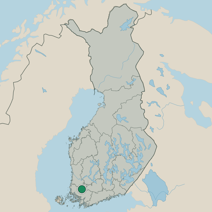
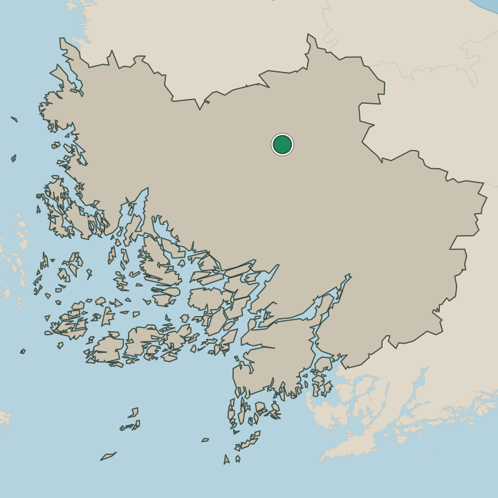
Where is Pöytyä?
Pöytyä lies inland in Varsinais-Suomi, in south-western Finland, a municipality of field, clay and forest set away from the sea. Farmland and woodland fill the kunta, the church village around the Pöytyän kirkko holding the centre while the old parish settlements of Yläne and Karinainen lie out among the fields. The land rolls low and open.
Deep in the forest, the seven-municipality marker of the Kuhankuono sits on the far edge of the parish, marking this inland corner of south-western Finland.
What is the climate of Pöytyä?
Pöytyä has the cool inland weather of the farm country of Varsinais-Suomi, its seasons turning with the fields and woods of south-western Finland. Winters are cold and snowy, the frost settling over the clay fields and the church village around the Pöytyän kirkko from early in the season until the spring thaw. Summers are warm and bright.
The long northern daylight ripens the grain of the kunta and warms the forests near the Kuhankuono through the growing season, the working months of the parish before the snow returns.
How do you get to Pöytyä?
Pöytyä is reached by road through the inland country of Varsinais-Suomi, in south-western Finland. Most traffic comes by car along the main roads to the church village around the Pöytyän kirkko, the natural centre of the spread-out kunta. The old station no longer takes passengers.
The heritage buildings of the Kyrön rautatieasema stand by the line, but visitors come by car or bus, and travellers from farther afield reach south-western Finland through the regional city before the last stretch into the parish.
Where Pöytyä sits
Boundaries © geoBoundaries (CC BY) & Wikidata (CC0); water & neighbours: Natural Earth.