India · State of Tamil Nādu
Where to Stay in Karur, State of Tamil Nādu
Karur stands on the Amaravathi, the Kaveri and the Noyyal in Tamil Nadu, the headquarters of Karur district and a municipal corporation in its own right.
Hotel links are affiliate links: booking through them may earn us a commission, at no extra cost to you. It never affects how places are ranked. How this works


Where to stay in Karur
The practical side of choosing where to sleep.
Karur is a district headquarters, and the rooms follow the offices. Most stays are short and practical, tied to business with the Karur Municipal Corporation or to a break in a drive across the interior, and the beds sit where that traffic passes rather than in any quarter built for visitors. Water is the one choice worth making.
A room towards the Amaravathi puts the river bed within an easy walk of the centre. The Kaveri and the Noyyal reach the city too. Three rivers around a place of about 31 square kilometres means water is never far from wherever a traveller ends up sleeping, and the choice between them matters less than the choice between the centre and the outskirts. Chennai is 395 km away.
If you are working through Karur district rather than passing across it, a night here beats the long run back towards the state capital, and the Government Museum fills whatever the working day leaves over. Karur Municipal Corporation runs the whole of that ground, so an address in the city and one on its edge come to much the same thing for a visitor.
Find hotels in Karur
Direct booking searches for these neighbourhoods.
The Amaravathi bank
The river side of Karur, where the bed of the Amaravathi is itself the named featureFind hotels in The Amaravathi bankBusiness with the Karur Municipal CorporationThe municipal centre
The administrative middle of the city, with the Government Museum a short walk offFind hotels in The municipal centreQuiet nights on the third of the city's riversTowards the Noyyal
The Noyyal edge of Karur, away from the offices and the museumFind hotels in Towards the NoyyalHotel links are affiliate links: booking through them may earn us a commission, at no extra cost to you. It never affects how places are ranked. How this works
About Karur
Three rivers give the city its ground.
What is Karur known for?
Karur sits on the banks of the Amaravathi, the Kaveri and the Noyyal, which is unusual enough that the record puts it first after the city's administrative role. The Government Museum holds the local collection. Down at the Amaravathy river bed the water itself is the named feature rather than anything standing beside it.
What are the main landmarks in Karur?
The list runs to two entries. A Government Museum stands in the city, and the Amaravathy river bed is named beside it, which makes the water as much a landmark here as anything built. Beyond those two, the register is silent.
Karur district holds whatever else a visitor might drive out to, and the city itself keeps its interest to the rivers and the museum.
What is the history of Karur?
Karur's founding year never made the record. Karur is documented as a city and municipal corporation in Tamil Nadu, administered by the Karur Municipal Corporation and serving as the headquarters of Karur district, and that administrative frame is the whole of what the sources fix. Rivers explain the site.
The Amaravathi, the Kaveri and the Noyyal all reach the city, and a settlement placed on three of them is plainly older than the corporation that now governs it, even if nothing here says when it began. Chennai is the reference point the sources use. Karur stands 395 km southwest of the state capital, which is the one measured distance the record carries and the clearest indication of how far into the interior of Tamil Nadu the city lies.
The museum has no date attached. Neither does the Amaravathy river bed, so a visitor reading the past here works from the ground and the water rather than from any list of years, and the documented history begins with the corporation that runs the place. Karur district takes its name from the city.
Where is Karur?
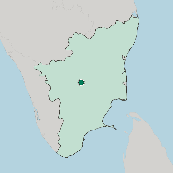
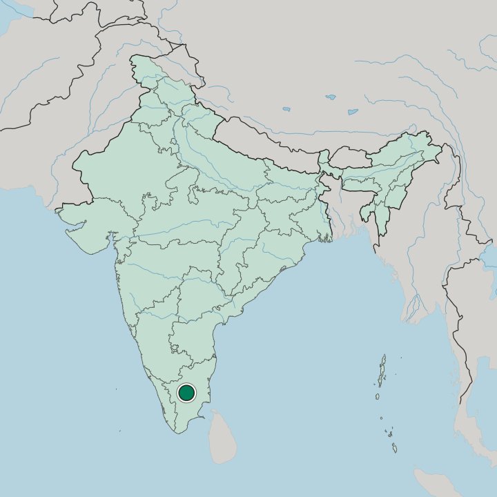
Karur covers about 31 square kilometres. The Amaravathi, the Kaveri and the Noyyal all run past the city, and the record leads with those three rivers before it turns to anything the place has built. Chennai lies 395 km off.
Karur district spreads inland around the city, well away from any coast.
What is the climate of Karur?
The rivers keep the season visible. Karur lies inland in the tropical band north of the equator, so heat rather than cold shapes the year, and the level in the Amaravathy river bed says more about the month than any calendar does. Shade matters by midday.
The Kaveri and the Noyyal fall and rise on the same schedule, and the ground between them dries hard when the rain holds off.
How do you get to Karur?
Chennai sets the distance. Karur stands 395 km southwest of the state capital, far enough that arrival is a matter of the road or of a connection through somewhere nearer rather than a short hop. No terminal is named in the record.
Roads across the interior of Tamil Nadu carry most of what reaches Karur district, and the rivers are the landmarks a driver notices before the city itself.
Common questions
What is the best area to stay in Karur?
The Amaravathi bank: Stays wanting the Amaravathy river bed on the doorstep. The municipal centre: Business with the Karur Municipal Corporation. Towards the Noyyal: Quiet nights on the third of the city's rivers.
More cities in State of Tamil Nādu
Updated September 2026