Iran · Razavi Khorasan Province
Where to Stay in Torbat-e Ḩeydarīyeh, Razavi Khorasan Province
Torbat-e Ḩeydarīyeh, the world's largest saffron producer, keeps the tomb of Qutb ad-Dīn Haydar at its centre, south of Mashhad in Razavi Khorasan.
Find your area →


Where to stay in Torbat-e Ḩeydarīyeh
Where visitors usually base themselves, and why.
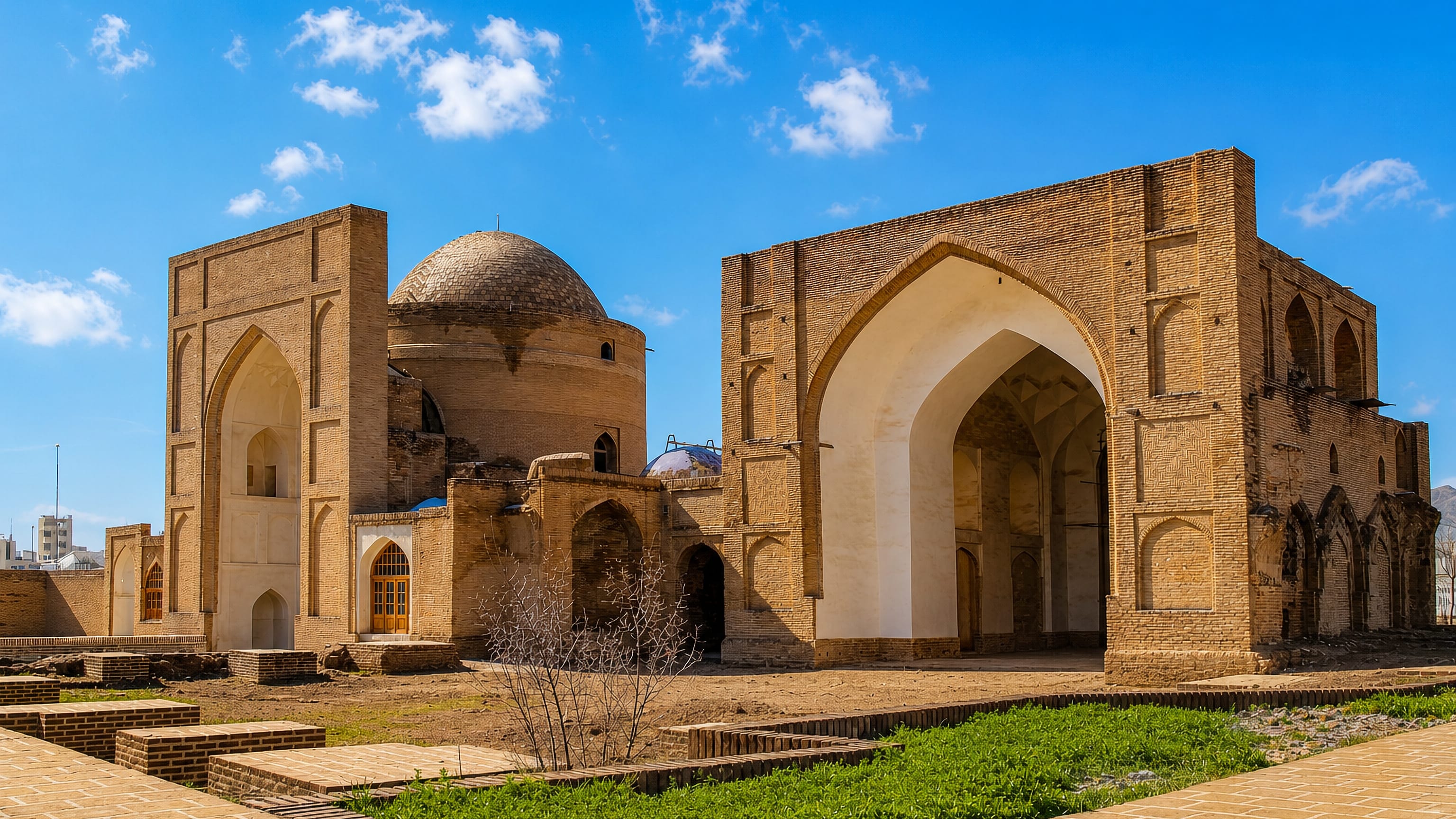
The tomb sets the centre. Qutb ad-Dīn Haydar lies under a domed building in the heart of Torbat-e Ḩeydarīyeh, and the streets ringing it carry the county offices, the markets, and the two registered monuments the town is best known for. Qaem Street runs east of the shrine past Rabat-e Tabasi; Rowhbakhsh Street ends at the Haji Ra'is bathhouse.
Both streets are walkable from it. Bagh-e Soltani, the quarter where the British and Russian consulates once worked, sits inside the same fabric, and the Bagh-e Melli complex and Mellat Park give the built-up area its green edge. Pishkuh changes the arithmetic for anyone with a car.
The mountain park climbs the slope on the town's rim, wide enough to swallow a whole day, with a shrine garden, a stone park, and a traditional cafe along the way, and it looks back over the roofs from the foot of the hills. Further out, Torbat-e Ḩeydarīyeh County spreads west toward Bayg and Kadkan and north-west toward Senowbar, where terraced houses, fruit gardens, and the Shast-Darreh stream pull weekend traffic off the main road. Hesar keeps a small ecolodge beside its river.
Rudma'jen lies farther again, four kilometres short of the waterfall that drops out of the Chehel Tan range. It suits you if the saffron harvest, the shrine, or the hill villages are the reason for the trip rather than the pilgrim crowds of Mashhad, 175 kilometres off. Journeys inside the county stay short.
About Torbat-e Ḩeydarīyeh
Saffron made the name.
What is Torbat-e Ḩeydarīyeh known for?
Torbat-e Ḩeydarīyeh stands at the head of the world's saffron trade, which is why Iran calls it the capital of red gold, and the crop carries on across the neighbouring counties of Zaveh and Mahvalat. Silk follows it. Most of the country's silk yarn is reeled in the county, much of it around the small town of Bayg, and cumin, pistachios, and almonds leave the same markets.
Zarmehr Gold cast Iran's first gold ingots.
What are the main landmarks in Torbat-e Ḩeydarīyeh?
Six monuments carry the record. The Jameh Mosque and the mosque beside the tomb of Qutb ad-Dīn Haydar hold the centre, both within the streets the county offices use. Rabat-e Tabasi and Rabat-e Lari survive from the Qajar era as caravanserais, and the Haji Ra'is bathhouse at the end of Rowhbakhsh Street is on Iran's national heritage register.
Sheikh Abolqasem Gorgani's tomb stands close by. Mah Pari, a cave near Senowbar, holds traces of prehistoric settlement.
What is the history of Torbat-e Ḩeydarīyeh?
Zaveh came first. The settlement that became Torbat-e Ḩeydarīyeh was known as Zaveh, and as the district of Rokh, long before a shrine renamed it; pottery from several sites and the Kadkan petroglyphs put people in this country in the fourth and fifth millennia BC, and Mah Pari held some of the earliest of them. Its founding is credited to Zu-Tahmasb.
Zaveh enters the written record with the Arab conquest of Khorasan, when Abdullah ibn Amir took Rokh, Zaveh, Khaf, and Esfarayen on the way to Nishapur. Then came the mystic. Qutb ad-Dīn Haydar travelled from Turkestan, settled at Zaveh, and died there around 1230 as head of the Heydaris, the ascetic dervish order named after him.
The town took his burial place for its name. The Mongol invasion reached Zaveh in the same generation, and its people were among the first victims of it. Recovery was slow.
Torbat-e Ḩeydarīyeh became a town only after the Safavid period, and its rebuilding belongs to Ishaq Khan Qaraei, chief of the Qarai Turks, who governed as a semi-independent khan from 1775 to 1816 and remade so much of the place that it went by Ishaq Khan Torbat for generations. Before the Second World War the British and Russian consulates worked out of Bagh-e Soltani, which says plainly what the town was worth to two empires. Mohammad Qahraman, who wrote Faryad-e Torbati in the local dialect, was born here.
Where is Torbat-e Ḩeydarīyeh?
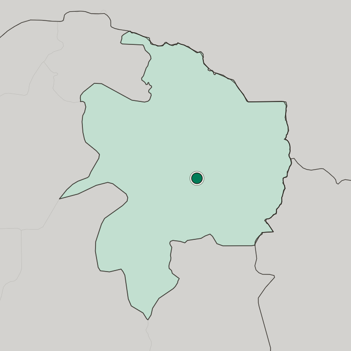
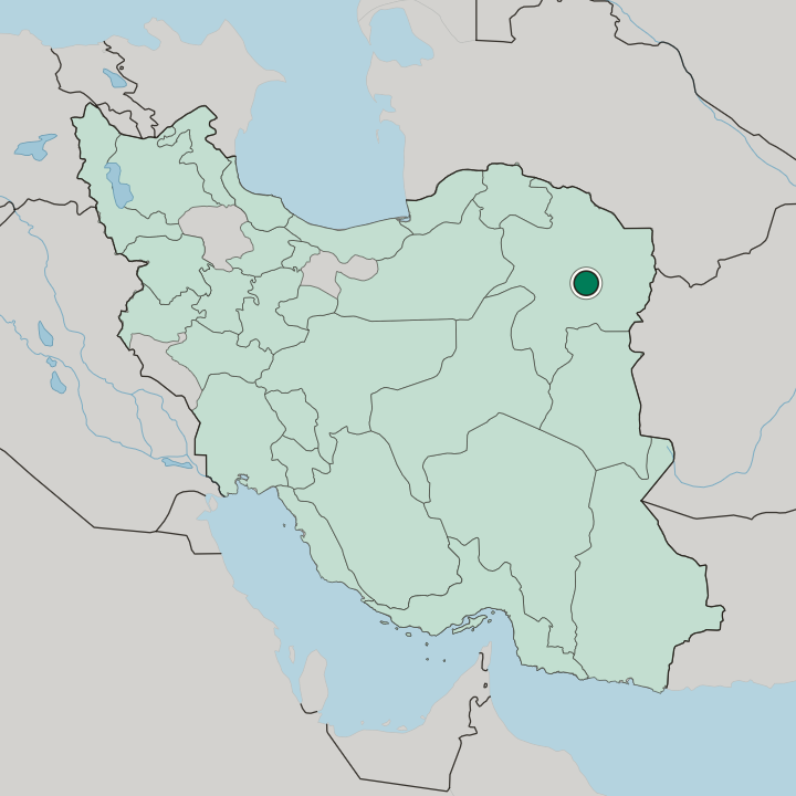
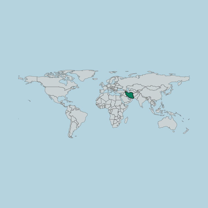
The southern slopes of Kuhsorkh hold the town. Torbat-e Ḩeydarīyeh lies on high ground in Razavi Khorasan, about 1450 metres up, with saffron fields opening away from the built edge and the Hesar river coming down out of the hills to water a string of villages. No sea is within reach.
Malekan, the highest summit in Torbat-e Ḩeydarīyeh County, rises in the Kadkan district to the north-west, and the Chehel Tan range stands west of it above the Rudma'jen waterfall. Bazmay and Zharf, protected ground east in the Zaveh highlands, keep wild sheep, pheasant, wolf, and eagle.
What is the climate of Torbat-e Ḩeydarīyeh?
The county runs short of water. Torbat-e Ḩeydarīyeh stands inland with no sea near it, and two of the county's steelworks have crawled partly because there is so little of it, which is why a transfer from the Gulf of Oman was begun to supply the big plants. Senowbar, up the valley to the north-west, keeps a cooler and greener summer than the streets below.
The Hesar river runs full enough to green its own valley, and the Kariz-e Ab Barik spring at Quzan is prized for what it carries in mineral content.
How do you get to Torbat-e Ḩeydarīyeh?
Only the road brings visitors in. Four approaches feed the town: the Mashhad bypass from the north, the Torbat-e Jam road from the east, the Bayg road from the west, and the Gonabad bypass from the south. Buses run daily to the northern and southern counties.
Shahid Modarres Airport has yet to open, so the nearest air link is Mashhad, 175 kilometres off. The Kashmar road leaves west past Quzan.
More cities in Razavi Khorasan Province
Updated September 2026