Iceland · Höfuðborgarsvæði · Reykjavík
Hlíðar, Reykjavík — Area Guide & Where to Stay


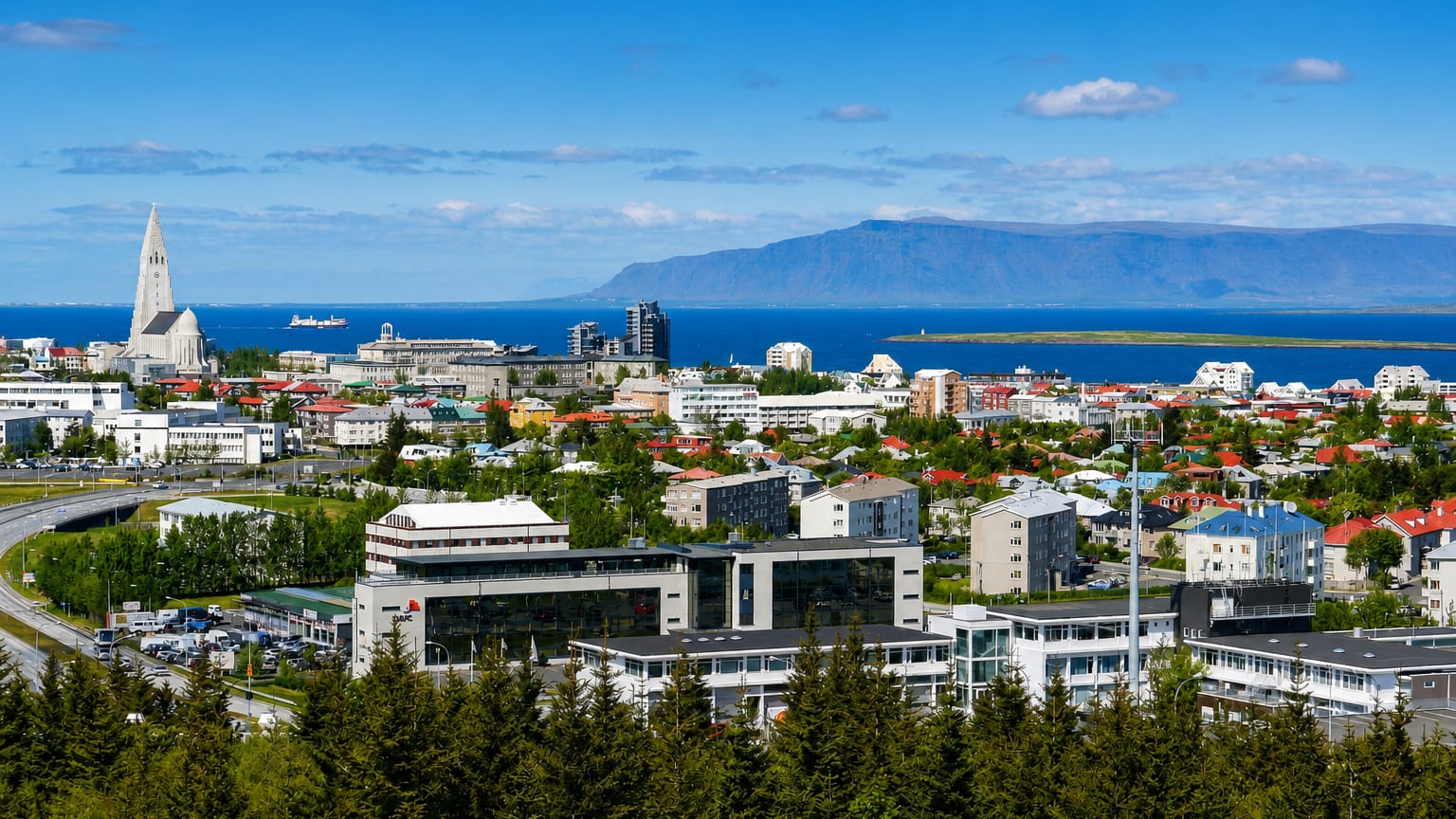
Hlíðar is a residential district on the gentle slopes east of central Reykjavík, named for the hillsides its streets climb and built around the open green of Klambratún.
About Hlíðar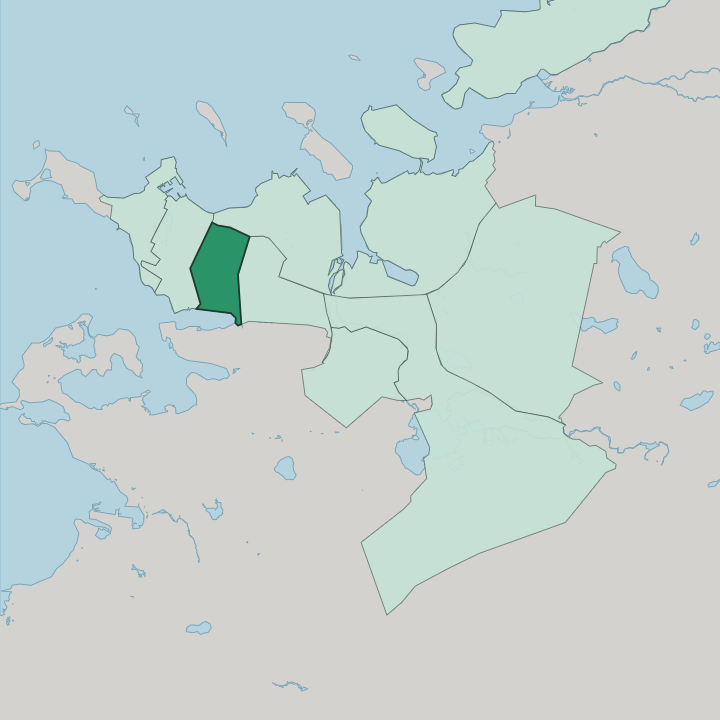
Where to stay in Hlíðar
Where you base yourself shapes the visit — here's the character of each area.
Most lodging sits on quiet residential streets. Expect guesthouses and serviced apartments alongside a few small hotels, not the large places that crowd downtown. Norðurmýri, with its 1930s concrete houses, draws travellers who want a calm base within easy walking distance of the centre, as do the leafy -hlíð streets around Klambratún.
Buses run through Hlemmur toward downtown and out to the eastern suburbs. The Kringlan shopping centre sits just across Kringlumýrarbraut, in the next district east. It all suits longer stays.
Quiet matters more here than nightlife.
About Hlíðar
What are the main landmarks in Hlíðar?
Klambratún is the district's central park, a broad lawn where people sunbathe or play ball, with the Reykjavík Art Museum's Kjarvalsstaðir building at its northern edge showing modern Icelandic work, including paintings by Jóhannes S. Kjarval. A low rise to the north carries Háteigskirkja, a Lutheran church recognisable by its four dark spires. At the western edge sits Hlemmur Mathöll, the city's first food hall, in the former Hlemmur transport hub. Öskjuhlíð closes the district to the south.
The tree-covered hill is topped by the Perlan dome and slopes down toward the Nauthólsvík geothermal beach.
What is the history of Hlíðar?
Hlíðar grew as Reykjavík spread beyond its old core through the early and mid 20th century. Norðurmýri came first. Laid out in the 1930s, it was among the earliest planned neighbourhoods outside the original town, its concrete houses faced with the crushed-stone render that the state architect Guðjón Samúelsson developed to withstand the weather.
The grid of -hlíð streets then filled the slopes above over the following decades. Öskjuhlíð became the site of the city's first geothermal water tank in 1939, and Klambratún was laid out as a public park in the 1960s, carrying the name Miklatún for a time before reverting to Klambratún, after the farm that once stood there.
Where is Hlíðar?
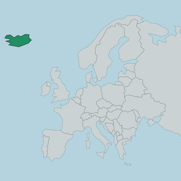
It sits just east of downtown. Laugavegur, the main shopping street, ends at Hlemmur, and from there the land rises gradually toward the wooded hill of Öskjuhlíð in the south. Kringlumýrarbraut marks the eastern edge.
The residential streets follow a grid, and they lend the district its name, a run of roads ending in -hlíð, meaning slope.
Good for
More areas in Reykjavík
Updated July 2026