Iceland · Höfuðborgarsvæði · Reykjavík
Kjalarnes, Reykjavík — Area Guide & Where to Stay


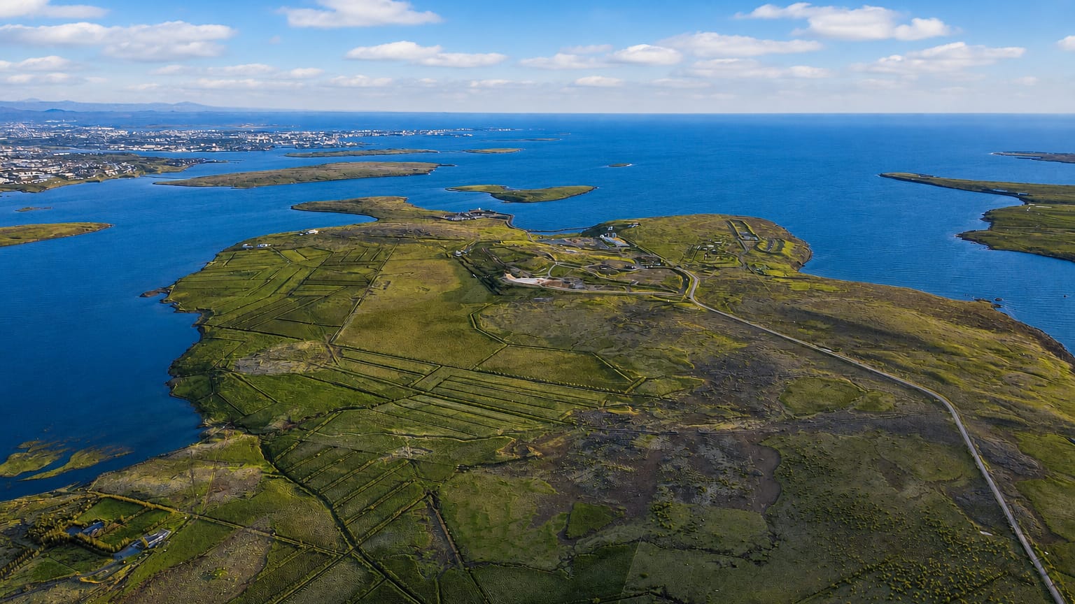
Kjalarnes is the northernmost and most rural district of Reykjavík, a broad peninsula spread beneath Mount Esja where farms and a single small village stand in place of city streets.
About Kjalarnes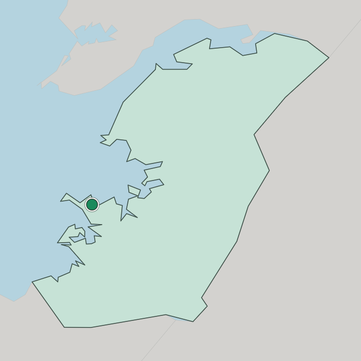
Where to stay in Kjalarnes
The right area depends on your trip — here's what each neighbourhood is best for.
Accommodation here runs to guesthouses, farm stays and self-catering cottages rather than city hotels, scattered across open countryside below the mountain. Grundarhverfi is the district's only village. Its few quiet streets, among them Kollagrund, gather the school, the sports hall and the Klébergslaug pool.
A base in Kjalarnes suits walkers and drivers who want early access to Esja and the northern road, with central Reykjavík a short drive down the coast.
About Kjalarnes
What are the main landmarks in Kjalarnes?
Esja draws most visitors. The marked trail from the mountain's foot at Esjurætur climbs past the boulder known as Steinn, the usual turning point, before steeper ground carries on to the Þverfellshorn and Kerhólakambur summits. Below the slopes at Mógilsá lies Iceland's forestry research station, its planted woods threaded with easy walking paths.
Brautarholtskirkja, a black timber church consecrated in the nineteenth century, stands on a headland above the sea, while the farm at Esjuberg is linked by the medieval Book of Settlements to one of the first Christian churches built in Iceland. A second old parish church, Saurbæjarkirkja, serves the surrounding farms at Saurbær.
What is the history of Kjalarnes?
Settlement here reaches back to Iceland's founding age. According to the Book of Settlements, Örlygur the Old took the land between the Mógilsá river and the brook Ósvífurslækur, then made his home at Esjuberg. Farming and fishing sustained it for centuries.
Its churches at Brautarholt and Saurbær mark parishes of long standing. Kjalarnes governed itself as a separate rural municipality until it merged into Reykjavík in 1998, becoming the city's largest and least crowded district. Much of the land stays working farmland and open mountainside rather than suburb.
Where is Kjalarnes?
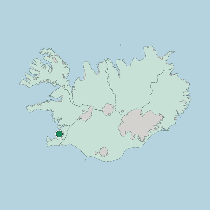
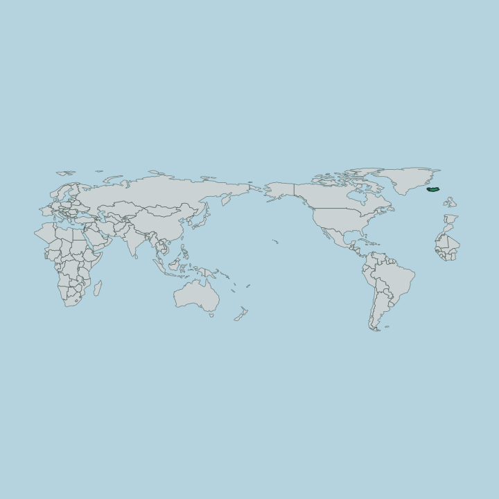
Kjalarnes sits along the coast north of the main city. The Ring Road leads there, running past Mosfellsbær on the way toward the Hvalfjörður fjord that bites deep into the land beyond. Esja walls the inland edge.
Seaward, the ground falls away to Kollafjörður bay and the open Atlantic.
Good for
More areas in Reykjavík
Updated July 2026