Japan · Nagasaki Prefecture
Where to Stay in Isahaya, Nagasaki Prefecture
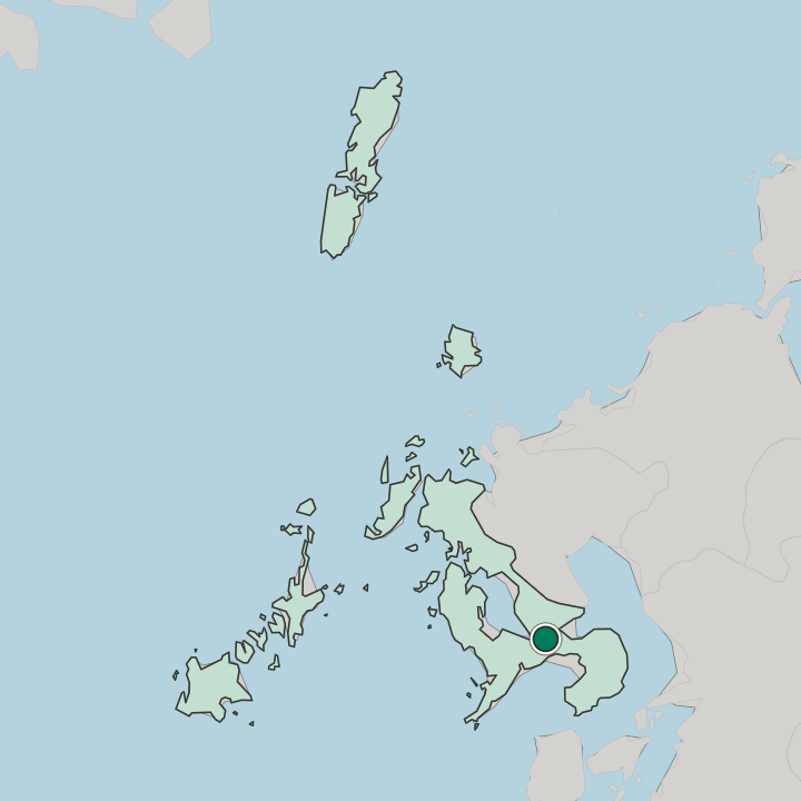
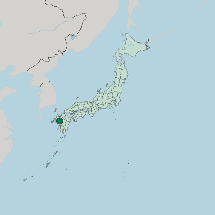
Isahaya holds the plain between Ōmura Bay, the Ariake Sea and Tachibana Bay, where the Honmyō River crosses central Nagasaki Prefecture.
Hotel links are affiliate links: booking through them may earn us a commission, at no extra cost to you. It never affects how places are ranked. How this works


Where to stay in Isahaya
Where visitors usually base themselves, and why.
Isahaya Station decides most of it. The Nishi Kyushu Shinkansen calls there, the Nagasaki Main Line and the Ōmura Line cross there, and the Shimabara Railway begins its run to the peninsula from the same set of platforms, with the prefectural bus terminal on the forecourt outside. Beds within walking reach of that concourse suit a traveller using the city as a base for Nagasaki Prefecture rather than as a destination in itself.
The old centre is a short walk off. Isahaya Park, the Megane Bridge and Isahaya Shrine stand on the Honmyō River side of the tracks, and the cherry embankment along the water is the one stretch worth timing a spring visit around. City hall sits nearer Hon-Isahaya.
The merged towns are the second option. Tarami, Moriyama, Iimori, Takaki, and Konagai came into the city in 2005, and each of them keeps its own coast or hill country: oyster racks off Konagai, spring water at Todoroki Gorge, mikan groves at Ikiriki in Tarami, and a marine park beach in Iimori. A car matters out there.
Rooms thin out fast beyond the station district, the Isahaya Plain is wide, and the drive from one edge of the municipality to the far side is a real part of planning a day. Shirakimine Highland lies further out still, up where the Tara range walls the northern boundary.
About Isahaya
Isahaya works as a junction.
What is Isahaya known for?
The Nagasaki Kaidō, the Tara Kaidō and the Shimabara Kaidō all met on this ground, and the roads that replaced them still carry traffic between the Nagasaki Peninsula and the Shimabara Peninsula. Reclamation is the other signature: dyke and sluice work along Isahaya Bay turned tidal flat into the largest grain country in Nagasaki Prefecture. Factories took the level ground.
Electronics and aerospace suppliers fill the industrial parks on the western side, while the Isahaya Museum of Art & History keeps the city's art and its local record in one collection.
What are the main landmarks in Isahaya?
A stone arch comes first. The Megane Bridge stands in Isahaya Park above the Honmyō River, and Isahaya Shrine keeps a tradition that puts a stone shrine on its site in 728, raised by the monk Gyōki at the command of Emperor Shōmu. The Isahaya Museum of Art & History gathers art and local record together.
Water accounts for the rest of the list: Todoroki Gorge is counted among the hundred famous waters of Japan, and Shirakimine Highland opens the view north from the hills.
What is the history of Isahaya?
Early records call the estate Isahaya-no-shō, and a register of Hachiman Usa Shrine lands compiled in 1197 carries the earliest written form of the name. Control changed hands often. The Hizen branch of the Saigō family took the district during the Nanboku-chō era and raised the castle of Takashiro over it, and after Hideyoshi's Kyushu campaign of 1587 the Ryūzōji were installed in their place, the second lord adopting Isahaya as a surname.
Saga Domain then held the territory. Post stations and a checkpoint of the Nagasaki Kaidō stood inside it, at the point where the Tara Kaidō and the Shimabara Kaidō branched away. City status came on 1 September 1940, when the town took in Oguri, Ono, Yuki, Matsuyama, Motono, and Nagata.
Water wrote the next chapter. A downpour in July 1957 sent the Honmyō River through the streets and killed more than 500 people, and the Mantō-gawa festival still marks that date every year. Reclamation of Isahaya Bay began under the agriculture ministry in 1989, closing the head of the bay behind an embankment whose sluice gates now carry a road toward Unzen.
The merger of 2005 brought in Tarami, Moriyama, Iimori, Takaki, and Konagai, which left Kitatakaki District with nothing to administer and ended it. In 2022 the Nishi Kyushu Shinkansen reached the station.
Where is Isahaya?
Three seas box the city in. Ōmura Bay lies to the north-west, the Ariake Sea and its Isahaya Bay inlet to the east, and Tachibana Bay to the south, so the built ground sits on the neck between the Nagasaki Peninsula and the Shimabara Peninsula. The Tara range walls the north. Mount Gokahara rises within it, and the Honmyō River, the only class-one river in Nagasaki Prefecture, crosses the Isahaya Plain from those hills to the reclaimed flats behind the bay.
What is the climate of Isahaya?
Three seas moderate it. Warm summers and mild winters give Isahaya a humid subtropical year in which snow barely registers on the plain, with August at the hot end and January at the cool one. September brings the heaviest rain.
A stalled front can be severe here: the downpour of July 1957 put the Honmyō River through the town, and the Isahaya Museum of Art & History makes the obvious indoor hour when the sky closes over the Isahaya Plain.
How do you get to Isahaya?
Isahaya Station is the junction. The Nishi Kyushu Shinkansen has called there since 2022, the Nagasaki Main Line crosses the city from the Ariake Sea shore to Kikitsu, and the Ōmura Line runs north along Ōmura Bay, while the Shimabara Railway leaves the same station for the peninsula by way of Hon-Isahaya and Moriyama. Buses work from the terminal on the station forecourt.
Drivers take the Nagasaki Expressway or National Route 34, and the dyke road across Isahaya Bay links Takaki with Unzen.
More cities in Nagasaki Prefecture
Updated October 2026