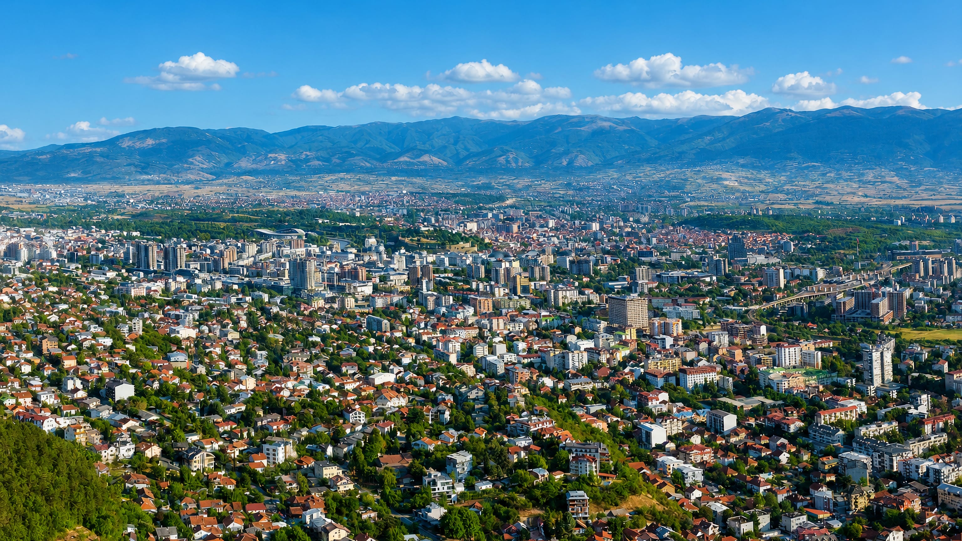
North Macedonia: Regions, Cities & Travel Guide
North Macedonia is a landlocked Balkan country of lakes and mountains, with Skopje on the Vardar as its capital.
Hotel links are affiliate links: booking through them may earn us a commission, at no extra cost to you. It never affects how places are ranked. How this works


Top destinations in North Macedonia
Cities to start from, then drill into areas and hotels.
 North Macedonia
Skopje
Skopje is the capital of North Macedonia, set in the Skopje Valley along the Vardar River.Where to stay →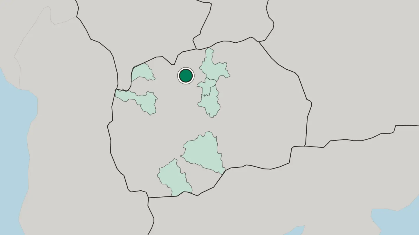
 North Macedonia
Bitola
Bitola is a historic city in southwestern North Macedonia, an old Ottoman town on the Pelagonia plain below Mount Pelister.Where to stay →
 North Macedonia
Tetovo
Tetovo is a city at the foot of the Šar Mountains in North Macedonia, known for a famous painted mosque and a Sufi lodge.Where to stay →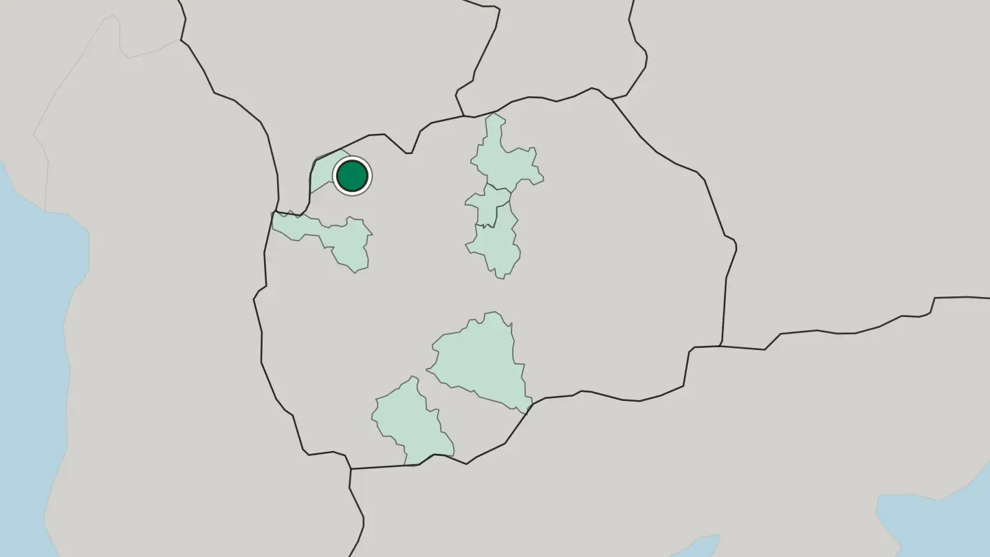
 North Macedonia
Kumanovo
Kumanovo is a city in northern North Macedonia, near an ancient hilltop observatory of the Bronze Age.Where to stay →
 North Macedonia
Prilep
Prilep is a city on the Pelagonia plain of North Macedonia, beneath the rocky hills crowned by Marko's Towers.Where to stay →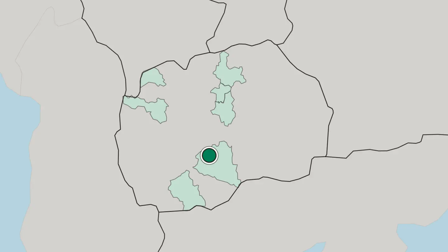
 North Macedonia
Gostivar
Gostivar is a town in the Polog valley of northwestern North Macedonia, below the Šar Mountains at the head of the Vardar.Where to stay →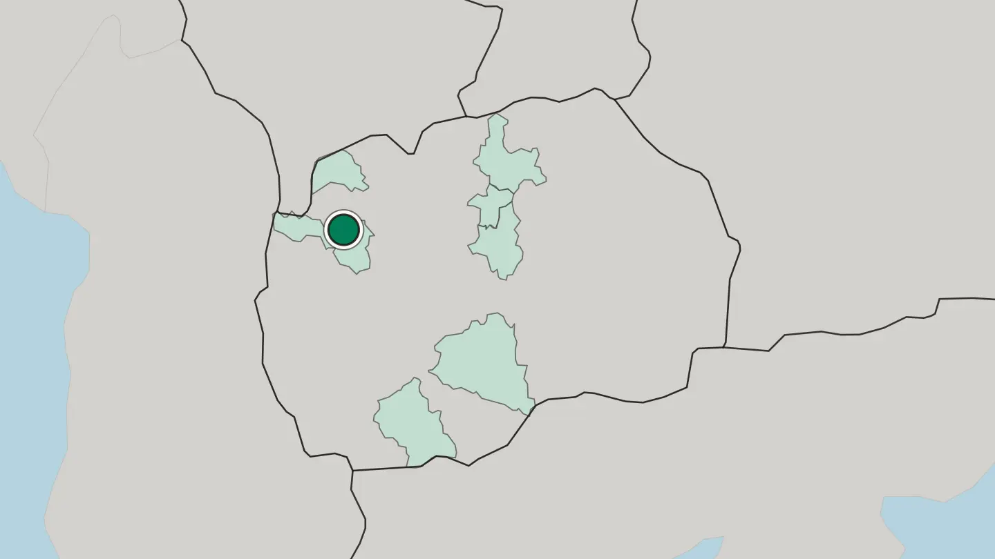
 North Macedonia
Veles
Veles is an old town on the Vardar in central North Macedonia, its stone houses climbing the river hills in tiers below an old fortress.Where to stay →
Hotel links are affiliate links: booking through them may earn us a commission, at no extra cost to you. It never affects how places are ranked. How this works
Regions of North Macedonia
North Macedonia
Bitola
Bitola is a municipality in the southern part of North Macedonia, straddling the Dragor River at the foot of Baba Mountain.Towns & cities →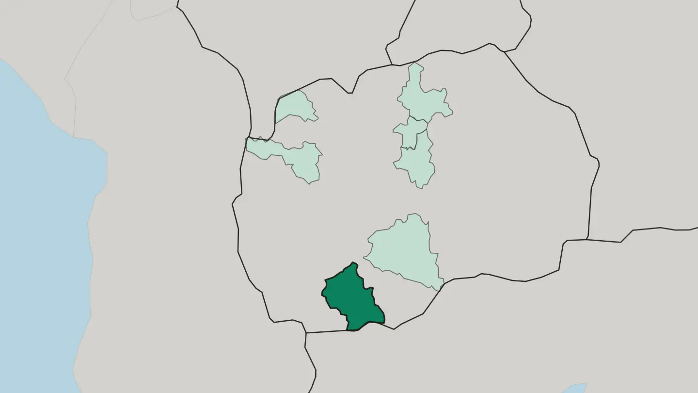 North Macedonia
Gostivar
Gostivar is a municipality in the western part of North Macedonia, the second-largest town of the Polog region, beneath the Šar Mountain range.Towns & cities →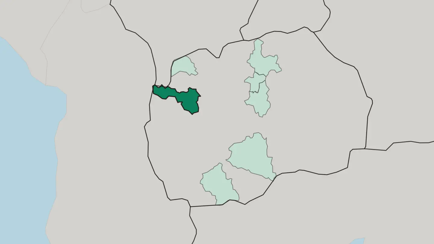 North Macedonia
Grad Skopje
Grad Skopje is the region around the capital of North Macedonia, filling the Skopje Valley on the Vardar River.Towns & cities →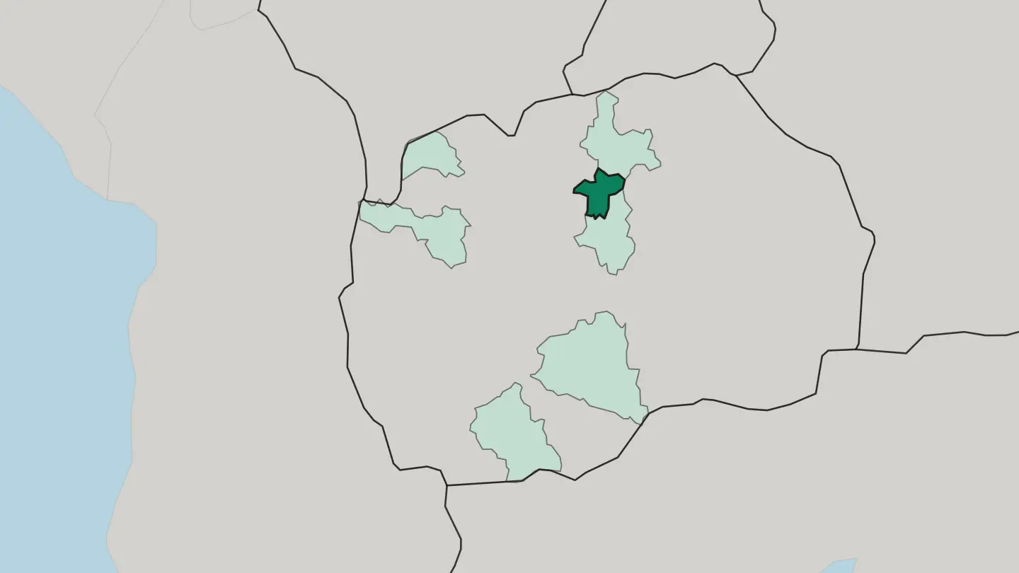 North Macedonia
Kumanovo
Kumanovo is a municipality in the northern part of North Macedonia, spread along a long valley northeast of Skopje.Towns & cities →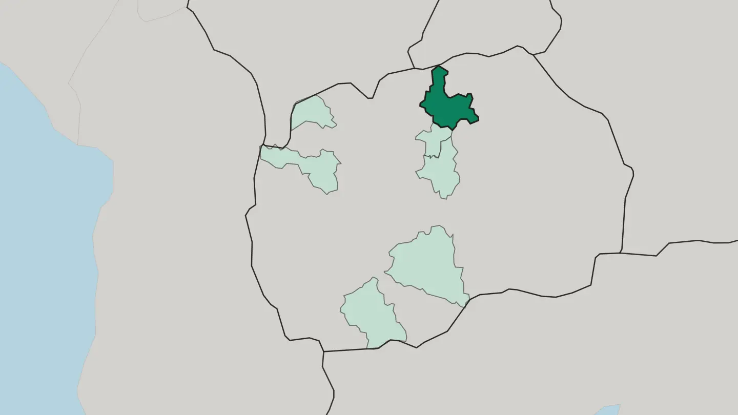 North Macedonia
Prilep
Prilep is a municipality in the south of North Macedonia, known as the city under Marko's towers for the fortress that stands above it.Towns & cities →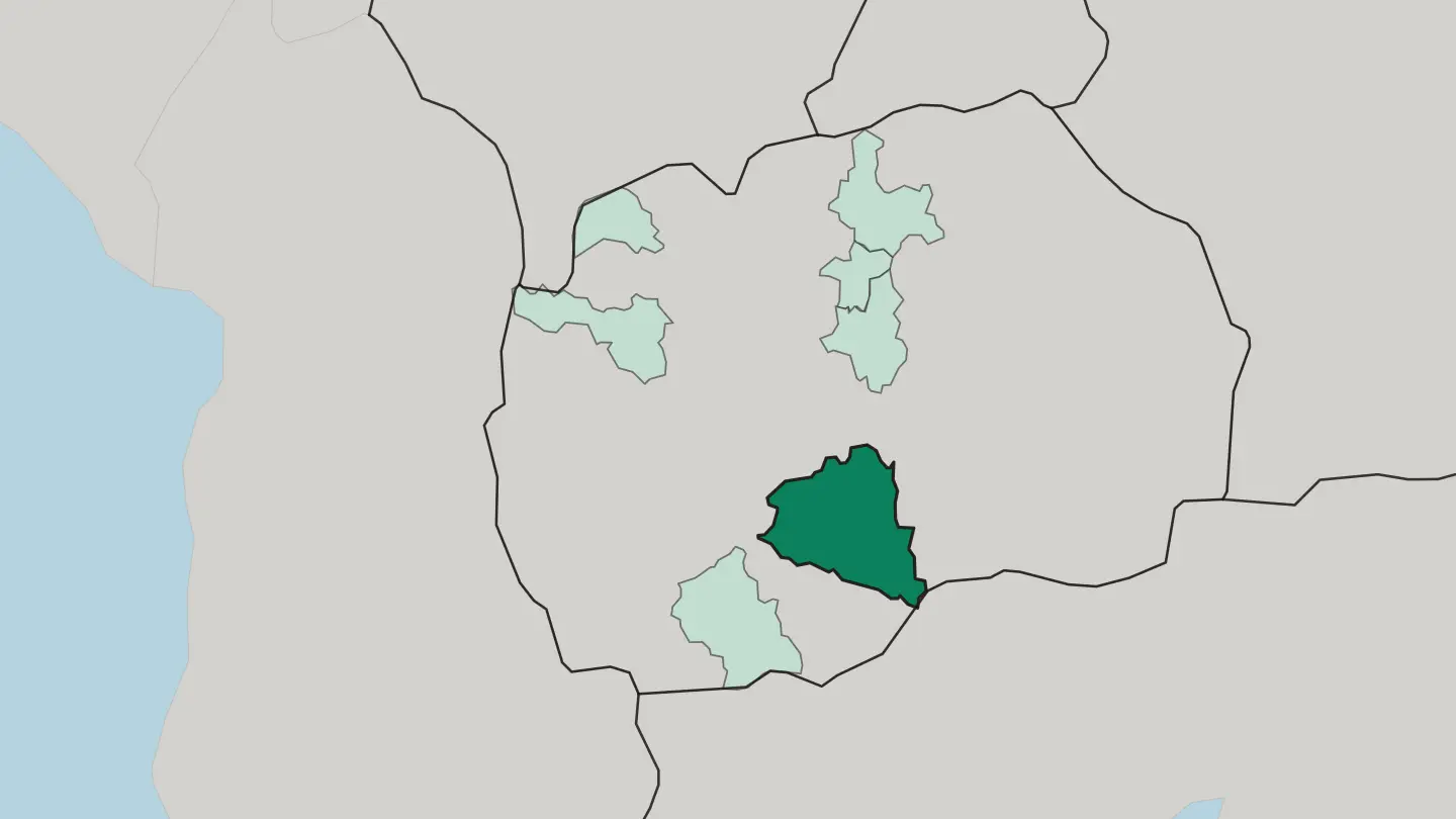 North Macedonia
Tetovo
Tetovo is the largest town of the Polog region in North Macedonia, an Albanian-majority seat of Ottoman monuments below the Šar Mountains.Towns & cities →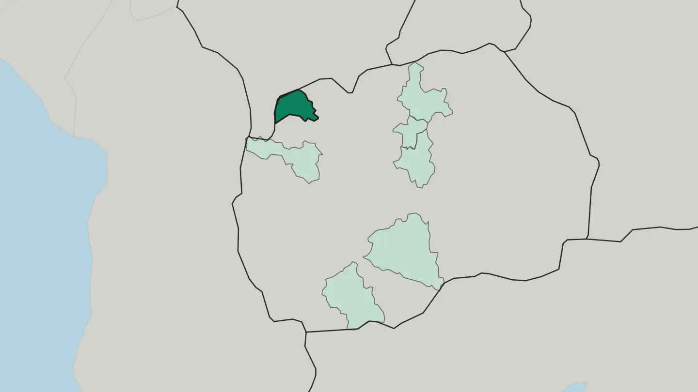 North Macedonia
Veles
Veles straddles the Vardar in North Macedonia's Povardarie, a municipal seat of twenty-seven villages on the country's most important river.Towns & cities →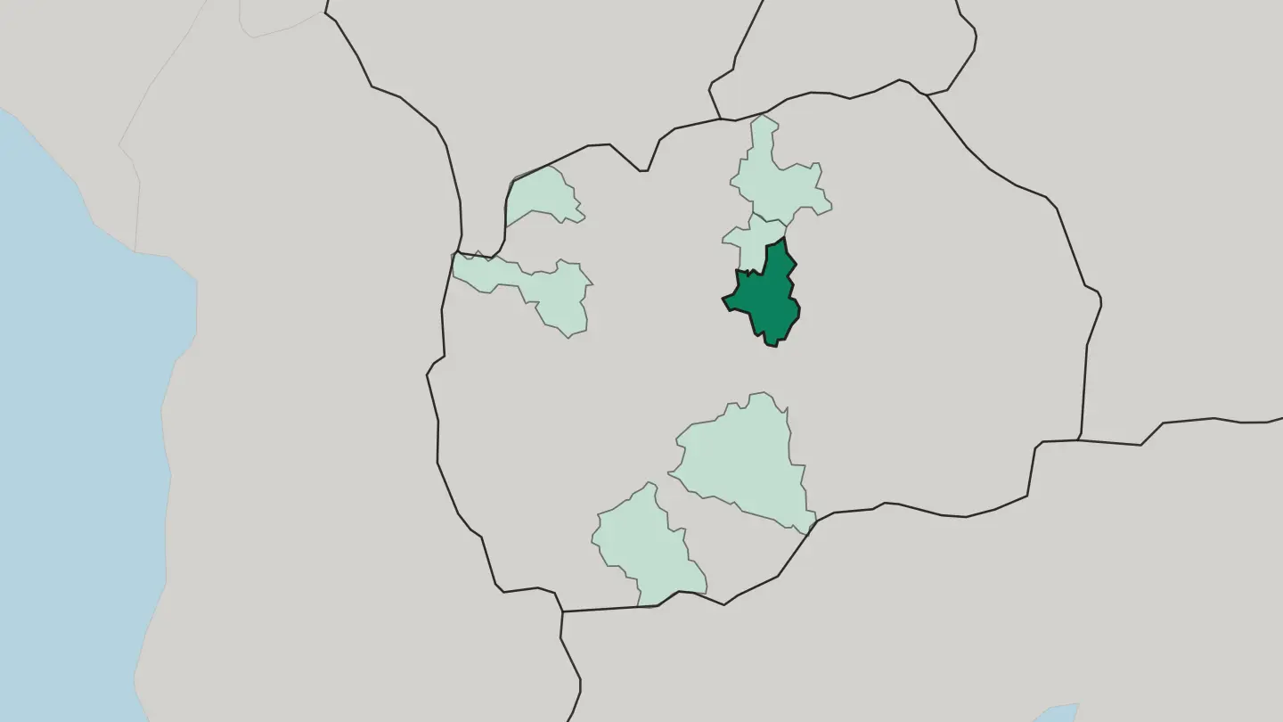
Explore by experience
Not sure which place? Start from how you want to travel.
About North Macedonia
What is North Macedonia known for?
Lake Ohrid defines the country in most travellers' minds. Ancient, deep, and shared with Albania, it fringes the old town of Ohrid and its Byzantine churches. Skopje pulls in a different crowd, drawn to its Ottoman bazaar and the marble sprawl of Macedonia Square.
The land climbs from there. Mount Korab crowns the western border, the wooded slopes of Mavrovo National Park keep the skiers and summer hikers, and the broad Pelagonia plain around Bitola ripens grain, tobacco, and vineyards.
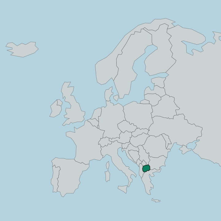
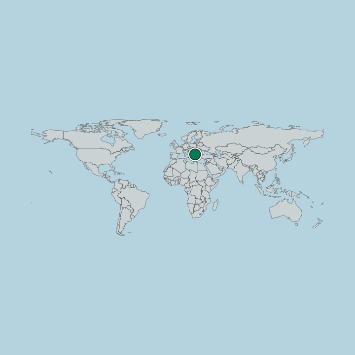
Where is North Macedonia?
North Macedonia occupies the northern third of the wider geographical region of Macedonia, landlocked in the heart of the Balkans. Its shape is easy to read from the ground: a central corridor cut by the Vardar, the country's longest river, which enters near Skopje and runs south toward the Greek border on its way to the Aegean. Mountains wall this valley on both sides.
The Šar Mountains rise along the northwestern frontier with Kosovo, and further south the border with Albania climbs to Mount Korab, the highest point in the country at over 2,700 metres. Water gathers at the country's edges. Three tectonic lakes sit on the southern rim, the ancient Lake Ohrid and Lake Prespa straddling the lines with Albania and Greece, with smaller Dojran to the southeast.
The lowlands tell a different story. The Pelagonia plain spreads broad and fertile around Bitola and Prilep in the south, the country's main grain and tobacco basin, while west of Skopje the Vardar's tributary the Treska carves the narrow gorge of Matka Canyon. Rugged uplands cover most of the rest.
Forests of beech and oak give way to alpine pasture on the higher ridges, and glacial lakes dot the range around Mavrovo National Park. From lakeshore to summit, the land rarely stays level for long.
What is the history of North Macedonia?
The land here has changed hands for as long as it has been written about. Long before the Slavs, the Pelagonia plain held the Greek and Roman city of Heraclea Lyncestis, whose mosaic floors still lie exposed on the edge of Bitola. Ohrid became a centre of Slavic learning under Saints Clement and Naum, and for a time the seat of the medieval Bulgarian Tsar Samuel.
Ottoman rule followed next. For roughly five centuries, from the late fourteenth century until the Balkan Wars of 1912 and 1913, the region sat within the Ottoman Empire, and that long span shaped its towns, mosques, bazaars, and cooking. Serbian rule and then the two world wars followed.
The name Macedonia was adopted as a formal political title only after the Second World War, when the territory became one of the six constituent republics of socialist Yugoslavia. Independence came peacefully. A referendum on 8 September 1991 broke the country cleanly away from the collapsing federation, though a long dispute with Greece over the name Macedonia followed.
That quarrel closed in 2018. Under the Prespa Agreement, signed on the shore of Lake Prespa, the country took the name Republic of North Macedonia, opening its path toward NATO and closer union with its western neighbours. History here is never far underfoot.
What is North Macedonia like?
North Macedonia reads as several cultures layered on one map. Ethnic Macedonians, a South Slavic people, make up the majority and hold to the Macedonian Orthodox Church, whose spiritual home is the Archdiocese of Ohrid; a large Albanian minority, roughly a quarter of the country, gives the towns west of the Vardar such as Tetovo a distinct Muslim and Albanian character. Five centuries of Ottoman rule left more than mosques.
They shaped the food. The national dish, tavče gravče, is a slow-baked pot of white beans, and the smoky red-pepper relish ajvar is put up in jars every autumn across the country. Music carries the same mixed inheritance.
Folk bands built around the gajda bagpipe, the kaval flute, and the tapan drum play at weddings, in odd-metre rhythms that shift from bar to bar. Craft runs deep in the old towns, from the wood-carved iconostases of Ohrid's churches to the coppersmiths still working the Skopje bazaar. The calendar turns on saints' days and village fairs.
Kruševo, the highest town in the country, remembers the 1903 Ilinden uprising each summer. Identity here is plural and proud.
What is the climate of North Macedonia?
North Macedonia sits where continental and Mediterranean weather meet. The interior lowlands along the Vardar run hot and dry in summer, when the plains around Skopje and the Pelagonia basin bake under fierce heat, then turn sharply cold under winter frosts. Altitude rewrites the rule.
The mountains around Mavrovo National Park hold deep snow into spring, feeding the ski season. The lakes soften the extremes: Ohrid and Prespa keep milder, wetter air than the baked valleys, with cool summers and gentler winters on the water's edge.
How do you get to North Macedonia?
Most arrivals land at Skopje International Airport, in the plain east of the capital near Petrovec, which carries the bulk of the country's scheduled flights. A second gateway helps in the southwest. Ohrid's St. Paul the Apostle Airport puts travellers a short drive from the lake, busiest through the warm months.
From either, the roads take over. Buses and hire cars link Skopje, Ohrid, and Bitola along the Vardar corridor and over the passes, and the drive from the capital down to the lake runs about three hours. Overland routes cross in from all five neighbours.
Good for
Updated September 2026