Norway · Finnmark
Where to Stay in Vardø, Finnmark


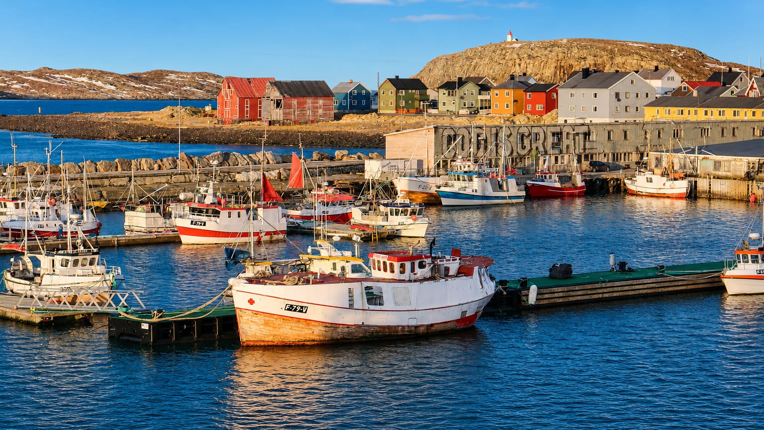
Vardø is the easternmost town in Norway, an island fortress town on the Barents coast of Finnmark.
Find your area →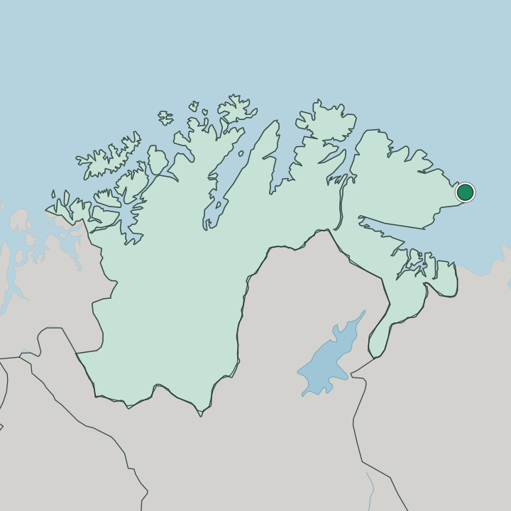
Where to stay in Vardø
Not every neighbourhood fits every trip — here's what each one is good for.
Vardø is small. An island town, it keeps its beds clustered within walking reach of the harbour and the main street, so wherever you sleep you are close to the quay. The town wraps tightly around its port, which means the parish church, the museum and the waterfront all stand a short walk apart, and you can reach the memorial on foot whenever the weather allows.
The area around Vardø kirke and the harbour is the practical base for a first visit, near the shops. If you want to be closest to the witchcraft memorial, the seaward end of the island toward Steilneset minnested puts you nearest the burning ground and the open water that defines this exposed corner of Finnmark. You are never far from the Barents Sea.
That nearness is the point.
About Vardø
What is Vardø known for?
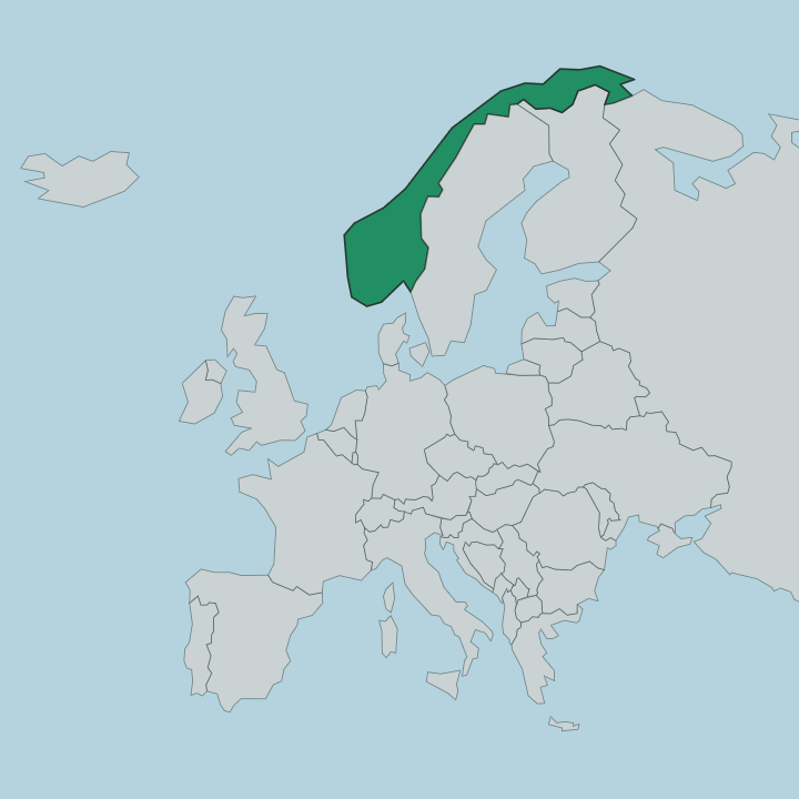
Vardø is known for sitting at the eastern edge of the country, a town that lies east of Istanbul on the Barents coast. The memory runs dark here. Steilneset minnested marks the place where people accused of witchcraft were burned, while Vardø museum keeps the longer record of a fishing settlement that watched the sea for centuries.
The town belongs to northern Norway (Nord-Norge), set in the north-eastern part of Finnmark.
What are the main landmarks in Vardø?
Steilneset minnested is the landmark people come for, a memorial to the witchcraft trials on the seaward edge of the island. Vardø kirke rises over the town as its parish church, with the older Vardø kapell standing apart on its own ground. Along the coast the Kiberg bedehuskapell marks the smaller settlement of Kiberg.
Vardø museum ties them together. The story sits here.
What is the history of Vardø?
Vardø grew as a fishing and trading post at the eastern edge of the realm, a place where Norway met the Barents Sea and the routes that ran east from it. Its position made it a watch point. For long stretches the town looked seaward, living on cod and the traffic that the open water brought past the island.
The darkest chapter belongs to the seventeenth century, when scores of people from this far northern district were accused of witchcraft and put to death. Steilneset minnested now marks that ground, a long memorial raised where the burnings took place. Nearby stand the religious buildings that anchored the community through harder centuries: Vardø kirke, the small Vardø kapell, and the Kiberg bedehuskapell that served the settlement along the coast.
Vardø museum gathers what survives of all this. The collection traces the fishing economy, the trade, and the lives of people who held a town together at the most exposed point of Finnmark, in northern Norway (Nord-Norge).
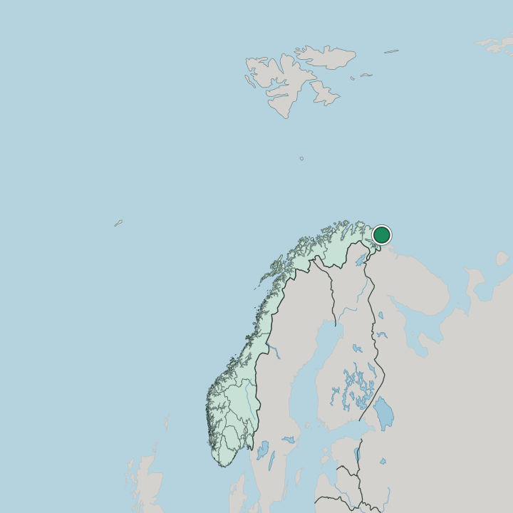
Where is Vardø?
The town stands on an island just off the mainland, the easternmost settled point of Norway, reaching into the Barents Sea. No natural trees grow here. The exposed ground and the constant wind off the water shape every street, and the sea wraps the island so completely that the open Barents is visible from almost any corner of Vardø.
Finnmark stretches west and south behind it.
What is the climate of Vardø?
Vardø carries one of the few Arctic climates found anywhere in Norway. It is cold and raw. The annual average sits near freezing and even July stays cool by the Barents Sea, which is exactly why no natural trees take root on the island.
Wind off the water keeps the air sharp through every season in this corner of Finnmark.
How do you get to Vardø?
Vardø sits at the end of the road in the north-eastern part of Finnmark, reached by the route that runs out along the Barents coast and through the tunnel to the island. The coastal ship calls here. It is a long way from anywhere, the easternmost stop in Norway, so most visitors arrive by the long northern drive or by the boat that works its way up the Finnmark shore.
Good for
More cities in Finnmark
Updated July 2026